
Eastern North America, by Zacharias Châtelain. 1714
The Châtelain Family
Zacharias Châtelain (1684-1743) was a bookseller and publisher of Amsterdam. He was succeeded by his sons Zacharias jr and Henry Abraham. The Châtelain family was best known for the historical atlas Atlas Historique, ou nouvelle introduction à l’histoire…, a major work of its time. It was an encyclopaedia in seven volumes, including geography as one of its main subjects. The atlas was published in Amsterdam in seven volumes in various editions with different imprints from 1705 to 1739. An anonym person (Mr. C***) compiled the work with compositions of text, maps, plates and chronological and genealogical tables by Gueudeville, except volume 7, where H.P. Limiers took over this task. The maps were made mainly after the work of Guillaume de l'Isle.
The 1705 edition was published with the imprint “L’Honoré & Châtelain”. Later editions had the imprint: “les Frères Châtelain Libraires” or “L’Honoré & Châtelain Libraires”.
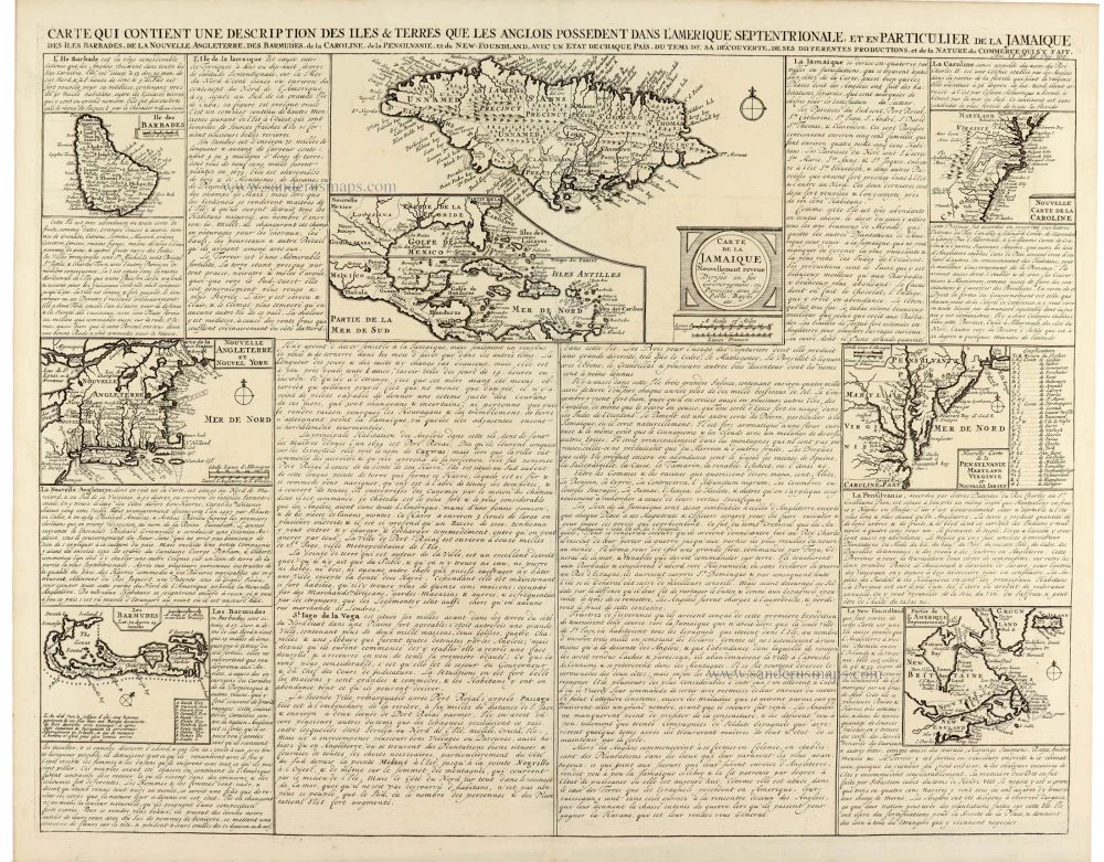
Carte Contient Une Description des Isles & Terres Que les Anglais Possèdent Dans L'Amerique Septentrionale et es Particulier de la Jamaique
Item Number: 33203 Authenticity Guarantee
Category: Antique maps > America > Central America
Eastern North America, by Zacharias Châtelain.
Title: Carte Contient Une Description des Isles & Terres Que les Anglais Possèdent Dans L'Amerique Septentrionale et es Particulier de la Jamaique
des Iles Barbades, de la Nouvelle Agleterre, des Barmudes, de la Caroline, de la Pensilvanie, et du New-Foundland, avec un Etat de chaque Païs, du tems de sa découverte, de ses differentes productions, et de la Nature du commerce qui s'y fait.
Tome VI N° 26. Pag: 100.
With 8 inset plans of eastern North America.
Date of the first edition: 1714.
Date of this map: 1714.
Copper engraving, printed on paper.
Image size: 410 x 520mm (16¼ x 20½ inches).
Sheet size: 440 x 550mm (17¼ x 21¾ inches).
Verso: Blank.
Condition: Excellent.
Condition Rating: A+.
From: Châtelain Z. Atlas Historique, ou Nouvelle Introduction A l'Histoire, à la Chronologie & à la Geographie Ancienne & Moderne; ... Tome IV. Qui comprend le Danemarck, la Suède, la Pologne, la Moscovie, la Turquie, etc. A Amsterdam, Chez les Frères Châtelain Libraires, M.DCC.XIV. (1714). (Koeman II, p. 36, Cha5)
The Châtelain Family
Zacharias Châtelain (1684-1743) was a bookseller and publisher of Amsterdam. He was succeeded by his sons Zacharias jr and Henry Abraham. The Châtelain family was best known for the historical atlas Atlas Historique, ou nouvelle introduction à l’histoire…, a major work of its time. It was an encyclopaedia in seven volumes, including geography as one of its main subjects. The atlas was published in Amsterdam in seven volumes in various editions with different imprints from 1705 to 1739. An anonym person (Mr. C***) compiled the work with compositions of text, maps, plates and chronological and genealogical tables by Gueudeville, except volume 7, where H.P. Limiers took over this task. The maps were made mainly after the work of Guillaume de l'Isle.
The 1705 edition was published with the imprint “L’Honoré & Châtelain”. Later editions had the imprint: “les Frères Châtelain Libraires” or “L’Honoré & Châtelain Libraires”.
Related items

Canada ou Nouvelle France. 1685
North America (Northeast), by A.M. Mallet.
[Item number: 26601]

Amerique Septentrionale. 1685
North America, by A.M. Mallet.
[Item number: 26643]

Earliest obtainable map of North America
Mondo Nuovo - Descrittione del l'Isola et Terra di Sancta Croce, overo Mondo Nuovo. 1576
Tomaso Porcacchi., North America
[Item number: 27651]

Early 'Texas' map
Nueva Hispania Tabula Nova. 1574
North America, by Girolamo Ruscelli.
[Item number: 27755]
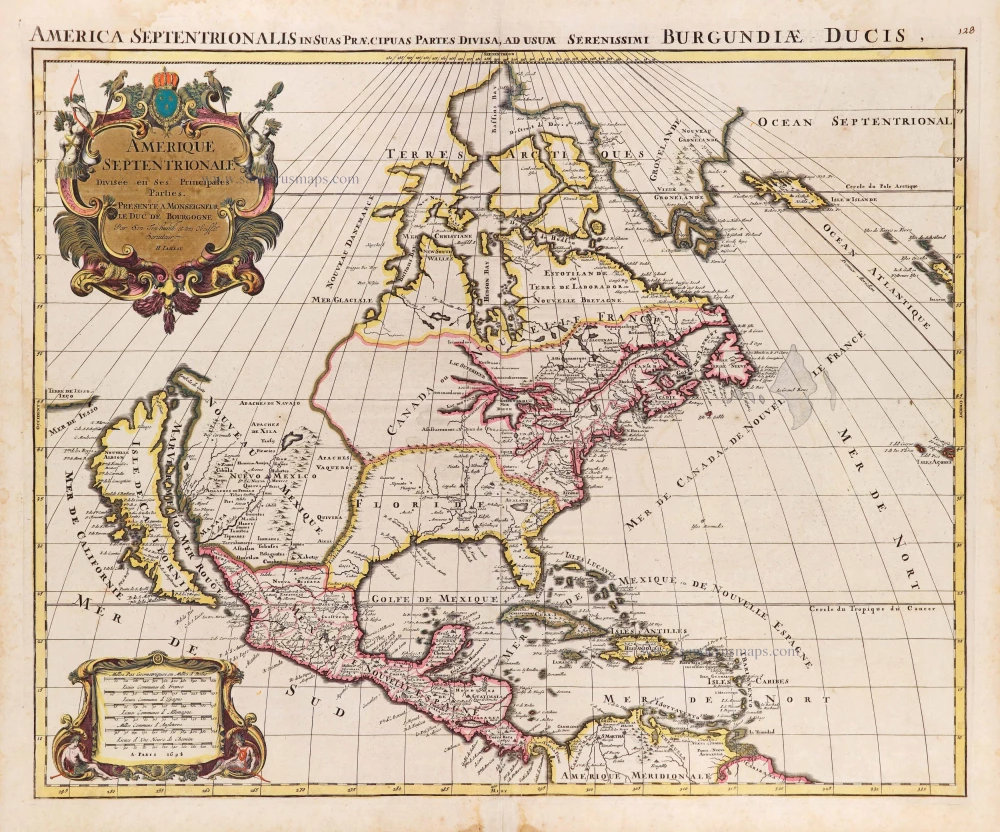
Amerique Septentrionale, Divisee en ses Principales Parties. 1694
North America, by Nicolas Sanson, published by Pierre Mortier after A.H. Jaillot.
[Item number: 29125]

Septemtrionaliora Americae à Groenlandia, per Freta Davidis et Hudson, ad Terram Novam = De Noordelyckste Zee kusten van America van Goenland door de Straet Davis ende Straet Hudson tot Terra Neuf. c. 1690
North-Eastern Coasts of North America (Canada), by Frederick de Wit.
[Item number: 29242]

Carte de la Nouvelle France, ou se Voit le Cours des Grandes Rivieres de S. Laurens & de Mississipi Aujourd'hui S. Louis, Aux environs des quelles se trouvent les Etats, Païs, Nations, Peuples &c. de la Floride, de la Louisiane, de la Virginie, de la Marie-Lande, de la Pensilvanie, du Nouveau Jersay, de la Nouvelle Yorck, de la Nouv. Angleterre, de l'Acadie, du Canada, des Esquimaux, des Hurons, des Iroquois, des Ilinois &c. Et de la Grande Ile de Terre Neuve:. 1719
Eastern North America (U.S.), by Zacharias Châtelain.
[Item number: 29365]

California as an island.
Americque Septentrionale. 1715
North America by Nicolas Sanson, published by Nicolas Chemereau.
[Item number: 30086]

Carte de la Partie de l'Amérique Septentrionale, comprenant les Possessions Espagnoles. 1788
North America by Louis Brion de la Tour.
[Item number: 30144]

Carte d'Assemblage de l'Amérique Septen-le 1827
North America by Philippe Vandermaelen.
[Item number: 31099]

Scarce
Virginia et Nova Francia. 1618
East Coast by Bertius Petrus.
[Item number: 32328]

't Noorder Gedeelte van Virginie door Batholomeus Gosnol en Martin Pringe uyt Engeland bevaaren. 1707
North Atlantic Ocean showing the east coast of North America, Greenland, Iceland, Azores, and part of Europe/Africa, by Pieter Van der Aa.
[Item number: 32402]

L' America Settentrionale. 1677
North America by Giovanni De Rossi, after Nicolas Sanson.
[Item number: 32889]

Amerique Septentrionale. 1659
Nicolas Sanson's landmark map of North America, scarce second state.
[Item number: 33218]
new
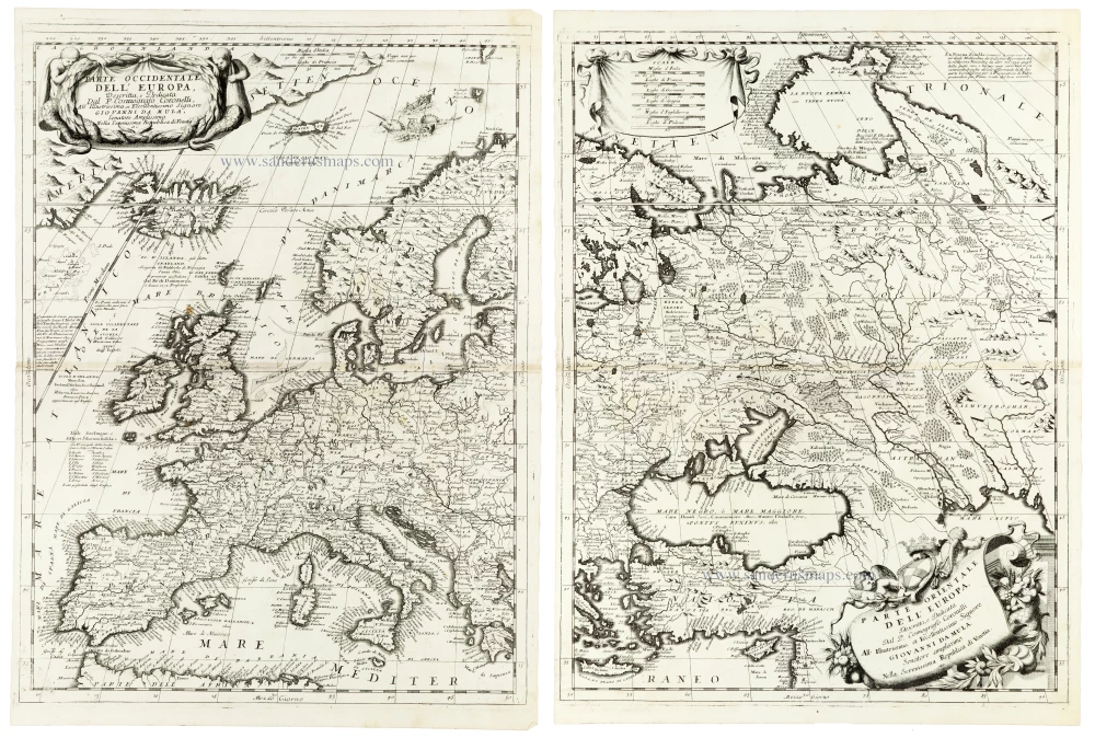
Parte Occidentale dell'Europa [in set with] Parte Orientale dell'Europa 1691
Europe, by V.M. Coronelli.
[Item number: 33305]
new
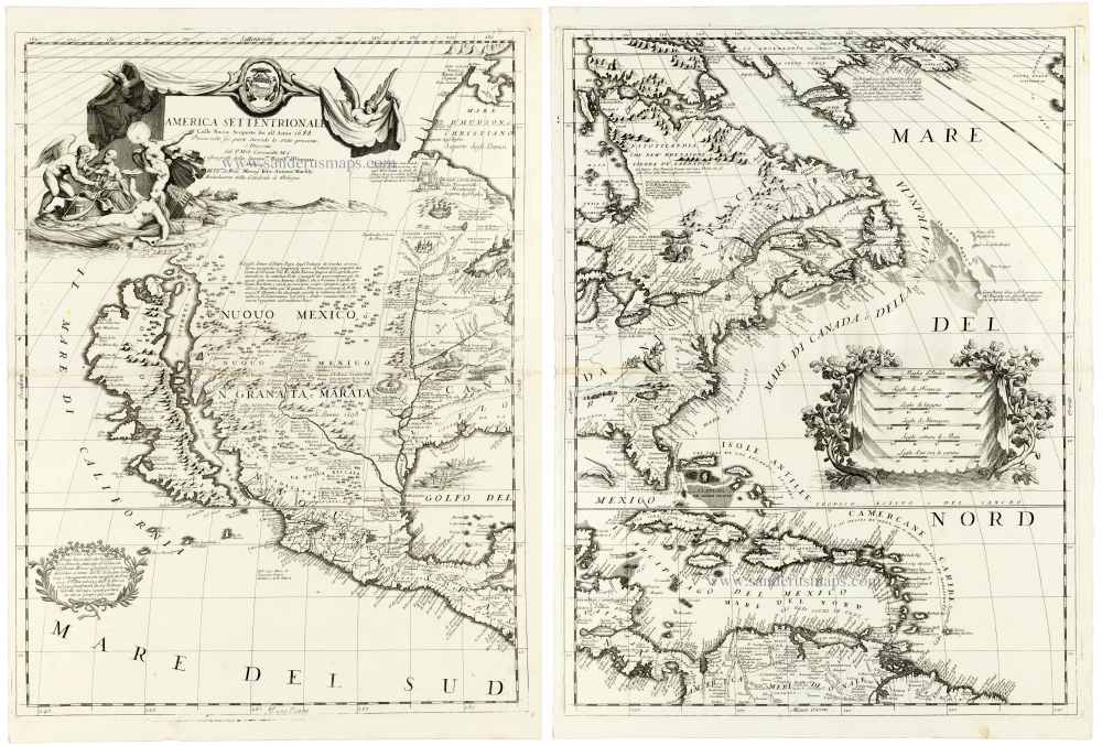
A masterpiece of late seventeenth-century Italian cartography
America Settentrionale Colle Nuove Scoperte sin all' Anno 1688. 1691
North America by Coronelli V.M. (1650-1718
[Item number: 33306]
new
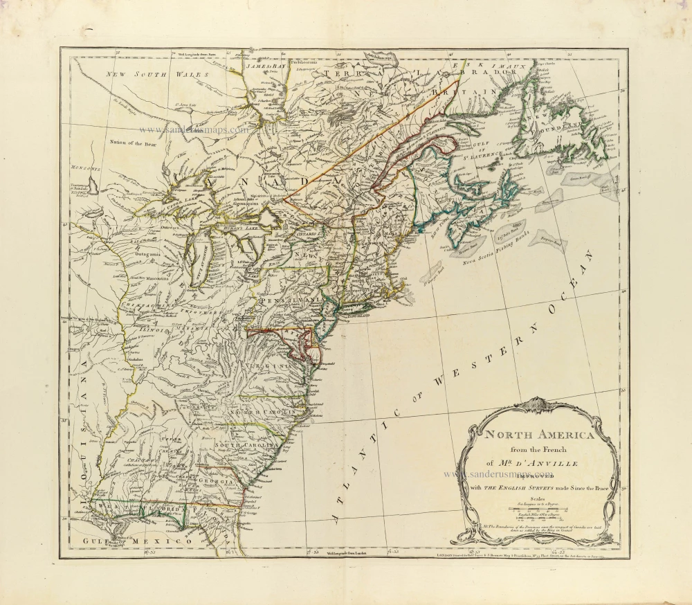
North America from the French of Mr. d'Anville improved with The English Surveys made Since the Peace. 1775
Eastern North America by J.B. Bourguignon d'Anville, published by Robert Sayer and John Bennett.
[Item number: 33360]
new