Antique maps catalogue
- All recent additions
-
Antique maps
- Polar maps
- World
-
Europe
- Europe Continent
- Belgium
- Belgium - Cities
- The Low Countries
- The Netherlands
- The Netherlands - Cities
- Luxembourg
- France
- France - Cities
- Germany
- Germany - Cities
- Austria
- Italy
- Italy - Cities
- Spain and Portugal
- Greece & Greek Islands
- Switzerland
- British Isles
- British Isles - Cities
- Northern Europe
- Central Europe
- Eastern Europe
- Southeastern Europe
- America
- Asia
- Africa
- Mediterranean Sea
- Australia
- Oceans
- Celestial Maps
- Curiosities
- Title Pages
- Books
- Medieval manuscripts
- Prints
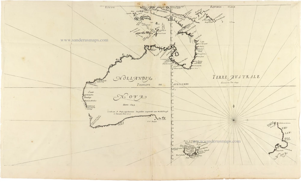
Cornerstone map of Australia
Thevenot Melchisedech, Australia 1663-72.
Hollandia Nova detecta 1644. - Terre Australe decouuerte l'an...
[Item number: 31818]
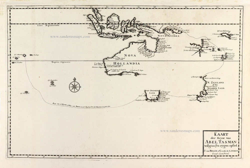
Important map with Tasman's first voyage
Valentyn François, Australia 1726
Kaart der Reyse van Abel Tasman Volgens syn eygen Opstel.
[Item number: 31086]
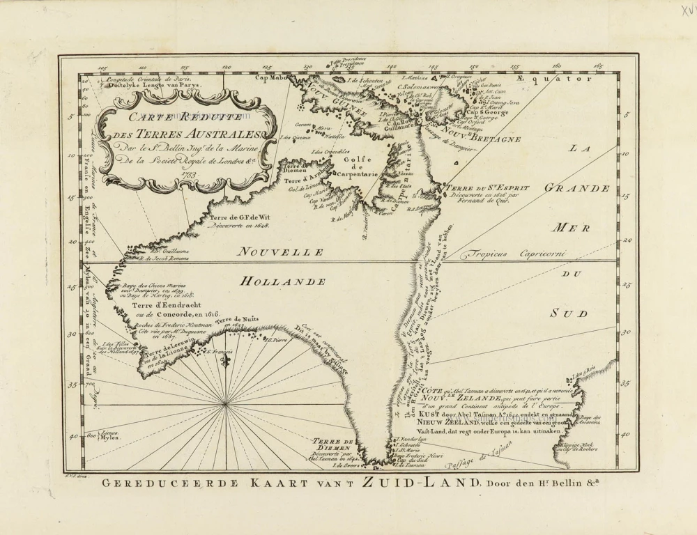
A Rare Pre-Cook Map Focusing on Australia
Australia by Jacques-Nicolas Bellin, published by A.F. Prévost. 1758
Carte Réduite des Terres Australes.
[Item number: 31885]
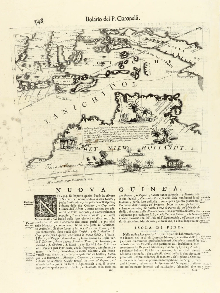
Globe gore with Northern Australia and the East Indies, by V.M. Coronelli. 1696
Nuova Guinea.
[Item number: 30785]
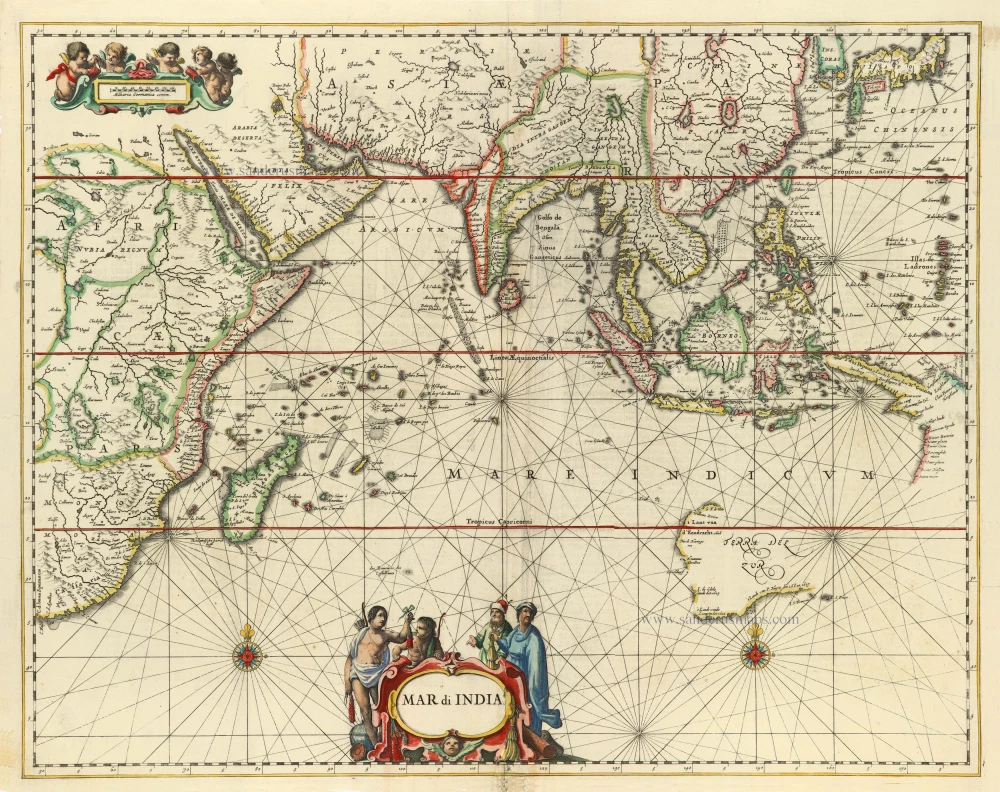
First folio sea chart from the Dutch Golden Age
Indian Ocean by J. Janssonius 1650
Mar di India.
[Item number: 32184]
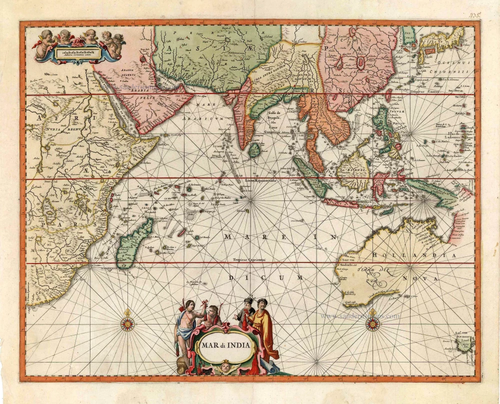
Very rare second state, including the Tasman discoveries (Australia).
Indian Ocean, by Petrus Schenk c. 1700
Mar di India.
[Item number: 27775]
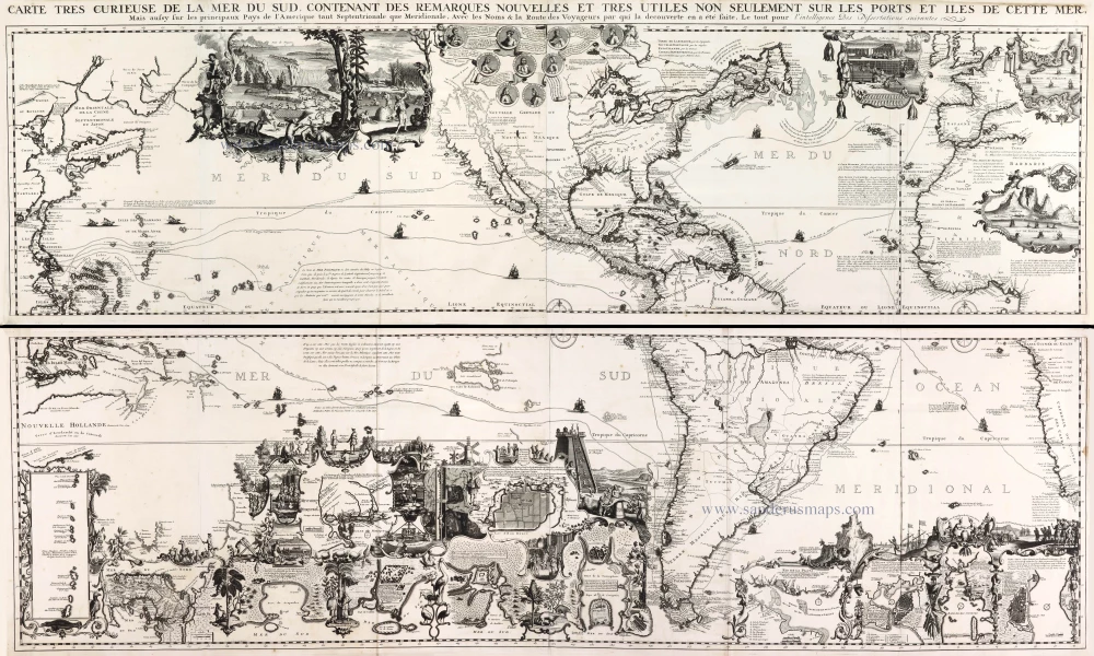
One of the most elaborately engraved maps ever published.
Pacific by Zacharias Châtelain after Nicolas de Fer. 1719
Carte tres Curieuse de la Mer du Sud, Contenant des Remarques...
[Item number: 29466]

Beautiful example of this important map
Southeast Asia, by Abraham Ortelius. 1587
Indiae Orientalis Insularumque Adiacientium Typus.
[Item number: 32831]
new
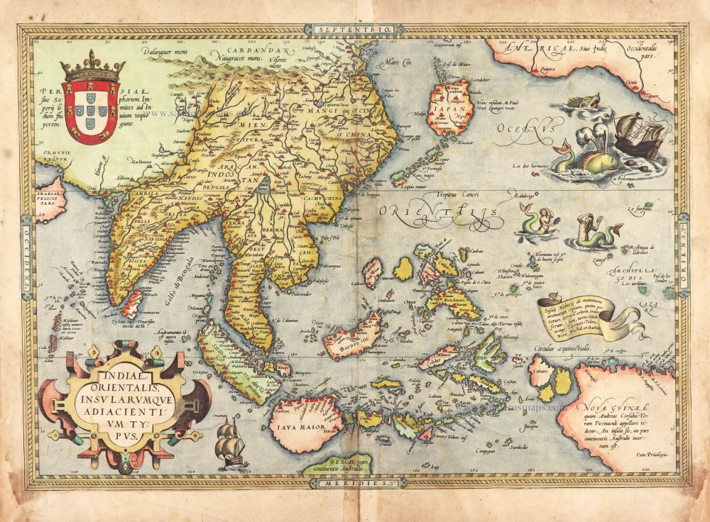
Very rare first 1570 A edition.
Southeast Asia, by Abraham Ortelius. 1570
Indiae Orientalis Insularumque Adiacientium Typus.
[Item number: 30592]

This map has the first accurate depiction of the Philippines
Southeast Asia by Willem & Joan Blaeu 1640-43
India quae Orientalis dicitur et Insulae Adiacentes.
[Item number: 26566]
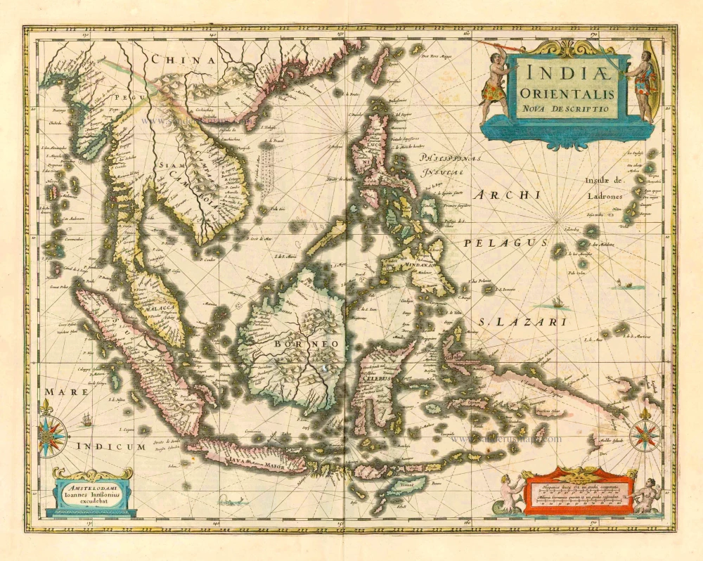
The most accurate and one of the most elegant 17th c. maps of the East Indies
Southeast Asia by Janssonius, Johannes 1644-58
Indiae Orientalis Nova Descriptio.
[Item number: 10013]
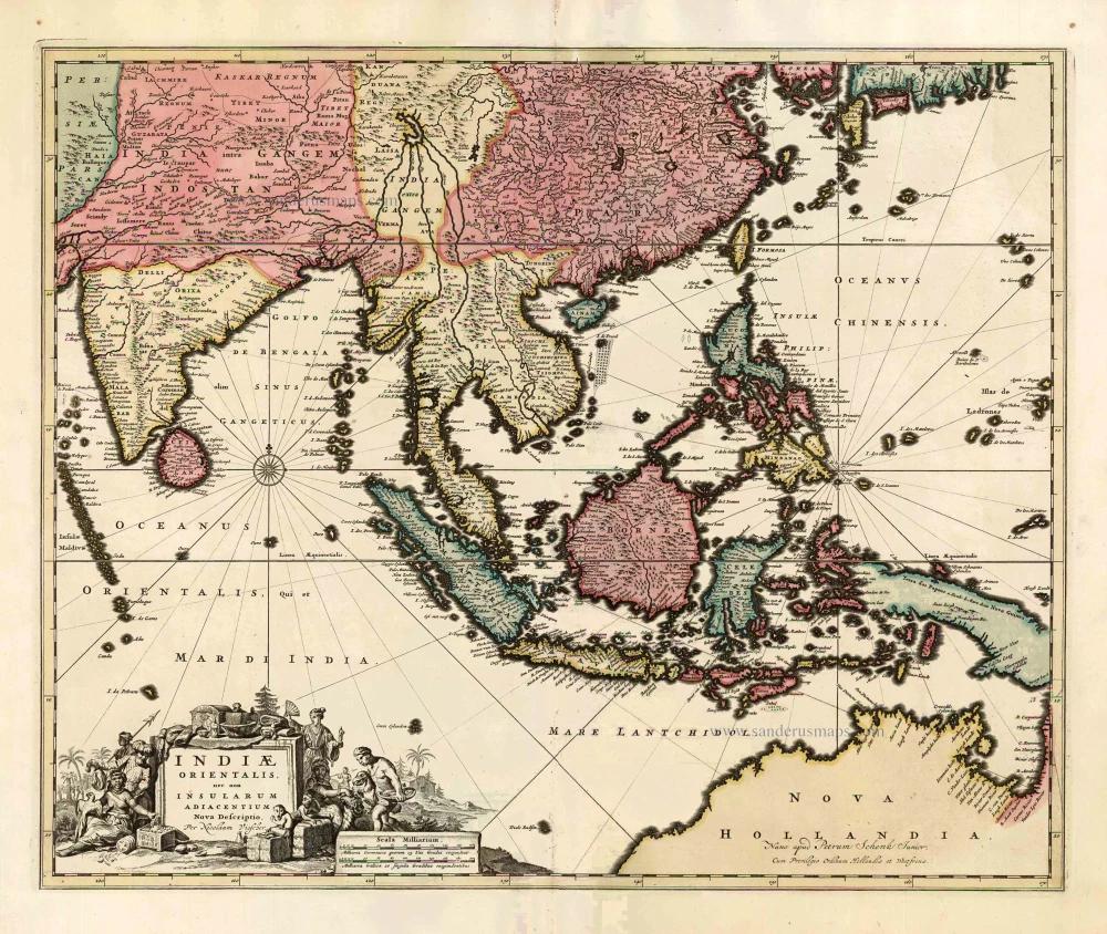
Southeast Asia by Nicolaes Visscher, published by Petrus Schenk. c. 1740
Indiae Orientalis nec non Insularum Adiacentium Nova Descriptio.
[Item number: 25718]
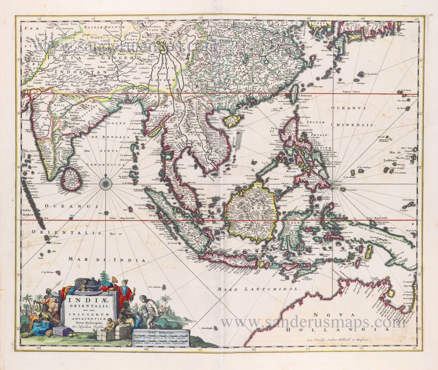
Southeast Asia by Nicolaes Visscher I. 1678
Indiae Orientalis nec non Insularum Adiacentium Nova Descriptio.
[Item number: 28555]
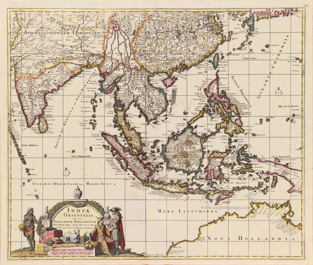
Southeast Asia - Australia by Frederick de Wit. c. 1691-97
Indiae Orientalis nec non Insularum Adiacentium.
[Item number: 29091]
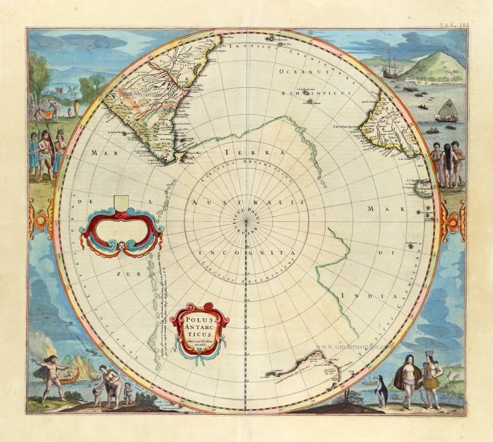
First state, 'Henricus Hondius'.
South Pole, by Henricus Hondius. 1637
Polus Antarcticus.
[Item number: 30054]
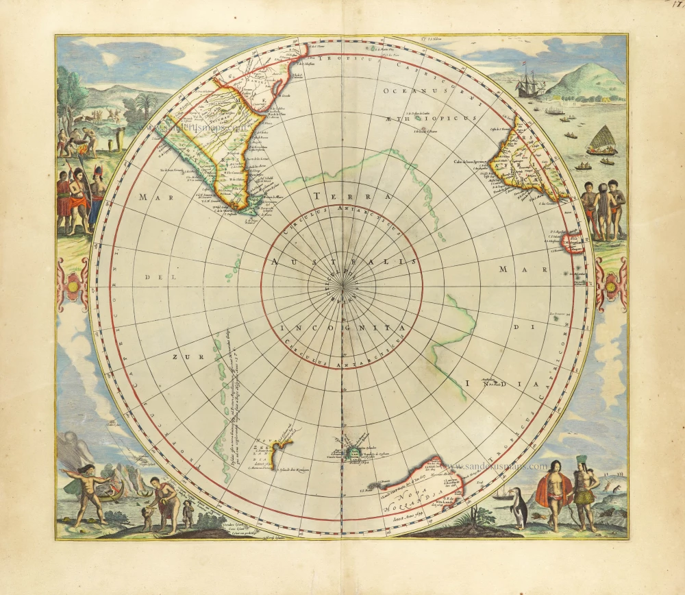
Scarce edition with New Zeeland & Tasmania by J. Janssonius.
South Pole, by Henricus Hondius, published by J. Janssonius. 1666
Polus Antarcticus.
[Item number: 30316]
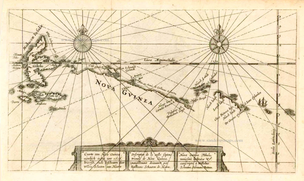
New Guinea, by W.C. Schouten 1618
Caarte van Nova Guinea, Nieulijck inden iare 1616 bezeijlt, ende...
[Item number: 25400]
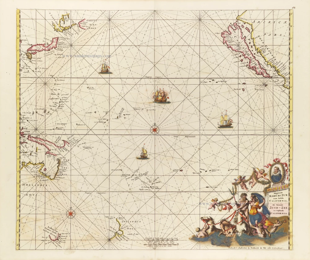
Pacific Ocean, by Frederick de Wit. c. 1680
Magnum Mare del Zur cum Insula California = De Groote Zuyd-Zee...
[Item number: 29241]
![Magallanica sive Terra Australis Incognita. [Title in map]](https://sanderusmaps.com/assets/WEBP/m28836.webp)
Antarctic Region by Johannes Janssonius van Waesbergen. 1676
Magallanica sive Terra Australis Incognita. [Title in map]
[Item number: 28836]
![Magallanica sive Terra Australis Incognita. [Title in map]](https://sanderusmaps.com/assets/WEBP/m29797.webp)
Antartic Region by Petrus Bertius. 1616
Magallanica sive Terra Australis Incognita. [Title in map]
[Item number: 29797]
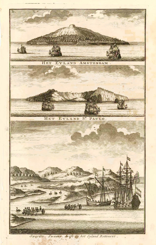
View of Australia, by François Valentyn. 1726
Swarte Swaane drift op het Eyland Rottenest.
[Item number: 27920]
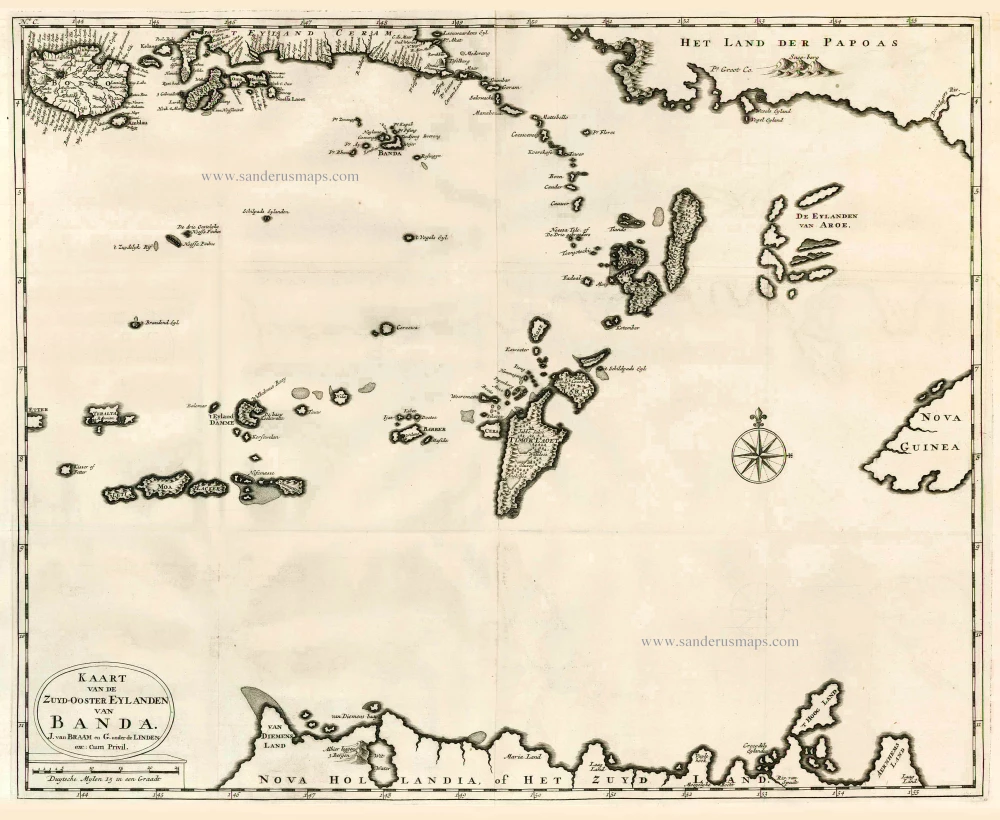
The Banda Islands (Southeast) & Northern Australia, by Fr. Valentyn. 1724-26
Kaart van de Zuyd-Ooster Eylanden van Banda.
[Item number: 26608]

Chart of the route of Schouten and Le Maire north of New Guinea, and the Moluccas, by A. de Herrera, published by M. Colijn. 1622
Caerte vande Landen vande Papouas ofte Nova Guinea nae de...
[Item number: 4165]

Scarce
Indian Ocean by Pieter Vander Aa 1714
Basora En de Landschappen Tussen den Eufrat en Tiger stroom, een...
[Item number: 31082]
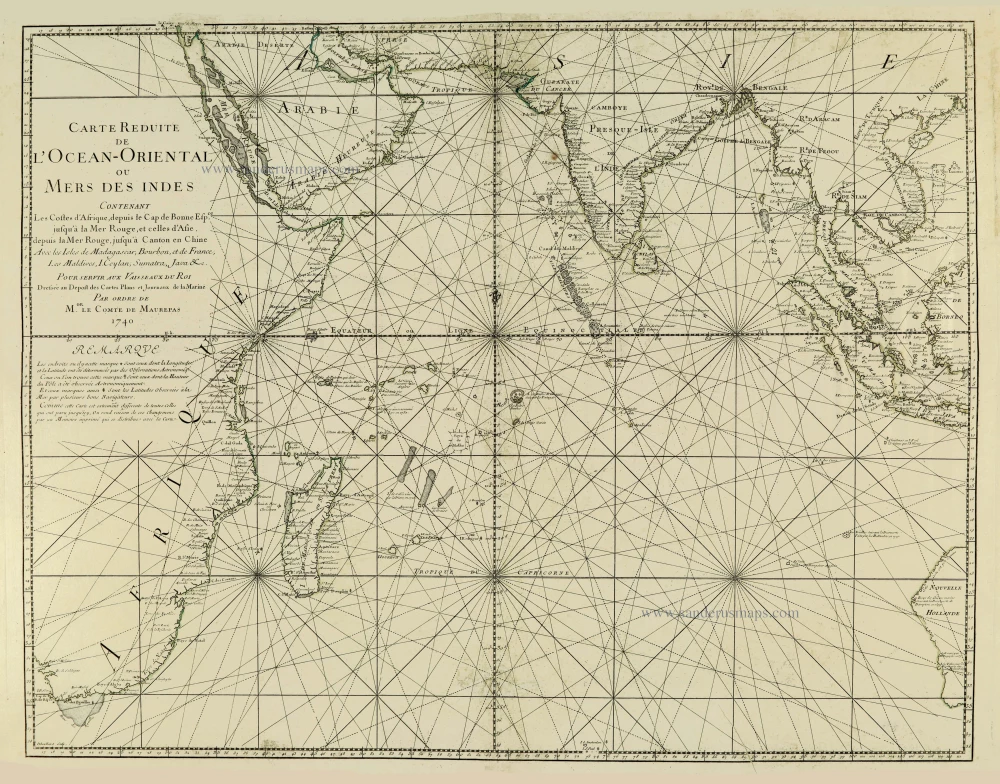
Indian Ocean, by J.N. Bellin. 1756-1770
Carte Réduite de l'Océan Oriental ou Mers des Indes.
[Item number: 28148]
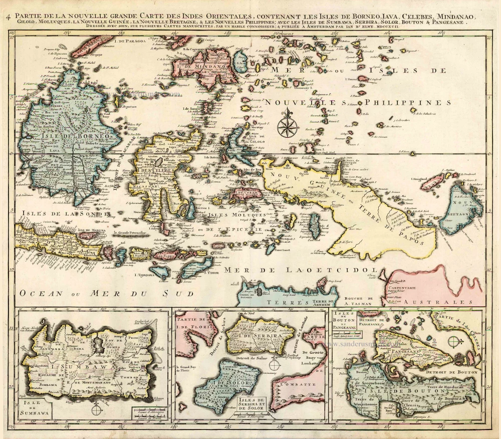
Indonesia - New Guinea - Australia by J.B. Elwe. 1792
Partie de la Nouvelle Grande Carte des Indes Orientales,...
[Item number: 2293]
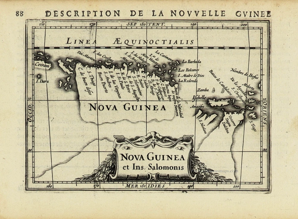
New Guinea by Petrus Bertius, published by Jodocus Hondius II. 1618
Nova Guinea et Ins. Salomonis.
[Item number: 31528]

Rare chart showing the route taken by Schouten and le Maire from South America to New Guinea, by Michiel Colijn. 1622
Caerte van de zeylage van Jacob le Maire over de Zuydzee,...
[Item number: 25104]
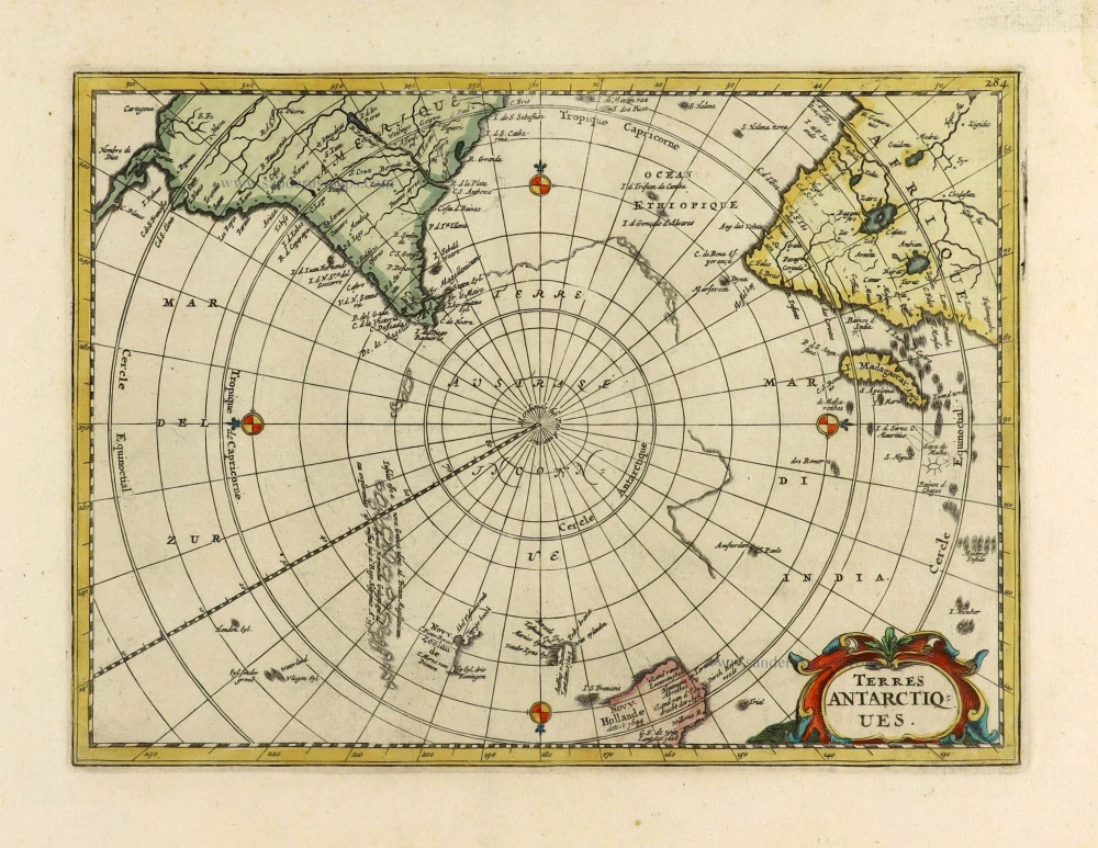
With Tasman discoveries.
South Pole by Henri Du Sauzet. 1734
Terres Antarctiques.
[Item number: 28364]
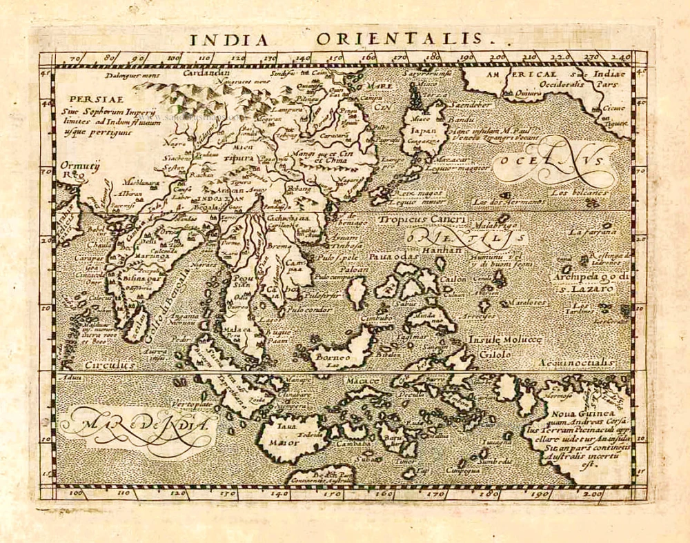
Southeast Asia, by Giovanni Magini. 1597
India Orientalis.
[Item number: 26521]
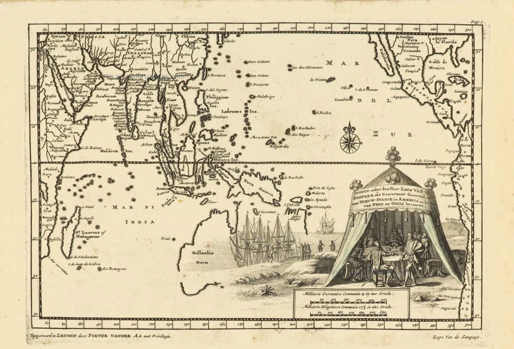
Southeast Asia and Australia, by Pieter Van der Aa. 1707
Indien onder den Heer Lopo Vaz de Sampayo, als Gouverneur...
[Item number: 32359]
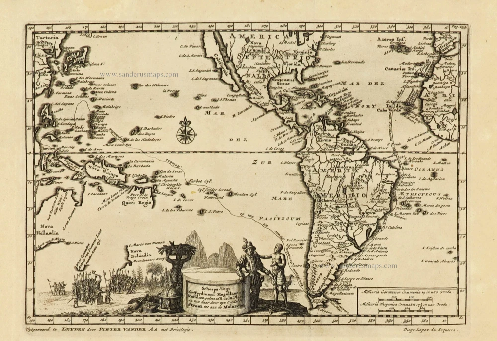
Rare and interesting map
Voyage of Magellan from Spain to Asia, by Pieter Van der Aa. 1707
Scheeps-Togt door Ferdinand Magellaan uit Kastilien gedaan na R....
[Item number: 32347]
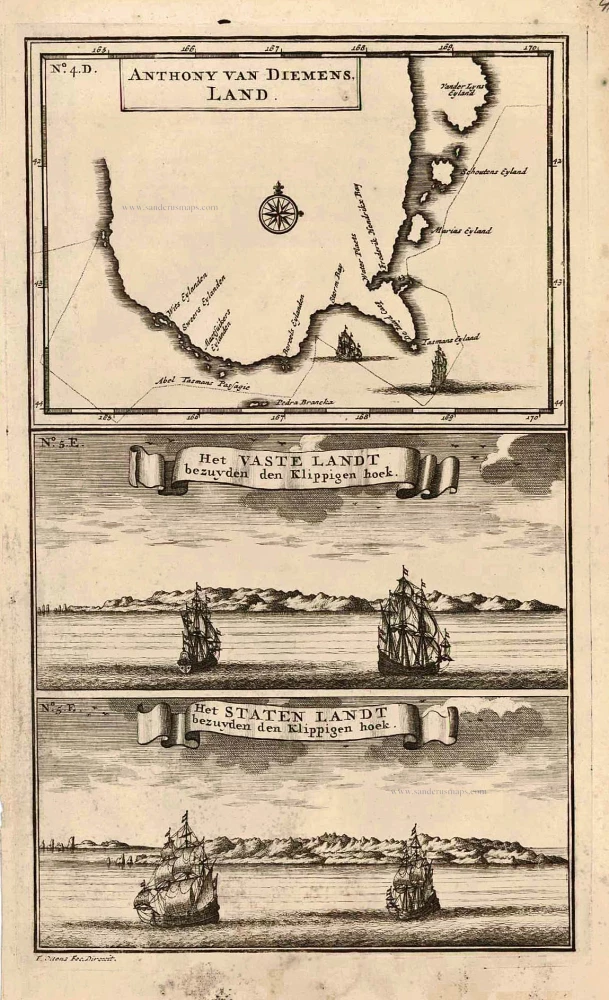
Map and views of Tasmania, by François Valentyn. 1726
Anthony van Diemens Land | Het vaste Landt bezuyden den...
[Item number: 27921]
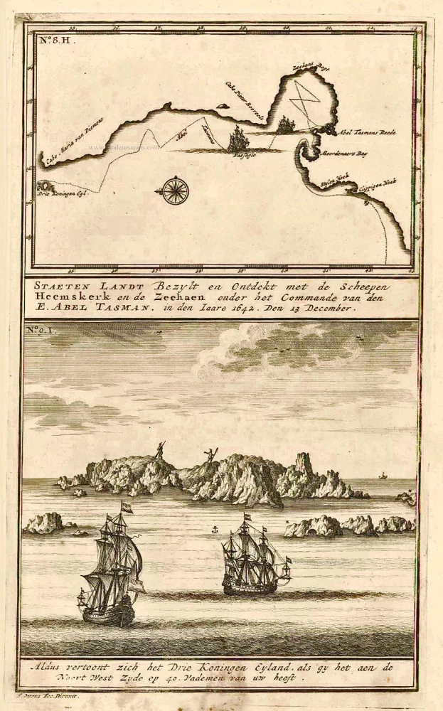
New Zealand, by François Valentyn. 1726
Staeten Landt Bezylt en Ontdekt met de Scheepen Heemskerk en de...
[Item number: 27922]
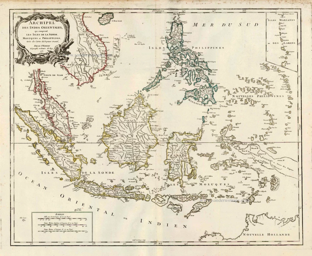
Southeast Asia, par Robert de Vaugondy. c. 1757
Archipel des Indes Orientales qui Comprend les Isles de la...
[Item number: 4751]