
View of Australia, by François Valentyn. 1726
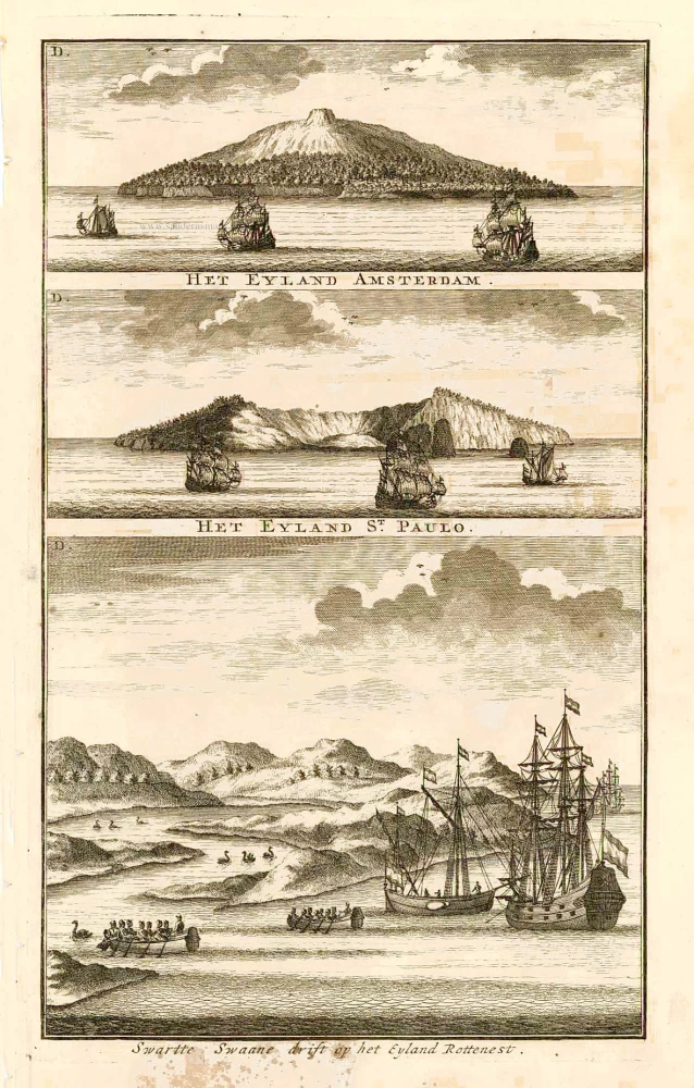
The first printed view of Australia.
François Valentijn (1666-1727)
François Valentijn was a minister who devoted most of his life to the employ of the V.O.C. In 1685 he was sent by the V.O.C. to Ambon as a Minister to the East Indies, where he remained for a decade. He returned and lived in Holland for about ten years before returning to the Indies in 1705. The following year Valentijn was Army Chaplain on an expedition in eastern Java but suffered health problems and requested permission to return to Holland.
Finally, back home, Valentijn composed his monumental work, Oud en Nieuw Oost-Indien. This massive work of five parts in eight volumes appeared between 1724 and 1726. It was created both from the voluminous journals Valentijn had amassed during his two stays in Southeast Asia, as well as from his own research, correspondence, and previously unpublished material secured from V.O.C. officials. It contained over one thousand engraved illustrations and some of the most accurate maps of the Indies of this time.
Swarte Swaane drift op het Eyland Rottenest.
Item Number: 27920 Authenticity Guarantee
Category: Antique maps > Australia
Old, antique view of Australia, by François Valentyn (Valentijn).
On one plate with two other views of the islands Amsterdam and St Paul, two small islands in the southern Indian Ocean.
Title: Swarte Swaane drift op het Eyland Rottenest.
Date of the first edition: 1726.
Date of this map: 1726.
Copper engraving, printed on paper.
Size (not including margins): 290 x 175mm (11.42 x 6.89 inches).
Verso: Blank.
Condition: Some staining in lower margin.
Condition Rating: A.
References: Landwehr (VOC), #467.3b(33)
From: Valentyn F., Oud en Nieuw Oost-Indien, vervattende Een Naaukeurige en Uitvoerige Verhandelinge van Nederlands Mogendheyd In die Geweesten. Amsterdam, J. van Braam & G. onder de Linden, 1724-26.
The first printed view of Australia.
François Valentijn (1666-1727)
François Valentijn was a minister who devoted most of his life to the employ of the V.O.C. In 1685 he was sent by the V.O.C. to Ambon as a Minister to the East Indies, where he remained for a decade. He returned and lived in Holland for about ten years before returning to the Indies in 1705. The following year Valentijn was Army Chaplain on an expedition in eastern Java but suffered health problems and requested permission to return to Holland.
Finally, back home, Valentijn composed his monumental work, Oud en Nieuw Oost-Indien. This massive work of five parts in eight volumes appeared between 1724 and 1726. It was created both from the voluminous journals Valentijn had amassed during his two stays in Southeast Asia, as well as from his own research, correspondence, and previously unpublished material secured from V.O.C. officials. It contained over one thousand engraved illustrations and some of the most accurate maps of the Indies of this time.
Related items
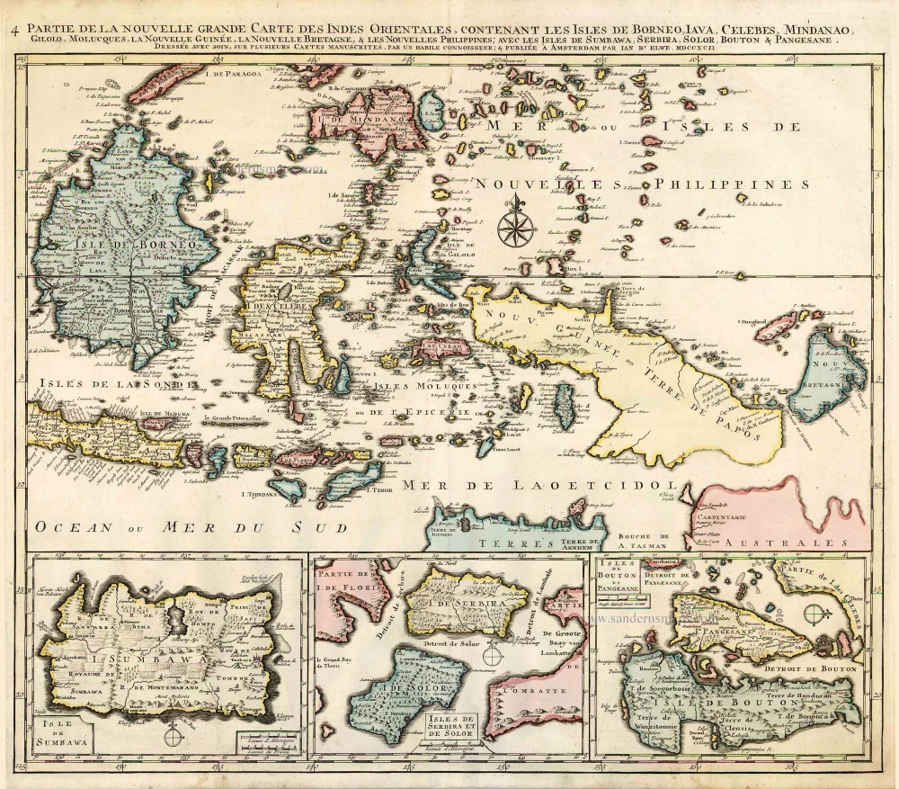
Partie de la Nouvelle Grande Carte des Indes Orientales, Contenant les Isles de Borneo, Iava, Celebes, Mindanao ... 1792
Indonesia - New Guinea - Australia by J.B. Elwe.
[Item number: 2293]

Kaart van de Zuyd-Ooster Eylanden van Banda. 1724-26
The Banda Islands (Southeast) & Northern Australia, by Fr. Valentyn.
[Item number: 26608]
Very rare second state, including the Tasman discoveries (Australia).
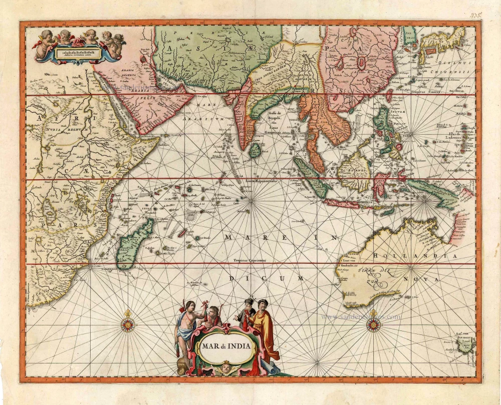
Mar di India. c. 1700
Indian Ocean, by Petrus Schenk
[Item number: 27775]

Anthony van Diemens Land | Het vaste Landt bezuyden den Klippigen hoek. | Het Staten Landt bezuyden den Klippigen hoek. 1726
Map and views of Tasmania, by François Valentyn.
[Item number: 27921]

Staeten Landt Bezylt en Ontdekt met de Scheepen Heemskerk en de Zeehaen onder het Commande van den E. Abel Tasman. In den Iaare 1642. Den 13 December.. 1726
New Zealand, by François Valentyn.
[Item number: 27922]

Important map with Tasman's first voyage
Kaart der Reyse van Abel Tasman Volgens syn eygen Opstel. 1726
Valentyn François, Australia
[Item number: 31086]
Cornerstone map of Australia
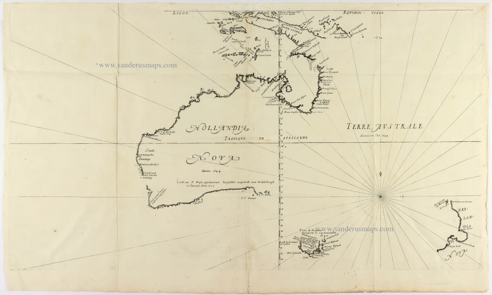
Hollandia Nova detecta 1644. - Terre Australe decouuerte l'an 1644. 1663-72.
Thevenot Melchisedech, Australia
[Item number: 31818]

A Rare Pre-Cook Map Focusing on Australia
Carte Réduite des Terres Australes. 1758
Australia by Jacques-Nicolas Bellin, published by A.F. Prévost.
[Item number: 31885]
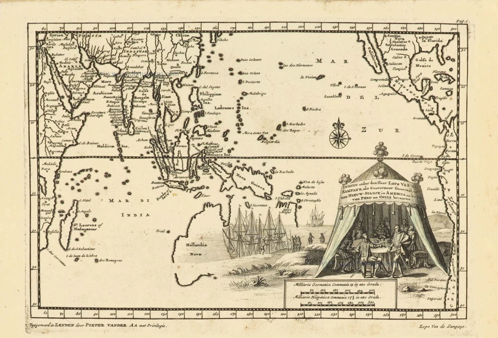
Indien onder den Heer Lopo Vaz de Sampayo, als Gouverneur Generaal tot aan Nieuw-Spanje in Amrica en kusten van Peru en Chili bevaaren. 1707
Southeast Asia and Australia, by Pieter Van der Aa.
[Item number: 32359]