
Southeast Asia - Australia by Frederick de Wit. c. 1691-97

Frederick de Wit (1630-1706)
The engraver and map-seller, Frederick de Wit, was born in Gouda (Netherlands) in 1630 as a son of Hendrick Fredericksz de Wit. Through his marriage with Maria van der Waag of Amsterdam in 1661, he obtained citizenship of the city where he had been working since 1648 and where he became one of the most famous engravers of maps of the second half of the 17th century. Although De Wit was a Catholic, which meant that he was not favoured at the time by the city council, he was awarded the honour of being listed as one of the "excellent citizens" on the roll of the city council in the years 1694-1704. However, his name was not written in the Guild of St. Luke book before 1664. At that time, he lived on the Kalverstraat "in de Witte Pascaert", where he stayed until his death in 1706. His earliest dates on maps engraved are 1659 (Regni Daniae) and 1660 (World map).
Frederick de Wit published several world atlases, a sea atlas, and an atlas of the Netherlands.
The dating of the maps is difficult. However, as a privilege was granted in 1689, the annotation 'cum privilegio' marks an edition after 1688.
Around 1700, Frederick de Wit entered the market with a town atlas. He produced two volumes with a total of 260 plans and views. Most were printed from plates used for Janssonius and Blaeu town atlases.
After he died in 1706, his widow continued the shop until 1709. The plates and stock of De Wit's atlas were sold to Covens & Mortier in 1710, who sold the atlas for an extended period.
Indiae Orientalis nec non Insularum Adiacentium.
Item Number: 29091 Authenticity Guarantee
Category: Antique maps > Asia > Southeast Asia
Old, antique map of Southeast Asia - Australia by Frederick de Wit.
Title: Indiae Orientalis nec non Insularum Adiacentium.
Nova Descriptio edita per F. DE WITT.
Cum Privilegio Ordinum Hollandiae et West-frisiae.
Date of the first edition: ca. 1707-10.
Date of this map: c. 1691-97.
Copper engraving, printed on paper.
Map size: 505 x 600mm (19.88 x 23.62 inches).
Sheet size: 540 x 630mm (21.26 x 24.8 inches).
Verso: Blank.
Condition: Original coloured, green colour (verdigris) turned brown.
Condition Rating: A.
From: De Wit Atlas. Amsterdam, c. 1691-97.
Frederick de Wit (1630-1706)
The engraver and map-seller, Frederick de Wit, was born in Gouda (Netherlands) in 1630 as a son of Hendrick Fredericksz de Wit. Through his marriage with Maria van der Waag of Amsterdam in 1661, he obtained citizenship of the city where he had been working since 1648 and where he became one of the most famous engravers of maps of the second half of the 17th century. Although De Wit was a Catholic, which meant that he was not favoured at the time by the city council, he was awarded the honour of being listed as one of the "excellent citizens" on the roll of the city council in the years 1694-1704. However, his name was not written in the Guild of St. Luke book before 1664. At that time, he lived on the Kalverstraat "in de Witte Pascaert", where he stayed until his death in 1706. His earliest dates on maps engraved are 1659 (Regni Daniae) and 1660 (World map).
Frederick de Wit published several world atlases, a sea atlas, and an atlas of the Netherlands.
The dating of the maps is difficult. However, as a privilege was granted in 1689, the annotation 'cum privilegio' marks an edition after 1688.
Around 1700, Frederick de Wit entered the market with a town atlas. He produced two volumes with a total of 260 plans and views. Most were printed from plates used for Janssonius and Blaeu town atlases.
After he died in 1706, his widow continued the shop until 1709. The plates and stock of De Wit's atlas were sold to Covens & Mortier in 1710, who sold the atlas for an extended period.
Related items

Le Royaume de Siam avec les Royaumes qui luy sont Tributaires et les Isles de Sumatra Andemaon etc. et les isles voisines. 1719
Antique map of Southeast Asia by Châtelain
[Item number: 29372]
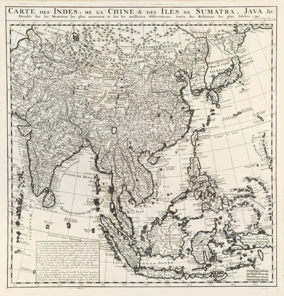
Carte des Indes, de la Chine & des Iles de Sumatra, Java &c. 1719
Southeast Asia, by Z. Châtelain.
[Item number: 29376]
The most elegant and decorative map of the region
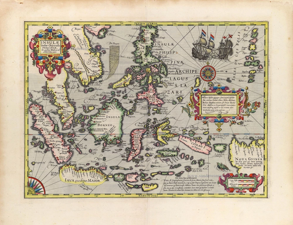
Insulae Indiae Orientalis Praecipuae, in quibus Moluccae celeberrimae sunt. 1630
East Indian Archipelago by Jodocus Hondius.
[Item number: 29863]
Rare
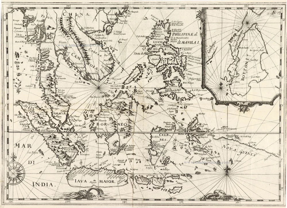
[No title] - 'Mar di India'. 1645
East Indies by van Spilbergen Joris.
[Item number: 30057]

Two early modern maps of Southeast Asia by L. Fries and M. Waldseemüller
Tabu. Moder. Indiae [together with] India Orien talis. 1535
South Asia by Lorens Fries
[Item number: 30141]

Important map with Tasman's first voyage
Kaart der Reyse van Abel Tasman Volgens syn eygen Opstel. 1726
Valentyn François, Australia
[Item number: 31086]

Scarce
D'Indize kusten van Bengale, Pegu, Malacca en Siam tot in China, met d'Eylanden Sumatra, Iava, Borneo, Moluccos en andere. [with:] De vaste kusten en eylanden van Indien, van Pegu en Malacca af, tot aan de Moluccos, etc. 1714
Southeast Asia by Pieter Vander Aa, two maps.
[Item number: 31123]
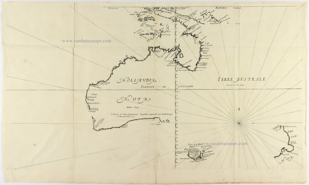
Cornerstone map of Australia
Hollandia Nova detecta 1644. - Terre Australe decouuerte l'an 1644. 1663-72.
Thevenot Melchisedech, Australia
[Item number: 31818]

A Rare Pre-Cook Map Focusing on Australia
Carte Réduite des Terres Australes. 1758
Australia by Jacques-Nicolas Bellin, published by A.F. Prévost.
[Item number: 31885]
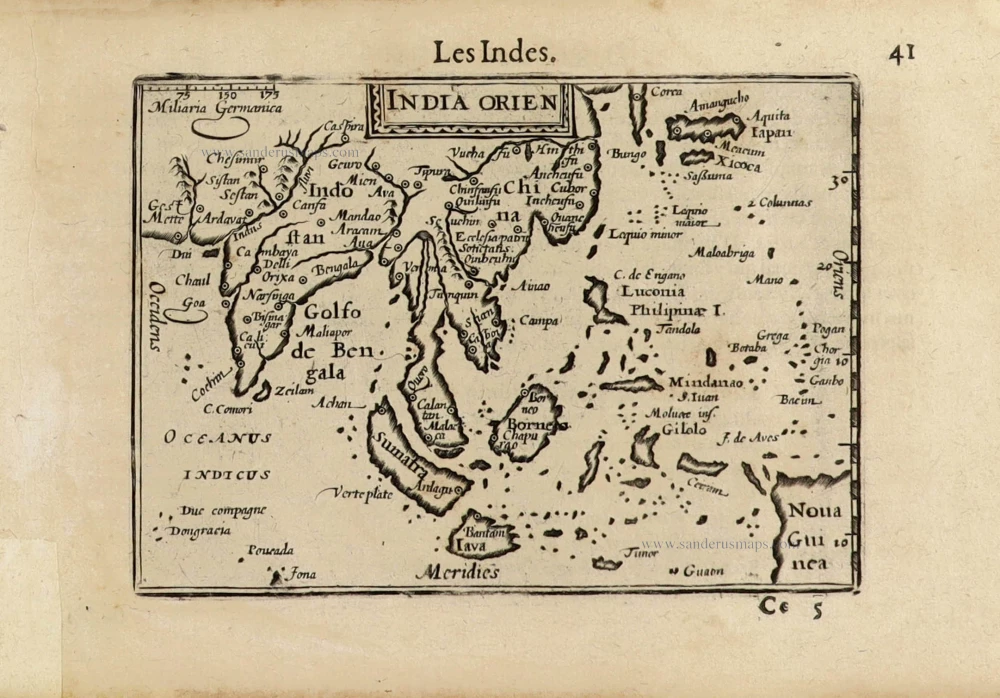
India Orien. c. 1600
Southeast Asia by Barent Langenes.
[Item number: 32298]

Scarce
Zee-togt van Alfonso d'Albuquerque na de Roode Zee, d'Arabize en Persize kusten, met die van Ormus, Guzaratte, Goa, Malacca en Verder Indien tot aan't Eiland Iava. 1707
Indian Ocean & Southeast Asia by Pieter Van der Aa.
[Item number: 32321]

Scarce
De Kusten van Guzaratte, Malabar, Bengale en Malacca met die van't Magtig Koninkryk Siam, tot aan China bestevend. 1707
Indian Ocean, India, Thailand, and Siam by Pieter Van der Aa.
[Item number: 32323]
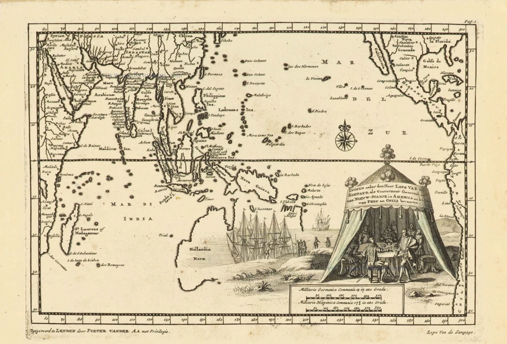
Indien onder den Heer Lopo Vaz de Sampayo, als Gouverneur Generaal tot aan Nieuw-Spanje in Amrica en kusten van Peru en Chili bevaaren. 1707
Southeast Asia and Australia, by Pieter Van der Aa.
[Item number: 32359]

Beautiful example of this important map
Indiae Orientalis Insularumque Adiacientium Typus. 1587
Southeast Asia, by Abraham Ortelius.
[Item number: 32831]