
Cornerstone map of Australia
Thevenot Melchisedech, Australia 1663-72.
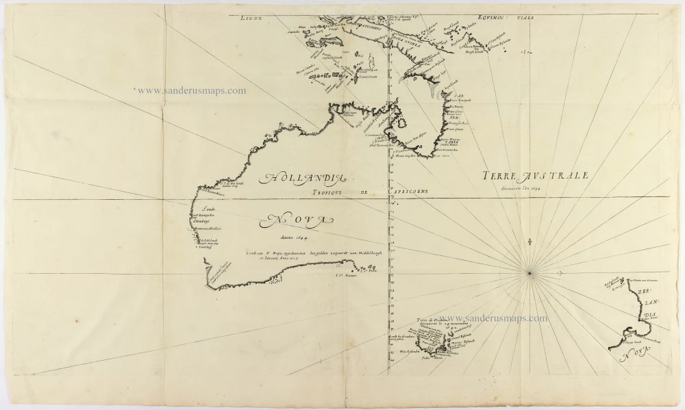
Thevenot's Tasman map is a cornerstone map of the mapping of Australia. It is one of the first to show parts of the Australian coastline in detail, based on Tasman's 1644 voyage. It shows part of the coast of New Guinea, Tasmania, and much of the east coast of Australia, and is a basic work of Australian cartography. The first state has no rhumblines.
The map shows 'Hollandia Nova, detecta 1644', consigned to the western side of the continent. A vast, previously unexplored expanse between New Guinea, New Zealand, and Van Diemen's Land is given the French appellation 'Terre Australe, découverte l'an 1644'. Thévenot divided the continent into two at longitude 135°E. The line separating 'Hollandia Nova' and 'Terre Australe' corresponded to the western limit of Spanish claims in the South Pacific, as established by the Treaty of Tordesillas in 1494. Thévenot was essentially reusing the Spanish boundary to open up the land east of New Holland to French interests. In effect, he was signalling what many in the French administration were then advocating: that France should emulate the Dutch in ensuring that the fledgling French East India Company had access to foreign markets.
Melchisedech Thévenot (1620-1692)
Melchisedech Thévenot was a French diplomat, scientist, and travel writer. He was a scholar with interests in mathematics, physics, and medicine, acting as the patron of several early scientific societies and contributing to the formation of the Académie des Sciences. His early career included two missions to Italy in the 1640s and 1650s, during which he first developed an interest in the study of Oriental languages. In 1663, he published the first part of “Relations de Divers Voyages”, a work that would secure his reputation as one of the essential travel compilers of the seventeenth century. He would publish a second and third part in 1666, a fourth in 1672, and a final fifth part was being assembled in 1692 when Thévenot died.
Hollandia Nova detecta 1644. - Terre Australe decouuerte l'an 1644.
Item Number: 31818 Authenticity Guarantee
Category: Antique maps > Australia
Australia, New Zealand, and New Guinea, by Melchisedech Thevenot.
Title: Hollandia Nova detecta 1644. - Terre Australe decouuerte l'an 1644.
Second state.
Date of the first edition: 1663.
Date of this map: 1663-1672.
Copper engraving, printed on paper.
Image size: 380 x 690mm (15 x 27¼ inches).
Sheet size: 420 x 700mm (16½ x 27½ inches).
Verso: Blank.
Condition: A rare complete copy with margins, folds as issued, good paper, good impression.
Condition Rating: A+
From: Relations de Divers Voyages Curieux. 1663-1672.
Thevenot's Tasman map is a cornerstone map of the mapping of Australia. It is one of the first to show parts of the Australian coastline in detail, based on Tasman's 1644 voyage. It shows part of the coast of New Guinea, Tasmania, and much of the east coast of Australia, and is a basic work of Australian cartography. The first state has no rhumblines.
The map shows 'Hollandia Nova, detecta 1644', consigned to the western side of the continent. A vast, previously unexplored expanse between New Guinea, New Zealand, and Van Diemen's Land is given the French appellation 'Terre Australe, découverte l'an 1644'. Thévenot divided the continent into two at longitude 135°E. The line separating 'Hollandia Nova' and 'Terre Australe' corresponded to the western limit of Spanish claims in the South Pacific, as established by the Treaty of Tordesillas in 1494. Thévenot was essentially reusing the Spanish boundary to open up the land east of New Holland to French interests. In effect, he was signalling what many in the French administration were then advocating: that France should emulate the Dutch in ensuring that the fledgling French East India Company had access to foreign markets.
Melchisedech Thévenot (1620-1692)
Melchisedech Thévenot was a French diplomat, scientist, and travel writer. He was a scholar with interests in mathematics, physics, and medicine, acting as the patron of several early scientific societies and contributing to the formation of the Académie des Sciences. His early career included two missions to Italy in the 1640s and 1650s, during which he first developed an interest in the study of Oriental languages. In 1663, he published the first part of “Relations de Divers Voyages”, a work that would secure his reputation as one of the essential travel compilers of the seventeenth century. He would publish a second and third part in 1666, a fourth in 1672, and a final fifth part was being assembled in 1692 when Thévenot died.
Related items
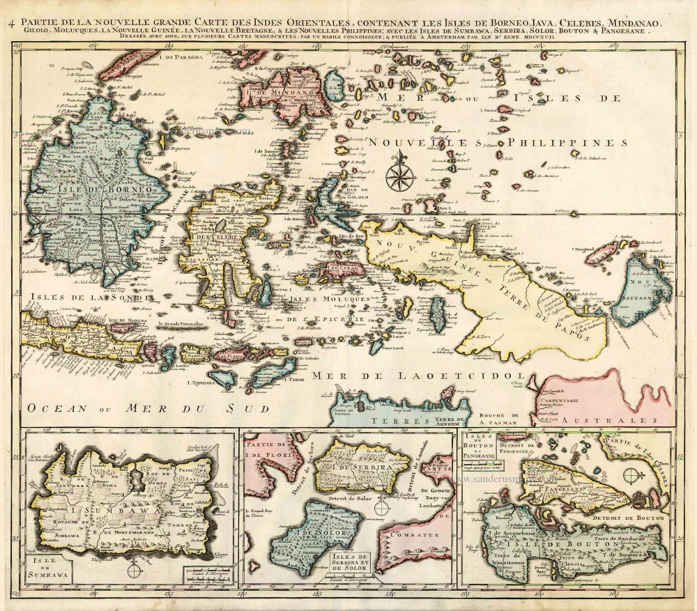
Partie de la Nouvelle Grande Carte des Indes Orientales, Contenant les Isles de Borneo, Iava, Celebes, Mindanao ... 1792
Indonesia - New Guinea - Australia by J.B. Elwe.
[Item number: 2293]

Kaart van de Zuyd-Ooster Eylanden van Banda. 1724-26
The Banda Islands (Southeast) & Northern Australia, by Fr. Valentyn.
[Item number: 26608]
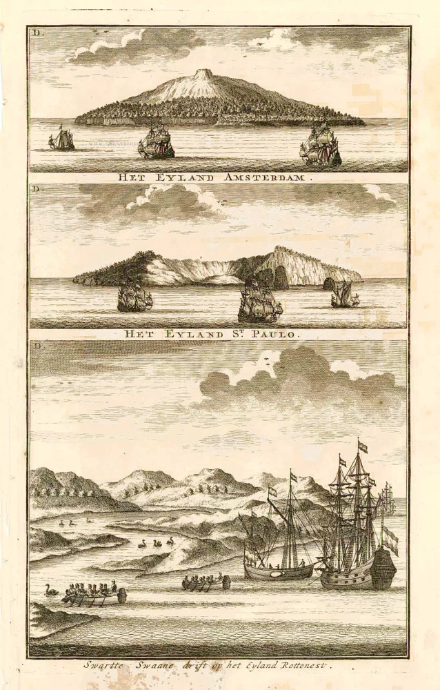
Swarte Swaane drift op het Eyland Rottenest. 1726
View of Australia, by François Valentyn.
[Item number: 27920]

Isole dell'Indie, Divise in Filippine, Molucche, e della Sonda. 1696
Southeast Asia and Northwest Australia by Vincenzo Coronelli.
[Item number: 28670]

Indiae Orientalis nec non Insularum Adiacentium. c. 1691-97
Southeast Asia - Australia by Frederick de Wit.
[Item number: 29091]

Nuova Guinea. 1696
Globe gore with Northern Australia and the East Indies, by V.M. Coronelli.
[Item number: 30785]
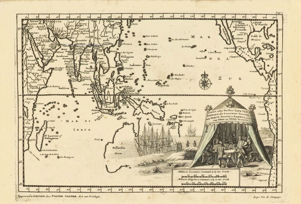
Indien onder den Heer Lopo Vaz de Sampayo, als Gouverneur Generaal tot aan Nieuw-Spanje in Amrica en kusten van Peru en Chili bevaaren. 1707
Southeast Asia and Australia, by Pieter Van der Aa.
[Item number: 32359]