This product is successfully added to your cart
Questions about this product? (#28670)

Authenticity Guarantee
All items are guaranteed authentic prints (woodcuts or engravings) or manuscripts made at or about (c.) the given date and in good condition unless stated otherwise. We don’t sell facsimiles or reproductions. We deliver every map with a Certificate of Authenticity containing all the details.

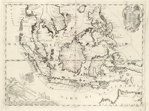
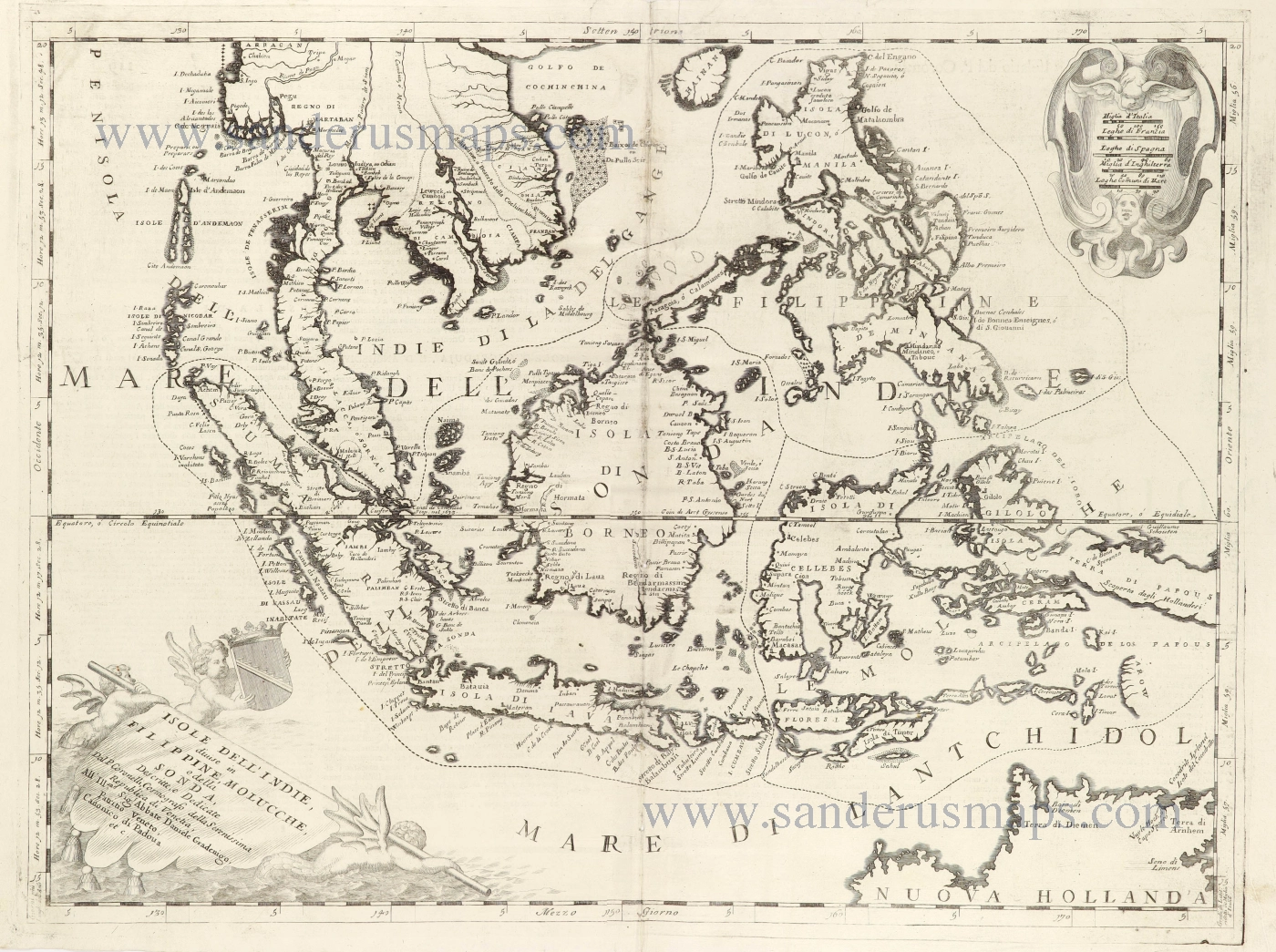
Southeast Asia and Northwest Australia by Vincenzo Coronelli. 1696

Vincenzo Coronelli   (1650-1718)

Vincenzo Coronelli was born in Venice on 16 August 1650 and primarily brought up in Ravenna. He returned to Venice in 1665 and joined the convent of the Minor Conventuals. Five years later, he was sent to Rome to study, and by 1673, he was already a doctor of theology. 

Having achieved fame by constructing two globes for the Duke of Parma, he was invited to Paris for three years in 1681 and made two enormous examples for Louis XIV. On his return to Venice, he assiduously collected cartographic material and founded the Academy of the Argonauts. In 1685, he was appointed Cosmographer to the Republic of Venice and authorised to publish a large atlas. He became a geography lecturer at the University of Venice and brought out an Atlante Veneto the following year.

In 1696, he visited Germany, Holland and southern England. During intervals in compiling his vast encyclopaedia, he continued with cartographic projects up to 1709. He died in his native Venice on 9 December 1718.

Coronelli became famous for his globes. In addition, he was a renowned encyclopaedist, mapmaker and geographer. Most of his maps and other material are gathered in his Atlante Veneto (13 vols, 1690-1705). The first volume, subtitled Descrizione generale istorica geografica, was his masterpiece, planned as an extension of Blaeu’s atlas.

Other volumes of the atlas which contain maps are Isolario, two parts (1696-8), with detailed maps and plans, mostly of islands; Corso geografico, two parts based on the edition 1694-7; Libro de’ globi (1697); and Lo Specchio del Mare, a reprint of Levanto's Lo Specchio del Mare Mediterraneo of 1664.

The other vital aspects of his mapping are those arising from the Venetian conquest and his travels. His most extensive military compilation was the Teatro della Guerra, in more than 30 volumes.

back

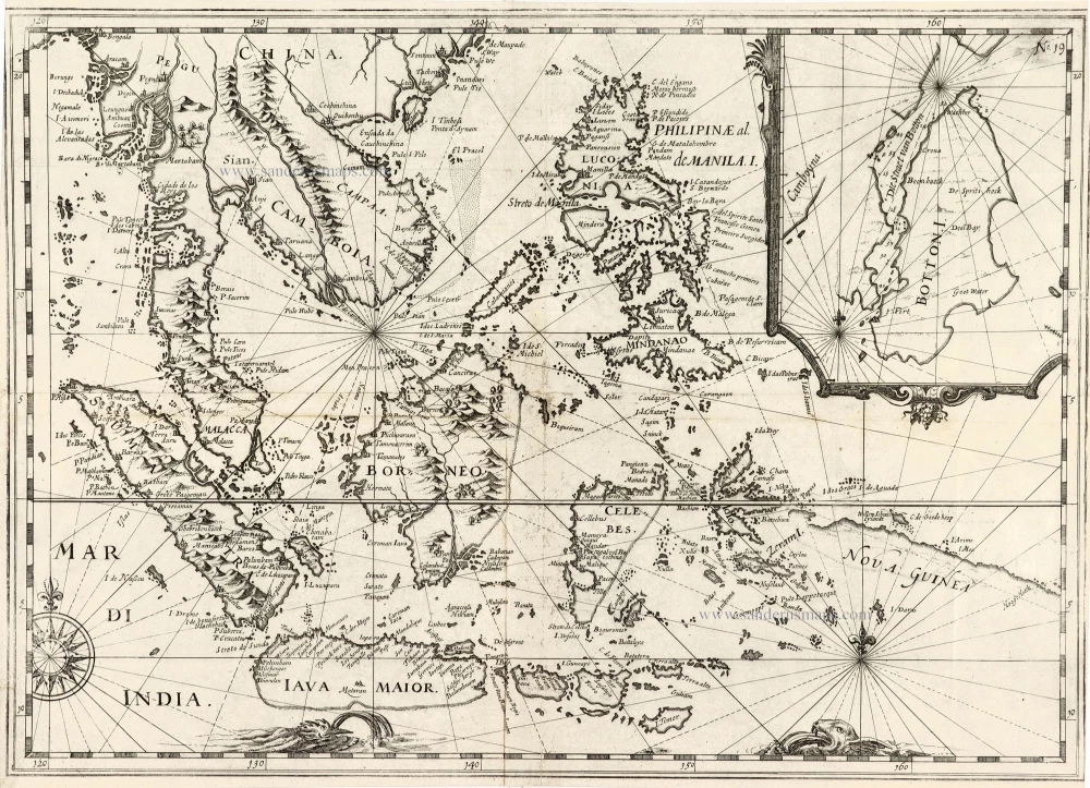
Isole dell'Indie, Divise in Filippine, Molucche, e della Sonda.

€1600  ($1744 / £1344)
add to cart
Buy now
questions?
PRINT

Item Number:  28670 Authenticity Guarantee

Category:  Antique maps > Asia > Southeast Asia

Old, antique map of Southeast Asia, by Vincenzo Coronelli.

Title: Isole dell'Indie, Divise in Filippine, Molucche, e della Sonda.
Descritte, e Dedicate Dal P. Coronelli, Cosmografo della Serenissima Republica di Venetia,
All'Ill.ano Sig: Abbate Daniele Gradenigo, Patritio Veneto, Canonico di Padoua etc.

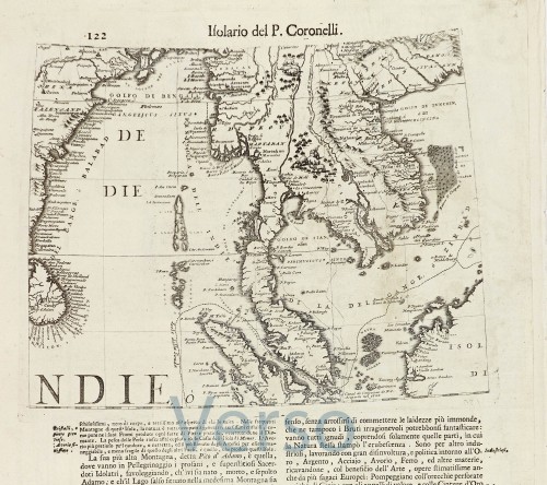
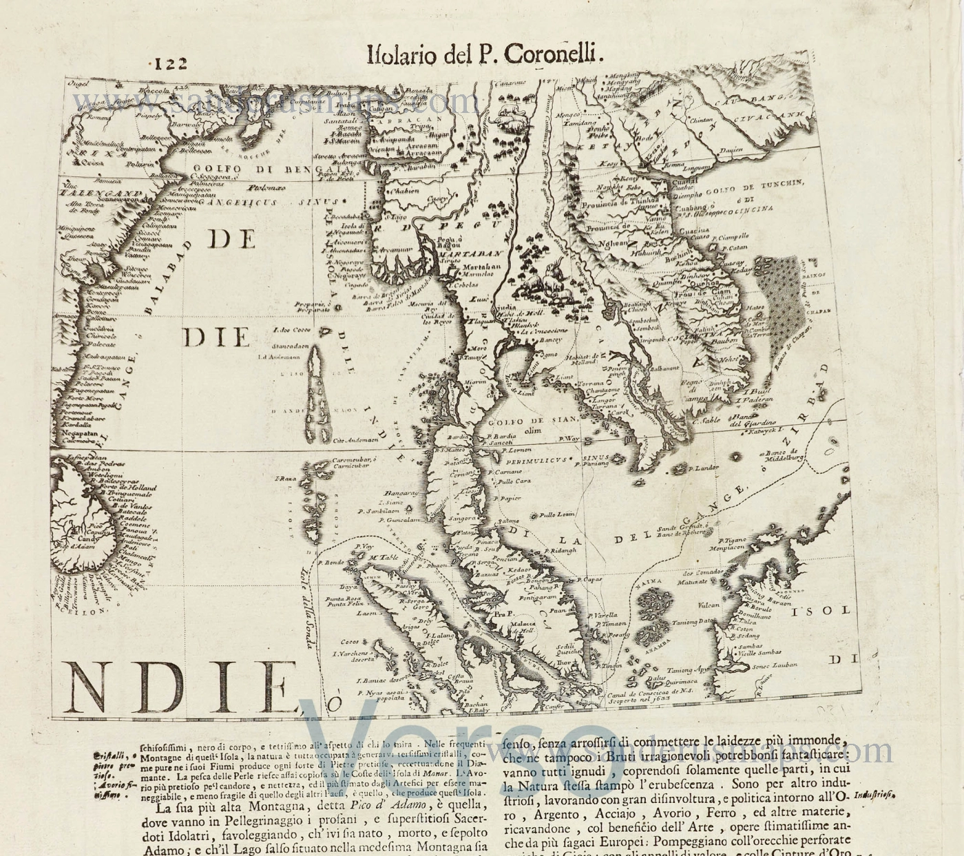
On verso: Gore segment of the Indochinese Peninsula, 22 x 27.5cm.

Date of the first edition: 1696.
Date of this map: 1696.

Copper engraving, printed on paper.
Map size: 450 x 600mm (17.72 x 23.62 inches).
Sheet size: 480 x 700mm (18.9 x 27.56 inches).
Verso: Italian text.
Condition: Excellent.
Condition Rating: A+.

From: Isolario Descrittione Geografico-Historica, Sacro-Profano, Antico-Moderna, Politica, Naturale e Poetica ... di Tutti l'Isole ... Tomo II dell'Atlante Veneto ... del P.Maestro Vincenzo Coronelli ... A'Spese dell'Autore MDCLXXXXVI. (Shirley (Brit.Lib), T.CORO-13a)

Vincenzo Coronelli   (1650-1718)

Vincenzo Coronelli was born in Venice on 16 August 1650 and primarily brought up in Ravenna. He returned to Venice in 1665 and joined the convent of the Minor Conventuals. Five years later, he was sent to Rome to study, and by 1673, he was already a doctor of theology. 

Having achieved fame by constructing two globes for the Duke of Parma, he was invited to Paris for three years in 1681 and made two enormous examples for Louis XIV. On his return to Venice, he assiduously collected cartographic material and founded the Academy of the Argonauts. In 1685, he was appointed Cosmographer to the Republic of Venice and authorised to publish a large atlas. He became a geography lecturer at the University of Venice and brought out an Atlante Veneto the following year.

In 1696, he visited Germany, Holland and southern England. During intervals in compiling his vast encyclopaedia, he continued with cartographic projects up to 1709. He died in his native Venice on 9 December 1718.

Coronelli became famous for his globes. In addition, he was a renowned encyclopaedist, mapmaker and geographer. Most of his maps and other material are gathered in his Atlante Veneto (13 vols, 1690-1705). The first volume, subtitled Descrizione generale istorica geografica, was his masterpiece, planned as an extension of Blaeu’s atlas.

Other volumes of the atlas which contain maps are Isolario, two parts (1696-8), with detailed maps and plans, mostly of islands; Corso geografico, two parts based on the edition 1694-7; Libro de’ globi (1697); and Lo Specchio del Mare, a reprint of Levanto's Lo Specchio del Mare Mediterraneo of 1664.

The other vital aspects of his mapping are those arising from the Venetian conquest and his travels. His most extensive military compilation was the Teatro della Guerra, in more than 30 volumes.
References: Shirley (Brit.Lib.) - I p. 434, T.CORO-13A, 197

Related items

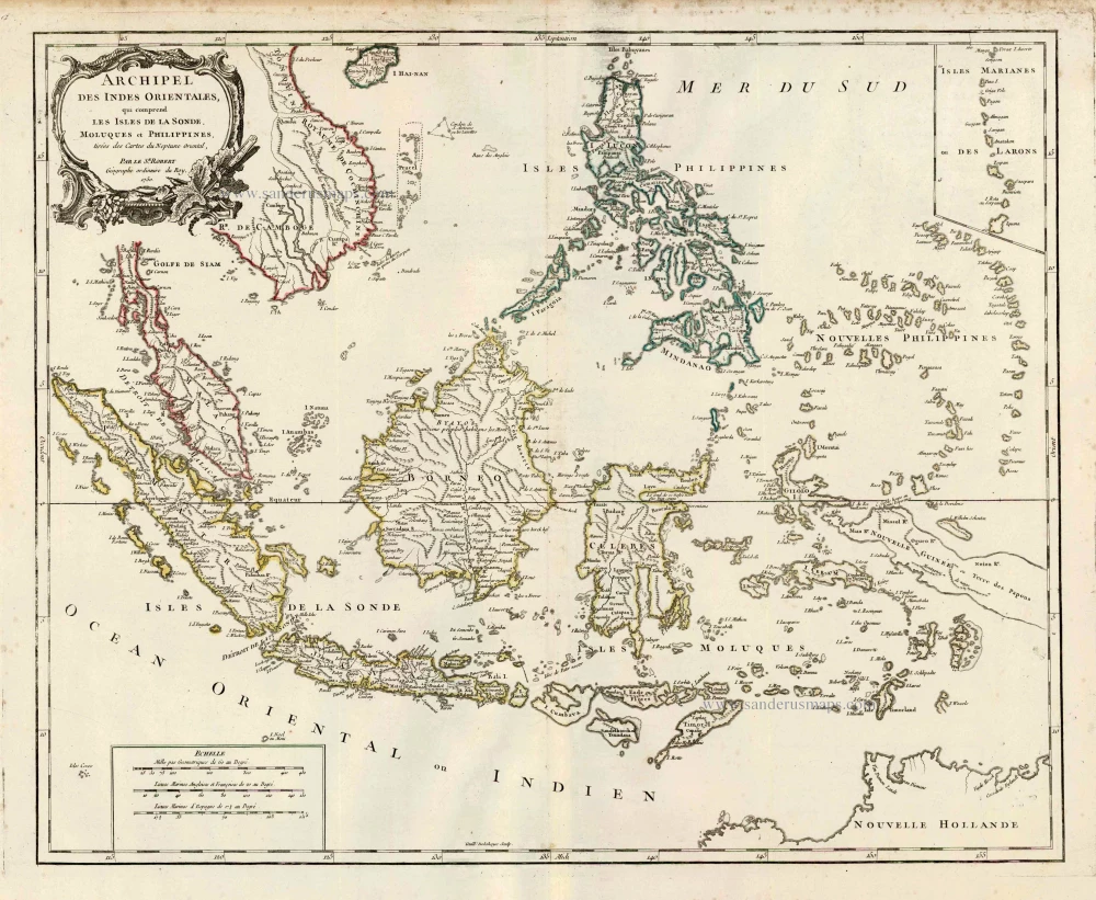
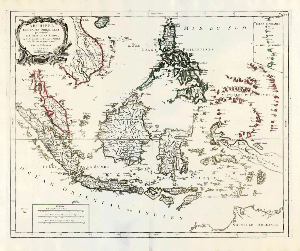
Southeast Asia, par Robert de Vaugondy.

Archipel des Indes Orientales qui Comprend les Isles de la Sonde, Moluques et Philippines. c. 1757
Southeast Asia, par Robert de Vaugondy.
[Item number: 4751]

€500  ($545 / £420)
Southeast Asia by Janssonius, Johannes

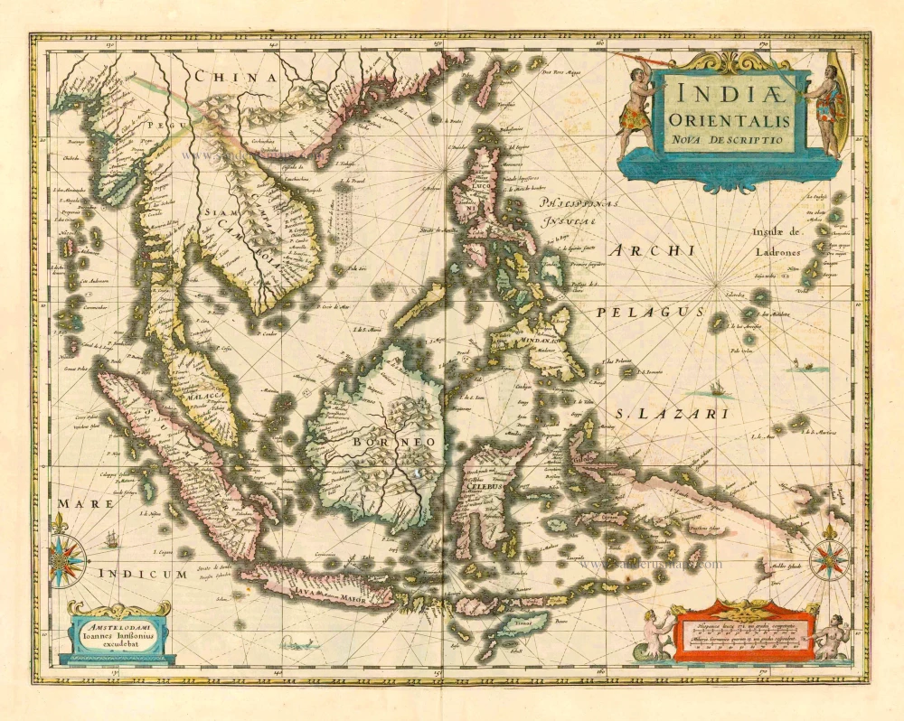
The most accurate and one of the most elegant seventeenth-century maps of the East Indies
Indiae Orientalis Nova Descriptio. 1644-58
Southeast Asia by Janssonius, Johannes
[Item number: 10013]

€950  ($1035.5 / £798)
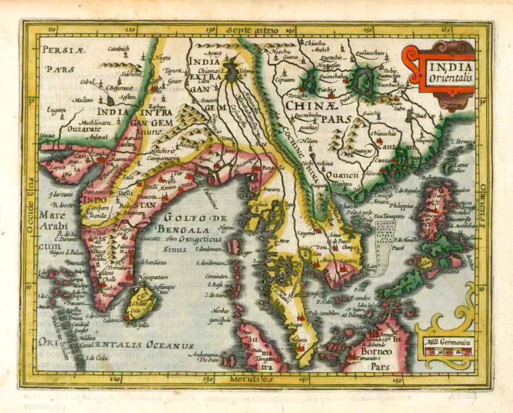
Southeast Asia, by G. Mercator - J. Hondius (small)

India Orientalis. 1607
Southeast Asia, by G. Mercator - J. Hondius (small)
[Item number: 25186]

€280  ($305.2 / £235.2)
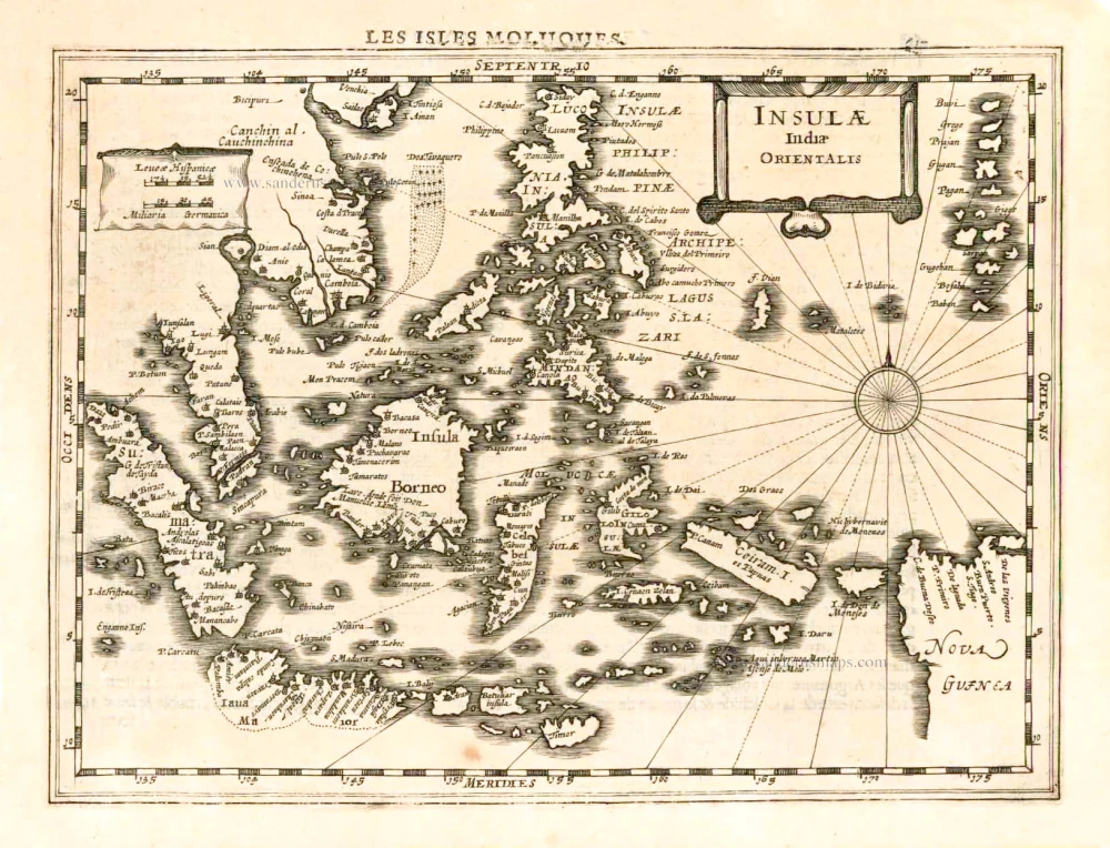
Southeast Asia, by G. Mercator - J. Hondius.

From the Cloppenburg edition
Insulae Indiae Orientalis. 1630
Southeast Asia, by G. Mercator - J. Hondius.
[Item number: 25234]

€400  ($436 / £336)
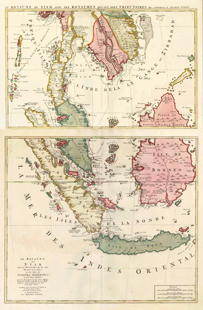
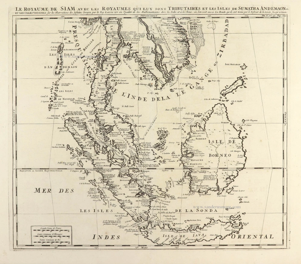
Southeast Asia, by J. Ottens.

Le Royaume de Siam avec les Royaumes qui luy sont Tributaires, et les Isles de Sumatra, Andemaon, etc. et les Isles Voisine. c. 1700
Southeast Asia, by J. Ottens.
[Item number: 25716]

€1600  ($1744 / £1344)
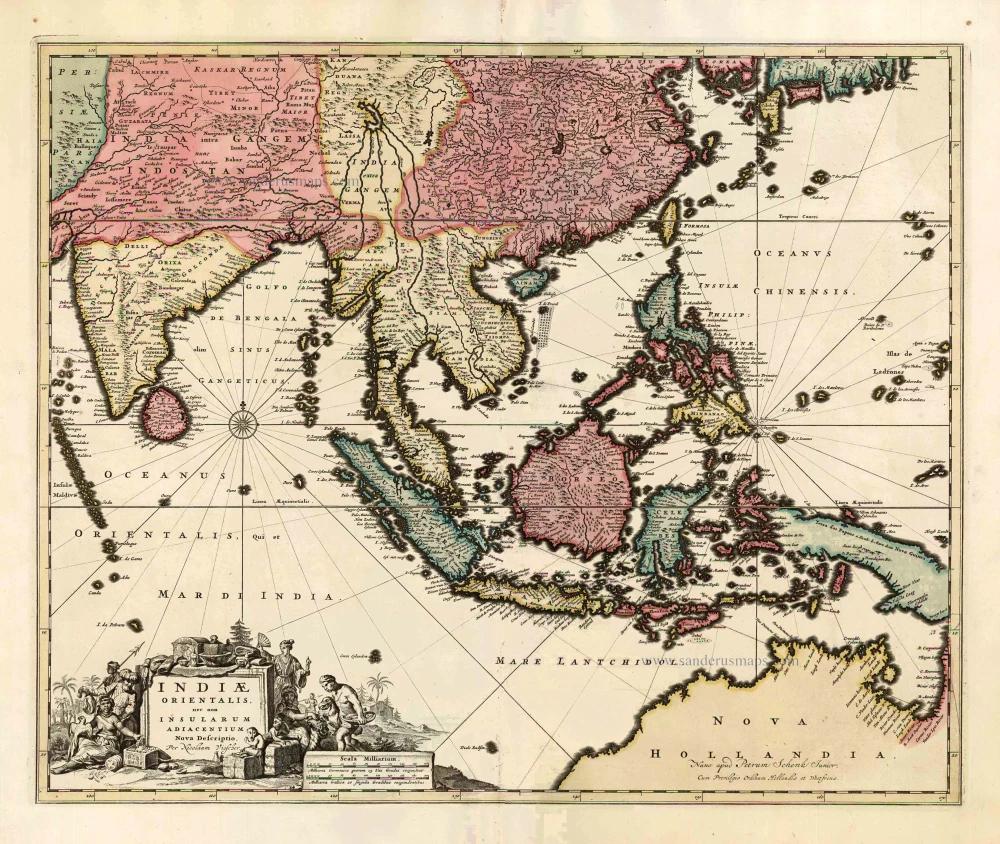
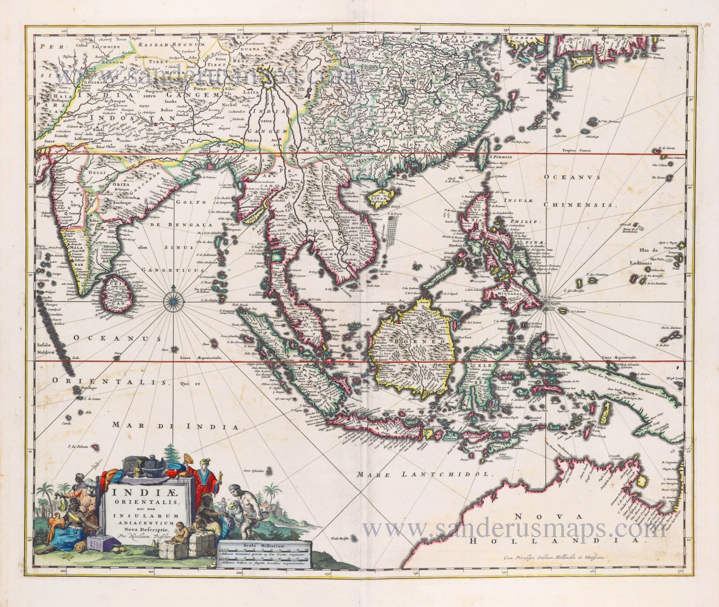
Southeast Asia by Nicolaes Visscher, published by Petrus Schenk.

Indiae Orientalis nec non Insularum Adiacentium Nova Descriptio. c. 1740
Southeast Asia by Nicolaes Visscher, published by Petrus Schenk.
[Item number: 25718]

€1200  ($1308 / £1008)
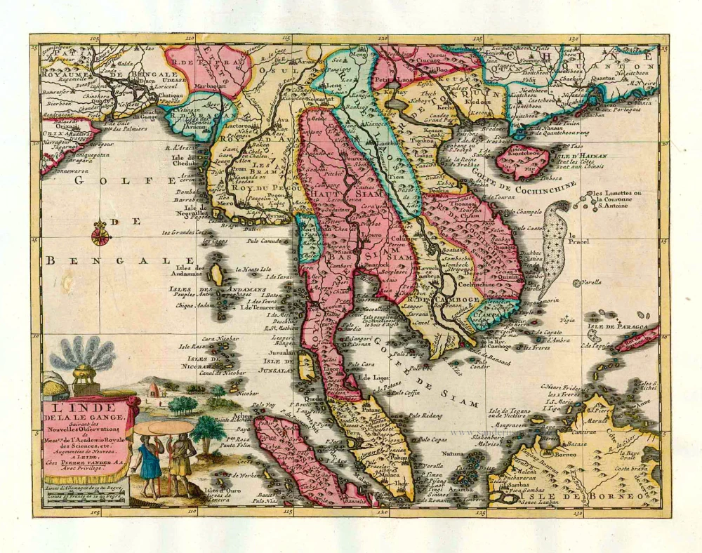
Southeast Asia, by Pieter van der Aa.

L'Inde de la le Gange, 1713
Southeast Asia, by Pieter van der Aa.
[Item number: 26097]

€650  ($708.5 / £546)
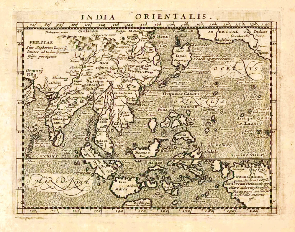
Southeast Asia, by Giovanni Magini.

India Orientalis. 1597
Southeast Asia, by Giovanni Magini.
[Item number: 26521]

€380  ($414.2 / £319.2)
Southeast Asia, by Francesco Santini.

Archipel des Indes Orientales qui comprend les Isles de la Sonde, Moluques et Philippines. 1776-79
Southeast Asia, by Francesco Santini.
[Item number: 26977]

€450  ($490.5 / £378)
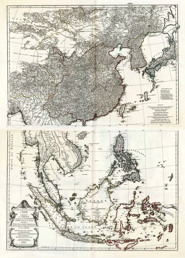
Southeast Asia, by J.B. d'Anville.

Seconde Partie de la Carte d'Asie Contenant la Chine et Partie de la Tartarie, l'Inde au Deca du Gange, les Isles Sumatra, Java, Borneo, Moluques, Philippines, et du Japo 1746-53
Southeast Asia, by J.B. d'Anville.
[Item number: 27401]

€1600  ($1744 / £1344)
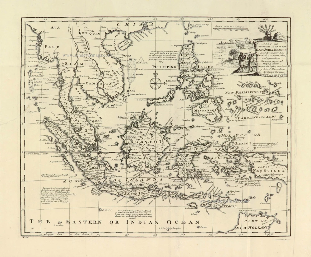
Southeast Asia, by Emanuel Bowen.

A New and Accurate Map of the East India Islands. 1747
Southeast Asia, by Emanuel Bowen.
[Item number: 28012]

€380  ($414.2 / £319.2)
Southeast Asia, by Abraham Ortelius.

A very important map of the region
Indiae Orientalis Insularumque Adiacientium Typus. 1572
Southeast Asia, by Abraham Ortelius.
[Item number: 28046]

€2000  ($2180 / £1680)
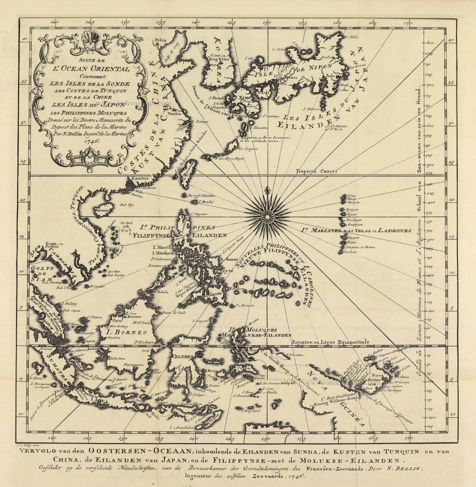
Southeast Asia by Jacques Nicolas Bellin.

Suite de L'Ocean Oriental Contenant Les Isles de la Sonde Les Costes de Tunquin et de la Chine Les Isles du Japon les Philippines Moluques. 1747
Southeast Asia by Jacques Nicolas Bellin.
[Item number: 28189]

€250  ($272.5 / £210)
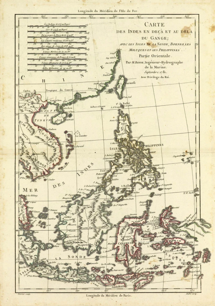
Southeast Asia by Rigobert Bonne.

Carte des Indes en deçà et au dela du Gange; avec les Isles de la Sonde, Borneo, les Moluques et les Philippines. Partie Orientale. 1690
Southeast Asia by Rigobert Bonne.
[Item number: 28304]

€260  ($283.4 / £218.4)
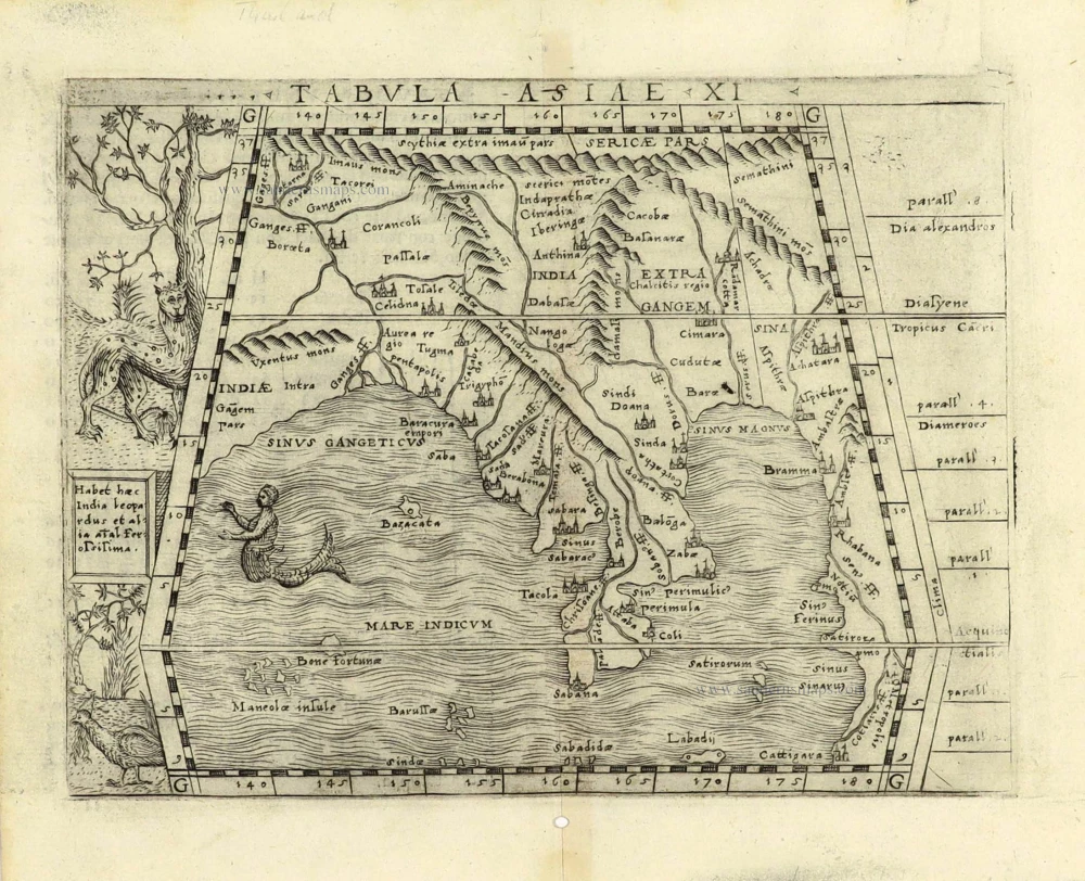
Southeast Asia by Giacomo Gastaldi / Ptolemy.

Scarce
Tabula Asiae XI. 1548
Southeast Asia by Giacomo Gastaldi / Ptolemy.
[Item number: 28362]

€550  ($599.5 / £462)
Southeast Asia by Nicolaes Visscher I.

Indiae Orientalis nec non Insularum Adiacentium Nova Descriptio. 1678
Southeast Asia by Nicolaes Visscher I.
[Item number: 28555]

€1650  ($1798.5 / £1386)
Antique map of Southeast Asia by Châtelain

Le Royaume de Siam avec les Royaumes qui luy sont Tributaires et les Isles de Sumatra Andemaon etc. et les isles voisines. 1719
Antique map of Southeast Asia by Châtelain
[Item number: 29372]

€580  ($632.2 / £487.2)
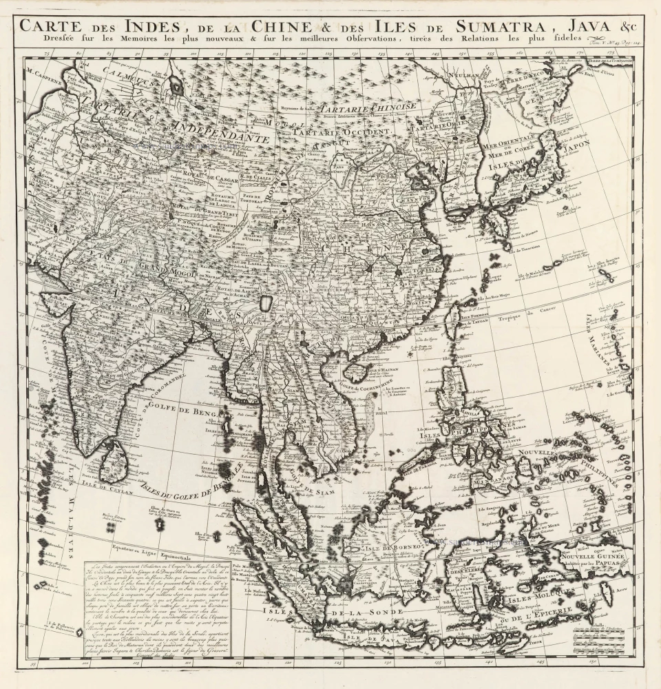
Southeast Asia, by Z. Châtelain.

Carte des Indes, de la Chine & des Iles de Sumatra, Java &c. 1719
Southeast Asia, by Z. Châtelain.
[Item number: 29376]

€650  ($708.5 / £546)
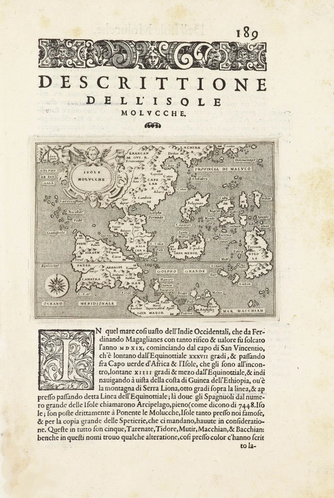
Southeast Asia by Tommaso Porcacchi.

Isole Molucche.- [Above map :] Descrittione del l'Isole Molucche. 1590
Southeast Asia by Tommaso Porcacchi.
[Item number: 29788]

€600  ($654 / £504)
East Indian Archipelago by Jodocus Hondius.

The most elegant and decorative map of the region
Insulae Indiae Orientalis Praecipuae, in quibus Moluccae celeberrimae sunt. 1630
East Indian Archipelago by Jodocus Hondius.
[Item number: 29863]

€3900  ($4251 / £3276)
Southeast Asia by Henricus Hondius, published by Johannes Janssonius.

With luxury colouring
India quae Orientalis dicitur et Insulae Adiacentes. 1666
Southeast Asia by Henricus Hondius, published by Johannes Janssonius.
[Item number: 29973]

€1400  ($1526 / £1176)
East Indies by van Spilbergen Joris.

Rare
[No title] - 'Mar di India'. 1645
East Indies by van Spilbergen Joris.
[Item number: 30057]

€2200  ($2398 / £1848)
South Asia by Lorens Fries

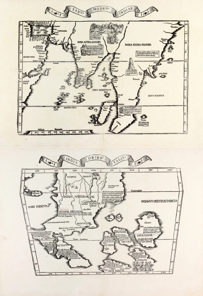
Two early modern maps of Southeast Asia by L. Fries and M. Waldseemüller
Tabu. Moder. Indiae [together with] India Orien talis. 1535
South Asia by Lorens Fries
[Item number: 30141]

€5000  ($5450 / £4200)
Southeast Asia by Janssonius, Johannes

The most accurate and one of the most elegant seventeenth-century maps of the East Indies
Indiae Orientalis Nova Descriptio. c. 1630-1650
Southeast Asia by Janssonius, Johannes
[Item number: 30855]

€950  ($1035.5 / £798)
Map of New Zealand by James Cook.

Carte de la Nlle-Zelande visitée en 1769 et 1770 par le Lieutenant J. Cook. 1774
Map of New Zealand by James Cook.
[Item number: 31053]  new

€1750  ($1907.5 / £1470)
Entrance of the Endeavour River and Botany Bay on Australia's east coast, by J.S. Stavorinus.

Mond van de Endeavour Rivier in Nieuw Zuid Wales [on sheet with] Botanie Baai in Nieuw Zuid Wales. 1793
Entrance of the Endeavour River and Botany Bay on Australia's east coast, by J.S. Stavorinus.
[Item number: 31054]  new

€250  ($272.5 / £210)