
Rare chart showing the route taken by Schouten and le Maire from South America to New Guinea, by Michiel Colijn. 1622
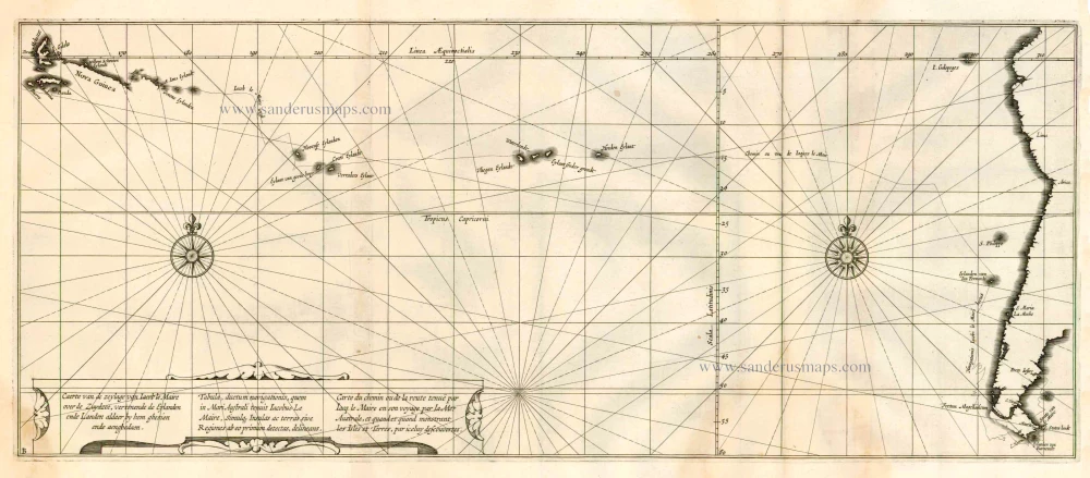
The expedition undertaken by Schouten and Le Maire was equipped in 1615 by Le Maire's father for the Australische Compagnie. This company attempted to circumvent the VOC patent by finding another route to Indonesia. Schouten and Le Maire succeeded in their quest by sailing around Vuurland instead of through the Magellan Straits. But despite their discovery of a new route, their expedition was not very successful. When they arrived in Batavia, their story was not believed and their remaining vessel, the Eendracht, was confiscated along with its cargo.
Caerte van de zeylage van Jacob le Maire over de Zuydzee, vertonende de Eylanden ende Landen aldaer by hem ghesien ende aenghedaen. / Tabula, ductum navigationis, quem in Mari Australi tenuit Iacobus Le Maire ...
Item Number: 25104 Authenticity Guarantee
Category: Antique maps > Australia
Old, antique map - very rare chart published by Michiel Colijn showing the route taken by Schouten and le Maire from South America to New Guinea.
Title in Dutch, Latin and French.
Copper engraving, printed on two sheets, joined.
Size: 22 x 53cm (8.6 x 20.7 inches)
Verso: Blank
Condition: Light brown stain at bottom right.
Condition Rating: A
References: Schilder 7, p.302.
From: Spieghel der Australische Navigatie. Door den Wijt vermaerden ende cloeckmoedighen Zee-heldt Iacob Le Maire, President ende Overste over de twee Schepen, d'Eendracht end Hoorn / uytghevaren den 14. Junij 1615. Amsterdam, Michiel Colijn, 1622.
The expedition undertaken by Schouten and Le Maire was equipped in 1615 by Le Maire's father for the Australische Compagnie. This company attempted to circumvent the VOC patent by finding another route to Indonesia. Schouten and Le Maire succeeded in their quest by sailing around Vuurland instead of through the Magellan Straits. But despite their discovery of a new route, their expedition was not very successful. When they arrived in Batavia, their story was not believed and their remaining vessel, the Eendracht, was confiscated along with its cargo.
Related items

Caerte vande Landen vande Papouas ofte Nova Guinea nae de beseijlinge en ondecking van Iacob le Maire gedaen in den Iare 1616. / Tabula exhibens Papouarum seu Nova Guineae Regones ... / Cartes des Terres de Papouas ou de Guinee Neuve ... 1622
Chart of the route of Schouten and Le Maire north of New Guinea, and the Moluccas, by A. de Herrera, published by M. Colijn.
[Item number: 4165]

Carte de l'Ocean Pacifique au Nord de l'Equateur, et des Cotes qui le Bornent des Deux Cotes: D'Apres les Dernieres Decouvertes Faites par les Espagnols, les Russes et les Anglois, jusqu'en 1780. 1780
The Northern Pacific Ocean, by T.C. Lotter.
[Item number: 11984]

Heightened in gold
Carte de la Mer d'Allemagne ... 1693
The North Sea by P. Mortier.
[Item number: 15485]
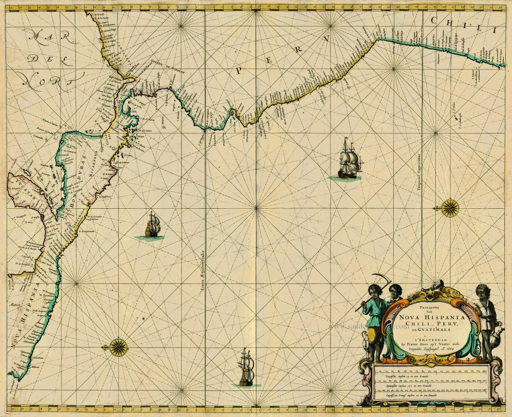
Pascaerte van Nova Hispania Chili, Peru, en Guatimala 1667
Central America, by Pieter Goos.
[Item number: 19031]

Provinciae Sitae ad Fretum Magallanis itemque Fretum le Maire. 1630
Magellan Straits & Tierra Del Fuego, by Johannes de Laet.
[Item number: 25391]

Carte du Paraguai, du Chili, du Detroit de Magellan &c. 1719
Southern South America, by Zacharias Châtelain.
[Item number: 29361]
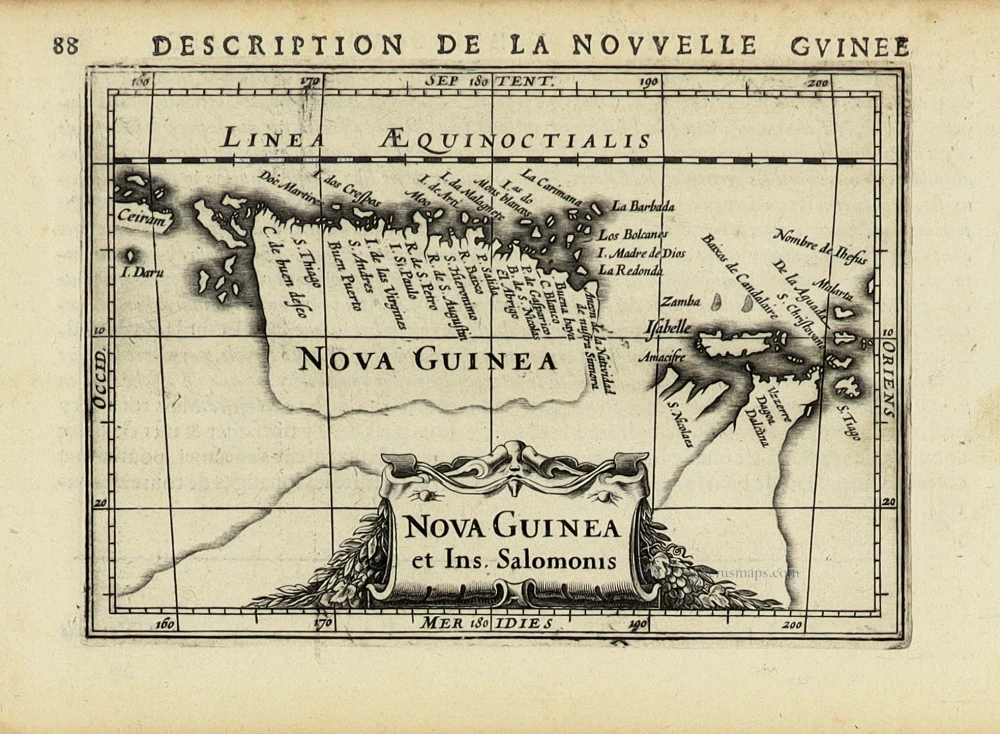
Nova Guinea et Ins. Salomonis. 1618
New Guinea by Petrus Bertius, published by Jodocus Hondius II.
[Item number: 31528]