
Southern South America, by Zacharias Châtelain. 1719

This map shows the routes of Vespucci in 1502, Magellan in 1520, Sarmiento in 1589, de la Roche in 1675, and Halley in 1700.
The Châtelain Family
Zacharias Châtelain (1684-1743) was a bookseller and publisher of Amsterdam. He was succeeded by his sons Zacharias jr and Henry Abraham. The Châtelain family was best known for the historical atlas Atlas Historique, ou nouvelle introduction à l’histoire…, a major work of its time. It was an encyclopaedia in seven volumes, including geography as one of its main subjects. The atlas was published in Amsterdam in seven volumes in various editions with different imprints from 1705 to 1739. An anonym person (Mr. C***) compiled the work with compositions of text, maps, plates and chronological and genealogical tables by Gueudeville, except volume 7, where H.P. Limiers took over this task. The maps were made mainly after the work of Guillaume de l'Isle.
The 1705 edition was published with the imprint “L’Honoré & Châtelain”. Later editions had the imprint: “les Frères Châtelain Libraires” or “L’Honoré & Châtelain Libraires”.
Carte du Paraguai, du Chili, du Detroit de Magellan &c.
Item Number: 29361 Authenticity Guarantee
Category: Antique maps > America > South America
Old, antique map of Southern South America by Zacharias Châtelain.
Title: Carte du Paraguai, du Chili, du Detroit de Magellan &c.
Dressée sur les Mémoires les plus Nouveaux & les observations les plus exactes.
Tom. VI. N°33. Pag. 135.
Date of the first edition: 1719.
Date of this map: 1719.
Copper engraving, printed on paper.
Map size: 405 x 520mm (15.94 x 20.47 inches).
Sheet size: 440 x 545mm (17.32 x 21.46 inches).
Verso: Blank.
Condition: Excellent.
Condition Rating: A+.
From: Châtelain Z. Atlas Historique, ou Nouvelle Introduction A l'Histoire, à la Chronologie & à la Geographie Ancienne & Moderne; ... Tome VI. Qui comprend l'Afrique & l'Amerique Septentrionale & Meridionale, ... A Amsterdam, Chez L'Honoré & Châtelain Libraires, M.DCC.XIX. (1719). (Koeman II, p. 37, Cha7)
This map shows the routes of Vespucci in 1502, Magellan in 1520, Sarmiento in 1589, de la Roche in 1675, and Halley in 1700.
The Châtelain Family
Zacharias Châtelain (1684-1743) was a bookseller and publisher of Amsterdam. He was succeeded by his sons Zacharias jr and Henry Abraham. The Châtelain family was best known for the historical atlas Atlas Historique, ou nouvelle introduction à l’histoire…, a major work of its time. It was an encyclopaedia in seven volumes, including geography as one of its main subjects. The atlas was published in Amsterdam in seven volumes in various editions with different imprints from 1705 to 1739. An anonym person (Mr. C***) compiled the work with compositions of text, maps, plates and chronological and genealogical tables by Gueudeville, except volume 7, where H.P. Limiers took over this task. The maps were made mainly after the work of Guillaume de l'Isle.
The 1705 edition was published with the imprint “L’Honoré & Châtelain”. Later editions had the imprint: “les Frères Châtelain Libraires” or “L’Honoré & Châtelain Libraires”.
Related items
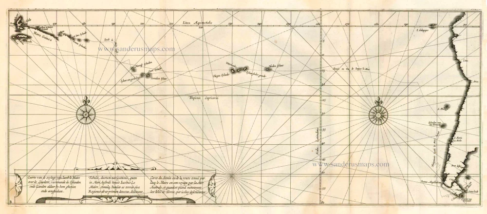
Caerte van de zeylage van Jacob le Maire over de Zuydzee, vertonende de Eylanden ende Landen aldaer by hem ghesien ende aenghedaen. / Tabula, ductum navigationis, quem in Mari Australi tenuit Iacobus Le Maire ... 1622
Rare chart showing the route taken by Schouten and le Maire from South America to New Guinea, by Michiel Colijn.
[Item number: 25104]

Important and rare map
Brasilia et Peruvia ... 1593
South America, by Cornelis de Jode.
[Item number: 25240]

La Terre et les Isles Magellaniques. 1670
Southern South America with the Straits of Magellan, by Guillaume Sanson.
[Item number: 28510]

L'Amerique Meridionale Divisee en ses Principales Parties. [Above map:] America Meridionalis in suas Praecipuas Partes Accurate Divisa, ad Usum Serenissimi Burgundiae Ducis. c. 1691-97
South America, by Hubert Jaillot.
[Item number: 29153]

Tractus Australior Americae Meridionalis, a Rio del a Plata per Fretum Magellanicum ad Toraltum. = Nieuwe Perfecte Pascaert van 't Suyderlyckste deel van Suyt America. van Rio de la Plata door de straet Magellaen tot Toral. c. 1690-91
Sea chart of the Southern Coasts of South America, by Frederick de Wit.
[Item number: 29239]

L' America Meridionale. 1677
South America by Nicolas Sanson, published by Giovanni de Rossi.
[Item number: 32897]