
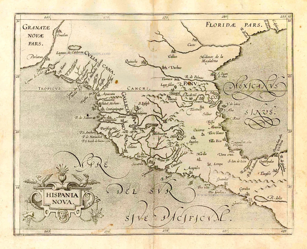
Mexico - Central America, by J. de Laet. 1630
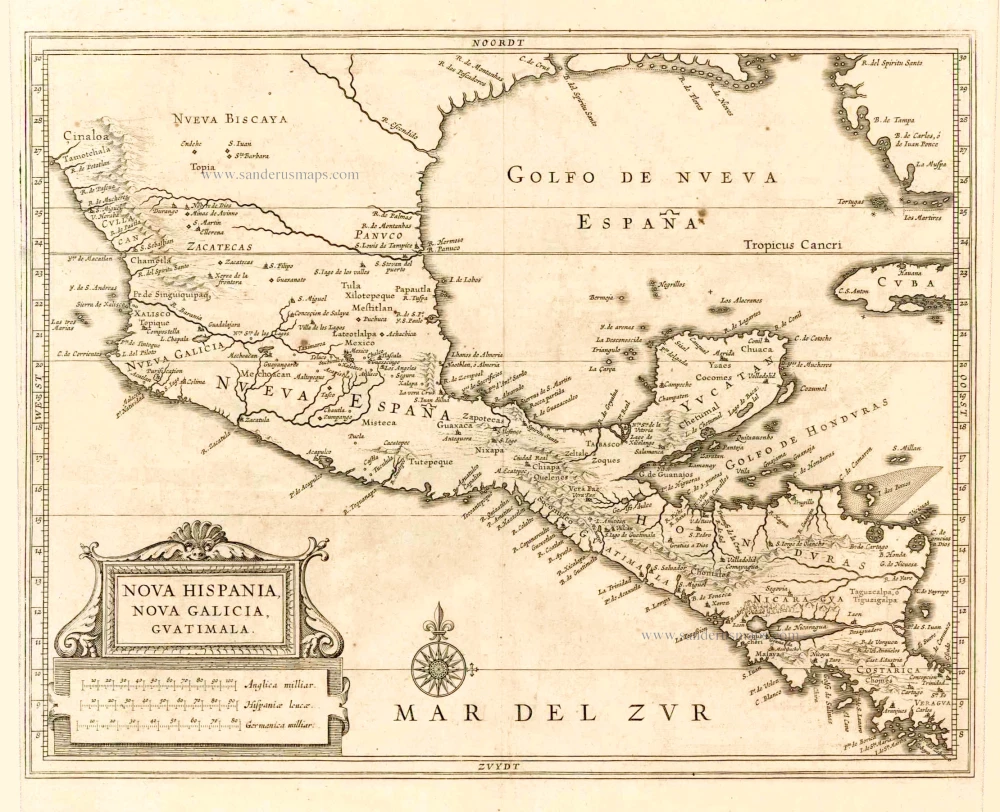
Considerable effort went into making the text and maps of this work the most accurate available at the time. As a result, it is arguably the finest description of the Americas published in the seventeenth century. The exhaustive research involved de Laet reading all the printed and manuscript material he could find. He had much to call on for the cartographic work, being a director of the recently formed Dutch West India Company in charge of all Dutch interests in America and Africa. He, therefore, had access to the latest geographic knowledge. He also drew upon the fine talents of Hessel Gerritsz, the official cartographer to the Dutch East India Company since 1617. This was a post he attained before Willem Blaeu, under whom he was apprenticed and who was his senior by ten years.
The maps were some of the first to depart from the heavier style of the Mercator and Ortelius period. This more open engraving style was one that both Blaeu and Janssonius would develop in their atlases. The book's first edition in 1625 contained ten maps which concentrated on South America. Since then, the Dutch had taken considerable interest in New Amsterdam (New York), and the work was expanded by some 100 pages and four newly engraved maps.
Although many maps had been produced of New Spain, few extended north into present-day Texas; the Rio Grande is still named the R. de Palmas. The B. del Spiritu Santo possibly represents the Mississippi River. Some authorities have questioned this usual assumption. On the west coast of Florida, we find the landing place of Juan Ponce de León. The delineation of the coastlines, particularly the Gulf of Mexico and the northwest coast of Mexico, was the most accurate. (Burden)
Nova Hispania, Nova Galicia, Guatimala.
Item Number: 2730 Authenticity Guarantee
Category: Antique maps > America > North America
Old, antique map of Mexico - Central America by J. de Laet.
Cartographer: Hessel Gerritsz
Date of the first edition: 1625
Date of this map: 1630
Copper engraving
Size (not including margins): 28 x 36cm (10.9 x 14 inches)
Verso: Blank
Condition: Excellent.
Condition Rating: A+
References: Burden, 215.
From: Beschrijvinghe van West-Indien. Leiden, 1630.
Considerable effort went into making the text and maps of this work the most accurate available at the time. As a result, it is arguably the finest description of the Americas published in the seventeenth century. The exhaustive research involved de Laet reading all the printed and manuscript material he could find. He had much to call on for the cartographic work, being a director of the recently formed Dutch West India Company in charge of all Dutch interests in America and Africa. He, therefore, had access to the latest geographic knowledge. He also drew upon the fine talents of Hessel Gerritsz, the official cartographer to the Dutch East India Company since 1617. This was a post he attained before Willem Blaeu, under whom he was apprenticed and who was his senior by ten years.
The maps were some of the first to depart from the heavier style of the Mercator and Ortelius period. This more open engraving style was one that both Blaeu and Janssonius would develop in their atlases. The book's first edition in 1625 contained ten maps which concentrated on South America. Since then, the Dutch had taken considerable interest in New Amsterdam (New York), and the work was expanded by some 100 pages and four newly engraved maps.
Although many maps had been produced of New Spain, few extended north into present-day Texas; the Rio Grande is still named the R. de Palmas. The B. del Spiritu Santo possibly represents the Mississippi River. Some authorities have questioned this usual assumption. On the west coast of Florida, we find the landing place of Juan Ponce de León. The delineation of the coastlines, particularly the Gulf of Mexico and the northwest coast of Mexico, was the most accurate. (Burden)
Related items
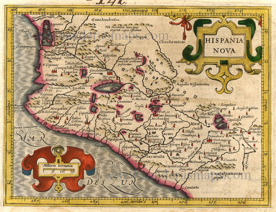
Hispania Nova. 1607
New Spain (Mexico) by G. Mercator.
[Item number: 362]

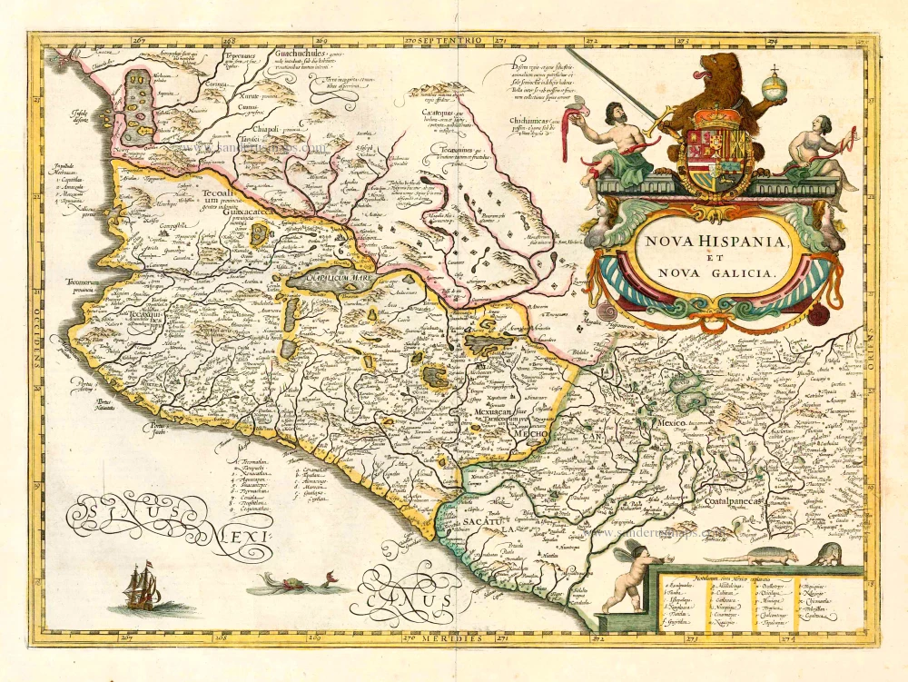
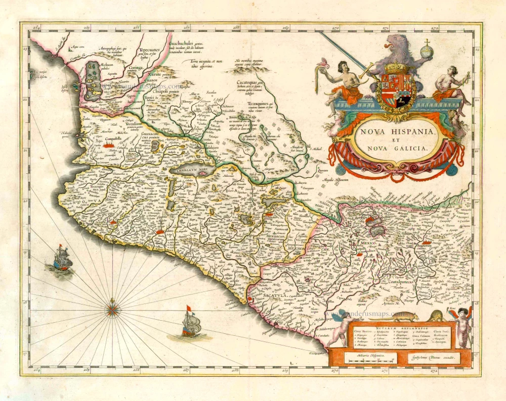
Nova Hispania, Et Nova Galicia. 1633
New Spain (Mexico) by J. Janssonius.
[Item number: 7787]
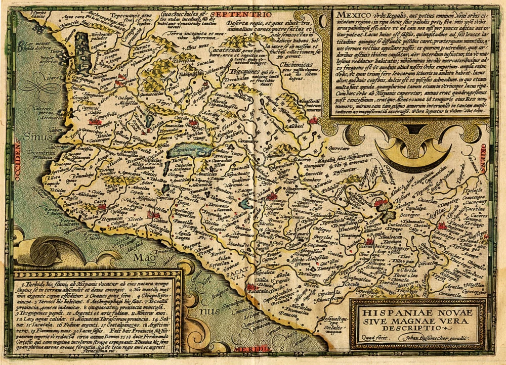
Hispaniae Novae sive Magnae Vera Descriptio. 1608
Mexico, by Quad M.-Bussemacher J.
[Item number: 15869]
Nova Hispania et Nova Galicia. 1641
New Spain (Mexico), by Johannes Janssonius.
[Item number: 26463]
Hispania Nova. 1607
Mexico, by C. van Wytfliet.
[Item number: 26501]
Nova Hispania et Nova Galicia. 1643-50
New Spain (West Mexico), by Willem & Joan Blaeu.
[Item number: 26738]

Haven van Aquapulco in 't Coninkryk van Nova Spagnien in de Zuyd Zee. 1724-26
Acapulco, by François Valentyn (Valentijn).
[Item number: 26873]