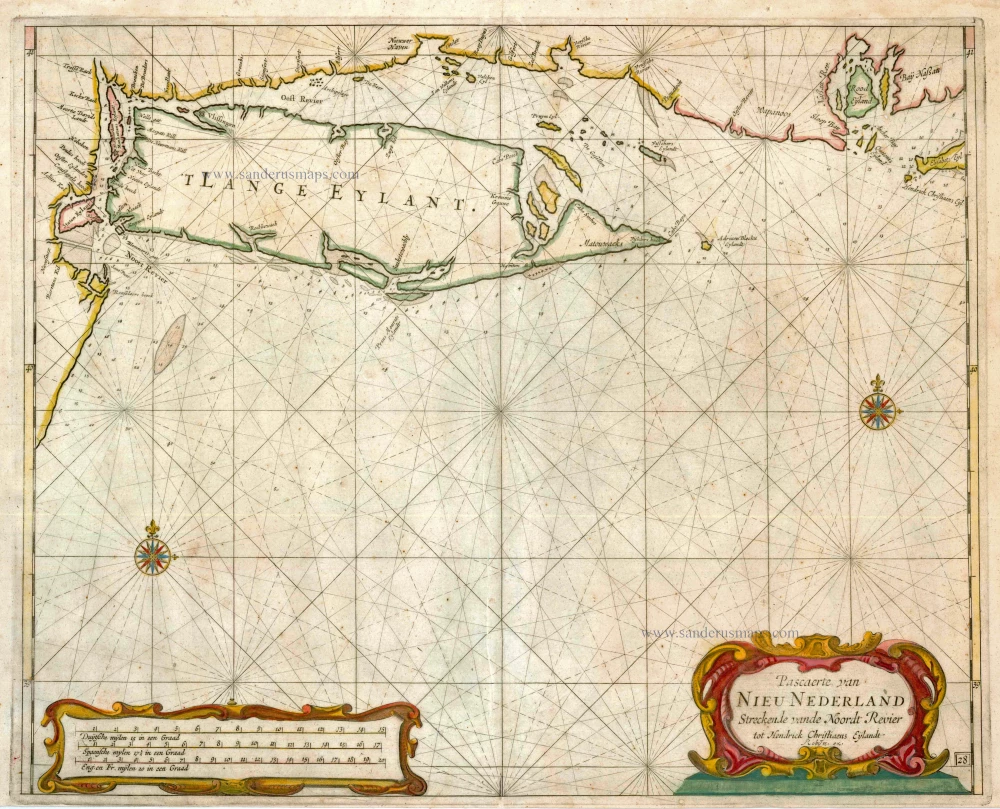
Old, antique map - sea chart of North America (Northeast) by A.Roggeveen. 1675
Pascaerte van Nieu Nederland Streckende vande Noordt Revier tot Hendrick Christiaens Eÿlandt.
Item Number: 2186 Authenticity Guarantee
Category: Antique maps > America > North America
Old, antique map - sea chart of North America (Northeast) by A. Roggeveen.
Date of the first edition: 1675
Date of this map: c. 1680
Copper engraving
Size: 44 x 54cm (17.2 x 21.1 inches)
Condition: Hand coloured, very thin printer's crease, a few small wormholes.
Condition Rating: A
References: Burden II, 449, State 2 (Bearing the imprint of Robyn).
One of the much larger scale charts included in Arent Roggeveen's Het Brandende Veen. This is the first sea chart of Long Island and the only Dutch one and it is of legendary rarity on the open market. The map in terms of nomenclature is out of date, bearing old Dutch names.
The Het Brandende Veen provides a unique insight into the archives of one of the most influential companies in the early history of America. Through the work of Roggeveen, much of the invaluable charting of the Dutch West India Company has been saved. It is the first maritime atlas devoted to the Americas.

