
Old, antique map - Sea chart of the Gulf of Mexico by J. Van Keulen 1697-1709
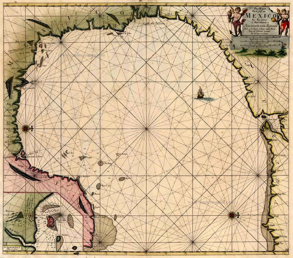
"This map covers the coastline from the panhandle of present day Florida around to the Yucatan peninsula. The main feature of this map is its originality of form. It is the first sea chart of the western portion of the Gulf of Mexico detailing the coastal waters of present-day Florida, Alabama, Mississippi, Louisiana and Texas. The geography is largely derived from the exceedingly rare Hessel Gerritsz chart of c.1631. The entire region had not developed cartographically in a while and all of the toponyms are old Spanish ones. The panhandle region lacks any recognisable feature, Cabo Escondido most likely relating to Cape San Blas near the site of Apalachicola. The Baja de Spirito Sancto represents the mouth of the Mississippi River." (Burden)
The House of Van Keulen
For more than two centuries, the chart makers firm of Van Keulen was established in the house with the name of “De Gekroonde Lootsman” (The Crowned Pilot). In 1678, the founder of the firm, Johannes I Van Keulen (1634-1689), registered with the Amsterdam booksellers’ guild. He had enlisted the aid of the well-known Mathematical Practitioner Claas Janz Vooght in the preparation of his nautical publications. In 1680 he published the first edition of the Zee-Atlas with 40 charts, all issued for the first time. In the short period of four years, they produced the five volumes of the Nieuwe Groote Ligtende Zee-Fakkel (1681-85). His acquisition of the stock of the bookseller Hendrik Doncker was an essential factor in the development of the firm.
In 1678 a son, Gerard Van Keulen (1678-1726), was born out of Johannes’s first marriage. This son was endowed with talent. He was a skilful engraver and proficient in mathematics and navigational science. Gerard was responsible for establishing the scientific basis of the firm of Van Keulen. In 1714 he was appointed to the office of hydrographer to the Dutch East India Company. The Van Keulens remained chart makers to the East India Company until the Company’s liquidation.
With the introductions to the Zee-Fakkel and Zee-Atlas, Gerard van Keulen gave a new impetus to the firm. Unfortunately, he did not live long, dying when he was 49. The business was carried on by his widow Ludwina Konst. Shortly before Gerard’s death, his son Johannes II had entered the bookseller’s guild, and in 1726 he assumed the management of the firm, though his mother retained her financial interests in the business.
Johannes II Van Keulen (1704-1755) is known in particular for his publication in 1753 of a sixth volume of the Zee-Fakkel, the volume containing the charts of the route to the East Indies.
Johannes II had two sons; they joined the firm as partners in 1757. A considerable number of books appeared in the period 1778-1801. New issues of the Zee-Fakkel again saw the light. The firm flourished under different names until 1885.
Pas Kaart van de Golff van Mexico ...
Item Number: 13687 Authenticity Guarantee
Category: Antique maps > America > North America
Sea chart of the Gulf of Mexico, oriented to the West. Inset with the coast near Veracruz.
Cartographer: C. J. Vooght
"This map covers the coastline from the panhandle of present day Florida around to the Yucatan peninsula. The main feature of this map is its originality of form. It is the first sea chart of the western portion of the Gulf of Mexico detailing the coastal waters of present-day Florida, Alabama, Mississippi, Louisiana and Texas. The geography is largely derived from the exceedingly rare Hessel Gerritsz chart of c.1631. The entire region had not developed cartographically in a while and all of the toponyms are old Spanish ones. The panhandle region lacks any recognisable feature, Cabo Escondido most likely relating to Cape San Blas near the site of Apalachicola. The Baja de Spirito Sancto represents the mouth of the Mississippi River." (Burden)
Copper engraving
Size: 51 x 57.5cm (19.9 x 22.4 inches)
Verso: Blank
Condition: Old coloured, minor spotting.
Condition Rating: A
References: Koeman, Keu (129*); Burden, 592, State 3 (of 4).
From: De Nieuwe Groote Lichtende Zee-Fakkel, ... Amsterdam, J. van Keulen, 1697-1709.
"This map covers the coastline from the panhandle of present day Florida around to the Yucatan peninsula. The main feature of this map is its originality of form. It is the first sea chart of the western portion of the Gulf of Mexico detailing the coastal waters of present-day Florida, Alabama, Mississippi, Louisiana and Texas. The geography is largely derived from the exceedingly rare Hessel Gerritsz chart of c.1631. The entire region had not developed cartographically in a while and all of the toponyms are old Spanish ones. The panhandle region lacks any recognisable feature, Cabo Escondido most likely relating to Cape San Blas near the site of Apalachicola. The Baja de Spirito Sancto represents the mouth of the Mississippi River." (Burden)
The House of Van Keulen
For more than two centuries, the chart makers firm of Van Keulen was established in the house with the name of “De Gekroonde Lootsman” (The Crowned Pilot). In 1678, the founder of the firm, Johannes I Van Keulen (1634-1689), registered with the Amsterdam booksellers’ guild. He had enlisted the aid of the well-known Mathematical Practitioner Claas Janz Vooght in the preparation of his nautical publications. In 1680 he published the first edition of the Zee-Atlas with 40 charts, all issued for the first time. In the short period of four years, they produced the five volumes of the Nieuwe Groote Ligtende Zee-Fakkel (1681-85). His acquisition of the stock of the bookseller Hendrik Doncker was an essential factor in the development of the firm.
In 1678 a son, Gerard Van Keulen (1678-1726), was born out of Johannes’s first marriage. This son was endowed with talent. He was a skilful engraver and proficient in mathematics and navigational science. Gerard was responsible for establishing the scientific basis of the firm of Van Keulen. In 1714 he was appointed to the office of hydrographer to the Dutch East India Company. The Van Keulens remained chart makers to the East India Company until the Company’s liquidation.
With the introductions to the Zee-Fakkel and Zee-Atlas, Gerard van Keulen gave a new impetus to the firm. Unfortunately, he did not live long, dying when he was 49. The business was carried on by his widow Ludwina Konst. Shortly before Gerard’s death, his son Johannes II had entered the bookseller’s guild, and in 1726 he assumed the management of the firm, though his mother retained her financial interests in the business.
Johannes II Van Keulen (1704-1755) is known in particular for his publication in 1753 of a sixth volume of the Zee-Fakkel, the volume containing the charts of the route to the East Indies.
Johannes II had two sons; they joined the firm as partners in 1757. A considerable number of books appeared in the period 1778-1801. New issues of the Zee-Fakkel again saw the light. The firm flourished under different names until 1885.
Related items
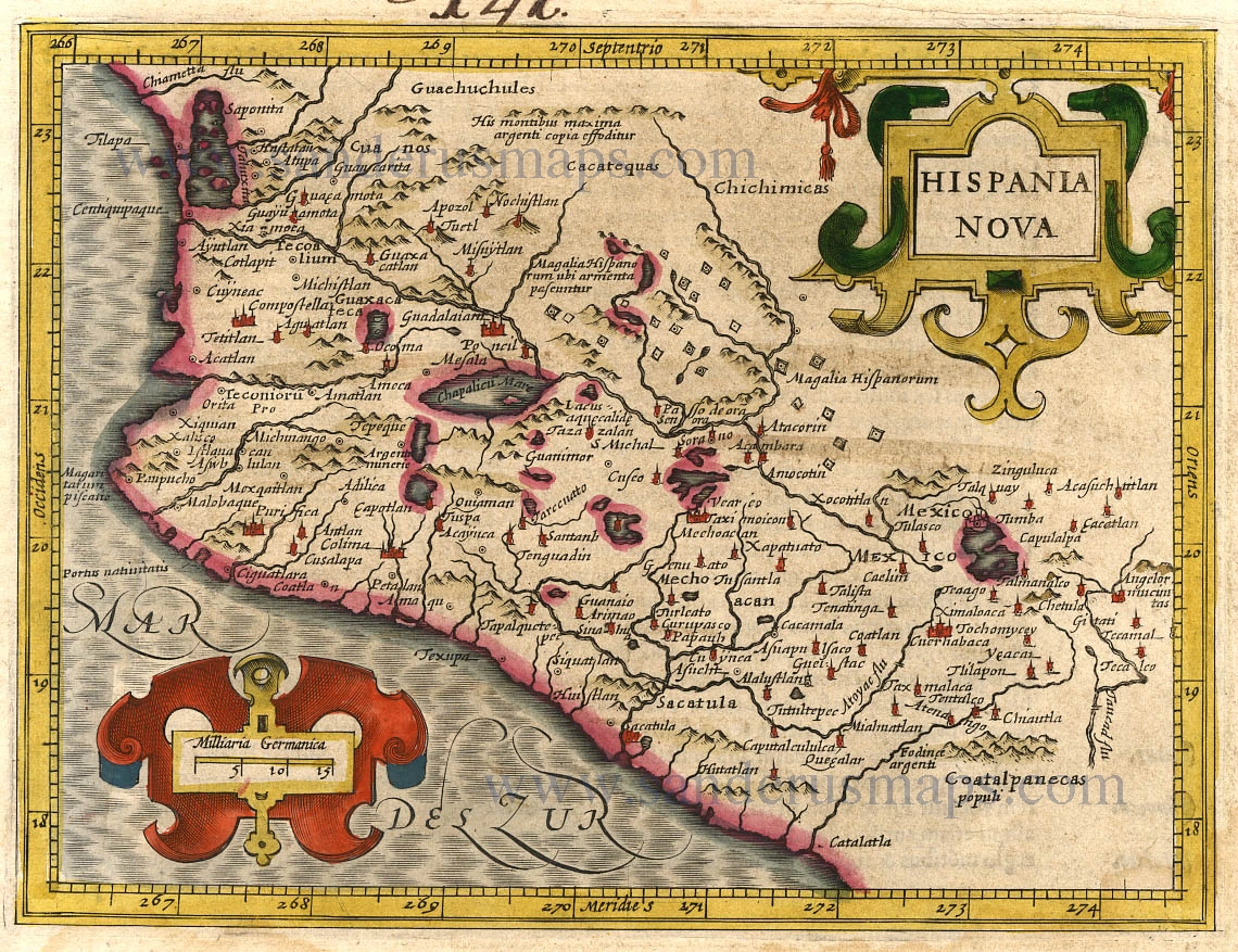
Hispania Nova. 1607
New Spain (Mexico) by G. Mercator.
[Item number: 362]

Nova Hispania, Et Nova Galicia. 1633
New Spain (Mexico) by J. Janssonius.
[Item number: 7787]
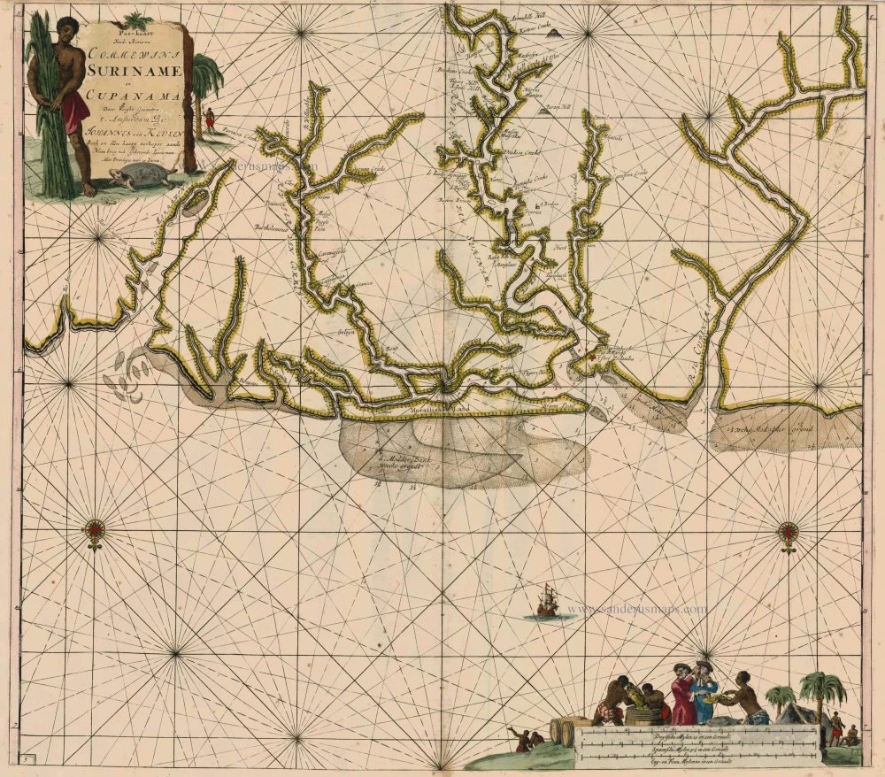
Pas-Kaart vande Rivieren Commewini Suriname en Cupanama. 1697-1709
Suriname by J. Van Keulen.
[Item number: 13692]
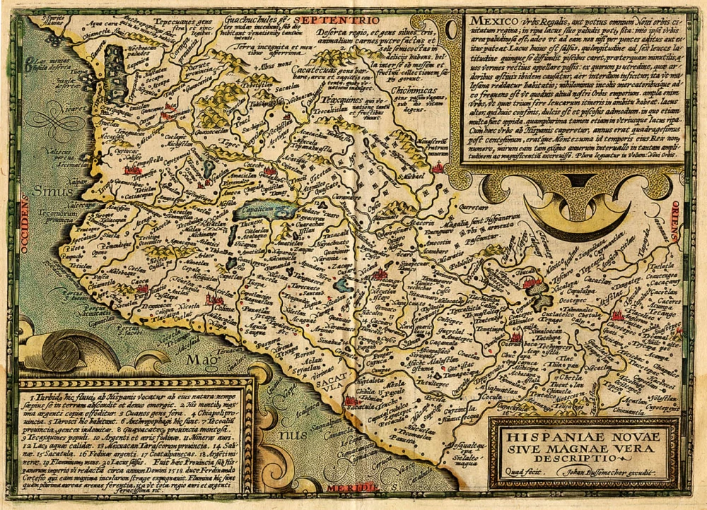
Hispaniae Novae sive Magnae Vera Descriptio. 1608
Mexico, by Quad M.-Bussemacher J.
[Item number: 15869]