
Northern South America, by Nicolas de Fer. 1709-28

Nicolas de Fer (1646-1720)
Nicolas de Fer was one of the greatest map producers of the 17th century. At the age of twelve, he had been apprenticed to the etcher Louis Spirinx in Paris. He quickly turned to the actual making of geography maps and edited very current and "useful" documents: border maps, towns fortified by Vauban, voyages of discovery, etc.
His father, Antoine de Fer, a modest print merchant, died in June 1673. His widow, Geneviève Hourlier, continued to operate the fund during the years following the death of her husband.
The career of Nicolas de Fer did not begin until 1687, when his mother gave up her business in maps. After several difficult years, he achieved high prosperity and notoriety. He was appointed as a geographer of the Grand Dauphin and published his first atlases, the Côtes de France and the Introduction à la fortification.
When the Grand Dauphin died in 1711, he became "Géographe des rois de France et d'Espagne" (Geographer of the kings of France and Spain). After the disappearance of Louis XIV, we found him, in 1720, with the sole title of "Géographe ordinaire de Sa Majesté Catholique".
At the time that he received this official support, N. de Fer continued to publish atlases which, both by their number and by the importance of their content, significantly contributed to the success of his publishing career. He published numerous successful atlases and other works. Dutch publishers copied several of these atlases. In 1695 Pieter Mortier published the Atlas Royal, and Carel Allard published the Théatre de la Guerre du Pais Bas Catholique in the following years. He also published 26 large wall maps.
The sign of De Fer's shop was the "Sphère Royale", an emblem to which he was very attached because we find the image of this armillary sphere on many of his publications.
La Partie Méridionale De L'Amérique Appeéee Terre Ferme ou se trouve Les Provinces ou Grand Gouvernemens de La Guiane et de La Nouvelle Grenade . . .
Item Number: 27572 Authenticity Guarantee
Category: Antique maps > America > South America
Old, antique map of Northern South America, by Nicolas de Fer.
Title: La Partie Méridionale De L'Amérique Appeéee Terre Ferme ou se trouve Les Provinces ou Grand Gouvernemens de La Guiane et de La Nouvelle Grenade . . .
Date: 1709-28.
Copper engraving, printed on paper.
Size (not including margins): 480 x 635mm (18.9 x 25 inches).
Verso: Blank.
Condition: Original coloured in outline, two small brown stains.
Condition Rating: A+.
From: Atlas ou recueil de cartes géographiques, dressées sur les nouvelles observations de Mrs de l'Académie Royale des Sciences. Paris, N. de Fer, 1709-[28]. (Pastoureau, Fer II C)
Nicolas de Fer (1646-1720)
Nicolas de Fer was one of the greatest map producers of the 17th century. At the age of twelve, he had been apprenticed to the etcher Louis Spirinx in Paris. He quickly turned to the actual making of geography maps and edited very current and "useful" documents: border maps, towns fortified by Vauban, voyages of discovery, etc.
His father, Antoine de Fer, a modest print merchant, died in June 1673. His widow, Geneviève Hourlier, continued to operate the fund during the years following the death of her husband.
The career of Nicolas de Fer did not begin until 1687, when his mother gave up her business in maps. After several difficult years, he achieved high prosperity and notoriety. He was appointed as a geographer of the Grand Dauphin and published his first atlases, the Côtes de France and the Introduction à la fortification.
When the Grand Dauphin died in 1711, he became "Géographe des rois de France et d'Espagne" (Geographer of the kings of France and Spain). After the disappearance of Louis XIV, we found him, in 1720, with the sole title of "Géographe ordinaire de Sa Majesté Catholique".
At the time that he received this official support, N. de Fer continued to publish atlases which, both by their number and by the importance of their content, significantly contributed to the success of his publishing career. He published numerous successful atlases and other works. Dutch publishers copied several of these atlases. In 1695 Pieter Mortier published the Atlas Royal, and Carel Allard published the Théatre de la Guerre du Pais Bas Catholique in the following years. He also published 26 large wall maps.
The sign of De Fer's shop was the "Sphère Royale", an emblem to which he was very attached because we find the image of this armillary sphere on many of his publications.
Related items

Carte Particuliere du Perou, de la Ville de Lima. 1713-1719
South America (Northwest), by Zacharias Châtelain.
[Item number: 16838]
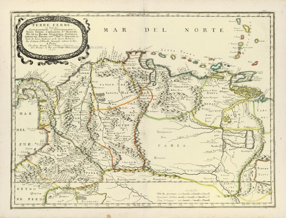
Terre Ferme ou sont les Governations, ou Gouvernemens de Terre Ferme, Cartagene, Ste. Marthe, Rio de la Hache, Venezuela, Nouvelle Andalusie, Popayan, Nouveau Roy[au]me de Grenade, &c. 1658
Northern South America by Nicolas Sanson.
[Item number: 28505]

SCARCE !
Potosi. 1685/90
View of Potosi (Bolivia), by Carel Allard.
[Item number: 30586]

First edition
Terra Firma Et Novum Regnum Granatense Et Popayan. 1630
Colombia by Willem Blaeu.
[Item number: 32531]

L' America Meridionale. 1677
South America by Nicolas Sanson, published by Giovanni de Rossi.
[Item number: 32897]