
Ceylon (Sri Lanka), by Zacharias Châtelain. 1719

The Châtelain Family
Zacharias Châtelain (1684-1743) was a bookseller and publisher of Amsterdam. He was succeeded by his sons Zacharias jr and Henry Abraham. The Châtelain family was best known for the historical atlas Atlas Historique, ou nouvelle introduction à l’histoire…, a major work of its time. It was an encyclopaedia in seven volumes, including geography as one of its main subjects. The atlas was published in Amsterdam in seven volumes in various editions with different imprints from 1705 to 1739. An anonym person (Mr. C***) compiled the work with compositions of text, maps, plates and chronological and genealogical tables by Gueudeville, except volume 7, where H.P. Limiers took over this task. The maps were made mainly after the work of Guillaume de l'Isle.
The 1705 edition was published with the imprint “L’Honoré & Châtelain”. Later editions had the imprint: “les Frères Châtelain Libraires” or “L’Honoré & Châtelain Libraires”.
Nouvelle Carte de L'Ile de Ceylon, avec des Remarques Historiques.
Item Number: 29360 Authenticity Guarantee
Category: Antique maps > Asia > India - Ceylon
Old, antique map of Ceylon (Sri Lanka), by Zacharias Châtelain.
Title: Nouvelle Carte de L'Ile de Ceylon, avec des Remarques Historiques.
Oriented to the west.
Date of the first edition: 1719.
Date of this map: 1719.
Copper engraving, printed on paper.
Map size: 380 x 440mm (14.96 x 17.32 inches).
Sheet size: 440 x 525mm (17.32 x 20.67 inches).
Verso: Blank.
Condition: Excellent.
Condition Rating: A+.
From: Châtelain Z. Atlas Historique, ou Nouvelle Introduction A l'Histoire, à la Chronologie & à la Geographie Ancienne & Moderne; ... Tome VI. Qui comprend l'Afrique & l'Amerique Septentrionale & Meridionale, ... A Amsterdam, Chez L'Honoré & Châtelain Libraires, M.DCC.XIX. (1719). (Koeman II, p. 37, Cha7)
The Châtelain Family
Zacharias Châtelain (1684-1743) was a bookseller and publisher of Amsterdam. He was succeeded by his sons Zacharias jr and Henry Abraham. The Châtelain family was best known for the historical atlas Atlas Historique, ou nouvelle introduction à l’histoire…, a major work of its time. It was an encyclopaedia in seven volumes, including geography as one of its main subjects. The atlas was published in Amsterdam in seven volumes in various editions with different imprints from 1705 to 1739. An anonym person (Mr. C***) compiled the work with compositions of text, maps, plates and chronological and genealogical tables by Gueudeville, except volume 7, where H.P. Limiers took over this task. The maps were made mainly after the work of Guillaume de l'Isle.
The 1705 edition was published with the imprint “L’Honoré & Châtelain”. Later editions had the imprint: “les Frères Châtelain Libraires” or “L’Honoré & Châtelain Libraires”.
Related items

Ins. Ceilan quae incolis Tenarisin dicitur. 1638
Sri Lanka (Ceylon), by Jodocus Hondius.
[Item number: 26006]

Carte du Golfe de Bengale, Mer des Indes, et Riviere du Gange, Avec les Païs et Iles d'alentour, Savoir les Côtes de Malabar, Cormandel, Ile de Ceylon, les Maldives, les Rolaumes de Visiapour, Golconda, Guzaratte, etc. 1713
India and Ceylon (Sri Lanka), by Pieter van der Aa.
[Item number: 26095]

Peninsula Indiae citra Gangem, hoc est Orae Celeberrimae Malabar & Coromandel. Cum Adjacente Insula non Minus Celebratissima Ceylon. c. 1737
India & Ceylon, by Homann Heirs.
[Item number: 26752]

Punto de Galle. 1724-26
Galle (Ceylon - Sri Lanka) ,by François Valentyn (Valentijn).
[Item number: 26902]

Very nice old colour
Iaponia. 1623
Japan, Jodocus Hondius.
[Item number: 27819]
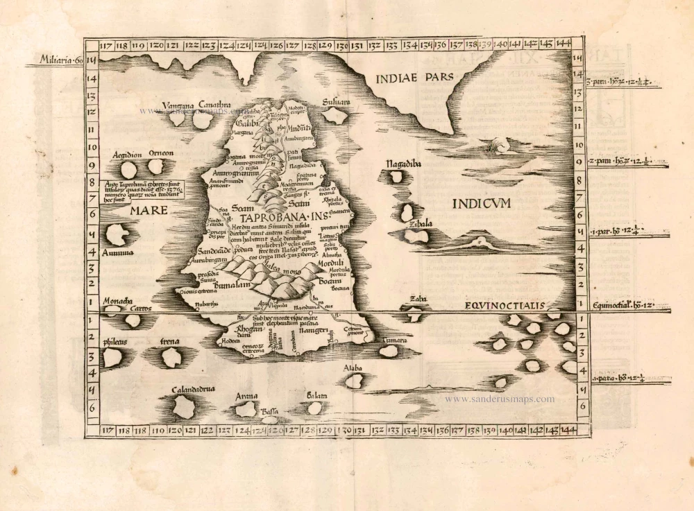
[No title] 1525
Ceylon (Sri Lanka), by Lorenz Fries.
[Item number: 27932]

Baay van Tricoen Male. 1724-26
Sri Lanka (Ceylon) - Trincomalee Bay by François Valentyn (Valentijn).
[Item number: 28627]

Penisola dell'Indo di qua del Gange, e l'Isola di Ceilan nell'Indie Orientali. 1696
India - Ceylon (Sri Lanka) by Vincenzo Coronelli.
[Item number: 28674]

SCARCE !
Colombo. 1685/90
Ceylon (Sri Lanka) - Colombo, by Carel Allard.
[Item number: 30576]

[Map of the Maldives] [and] Ceylon I. 1618
Maldives and Ceylon, by Petrus Bertius
[Item number: 32170]
Scarce
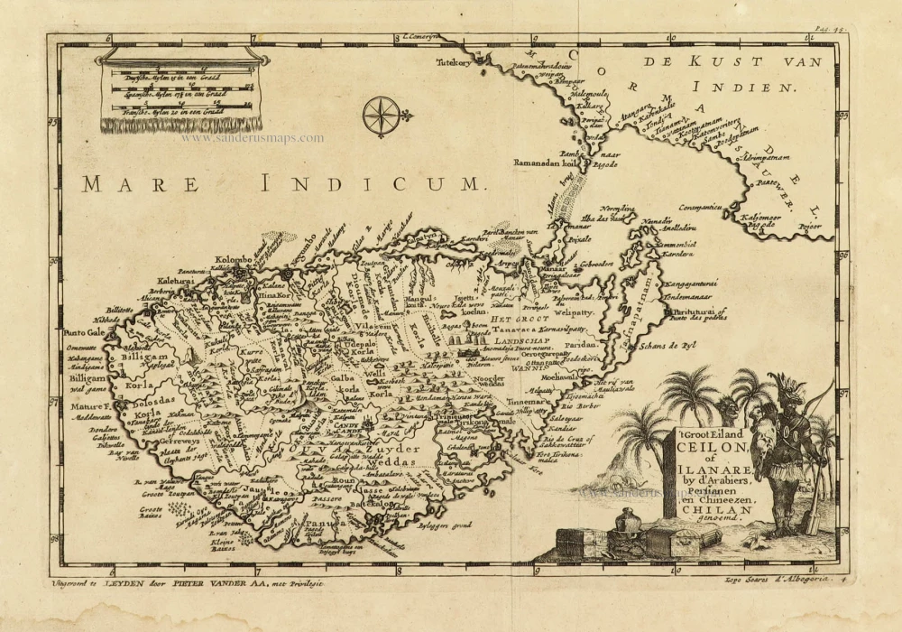
't Groot Eiland Ceilon, of Ilanare. by s'Arabiers, Persianen en Chineezen Chilan genoemd. 1707
Ceylon (Sri Lanka), by Pieter Van der Aa.
[Item number: 32324]
Scarce
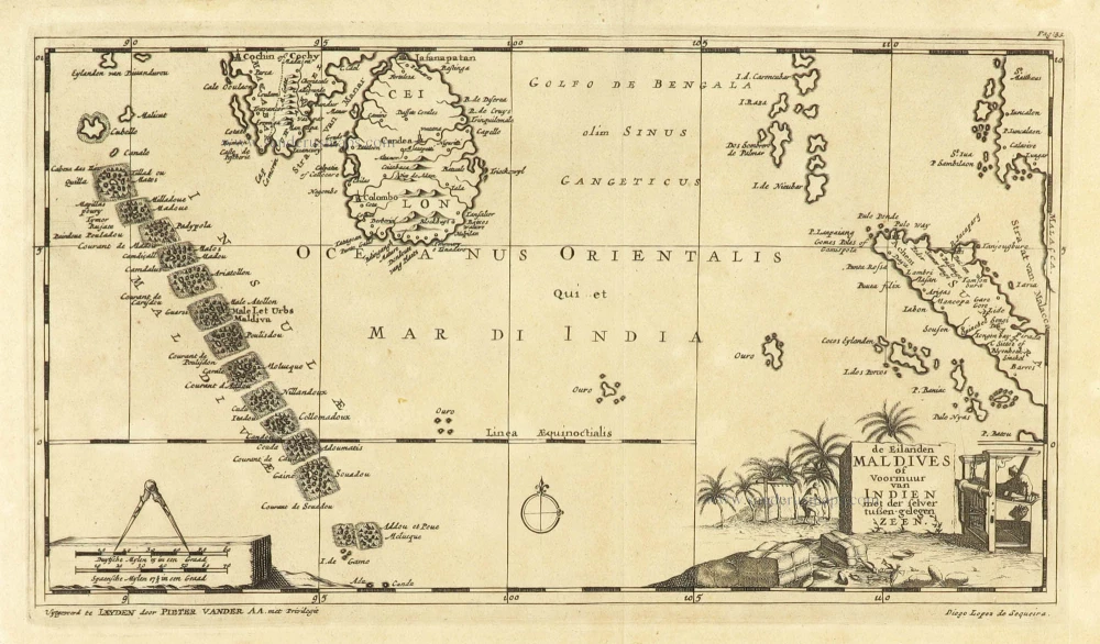
De Eilanden Maldives of Voormuur van Indien met der selver tußen-gelegen Zeen. 1707
Maldives and Ceylon, by Pieter Van der Aa.
[Item number: 32342]

Nieuwe kaart van het eyland Ceylon. 1724-26
Ceylon (Sri Lanka) by François Valentyn (Valentijn)
[Item number: 32699]