
India - Ceylon (Sri Lanka) by Vincenzo Coronelli. 1696

Vincenzo Coronelli (1650-1718)
Vincenzo Coronelli was born in Venice on 16 August 1650 and primarily brought up in Ravenna. He returned to Venice in 1665 and joined the convent of the Minor Conventuals. Five years later, he was sent to Rome to study, and by 1673, he was already a doctor of theology.
Having achieved fame by constructing two globes for the Duke of Parma, he was invited to Paris for three years in 1681 and made two enormous examples for Louis XIV. On his return to Venice, he assiduously collected cartographic material and founded the Academy of the Argonauts. In 1685, he was appointed Cosmographer to the Republic of Venice and authorised to publish a large atlas. He became a geography lecturer at the University of Venice and brought out an Atlante Veneto the following year.
In 1696, he visited Germany, Holland and southern England. During intervals in compiling his vast encyclopaedia, he continued with cartographic projects up to 1709. He died in his native Venice on 9 December 1718.
Coronelli became famous for his globes. In addition, he was a renowned encyclopaedist, mapmaker and geographer. Most of his maps and other material are gathered in his Atlante Veneto (13 vols, 1690-1705). The first volume, subtitled Descrizione generale istorica geografica, was his masterpiece, planned as an extension of Blaeu’s atlas.
Other volumes of the atlas which contain maps are Isolario, two parts (1696-8), with detailed maps and plans, mostly of islands; Corso geografico, two parts based on the edition 1694-7; Libro de’ globi (1697); and Lo Specchio del Mare, a reprint of Levanto's Lo Specchio del Mare Mediterraneo of 1664.
The other vital aspects of his mapping are those arising from the Venetian conquest and his travels. His most extensive military compilation was the Teatro della Guerra, in more than 30 volumes.
Penisola dell'Indo di qua del Gange, e l'Isola di Ceilan nell'Indie Orientali.
Item Number: 28674 Authenticity Guarantee
Category: Antique maps > Asia > India - Ceylon
Old, antique map of India - Ceylon (Sri Lanka), by Vincenzo Coronelli.
Title: Penisola dell'Indo di qua del Gange, e l'Isola di Ceilan nell'Indie Orientali.
Descritta, e dedicata dal P. Coronelli Lettore, e Cosmografo della Serenissima Republica di Venetia.
All'Illustrissimo, et Eccellentissimo Signor Ottavio Manin, Procuratore di San Marco. etc.
Insets: Isola di Ceilan. [and] Porto et Isola del Sole ... nella Gran Baia di Cotiary. [Trincomalee Bay]
Date of the first edition: 1696.
Date of this map: 1696.
Copper engraving, printed on paper.
Map size: 450 x 605mm (17.72 x 23.82 inches).
Sheet size: 485 x 695mm (19.09 x 27.36 inches).
Verso: Italian text.
Condition: Some small tears in lower margin closed, tear in upper edge closed, running 6cm into the image.
Condition Rating: B+.
From: Isolario Descrittione Geografico-Historica, Sacro-Profano, Antico-Moderna, Politica, Naturale e Poetica ... di Tutti l'Isole ... Tomo II dell'Atlante Veneto ... del P.Maestro Vincenzo Coronelli ... A'Spese dell'Autore MDCLXXXXVI. (Shirley (Brit.Lib), T.CORO-13a)
Vincenzo Coronelli (1650-1718)
Vincenzo Coronelli was born in Venice on 16 August 1650 and primarily brought up in Ravenna. He returned to Venice in 1665 and joined the convent of the Minor Conventuals. Five years later, he was sent to Rome to study, and by 1673, he was already a doctor of theology.
Having achieved fame by constructing two globes for the Duke of Parma, he was invited to Paris for three years in 1681 and made two enormous examples for Louis XIV. On his return to Venice, he assiduously collected cartographic material and founded the Academy of the Argonauts. In 1685, he was appointed Cosmographer to the Republic of Venice and authorised to publish a large atlas. He became a geography lecturer at the University of Venice and brought out an Atlante Veneto the following year.
In 1696, he visited Germany, Holland and southern England. During intervals in compiling his vast encyclopaedia, he continued with cartographic projects up to 1709. He died in his native Venice on 9 December 1718.
Coronelli became famous for his globes. In addition, he was a renowned encyclopaedist, mapmaker and geographer. Most of his maps and other material are gathered in his Atlante Veneto (13 vols, 1690-1705). The first volume, subtitled Descrizione generale istorica geografica, was his masterpiece, planned as an extension of Blaeu’s atlas.
Other volumes of the atlas which contain maps are Isolario, two parts (1696-8), with detailed maps and plans, mostly of islands; Corso geografico, two parts based on the edition 1694-7; Libro de’ globi (1697); and Lo Specchio del Mare, a reprint of Levanto's Lo Specchio del Mare Mediterraneo of 1664.
The other vital aspects of his mapping are those arising from the Venetian conquest and his travels. His most extensive military compilation was the Teatro della Guerra, in more than 30 volumes.
Related items

Carte des Cotes de Malabar et de Coromandel. 1721-41
India by Guillaume Delisle, published by Covens & Mortier.
[Item number: 23609]

Ins. Ceilan quae incolis Tenarisin dicitur. 1638
Sri Lanka (Ceylon), by Jodocus Hondius.
[Item number: 26006]

Carte du Golfe de Bengale, Mer des Indes, et Riviere du Gange, Avec les Païs et Iles d'alentour, Savoir les Côtes de Malabar, Cormandel, Ile de Ceylon, les Maldives, les Rolaumes de Visiapour, Golconda, Guzaratte, etc. 1713
India and Ceylon (Sri Lanka), by Pieter van der Aa.
[Item number: 26095]

L'Inde de ça le Gange. 1713
India, by Pieter van der Aa.
[Item number: 26107]

Tabula Asiae XI. 1597
India, by Giovanni Magini
[Item number: 26522]

Peninsula Indiae citra Gangem, hoc est Orae Celeberrimae Malabar & Coromandel. Cum Adjacente Insula non Minus Celebratissima Ceylon. c. 1737
India & Ceylon, by Homann Heirs.
[Item number: 26752]

Nieuwe kaart van Choromandel ende Malabar. 1724-26
Southern India, by François Valentyn (Valentijn).
[Item number: 26896]

Punto de Galle. 1724-26
Galle (Ceylon - Sri Lanka) ,by François Valentyn (Valentijn).
[Item number: 26902]

Narsinga et Ceylon. c. 1600
South India and Ceylon by Barent Langenes & Cornelis Claesz
[Item number: 26999]
[No title] 1525
Ceylon (Sri Lanka), by Lorenz Fries.
[Item number: 27932]

De rivier van Suratta. 1726
Surat (India), by François Valentyn (Valentijn).
[Item number: 27940]

Tabula .X. Asiae. [On verso] 1525
Ptolemy map of India by Lorenz Fries, after Martin Waldseemüller.
[Item number: 28198]

Baay van Tricoen Male. 1724-26
Sri Lanka (Ceylon) - Trincomalee Bay by François Valentyn (Valentijn).
[Item number: 28627]

Nouvelle Carte de L'Ile de Ceylon, avec des Remarques Historiques. 1719
Ceylon (Sri Lanka), by Zacharias Châtelain.
[Item number: 29360]

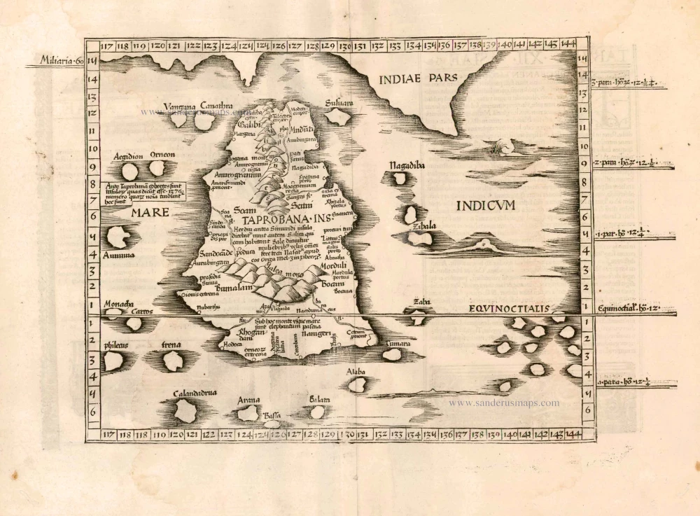
Taprobana. - [Above map :] Descrittione del l'Isola di Taprobana. 1590
Ceylon (Sri Lanka) by Tommaso Porcacchi.
[Item number: 29808]

SCARCE !
Colombo. 1685/90
Ceylon (Sri Lanka) - Colombo, by Carel Allard.
[Item number: 30576]

Bengala. 1618
India - Bengal by Petrus Bertius, published by Jodocus Hondius II.
[Item number: 32148]

[Map of the Maldives] [and] Ceylon I. 1618
Maldives and Ceylon, by Petrus Bertius
[Item number: 32170]
Scarce
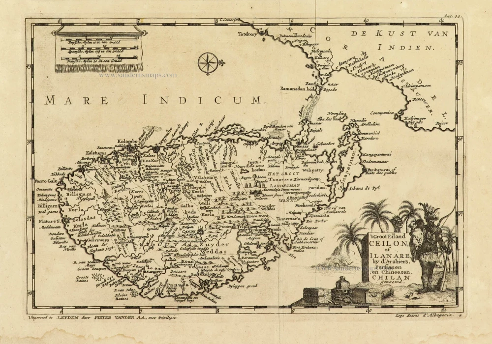
't Groot Eiland Ceilon, of Ilanare. by s'Arabiers, Persianen en Chineezen Chilan genoemd. 1707
Ceylon (Sri Lanka), by Pieter Van der Aa.
[Item number: 32324]
Scarce
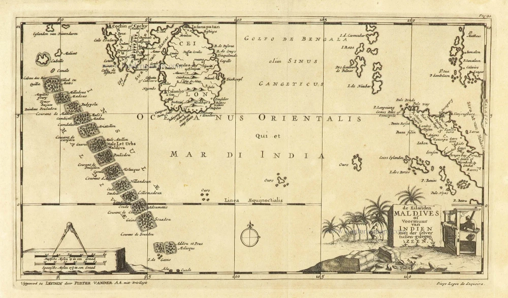
De Eilanden Maldives of Voormuur van Indien met der selver tußen-gelegen Zeen. 1707
Maldives and Ceylon, by Pieter Van der Aa.
[Item number: 32342]

Nieuwe kaart van het eyland Ceylon. 1724-26
Ceylon (Sri Lanka) by François Valentyn (Valentijn)
[Item number: 32699]

Magni Mogolis Imperium. 1643
India, by Joan Blaeu.
[Item number: 32739]