
South India and Ceylon by Barent Langenes & Cornelis Claesz c. 1600

Barent Langenes ans his Caert-Thresoor
Barent Langenes, a Dutch bookseller and publisher of Middelburg (Zeeland), about whom little is known, was the first printer of the Caert-Thresoor (1598), a small-size atlas with an exciting history. This atlas had many editions in Dutch, Latin, French, and German, later brought out by Cornelis Claesz and Jodocus Hondius. Langenes was involved in the first two Dutch editions.
The Caert-Thresoor, is a collection of maps to which the text was adapted and not the reverse, as in the case with many geographical studies. The most exciting maps are those of the English and the Dutch in arctic waters, searching for the route to China (Northwest Passage). It records the departure of the Dutch third fleet in the spring of 1596 but not the return of survivors of this tragic voyage in August 1597. This atlas sets a new standard for minor atlases. Moreover, it was affordable to the citizens of the lowest income.
The text was rewritten, first by Petrus Bertius and reissued in 1600, and then again by Jacobus Viverius in 1609. The edition with the original basic text continued to be published until 1609, the year of Cornelis Claesz’s death.
Cornelis Claesz.
Printer and bookseller in Amsterdam, 1580-1609. He is famous for publishing maps, pilot guides, and atlases in the beginning period of the development of cartography in the northern Netherlands. He is noted for his co-operation with the cartographer Petrus Plancius and his editions of voyages. After 1590, the works of Lucas Jansz. He published Waghenaer, and in 1599, he acquired the publication rights of Barent Langenes’ Caert-thresoor.
Narsinga et Ceylon.
Item Number: 26999 Authenticity Guarantee
Category: Antique maps > Asia > India - Ceylon
Old, antique map of South India and Ceylon, by Barent Langenes & Cornelis Claesz.
Date of the first edition: 1598
Date of this map: c. 1600
Copper engraving, printed on paper.
Size (not including margins): 8.5 x 12.5cm (3.3 x 4.9 inches)
Verso text: French
Condition: Excellent.
Condition Rating: A+
References: Van der Krogt 3, 8335:341A.
From: Barent Langenes. Thrésor de Chartes. Den Haag, Albert Hendricks for Cornelis Claesz., c. 1600. (Van der Krogt 3, 341:11)
Barent Langenes ans his Caert-Thresoor
Barent Langenes, a Dutch bookseller and publisher of Middelburg (Zeeland), about whom little is known, was the first printer of the Caert-Thresoor (1598), a small-size atlas with an exciting history. This atlas had many editions in Dutch, Latin, French, and German, later brought out by Cornelis Claesz and Jodocus Hondius. Langenes was involved in the first two Dutch editions.
The Caert-Thresoor, is a collection of maps to which the text was adapted and not the reverse, as in the case with many geographical studies. The most exciting maps are those of the English and the Dutch in arctic waters, searching for the route to China (Northwest Passage). It records the departure of the Dutch third fleet in the spring of 1596 but not the return of survivors of this tragic voyage in August 1597. This atlas sets a new standard for minor atlases. Moreover, it was affordable to the citizens of the lowest income.
The text was rewritten, first by Petrus Bertius and reissued in 1600, and then again by Jacobus Viverius in 1609. The edition with the original basic text continued to be published until 1609, the year of Cornelis Claesz’s death.
Cornelis Claesz.
Printer and bookseller in Amsterdam, 1580-1609. He is famous for publishing maps, pilot guides, and atlases in the beginning period of the development of cartography in the northern Netherlands. He is noted for his co-operation with the cartographer Petrus Plancius and his editions of voyages. After 1590, the works of Lucas Jansz. He published Waghenaer, and in 1599, he acquired the publication rights of Barent Langenes’ Caert-thresoor.
Related items

Sumatra Insula. c. 1600
Sumatra by Barent Langenes & Cornelis Claesz
[Item number: 26932]

Malacca. c. 1600
Malacca by Barent Langenes & Cornelis Claesz
[Item number: 26934]

Iava Maior. c. 1600
Java by Barent Langenes & Cornelis Claesz
[Item number: 26935]

Moluccae Insulae. c. 1600
Moluccas by Barent Langenes & Cornelis Claesz
[Item number: 26996]

Malabar. c. 1600
Malabar by Barent Langenes & Cornelis Claesz
[Item number: 26997]
[No title] 1525
Ceylon (Sri Lanka), by Lorenz Fries.
[Item number: 27932]

Penisola dell'Indo di qua del Gange, e l'Isola di Ceilan nell'Indie Orientali. 1696
India - Ceylon (Sri Lanka) by Vincenzo Coronelli.
[Item number: 28674]

Carte Nouvelle des Terres de Cucan, de Canara, de Malabar, de Madura, et de Coromandel: 1719
Southern India, by Z. Châtelain.
[Item number: 29378]

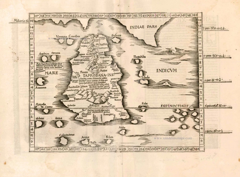
Taprobana. - [Above map :] Descrittione del l'Isola di Taprobana. 1590
Ceylon (Sri Lanka) by Tommaso Porcacchi.
[Item number: 29808]

Bengala. 1618
India - Bengal by Petrus Bertius, published by Jodocus Hondius II.
[Item number: 32148]

[Map of the Maldives] [and] Ceylon I. 1618
Maldives and Ceylon, by Petrus Bertius
[Item number: 32170]
Scarce
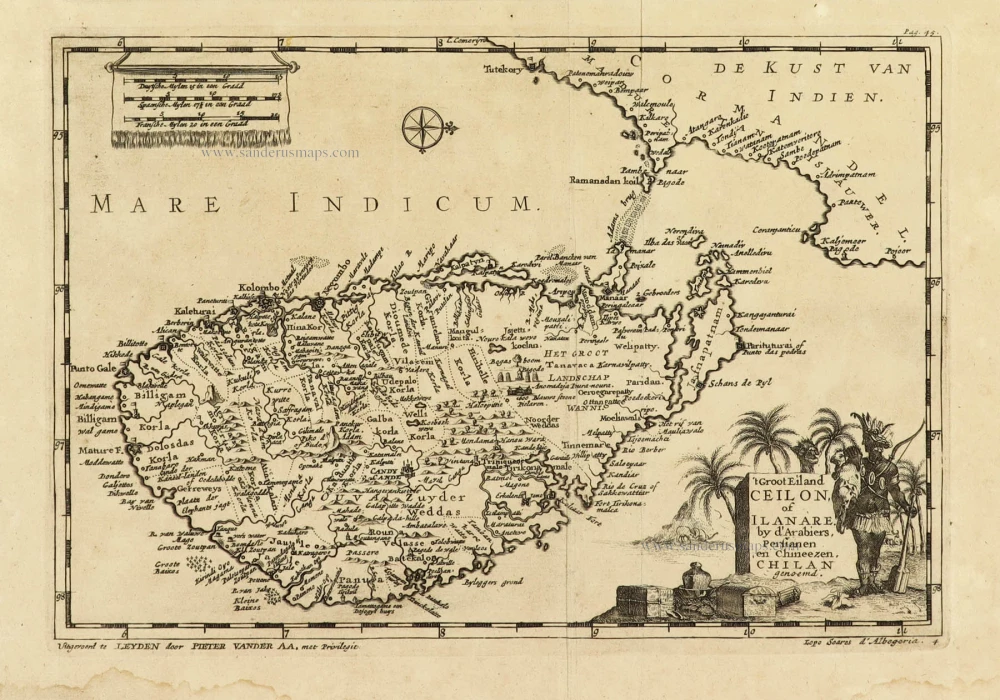
't Groot Eiland Ceilon, of Ilanare. by s'Arabiers, Persianen en Chineezen Chilan genoemd. 1707
Ceylon (Sri Lanka), by Pieter Van der Aa.
[Item number: 32324]
Scarce
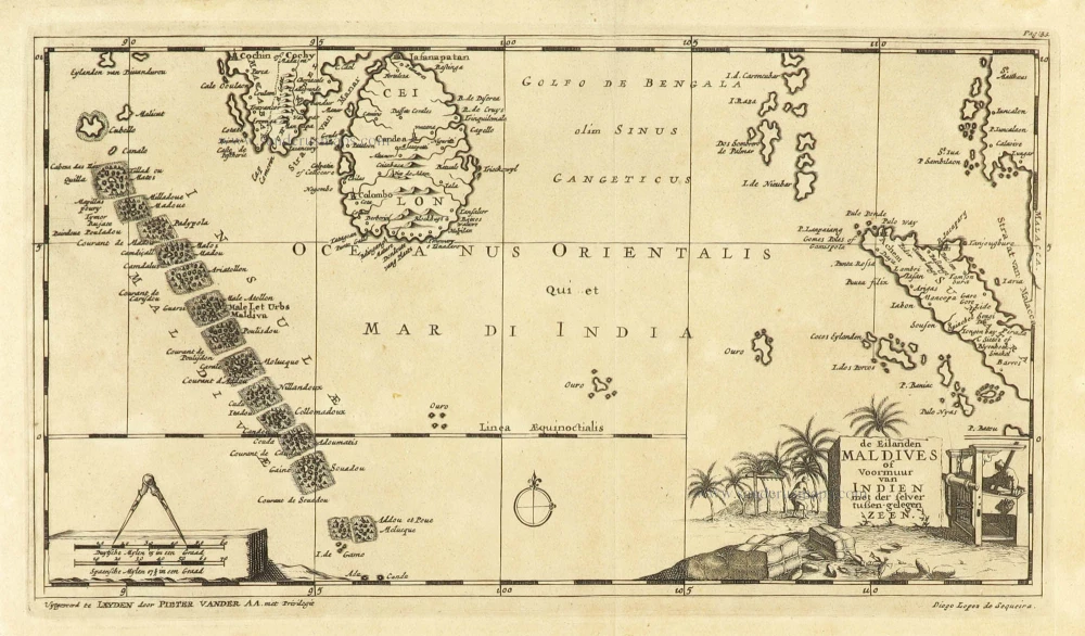
De Eilanden Maldives of Voormuur van Indien met der selver tußen-gelegen Zeen. 1707
Maldives and Ceylon, by Pieter Van der Aa.
[Item number: 32342]
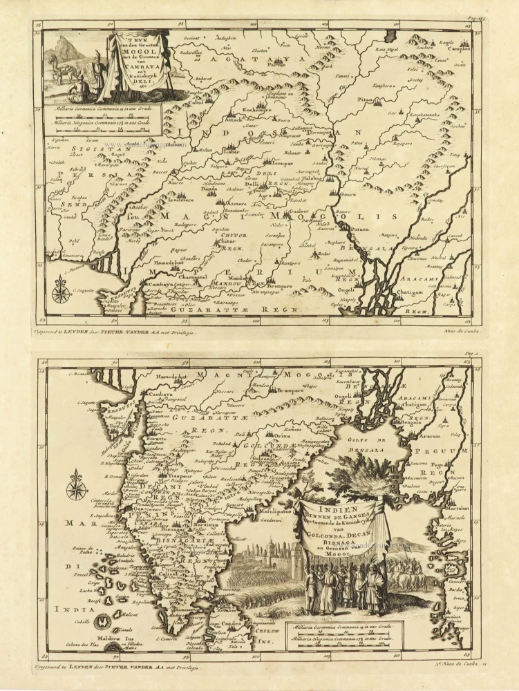
'T Ryk van den Grooten Mogol met de Grenzen van Cambaya en 't Koninkryk Deli etc. + Indien binnen de Ganges Vertoonende de Koninkryken van Golconda, Decan, Bisnaga en Grenzen van Mogol. 1707
India on two maps, by Pieter Van der Aa.
[Item number: 32362]

H[et] Koninkryk van Guzaratte met d'engte van Cambaya en der selver vloeden, 1707
India - Cambay, by Pieter Van der Aa.
[Item number: 32363]

De Koninkryken van Guzaratte Cambaya en Mogol tot aan Bengale en Pegu. 1707
India by Pieter Van der Aa.
[Item number: 32392]

Nieuwe kaart van het eyland Ceylon. 1724-26
Ceylon (Sri Lanka) by François Valentyn (Valentijn)
[Item number: 32699]