
Malacca by Barent Langenes & Cornelis Claesz c. 1600

Barent Langenes ans his Caert-Thresoor
Barent Langenes, a Dutch bookseller and publisher of Middelburg (Zeeland), about whom little is known, was the first printer of the Caert-Thresoor (1598), a small-size atlas with an exciting history. This atlas had many editions in Dutch, Latin, French, and German, later brought out by Cornelis Claesz and Jodocus Hondius. Langenes was involved in the first two Dutch editions.
The Caert-Thresoor, is a collection of maps to which the text was adapted and not the reverse, as in the case with many geographical studies. The most exciting maps are those of the English and the Dutch in arctic waters, searching for the route to China (Northwest Passage). It records the departure of the Dutch third fleet in the spring of 1596 but not the return of survivors of this tragic voyage in August 1597. This atlas sets a new standard for minor atlases. Moreover, it was affordable to the citizens of the lowest income.
The text was rewritten, first by Petrus Bertius and reissued in 1600, and then again by Jacobus Viverius in 1609. The edition with the original basic text continued to be published until 1609, the year of Cornelis Claesz’s death.
Cornelis Claesz.
Printer and bookseller in Amsterdam, 1580-1609. He is famous for publishing maps, pilot guides, and atlases in the beginning period of the development of cartography in the northern Netherlands. He is noted for his co-operation with the cartographer Petrus Plancius and his editions of voyages. After 1590, the works of Lucas Jansz. He published Waghenaer, and in 1599, he acquired the publication rights of Barent Langenes’ Caert-thresoor.
Malacca.
Item Number: 26934 Authenticity Guarantee
Category: Antique maps > Asia > Southeast Asia
Old, antique map of Malacca, by Barent Langenes & Cornelis Claesz.
Oriented to the East.
Date of the first edition: 1599
Date of this map: c. 1600
Copper engraving, printed on paper.
Size (not including margins): 9 x 12.5cm (3.5 x 4.9 inches)
Verso text: Frenck
Condition Rating: A+
References: Van der Krogt 3, 8530:341B.
From: Barent Langenes. Thrésor de Chartes. Den Haag, Albert Hendricks for Cornelis Claesz., c. 1600. (Van der Krogt 3, 341:11)
Barent Langenes ans his Caert-Thresoor
Barent Langenes, a Dutch bookseller and publisher of Middelburg (Zeeland), about whom little is known, was the first printer of the Caert-Thresoor (1598), a small-size atlas with an exciting history. This atlas had many editions in Dutch, Latin, French, and German, later brought out by Cornelis Claesz and Jodocus Hondius. Langenes was involved in the first two Dutch editions.
The Caert-Thresoor, is a collection of maps to which the text was adapted and not the reverse, as in the case with many geographical studies. The most exciting maps are those of the English and the Dutch in arctic waters, searching for the route to China (Northwest Passage). It records the departure of the Dutch third fleet in the spring of 1596 but not the return of survivors of this tragic voyage in August 1597. This atlas sets a new standard for minor atlases. Moreover, it was affordable to the citizens of the lowest income.
The text was rewritten, first by Petrus Bertius and reissued in 1600, and then again by Jacobus Viverius in 1609. The edition with the original basic text continued to be published until 1609, the year of Cornelis Claesz’s death.
Cornelis Claesz.
Printer and bookseller in Amsterdam, 1580-1609. He is famous for publishing maps, pilot guides, and atlases in the beginning period of the development of cartography in the northern Netherlands. He is noted for his co-operation with the cartographer Petrus Plancius and his editions of voyages. After 1590, the works of Lucas Jansz. He published Waghenaer, and in 1599, he acquired the publication rights of Barent Langenes’ Caert-thresoor.
Related items

Partie de la Nouvelle Grande Carte des Indes Orientales, Contenant les Isles Maldives, Ceylan, Malacca, Sumatra &c. 1792
Indian Ocean (North), by J.B. Elwe.
[Item number: 2363]

The most accurate and one of the most elegant 17th c. maps of the East Indies
Indiae Orientalis Nova Descriptio. 1644-58
Southeast Asia by Janssonius, Johannes
[Item number: 10013]
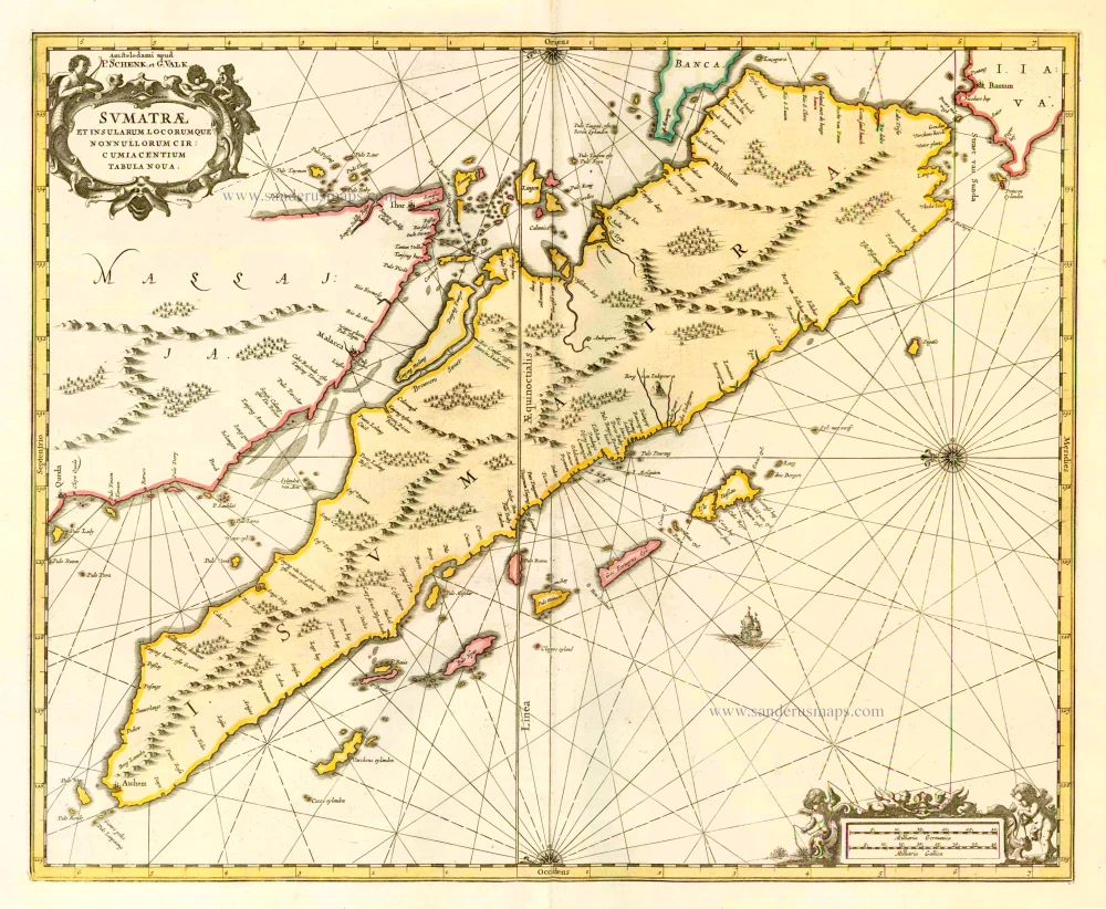
Sumatrae et Insularum Locorumque Nonnullorum Circumiacentium Tabula Nova. c. 1700
Sumatra, by G. Valk & P. Schenk.
[Item number: 25714]

Le Détroit de Malacca, Dressé sur les Memoires des plus Savans Voyageurs Modernes. 1713
Straits of Malacca, by Pieter van der Aa.
[Item number: 26105]

L'Île de Sumatra. 1713
Sumatra by P. Van der Aa
[Item number: 26126]

Nieuwe Kaart van het Eyland Sumatra. 1724-26
Malaysia - Sumatra by François Valentyn (Valentijn)
[Item number: 26898]

Moluccae Insulae. c. 1600
Moluccas by Barent Langenes & Cornelis Claesz
[Item number: 26996]

Malabar. c. 1600
Malabar by Barent Langenes & Cornelis Claesz
[Item number: 26997]

Narsinga et Ceylon. c. 1600
South India and Ceylon by Barent Langenes & Cornelis Claesz
[Item number: 26999]

Bengala. c. 1600
Bengal, by Barent Langenes & Cornelis Claesz.
[Item number: 27001]

De Stad Malacka. 1726
Malacca, by François Valentyn.
[Item number: 27898]

Malacca. 1618
Malacca by Petrus Bertius, published by Jodocus Hondius II.
[Item number: 32150]