
Southern India, by François Valentyn (Valentijn). 1724-26

François Valentijn (1666-1727)
François Valentijn was a minister who devoted most of his life to the employ of the V.O.C. In 1685 he was sent by the V.O.C. to Ambon as a Minister to the East Indies, where he remained for a decade. He returned and lived in Holland for about ten years before returning to the Indies in 1705. The following year Valentijn was Army Chaplain on an expedition in eastern Java but suffered health problems and requested permission to return to Holland.
Finally, back home, Valentijn composed his monumental work, Oud en Nieuw Oost-Indien. This massive work of five parts in eight volumes appeared between 1724 and 1726. It was created both from the voluminous journals Valentijn had amassed during his two stays in Southeast Asia, as well as from his own research, correspondence, and previously unpublished material secured from V.O.C. officials. It contained over one thousand engraved illustrations and some of the most accurate maps of the Indies of this time.
Nieuwe kaart van Choromandel ende Malabar.
Item Number: 26896 Authenticity Guarantee
Category: Antique maps > Asia > India - Ceylon
Southern India, by François Valentyn (Valentijn).
Title: Nieuwe kaart van Choromandel ende Malabar.
Date of the first edition: 1726.
Date of this map: 1724-26.
Copper engraving, printed on paper.
Size (not including margins): 510 x 585mm (20.08 x 23.03 inches).
Verso: Blank.
Condition: Folds as issued, excellent.
Condition Rating: A+.
From: Valentyn F., Oud en Nieuw Oost-Indien, vervattende Een Naaukeurige en Uitvoerige Verhandelinge van Nederlands Mogendheyd In die Geweesten. Amsterdam, J. van Braam & G. onder de Linden, 1724-26.
François Valentijn (1666-1727)
François Valentijn was a minister who devoted most of his life to the employ of the V.O.C. In 1685 he was sent by the V.O.C. to Ambon as a Minister to the East Indies, where he remained for a decade. He returned and lived in Holland for about ten years before returning to the Indies in 1705. The following year Valentijn was Army Chaplain on an expedition in eastern Java but suffered health problems and requested permission to return to Holland.
Finally, back home, Valentijn composed his monumental work, Oud en Nieuw Oost-Indien. This massive work of five parts in eight volumes appeared between 1724 and 1726. It was created both from the voluminous journals Valentijn had amassed during his two stays in Southeast Asia, as well as from his own research, correspondence, and previously unpublished material secured from V.O.C. officials. It contained over one thousand engraved illustrations and some of the most accurate maps of the Indies of this time.
Related items

Carte des Cotes de Malabar et de Coromandel. 1721-41
India by Guillaume Delisle, published by Covens & Mortier.
[Item number: 23609]

Magni Mogolis Imperium. After 1721
Mongol Empire, by Frederick de Wit - Covens & Mortier.
[Item number: 25838]

Goa. 1638
Goa, by M. Merian.
[Item number: 25903]

Carte du Golfe de Bengale, Mer des Indes, et Riviere du Gange, Avec les Païs et Iles d'alentour, Savoir les Côtes de Malabar, Cormandel, Ile de Ceylon, les Maldives, les Rolaumes de Visiapour, Golconda, Guzaratte, etc. 1713
India and Ceylon (Sri Lanka), by Pieter van der Aa.
[Item number: 26095]

L'Inde de ça le Gange. 1713
India, by Pieter van der Aa.
[Item number: 26107]

Tabula Asiae XI. 1597
India, by Giovanni Magini
[Item number: 26522]

Peninsula Indiae citra Gangem, hoc est Orae Celeberrimae Malabar & Coromandel. Cum Adjacente Insula non Minus Celebratissima Ceylon. c. 1737
India & Ceylon, by Homann Heirs.
[Item number: 26752]

Fries 1525 edition of the first modern map of Southeast Asia
Tab. Moderna Indiae. 1525
South Asia by Lorenz Fries.
[Item number: 27929]

Penisola dell'Indo di qua del Gange, e l'Isola di Ceilan nell'Indie Orientali. 1696
India - Ceylon (Sri Lanka) by Vincenzo Coronelli.
[Item number: 28674]

Carte Nouvelle des Terres de Cucan, de Canara, de Malabar, de Madura, et de Coromandel: 1719
Southern India, by Z. Châtelain.
[Item number: 29378]

Rare 1525 edition in nice old colour.
[No titel - from verso:] Tab. Moderna Indiae. 1525
Ptolemy map of southern Asia by Lorenz Fries, after Martin Waldseemüller.
[Item number: 30650]

Bengala. 1618
India - Bengal by Petrus Bertius, published by Jodocus Hondius II.
[Item number: 32148]
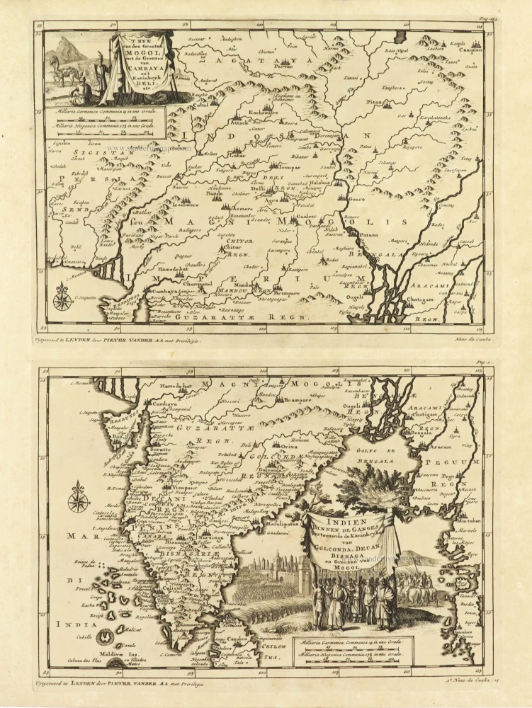
'T Ryk van den Grooten Mogol met de Grenzen van Cambaya en 't Koninkryk Deli etc. + Indien binnen de Ganges Vertoonende de Koninkryken van Golconda, Decan, Bisnaga en Grenzen van Mogol. 1707
India on two maps, by Pieter Van der Aa.
[Item number: 32362]

H[et] Koninkryk van Guzaratte met d'engte van Cambaya en der selver vloeden, 1707
India - Cambay, by Pieter Van der Aa.
[Item number: 32363]

De Koninkryken van Guzaratte Cambaya en Mogol tot aan Bengale en Pegu. 1707
India by Pieter Van der Aa.
[Item number: 32392]