This product is successfully added to your cart
Questions about this product? (#26522)

Authenticity Guarantee
All items are guaranteed authentic prints (woodcuts or engravings) or manuscripts made at or about (c.) the given date and in good condition unless stated otherwise. We don’t sell facsimiles or reproductions. We deliver every map with a Certificate of Authenticity containing all the details.

India, by Giovanni Magini 1597

Magini Giovanni Antonio  (1555-1617)

Giovanni Antonio Magini was an Italian astronomer, astrologer, cartographer, and mathematician. He was born in Padua and completed his philosophy studies in Bologna in 1579. In 1588, he was chosen over Galileo Galilei to occupy the chair of mathematics position at the University of Bologna. He was in contact with many well-known figures of his day, including Ortelius, Tycho Brahe, Galileo and Johannes Kepler.

Magini supported a geocentric system of the world in preference to Copernicus's heliocentric system. Magini devised his planetary theory in preference to other existing ones. The Maginian System consisted of eleven rotating spheres, which he described in his Novæ Cœlestium orbium theoricæ congruentes cum observationibus N. Copernici (Venice, 1589). His most important work was the first printed atlas of Italy, published posthumously by his son Fabio.

He died in Bologna on 11 February 1617.

back

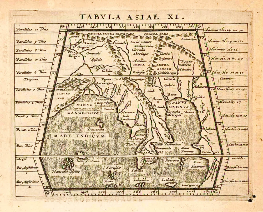
Tabula Asiae XI.

€280  ($305.2 / £235.2)
add to cart
Buy now
questions?
PRINT

Item Number:  26522 Authenticity Guarantee

Category:  Antique maps > Asia > India - Ceylon

Old, antique map of Southeast Asia, by Giovanni Magini.

Cartographer: Cl. Ptolemy.

Date of the first edition: 1596
Date of this map: 1597

Copper engraving, printed on paper.
Size (not including margins): 13 x 17cm (5.1 x 6.6 inches)
Verso text: Latin
Condition: Excellent.
Condition Rating: A+
References: Meurer (Cologne), Mag 61.

From: Geographicae Universae tum veteris novae . . . Auctore Io. Ant. Magino. Cologne, P. Keschedt, 1597. - Pirate edition after Magini's original work of 1596.

Ortelius informed Magini in November 1597 about this and the publication was stopped till 1608 when a new edition was issued by Keschedt.

Magini Giovanni Antonio  (1555-1617)

Giovanni Antonio Magini was an Italian astronomer, astrologer, cartographer, and mathematician. He was born in Padua and completed his philosophy studies in Bologna in 1579. In 1588, he was chosen over Galileo Galilei to occupy the chair of mathematics position at the University of Bologna. He was in contact with many well-known figures of his day, including Ortelius, Tycho Brahe, Galileo and Johannes Kepler.

Magini supported a geocentric system of the world in preference to Copernicus's heliocentric system. Magini devised his planetary theory in preference to other existing ones. The Maginian System consisted of eleven rotating spheres, which he described in his Novæ Cœlestium orbium theoricæ congruentes cum observationibus N. Copernici (Venice, 1589). His most important work was the first printed atlas of Italy, published posthumously by his son Fabio.

He died in Bologna on 11 February 1617.
References: Meurer (Cologne) - Mag 27

Related items

Southern India, by J.V. Bouchet.

Sud-Theil von Indien Herwerts des Ganges. Autore R. P. Ioan. Venantio Bouchet e Soc. IESU. 1726
Southern India, by J.V. Bouchet.
[Item number: 4184]

€250  ($272.5 / £210)
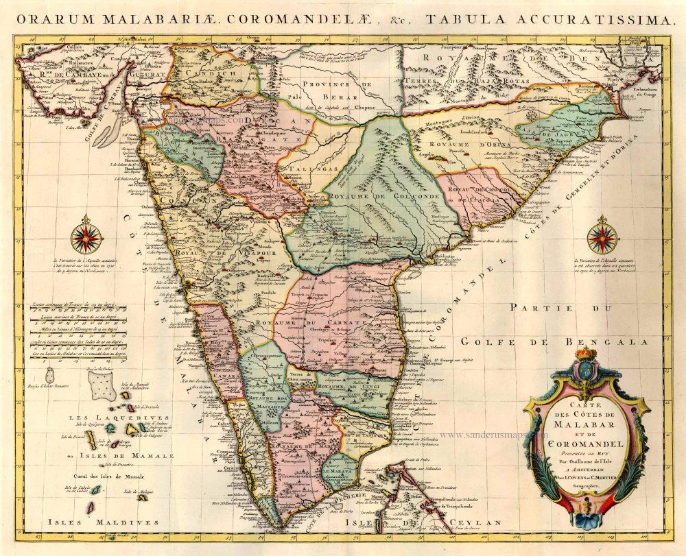
India by Guillaume Delisle, published by Covens & Mortier.

Carte des Cotes de Malabar et de Coromandel. 1721-41
India by Guillaume Delisle, published by Covens & Mortier.
[Item number: 23609]

€650  ($708.5 / £546)
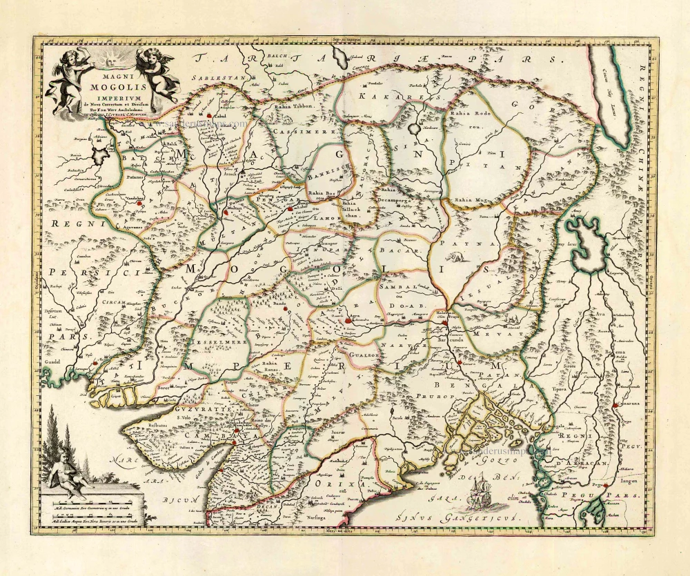
Mongol Empire, by Frederick de Wit - Covens & Mortier.

Magni Mogolis Imperium. After 1721
Mongol Empire, by Frederick de Wit - Covens & Mortier.
[Item number: 25838]

€500  ($545 / £420)
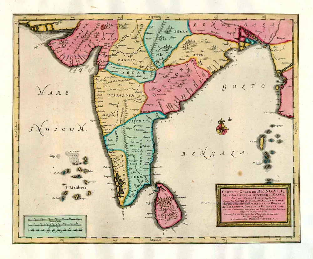
India and Ceylon (Sri Lanka), by Pieter van der Aa.

Carte du Golfe de Bengale, Mer des Indes, et Riviere du Gange, Avec les Païs et Iles d'alentour, Savoir les Côtes de Malabar, Cormandel, Ile de Ceylon, les Maldives, les Rolaumes de Visiapour, Golconda, Guzaratte, etc. 1713
India and Ceylon (Sri Lanka), by Pieter van der Aa.
[Item number: 26095]

€500  ($545 / £420)
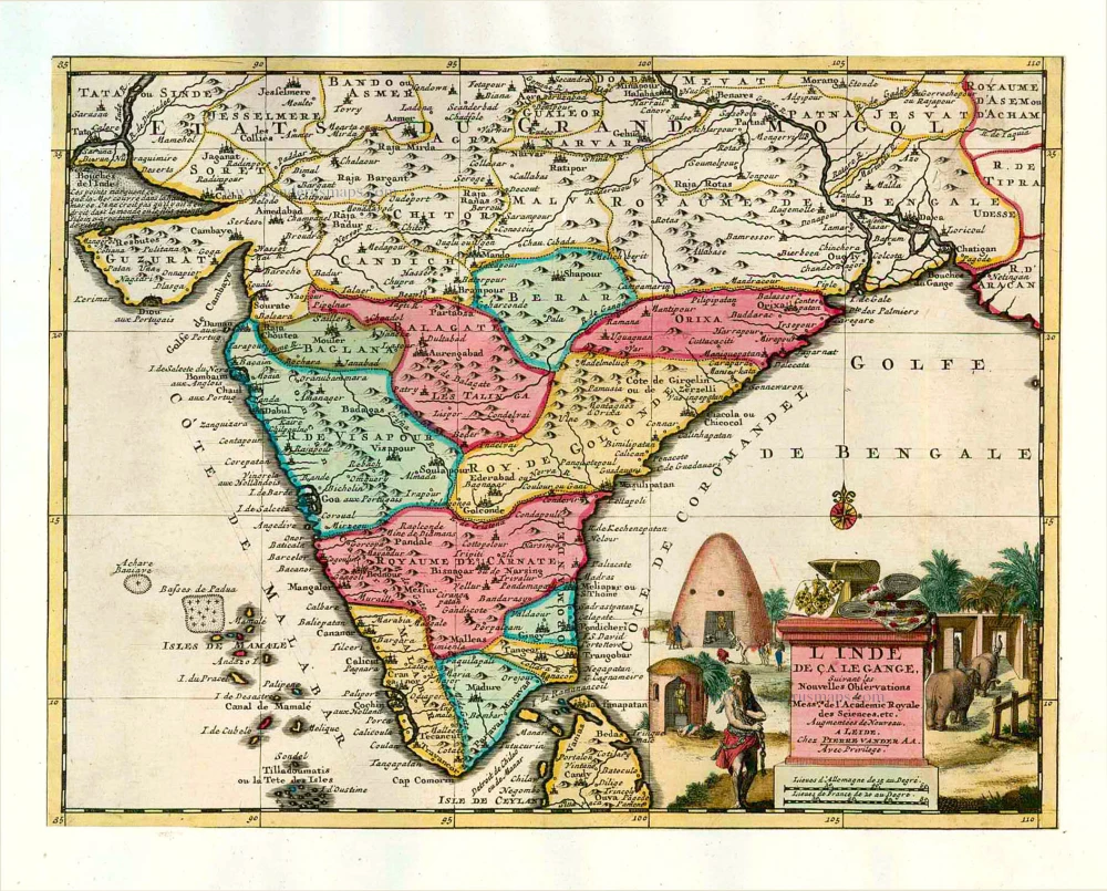
India, by Pieter van der Aa.

L'Inde de ça le Gange. 1713
India, by Pieter van der Aa.
[Item number: 26107]

€600  ($654 / £504)
The gulf of Cambay and the coast of Surat. by P. Van der Aa

Le Golfe de Cambaye et la Rade de Suratte, tres exactement representez sur les meilleures Cartes modernes. 1713
The gulf of Cambay and the coast of Surat. by P. Van der Aa
[Item number: 26113]

€350  ($381.5 / £294)
India, by Giovanni Magini

Tabula Asiae XI. 1597
India, by Giovanni Magini
[Item number: 26522]

€280  ($305.2 / £235.2)
India & Ceylon, by Homann Heirs.

Peninsula Indiae citra Gangem, hoc est Orae Celeberrimae Malabar & Coromandel. Cum Adjacente Insula non Minus Celebratissima Ceylon. c. 1737
India & Ceylon, by Homann Heirs.
[Item number: 26752]

€450  ($490.5 / £378)
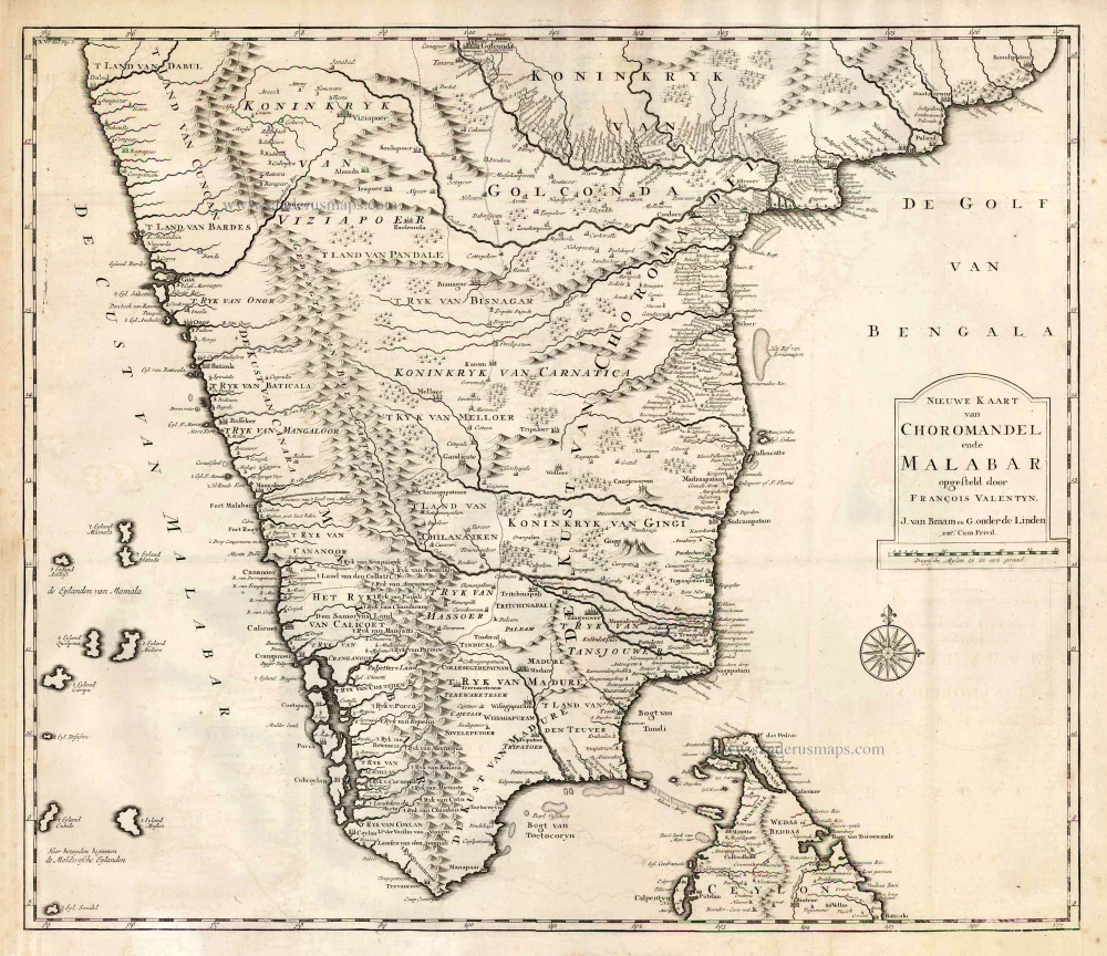
Southern India, by François Valentyn (Valentijn).

Nieuwe kaart van Choromandel ende Malabar. 1724-26
Southern India, by François Valentyn (Valentijn).
[Item number: 26896]

€360  ($392.4 / £302.4)
South Asia by Lorenz Fries.

Fries 1525 edition of the first modern map of Southeast Asia
Tab. Moderna Indiae. 1525
South Asia by Lorenz Fries.
[Item number: 27929]

€2800  ($3052 / £2352)
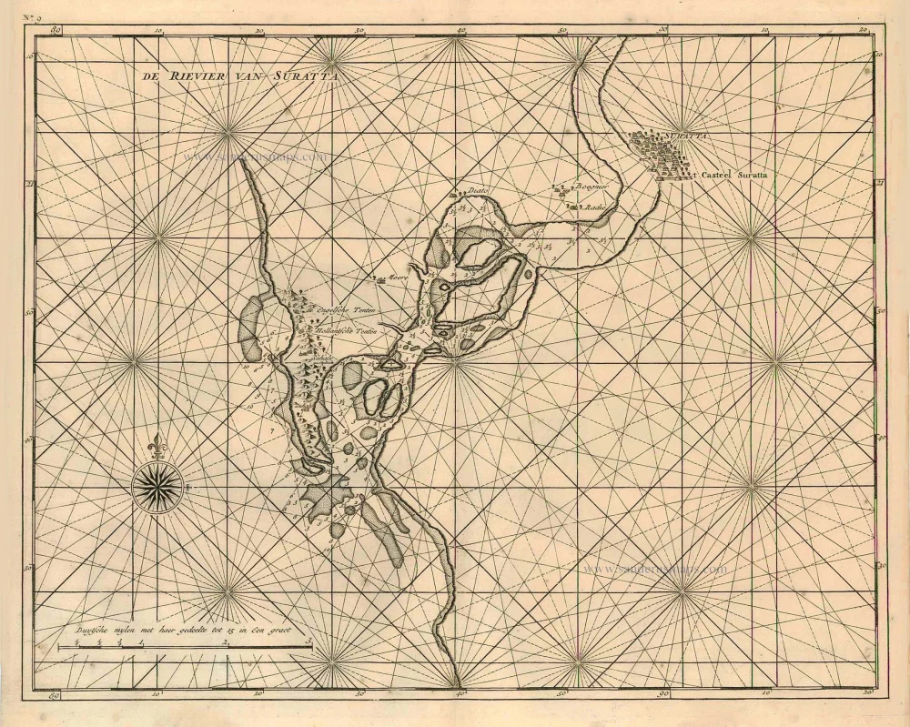
Surat (India), by François Valentyn (Valentijn).

De rivier van Suratta. 1726
Surat (India), by François Valentyn (Valentijn).
[Item number: 27940]

€300  ($327 / £252)
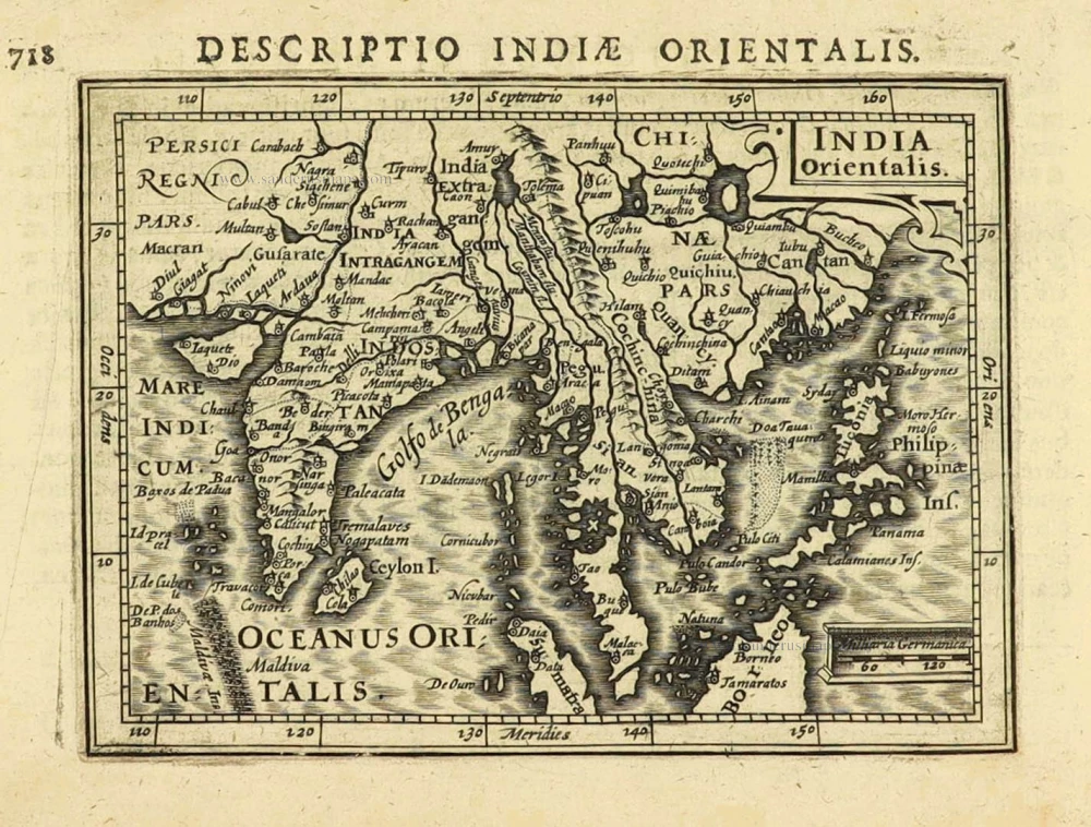
East Indies by Petrus Bertius.

India Orientalis. 1616
East Indies by Petrus Bertius.
[Item number: 28162]

€240  ($261.6 / £201.6)
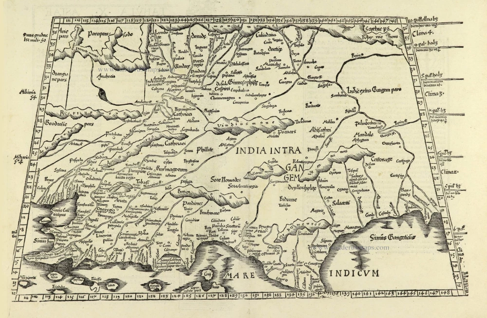
Ptolemy map of India by Lorenz Fries, after Martin Waldseemüller.

Tabula .X. Asiae. [On verso] 1525
Ptolemy map of India by Lorenz Fries, after Martin Waldseemüller.
[Item number: 28198]

€750  ($817.5 / £630)
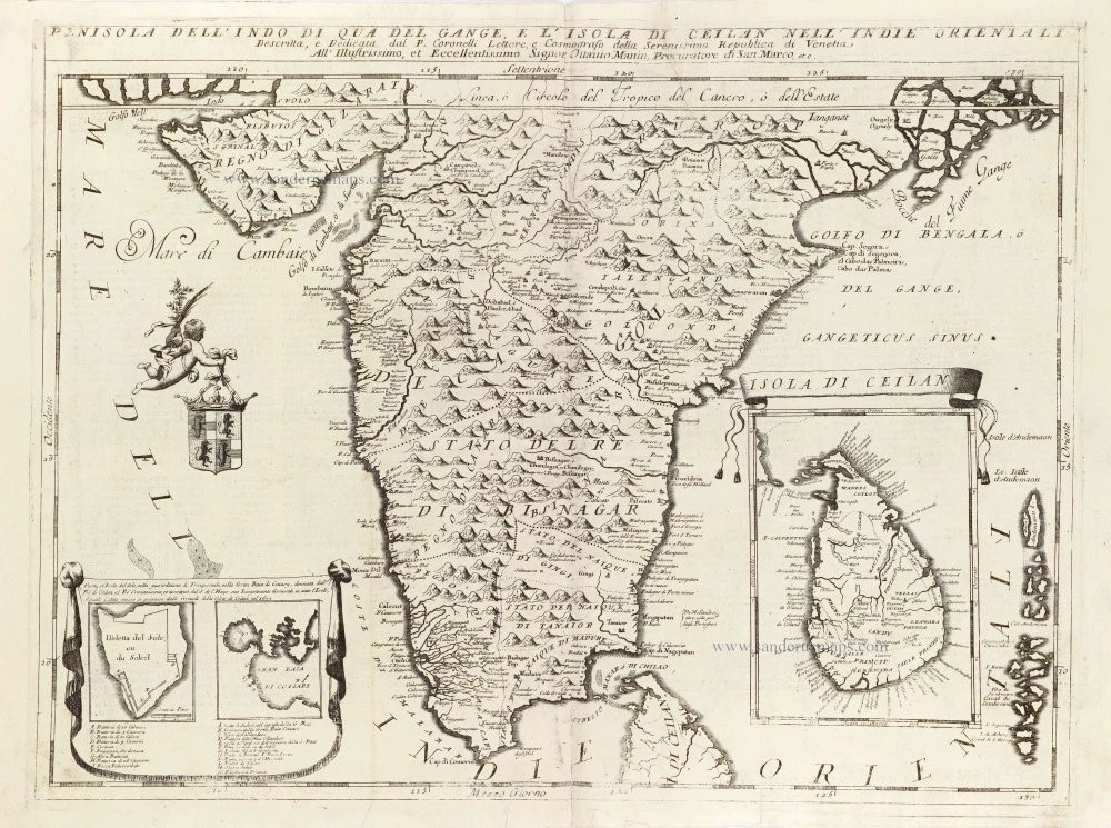
India - Ceylon (Sri Lanka) by Vincenzo Coronelli.

Penisola dell'Indo di qua del Gange, e l'Isola di Ceilan nell'Indie Orientali. 1696
India - Ceylon (Sri Lanka) by Vincenzo Coronelli.
[Item number: 28674]

€650  ($708.5 / £546)
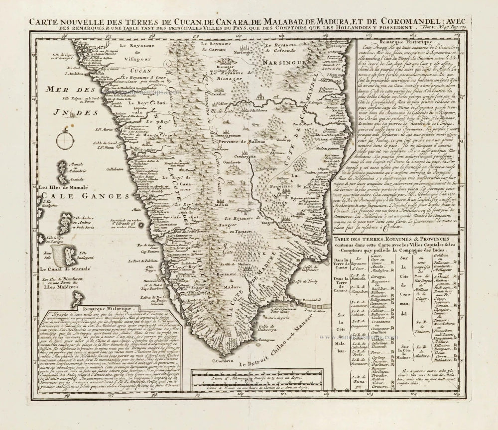
Southern India, by Z. Châtelain.

Carte Nouvelle des Terres de Cucan, de Canara, de Malabar, de Madura, et de Coromandel: 1719
Southern India, by Z. Châtelain.
[Item number: 29378]

€350  ($381.5 / £294)
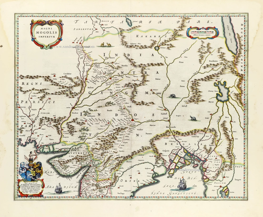
India, by Joan Blaeu.

Magni Mogolis Imperium. 1640
India, by Joan Blaeu.
[Item number: 30140]

€700  ($763 / £588)
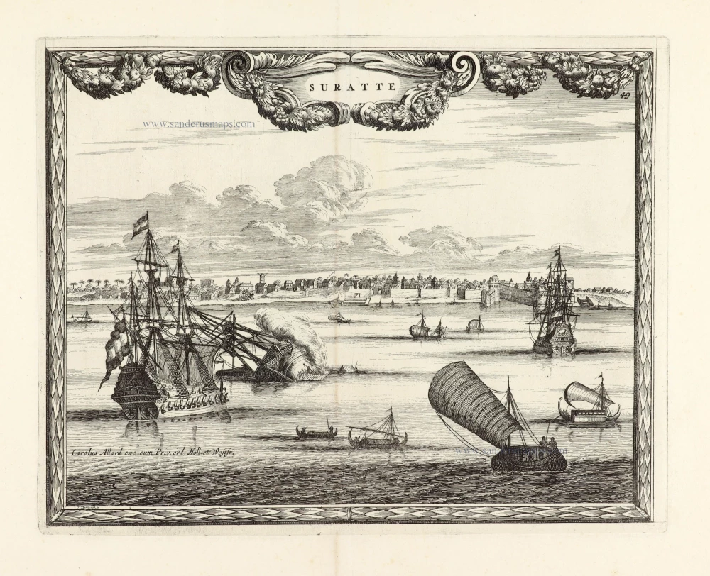
View of Surat (India), by Carel Allard.

SCARCE !
Suratte. 1685/90
View of Surat (India), by Carel Allard.
[Item number: 30590]

€700  ($763 / £588)
Ptolemy map of southern Asia by Lorenz Fries, after Martin Waldseemüller.

Rare 1525 edition in nice old colour.
[No titel - from verso:] Tab. Moderna Indiae. 1525
Ptolemy map of southern Asia by Lorenz Fries, after Martin Waldseemüller.
[Item number: 30650]

€4500  ($4905 / £3780)