
Old, antique map of America by S. Munster. 1550


Tabula novarum insularum ...
Item Number: 2527 Authenticity Guarantee
Category: Antique maps > Asia > Japan
Old, antique map of America by S. Munster.
Date of the first edition: 1540
Date of this map: 1550
Woodcut
Size: 25.5 x 34.5cm (9.9 x 13.5 inches)
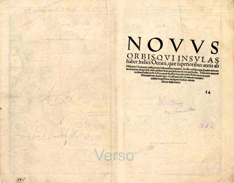
Verso text: Latin
Condition: Centrefold reinforced.
Condition Rating: A
References: Burden, 12, 5th State.
From: Geographia Universalis. Basel, 1550.
In 1540 Sebastian Munster, who was to become one of the most influential cartographers in the sixteenth century, published his edition of Ptolemy's Geography with a further section of modern, more up to date maps. He included for the first time a set of continental maps, the America was the earliest of any note. The map's inclusion in Münsters Cosmography, first published in 1544, sealed the fate of "America" as the name for the New World.
The Portuguese flag is shown flying over the South Atlantic and the Spanish one over her possessions in the Caribbean. The Strait of Magellan are named again, and Mare pacificum appears for the first time on a printed maps. Magellan's ship Victoria, the only survivor of five vessels, appears in the middle of this ocean. Marco Polo's influence can be seen with Zipangri (Japan) appearing three years before the earliest known contact with Europeans, and also his Archipelagus 7448 insularu. The Yucatan is still shown as an island and the lake at Temistitan is depicted emptying into the Gulf of Mexico.
North America is not shown as accurately as the southern half of the continent, it had to a large extent been neglected so far by explorers. When Giovanni di Verrazzano, in the service of Francis I of France, passed by the Outer Banks of the Carolinas in 1524 he mistook Pamlico and Albemarle Sounds for the 'Oriental Sea' that led to Cathay and the rich Spice Islands. Here Münster perpetuates this error and through the success of this book provided a huge impetus to the exploration of the region. The only placenames occuring here are C.Britonum, marking England's early explorations, Corterati, probably Newfoundland after the Corte Reals, and Terra florida. FRANCISCA is named in honour of Francis I. (Burden)