This product is successfully added to your cart
Questions about this product? (#28484)

Authenticity Guarantee
All items are guaranteed authentic prints (woodcuts or engravings) or manuscripts made at or about (c.) the given date and in good condition unless stated otherwise. We don’t sell facsimiles or reproductions. We deliver every map with a Certificate of Authenticity containing all the details.

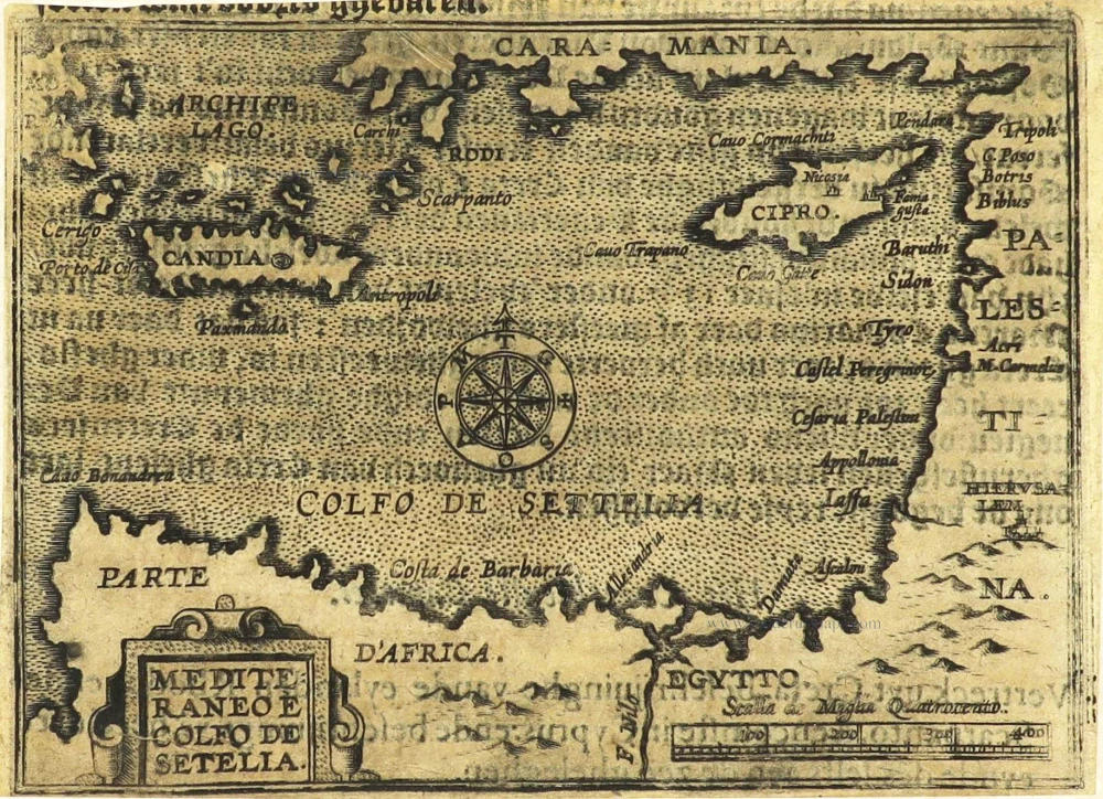
Eastern Mediterranean Sea by Jean Zuallart. c. 1604

Jean Zuallart (1541-1634)

Jean Zuallart was mayor of the town of Ath in Hainaut, Belgium, from 1584 to 1634. He made the pilgrimage to the Holy Land in 1586. He was in Rome in 1585, accompanying Philippe de Mérode, Baron of Frentzen, in his tour of Italy and Germany when de Merode suggested that they travel to Palestine. To gain an income, Zuallart learned to draw in four months and was thus able to illustrate the account of his pilgrimage, thus setting it apart from similar works and ensuring a success that led to several reeditions.

back

Mediteraneo e Colfo de Setelia.

€200  ($224 / £168)
add to cart
Buy now
questions?
PRINT

Item Number:  28484 Authenticity Guarantee

Category:  Antique maps > Asia > Turkey - Cyprus

Old, antique map of the Eastern Mediterranean Sea, by Zuallart Jean. - RARE !

Title: Mediteraneo e Colfo de Setelia.

Date of the first edition: 1587.
Date of this map: c. 1604.

Copper engraving, printed on paper.
Size (not including margins): 90 x 125mm (3.54 x 4.92 inches).
Verso: Dutch text.
Condition: Backed with paper, shine-through of verso text.
Condition Rating: A.
References: Zacharakis, 3745/2412

From: Zuallart J. Le très dévot voyage de Jérusalem, ... Antwerp, Van Keerbergen, 1604. - Dutch edition (?).

Since this small print has a Dutch text on the back, it must come from an unknown (?) Dutch edition of this book.

Jean Zuallart (1541-1634)

Jean Zuallart was mayor of the town of Ath in Hainaut, Belgium, from 1584 to 1634. He made the pilgrimage to the Holy Land in 1586. He was in Rome in 1585, accompanying Philippe de Mérode, Baron of Frentzen, in his tour of Italy and Germany when de Merode suggested that they travel to Palestine. To gain an income, Zuallart learned to draw in four months and was thus able to illustrate the account of his pilgrimage, thus setting it apart from similar works and ensuring a success that led to several reeditions.
References: Zacharakis - 3745/2412

Related items

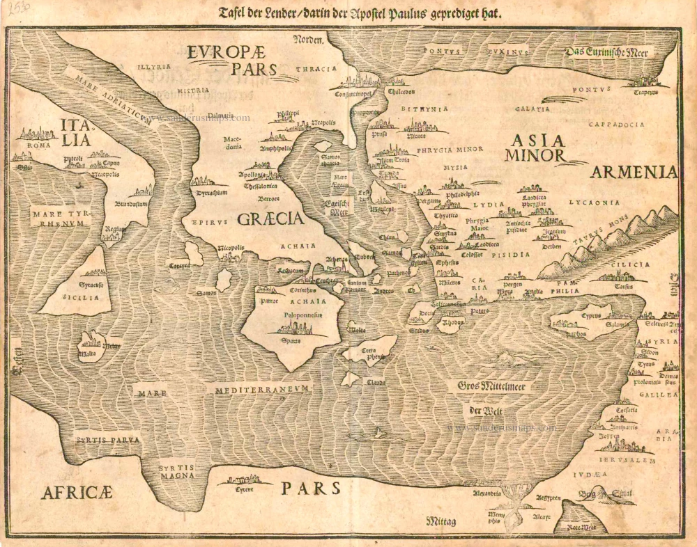
Eastern part of the Mediterranean Sea, by Heinrich Bünting.

Tafel der Lender darin der Apostel Paulus geprediget hat. 1581
Eastern part of the Mediterranean Sea, by Heinrich Bünting.
[Item number: 2530]

€400  ($448 / £336)
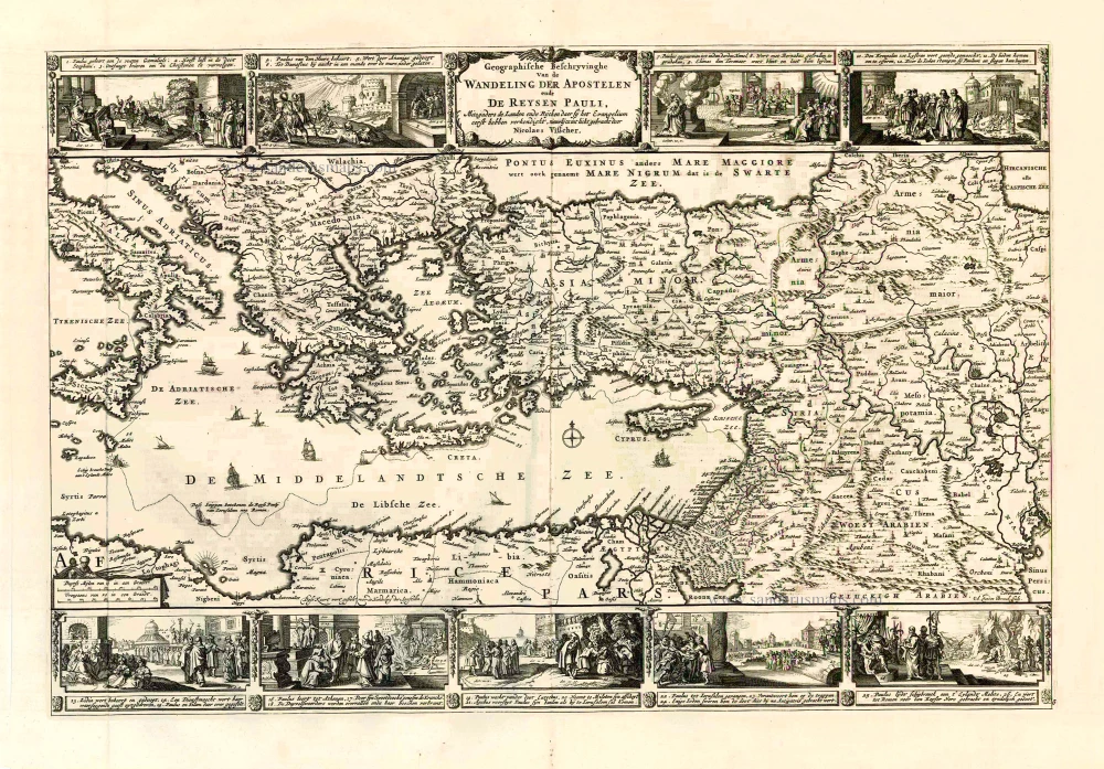
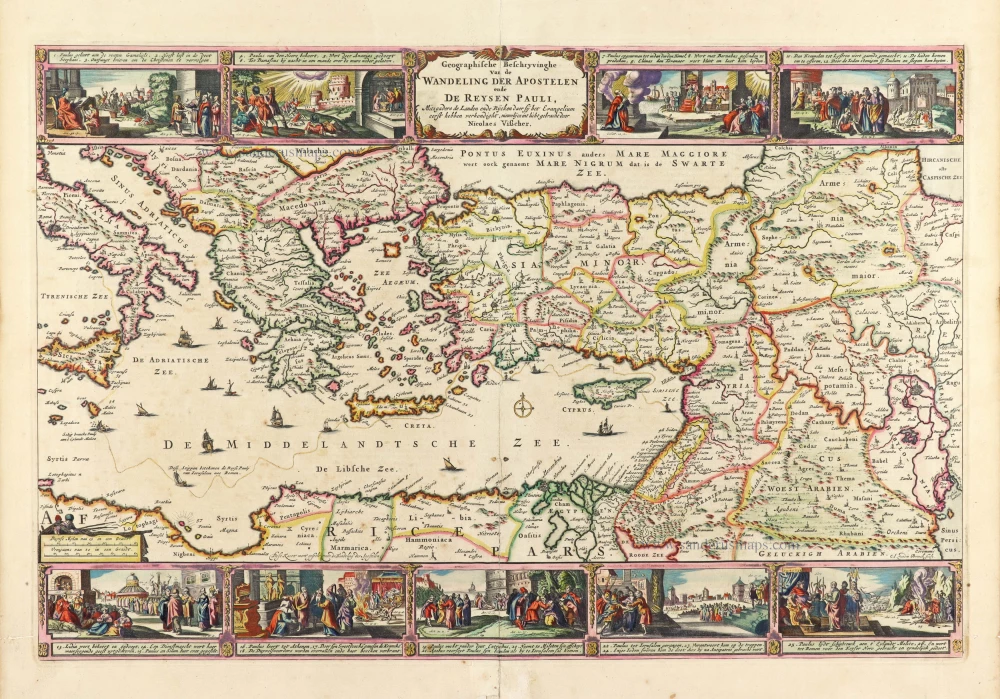
Eastern Mediterranean Sea, by Nicolaes Visscher I.

Geografische Beschryvinghe van de Wandeling der Apostelen ende De Reysen Pauli, Mitsgaders de Landen ende Rijcken daer sij het Evangelium eerst hebben verkondight. ... c. 1664
Eastern Mediterranean Sea, by Nicolaes Visscher I.
[Item number: 27590]

€420  ($470.4 / £352.8)
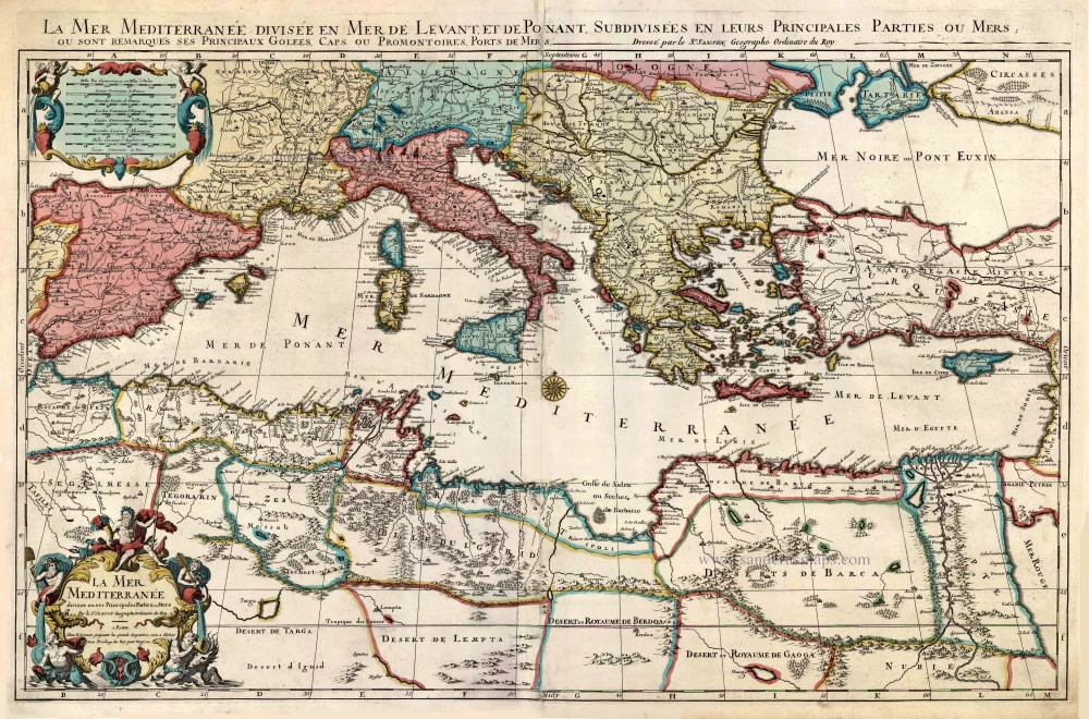
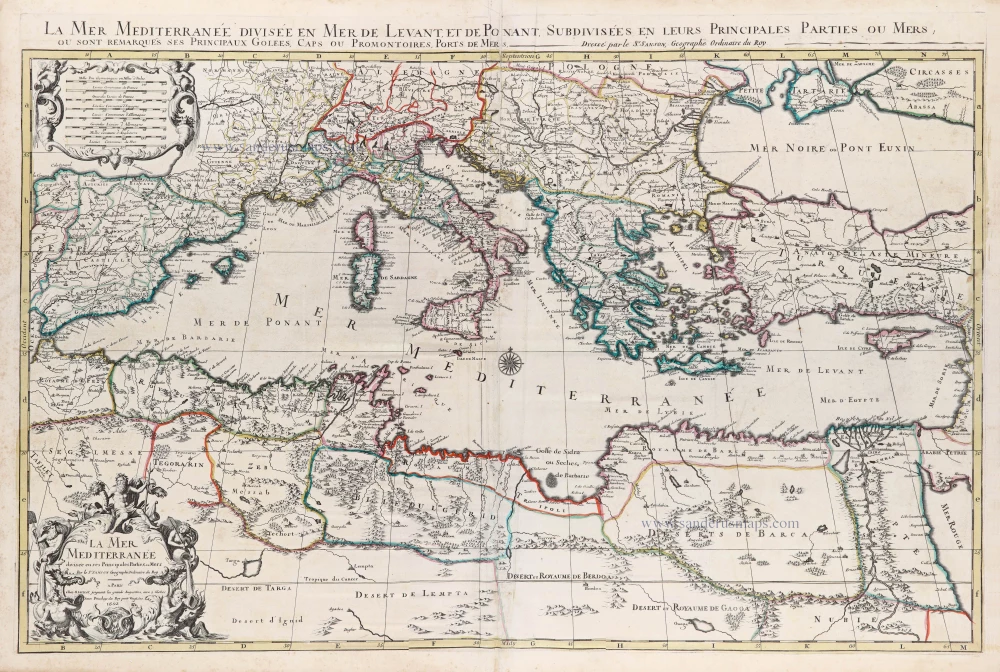
Mediterranean Sea by Pieter (Pierre) Mortier

La Mer Mediterranee Divisee en ses Principales Parties ou Mers. c. 1705
Mediterranean Sea by Pieter (Pierre) Mortier
[Item number: 27767]

€1500  ($1680 / £1260)
Eastern Roman Empire by Nicolas Sanson.

Romani Imperii qua Oriens est Descriptio Geographica. 1700-1710
Eastern Roman Empire by Nicolas Sanson.
[Item number: 28527]

€350  ($392 / £294)
Paulus's Travels by Abraham Ortelius.

Parergon map
Peregrinationis Divi Pauli Typus Chorographicus. 1598
Paulus's Travels by Abraham Ortelius.
[Item number: 28920]

€1500  ($1680 / £1260)
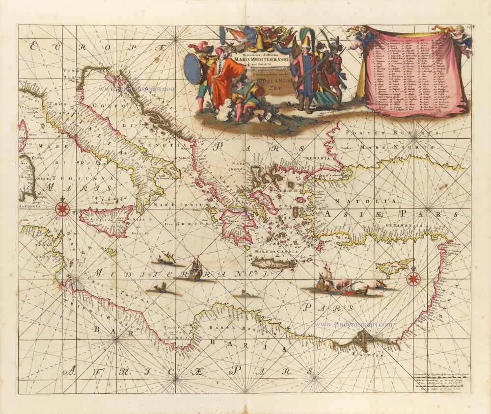
Western Mediterranean Sea, by Frederick de Wit.

Orientalior districtus Maris Mediterranei. = t' Ooster gedeelte van de Middelandse Zee. c. 1689-90
Western Mediterranean Sea, by Frederick de Wit.
[Item number: 29247]

€1800  ($2016 / £1512)
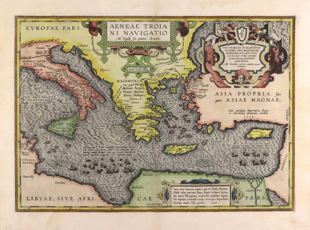
Aenea's travels by Abraham Ortelius.

Aeneae Troiani Navigatio Ad Vergilij sex priores Aeneidos. 1595
Aenea's travels by Abraham Ortelius.
[Item number: 29470]

€1350  ($1512 / £1134)
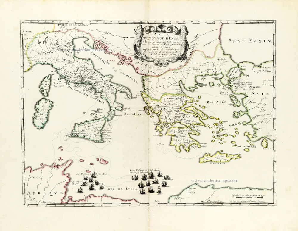
Aeneas's Travels by Pierre Duval.

*** Rare first edition ***
Carte du voyage d'Enée Et de tous les Lieux qui sont nommez dans les Oeuvres de Virgile, pour bien entendre cet Auteur. 1655
Aeneas's Travels by Pierre Duval.
[Item number: 30037]

€400  ($448 / £336)
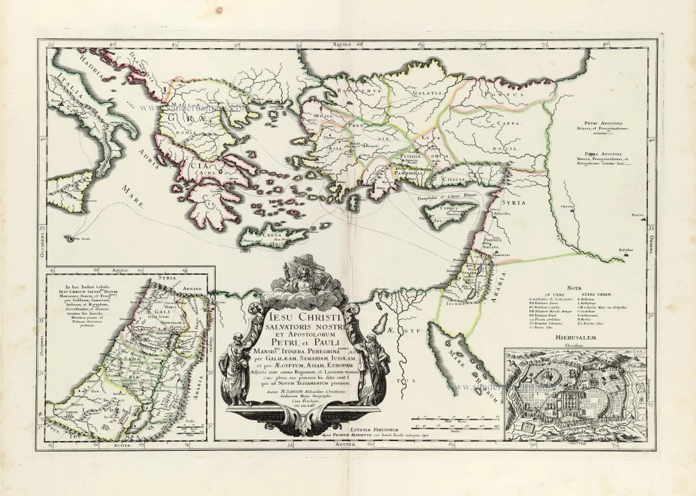
Eastern Mediterranean by Nicolas Sanson.

Iesu Christi salvatoris nostri apostolorum Petri, et Pauli mansiones, itinera, peregrinationes &c. per Galilaeam, Samariam, Iudaeam, et per Aegyptum, Asiam, Europam. 1665
Eastern Mediterranean by Nicolas Sanson.
[Item number: 30044]

€380  ($425.6 / £319.2)
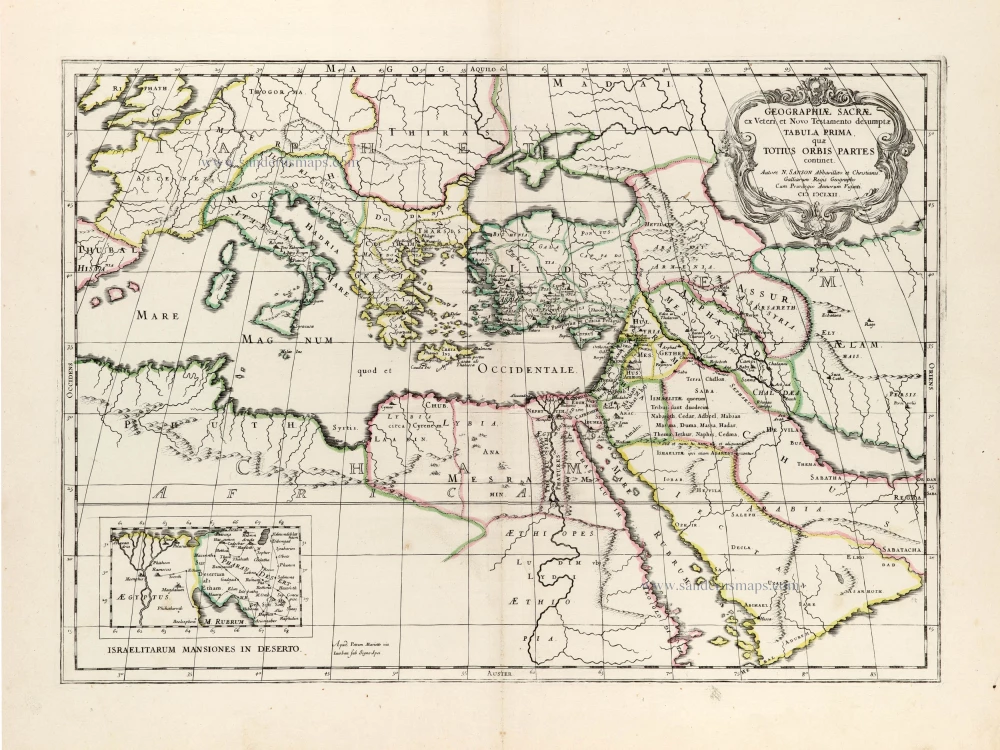
Eastern Mediterranean by Nicolas Sanson, published by Pierre Mariette.

Geographiae Sacrae ex Veteri et Novo Testamento desumptae Tabula Prima, quae Totius Orbis Partet continet. 1665
Eastern Mediterranean by Nicolas Sanson, published by Pierre Mariette.
[Item number: 30075]

€340  ($380.8 / £285.6)
Europe by Nicolas Sanson, published by Pierre Mariette

Map locating the Church Synods
Geographia Synodica, sive regionum, urbium, et locorum ubi celebrata sunt concilia oecumenica, nationalia, provincialia et synodi dioecesanae; Tabula geographica prima, quae totius orbis partes continet. 1667
Europe by Nicolas Sanson, published by Pierre Mariette
[Item number: 30117]

€280  ($313.6 / £235.2)
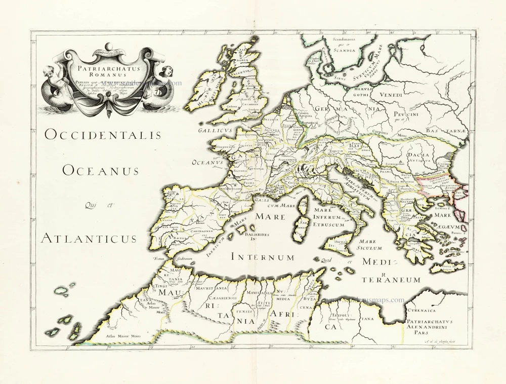
Roman Empire in Europe, published by Melchior Tavernier.

Patriarchatus Romanus c. 1632
Roman Empire in Europe, published by Melchior Tavernier.
[Item number: 30118]

€300  ($336 / £252)
The roaming of Jason and his Argonauts in the Mediterranean Sea, by Abraham Ortelius.

Parergon map
Argonautica. 1603
The roaming of Jason and his Argonauts in the Mediterranean Sea, by Abraham Ortelius.
[Item number: 30179]

€1600  ($1792 / £1344)
Eastern Mediterranean Sea, by Nicolaes Visscher I.

Superb old colouring, heightened with gold.
Geografische Beschryvinghe van de Wandeling der Apostelen ende De Reysen Pauli, Mitsgaders de Landen ende Rijcken daer sij het Evangelium eerst hebben verkondight. ... 1663
Eastern Mediterranean Sea, by Nicolaes Visscher I.
[Item number: 30537]

€950  ($1064 / £798)
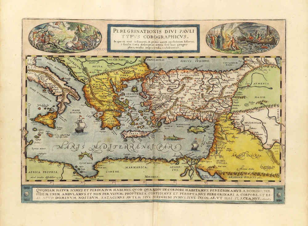
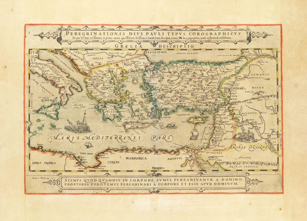
The peregrinations of St. Paul in the Eastern Mediterranean, by Jacques Honervogt after Abraham Ortelius.

Rare map showing the peregrinations of St. Paul.
Peregrinationis Divi Pauli Typus Corographicus In quo & novi testamenti, in primis autem apostulorum historiae, à Sancto Luca descriptae, omnia fere loca geographica, oculis inspicienda exhibentur. c. 1630-1650
The peregrinations of St. Paul in the Eastern Mediterranean, by Jacques Honervogt after Abraham Ortelius.
[Item number: 30854]  new

€1800  ($2016 / £1512)