This product is successfully added to your cart
Questions about this product? (#30118)

Authenticity Guarantee
All items are guaranteed authentic prints (woodcuts or engravings) or manuscripts made at or about (c.) the given date and in good condition unless stated otherwise. We don’t sell facsimiles or reproductions. We deliver every map with a Certificate of Authenticity containing all the details.

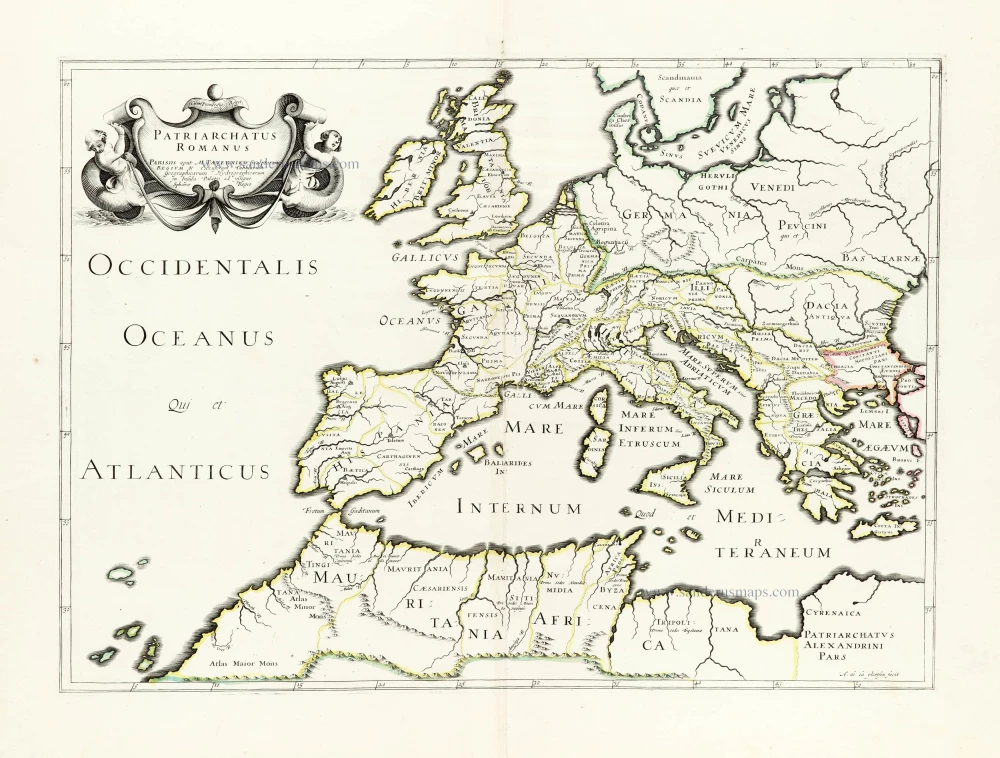
Roman Empire in Europe, published by Melchior Tavernier. c. 1632

Melchior Tavernier I the elder (1564-1641)

'Graveur et imprimeur ordinaire du Roy', brother of Gabriel.

Gabriel Tavernier (1566-1610)

Flemish engraver.

Melchior Tavernier II the younger (1594-1665)

Son of Gabriel. Engraver, mapseller and publisher 'dans l'Isle du Palais à la Sphère Royale', Paris. He sold most of his plates and equipment to Pierre Mariette in 1644.

Jean Baptiste Tavernier (1605-1789)

Brother of Melchior. Began as a bookseller 'sur le quai de l'Horloge aux Trois Estoiles' à Paris. Became later a merchant, diplomat and traveller in Turkey, Persia, central Asia and the East Indies.

back

Patriarchatus Romanus

€300  ($327 / £252)
add to cart
Buy now
questions?
PRINT

Item Number:  30118 Authenticity Guarantee

Category:  Antique maps > Europe > Europe Continent

Old, antique map of the Roman Empire in Europe, published by Melchior Tavernier.

Title: Patriarchatus Romanus.
Parisiis aput M. Tavernier Scalptorem Regium & Excusorum Tabularum Geographicarum Hydrographicarum in Insula Palatij ad insegne Sphaerae Regio.
Cum privilegio Regis.
A. de la plaetsen fecit.


Cartographer: Abraham de la Plaetsen.

Date: c. 1632.

Copper engraving, printed on paper.
Image size: 375 x 520mm (14.76 x 20.47 inches).
Sheet size: 490 x 640mm (19.29 x 25.2 inches).
Verso: Blank.
Condition: Original coloured in outline, excellent.
Condition Rating: A+.

Separate publication

Melchior Tavernier I the elder (1564-1641)

'Graveur et imprimeur ordinaire du Roy', brother of Gabriel.

Gabriel Tavernier (1566-1610)

Flemish engraver.

Melchior Tavernier II the younger (1594-1665)

Son of Gabriel. Engraver, mapseller and publisher 'dans l'Isle du Palais à la Sphère Royale', Paris. He sold most of his plates and equipment to Pierre Mariette in 1644.

Jean Baptiste Tavernier (1605-1789)

Brother of Melchior. Began as a bookseller 'sur le quai de l'Horloge aux Trois Estoiles' à Paris. Became later a merchant, diplomat and traveller in Turkey, Persia, central Asia and the East Indies.

Related items

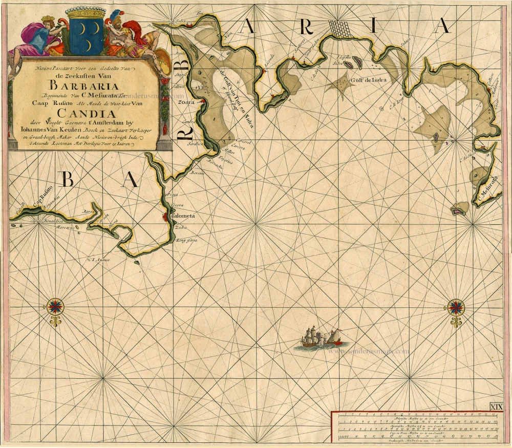
Sea chart of the coasts of Morocco, by Johannes Van Keulen.

Nieuwe Pascaart voor een Gedeelte van de Zeekusten van Barbaria Beginnende van C. Mesurata tot Caap Rusato Als mede de West-kust van Candia. 1697-1709
Sea chart of the coasts of Morocco, by Johannes Van Keulen.
[Item number: 6506]

€400  ($436 / £336)
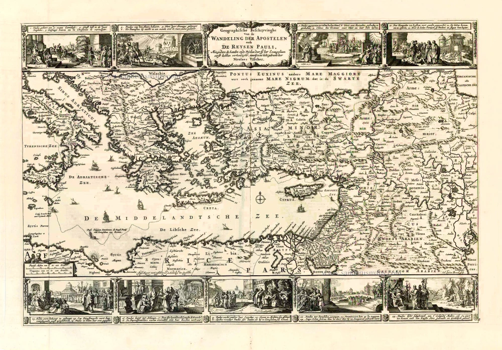
Eastern Mediterranean Sea, by Nicolaes Visscher I.

Geografische Beschryvinghe van de Wandeling der Apostelen ende De Reysen Pauli, Mitsgaders de Landen ende Rijcken daer sij het Evangelium eerst hebben verkondight. ... c. 1664
Eastern Mediterranean Sea, by Nicolaes Visscher I.
[Item number: 27590]

€420  ($457.8 / £352.8)
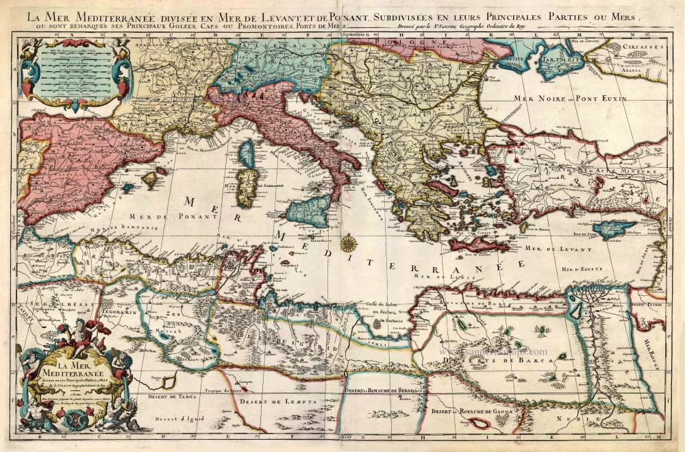
Mediterranean Sea by Pieter (Pierre) Mortier

La Mer Mediterranee Divisee en ses Principales Parties ou Mers. c. 1705
Mediterranean Sea by Pieter (Pierre) Mortier
[Item number: 27767]

€1500  ($1635 / £1260)
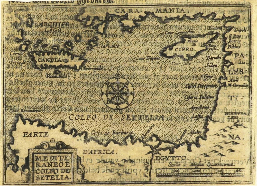
Eastern Mediterranean Sea by Jean Zuallart.

Mediteraneo e Colfo de Setelia. c. 1604
Eastern Mediterranean Sea by Jean Zuallart.
[Item number: 28484]

€200  ($218 / £168)
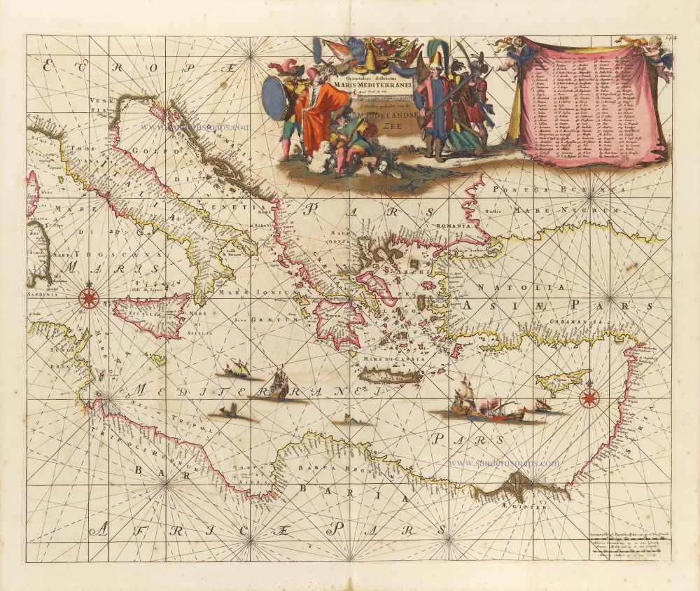
Western Mediterranean Sea, by Frederick de Wit.

Orientalior districtus Maris Mediterranei. = t' Ooster gedeelte van de Middelandse Zee. c. 1689-90
Western Mediterranean Sea, by Frederick de Wit.
[Item number: 29247]

€1800  ($1962 / £1512)
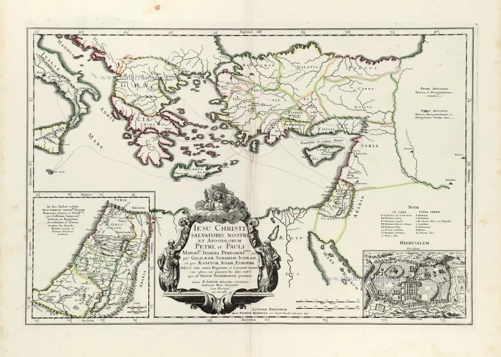
Eastern Mediterranean by Nicolas Sanson.

Iesu Christi salvatoris nostri apostolorum Petri, et Pauli mansiones, itinera, peregrinationes &c. per Galilaeam, Samariam, Iudaeam, et per Aegyptum, Asiam, Europam. 1665
Eastern Mediterranean by Nicolas Sanson.
[Item number: 30044]

€380  ($414.2 / £319.2)
Europe & Mediterranean Sea by Nicolas & Guillaume Sanson.

Geographia Patriarchalis Tabula Geographica in Epitomen Contracta; in quo Patriarchatus Antiqui Romanus, Constantinopolitanus, Alexandrinus Antiochenus, et Ierosolymitanus; ... 1669
Europe & Mediterranean Sea by Nicolas & Guillaume Sanson.
[Item number: 30049]

€300  ($327 / £252)
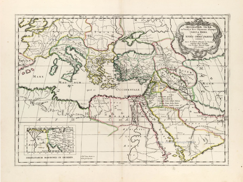
Eastern Mediterranean by Nicolas Sanson, published by Pierre Mariette.

Geographiae Sacrae ex Veteri et Novo Testamento desumptae Tabula Prima, quae Totius Orbis Partet continet. 1665
Eastern Mediterranean by Nicolas Sanson, published by Pierre Mariette.
[Item number: 30075]

€340  ($370.6 / £285.6)
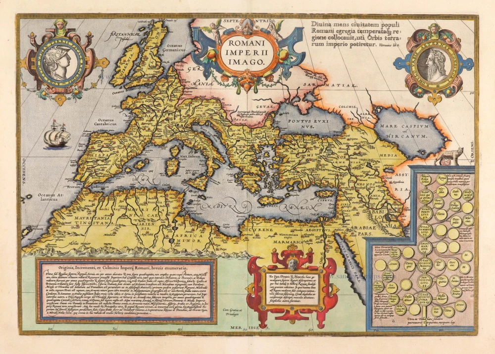
Roman Empire by Abraham Ortelius.

Parergon map
Romani Imperii Imago. 1595
Roman Empire by Abraham Ortelius.
[Item number: 30641]

€2200  ($2398 / £1848)
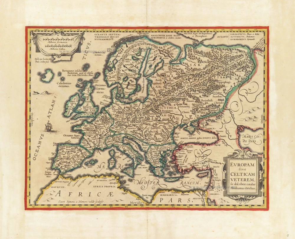
Europe by Evert van Hamersveldt, published by Johannes Janssonius.

Scarce map
Europam sive Celticam Veterem c. 1630-1650
Europe by Evert van Hamersveldt, published by Johannes Janssonius.
[Item number: 30838]

€600  ($654 / £504)
Europe by Petrus Bertius, published by Melchior Tavernier.

Carte de L'Europe, corrigée et augmentée dessus toutes les autres cy devant faictes c. 1630-1650
Europe by Petrus Bertius, published by Melchior Tavernier.
[Item number: 30839]

€800  ($872 / £672)
Roman Empire by Henri Le Roy, after A. Ortelius.

Scarce first edition.
Romanum Imperium ex Abrahami Ortelii parergo a mendis quae irrepserant vindicatum. c. 1630-1650
Roman Empire by Henri Le Roy, after A. Ortelius.
[Item number: 30853]

€1150  ($1253.5 / £966)