
Old antique map of the British Isles by Martin Waldseemüller. 1513

One of the first acquirable, separate maps of the British Isles based on modern toponymy, rather than the classical place names of Ptolemy.
The Strassbourg Ptolemy is the most important edition of the Geographia. Preparatory work was begun in about 1505 by Martin Waldseemüller, scholar-geographer of the small town of St. Dié in Lorraine, together with his associate Mathias Ringmann. Waldseemüller is believed to have incised many of the maps himseld; all are firm distinctive woodcuts. By 1507 much progress had been made but the project was delayed and was not completed until 1513 under the editorship of Jacob Eszler and Georg Ubelin. The printer was Johann Schott, and the work, the first modern atlas, bears a dedication to the Emperor Maximilian.
Waldseemüller used as his sources one or more Italian portolani charts but without necessarily taking advantage of the most up-to-date information available.
Of particular interest is the island of Brazil off the west coast of Ireland which, although purely a mythical conception, continued to appear on many maps for the next 100 years.
Tabula Nova Hibernie Anglie et Scotie.
Item Number: 954 Authenticity Guarantee
Category: Antique maps > Europe > British Isles
Old, antique "modern" Ptolemy map of the British Isles by Martin Waldseemüller. RARE
Date of the first edition: 1513
Date of this map: 1513
Woodcut
Size (including title, not including margins): 37.5 x 51.5cm (14.6 x 20.1 inches)
Verso: Blank
Condition: A number of wormholes filled.
Condition Rating: B+
References: Karrow, 80/34; Shirley (BI to 1650), #11; .
From: Claudii Ptolemei viri Alexandrini Mathematice discipline Philosophi dictissimi Geographiae opus novissima . . . Strassburg, J. Schott, 1513.
One of the first acquirable, separate maps of the British Isles based on modern toponymy, rather than the classical place names of Ptolemy.
The Strassbourg Ptolemy is the most important edition of the Geographia. Preparatory work was begun in about 1505 by Martin Waldseemüller, scholar-geographer of the small town of St. Dié in Lorraine, together with his associate Mathias Ringmann. Waldseemüller is believed to have incised many of the maps himself; all are firm distinctive woodcuts. By 1507 much progress had been made but the project was delayed and was not completed until 1513 under the editorship of Jacob Eszler and Georg Ubelin. The printer was Johann Schott, and the work, the first modern atlas, bears a dedication to the Emperor Maximilian.
Waldseemüller used as his sources one or more Italian portolani charts but without necessarily taking advantage of the most up-to-date information available.
Of particular interest is the island of Brazil off the west coast of Ireland which, although purely a mythical conception, continued to appear on many maps for the next 100 years.
One of the first acquirable, separate maps of the British Isles based on modern toponymy, rather than the classical place names of Ptolemy.
The Strassbourg Ptolemy is the most important edition of the Geographia. Preparatory work was begun in about 1505 by Martin Waldseemüller, scholar-geographer of the small town of St. Dié in Lorraine, together with his associate Mathias Ringmann. Waldseemüller is believed to have incised many of the maps himseld; all are firm distinctive woodcuts. By 1507 much progress had been made but the project was delayed and was not completed until 1513 under the editorship of Jacob Eszler and Georg Ubelin. The printer was Johann Schott, and the work, the first modern atlas, bears a dedication to the Emperor Maximilian.
Waldseemüller used as his sources one or more Italian portolani charts but without necessarily taking advantage of the most up-to-date information available.
Of particular interest is the island of Brazil off the west coast of Ireland which, although purely a mythical conception, continued to appear on many maps for the next 100 years.
Related items

Paskaart van 't Canaal Engelandt Schotlandt en Yrland 1697-1709
British Isles, by Van Keulen Johannes.
[Item number: 5817]
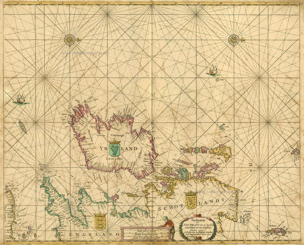
Paskaarte om achter Yrlant om te Zeylen van Hitlant tot aen Heyssant. 1665
British Isles, by Hendrik Doncker.
[Item number: 18567]

Angliae, Scotiae, et Hiberniae, sive Britannicae Insularum Descriptio. 1601
The British Isles, by Ortelius A.
[Item number: 22869]

Les Isles Britanniques ou sont le Royaume D'Angleterre Tiré de Sped Celuy D'Ecosse Tiré de Th. Pont et Celuy D'Irlande Riré de Petti. 1730
British Isles by Guillaume Delisle, published by Covens & Mortier.
[Item number: 25680]

Magnae Britanniae et Hiberniae Tabulae. - Die Britannischen Insulen. 1638
The British Isles, by M. Merian.
[Item number: 25904]