
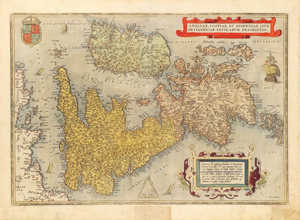
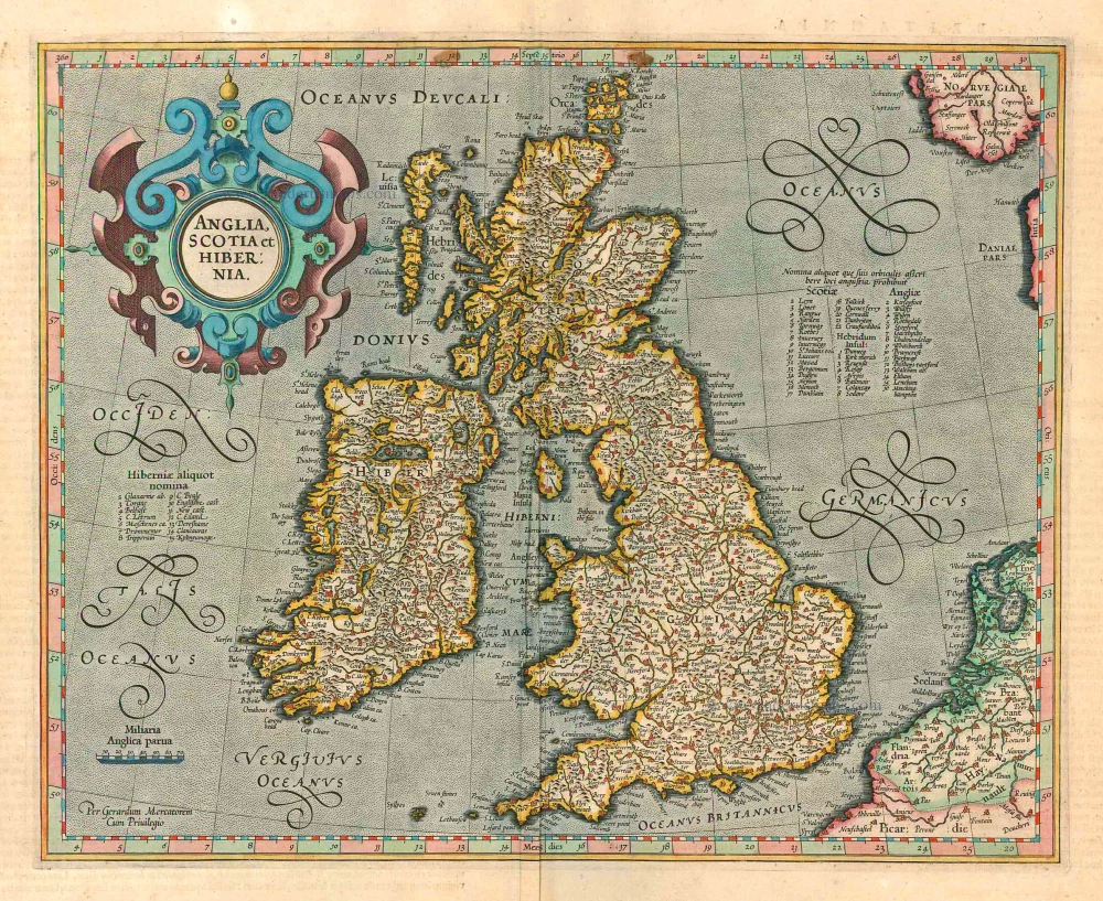
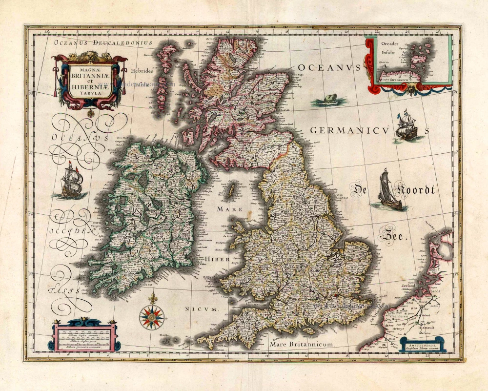
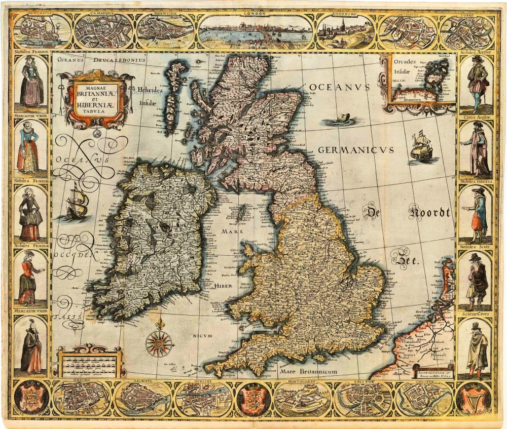
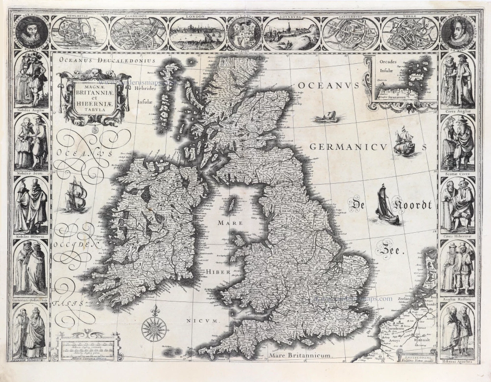
One of the most decorative maps of the British Isles, including a genealogical tree.
The British Isles, by J.B. Vrients. 1608


One of the most decorative maps of the British Isles, including a genealogical tree from William the Conqueror to the time of publication and James I. This rare Vrients map appeared only in the Ortelius editions 1606-1612.
Jan Baptist Vrients 1552-1612
Although Jan Baptist Vrients (Vrintius) was a map- and print-seller and an engraver, he was mainly active as a map publisher. He was enrolled in the Guild of St. Luke in Antwerpen in 1575. He published several cartographic works of great importance, i.e., Petrus Plancius's large world map of 1592. After 1600, he acquired the stock and the plates of De Jode's Speculum and Ortelius' Theatrum. He continued the editions of the Theatrum and those of the Epitome, the plates of which he had acquired from Philip Galle and Johannes Keerbergen. In 1603, Vrients published an atlas of the Netherlands compiled from the Theatrum sheets. When Vrients died in 1612, the whole stock and the copperplates were sold to the Moretus Brothers of the House Plantin, who compiled another three editions of the Theatrum.
Abraham Ortelius (1527-1598)
The maker of the 'first atlas', the Theatrum Orbis Terrarum (1570), was born on 4 April 1527 into an old Antwerp family. He learned Latin and studied Greek and mathematics.
Abraham and his sisters Anne and Elizabeth took up map colouring. He was admitted to the Guild of St. Luke as an "illuminator of maps." Besides colouring maps, Ortelius was a dealer in antiques, coins, maps, and books, with the book and map trade gradually becoming his primary occupation.
Business went well because his means permitted him to start an extensive collection of medals, coins, antiques, and a library of many volumes. In addition, he travelled a lot and visited Italy and France, made contacts everywhere with scholars and editors, and maintained extensive correspondence with them.
In 1564 he published his first map, a large and ambitious world wall map. The inspiration for this map may well have been Gastaldi's large world map. In 1565 he published a map of Egypt and a map of the Holy Land, a large map of Asia followed.
In 1568 the production of individual maps for his atlas Theatrum Orbis Terrarum was already in full swing. He completed the atlas in 1569, and in May of 1570, the Theatrum was available for sale. It was one of the most expensive books ever published.
This first edition contained seventy maps on fifty-three sheets. Franciscus Hogenberg engraved the maps.
Later editions included Additamenta (additions), resulting in Ortelius' historical atlas, the Parergon, mostly bound together with the atlas. The Parergon can be called a truly original work of Ortelius, who drew the maps based on his research.
The importance of the Theatrum Orbis Terrarum for geographical knowledge in the last quarter of the sixteenth century is difficult to overemphasize. Nothing was like it until Mercator's atlas appeared twenty-five years later. Demand for the Theatrum was remarkable. Some 24 editions appeared during Ortelius's lifetime and another ten after his death in 1598. Editions were published in Dutch, German, French, Spanish, English, and Italian. The number of map sheets grew from 53 in 1570 to 167 in 1612 in the last edition.
In 1577, engraver Philip Galle and poet-translator Pieter Heyns published the first pocket-sized edition of the Theatrum, the Epitome. The work was trendy. Over thirty editions of this Epitome were published in different languages.
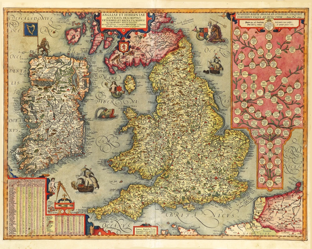
Angliae et Hiberniae Accurata Descriptio, Veteribus et Recentioribus Nominibus Illustrata: ...
Item Number: 29950 Authenticity Guarantee
Category: Antique maps > Europe > British Isles
Old, antique map of the British Isles, by J.B. Vrients.
Title: Angliae et Hiberniae Accurata Descriptio, Veteribus et Recentioribus Nominibus Illustrata: ...
Et ad D. Guliel. Camdeni Britaniam Accomodata.
Nominibus Antiquis * vel praeponitur vel postponitur.
Ioannes Baptista Vrints, Geographicarum tabularum calcographus, excud. Antverpiae.
Dedicated to King James I by J.B. Vrients.
Slip of paper pasted over the dedication to James I, with text: Unum quae ad Dominum Britanniae tota redisti, Una tibi ô redeat sic quoque prica fides.
Only editions 1608 and some 1609 have this slip.
With a genealogical table at the upper right.
Date of the first edition: 1606.
Date of this map: 1608.
Copper engraving, printed on paper.
Image size: 440 x 565mm (17.32 x 22.24 inches).
Sheet size: 470 x 585mm (18.5 x 23.03 inches).
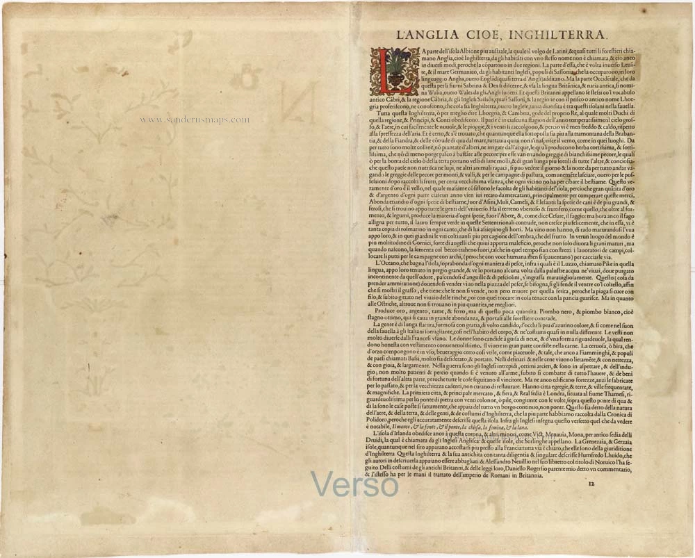
Verso: Italian text.
Condition: Original coloured, heightened with gold, a few small creases at bottom centre.
Condition Rating: A.
From: Theatro del Mondo di Abrahamo Ortelio. Antwerpen, Jan Baptist Vrients, 1608. (Van der Krogt 3, 1:651)
One of the most decorative maps of the British Isles, including a genealogical tree from William the Conqueror to the time of publication and James I. This rare Vrients map appeared only in the Ortelius editions 1606-1612.
Jan Baptist Vrients 1552-1612
Although Jan Baptist Vrients (Vrintius) was a map- and print-seller and an engraver, he was mainly active as a map publisher. He was enrolled in the Guild of St. Luke in Antwerpen in 1575. He published several cartographic works of great importance, i.e., Petrus Plancius's large world map of 1592. After 1600, he acquired the stock and the plates of De Jode's Speculum and Ortelius' Theatrum. He continued the editions of the Theatrum and those of the Epitome, the plates of which he had acquired from Philip Galle and Johannes Keerbergen. In 1603, Vrients published an atlas of the Netherlands compiled from the Theatrum sheets. When Vrients died in 1612, the whole stock and the copperplates were sold to the Moretus Brothers of the House Plantin, who compiled another three editions of the Theatrum.
Abraham Ortelius (1527-1598)
The maker of the 'first atlas', the Theatrum Orbis Terrarum (1570), was born on 4 April 1527 into an old Antwerp family. He learned Latin and studied Greek and mathematics.
Abraham and his sisters Anne and Elizabeth took up map colouring. He was admitted to the Guild of St. Luke as an "illuminator of maps." Besides colouring maps, Ortelius was a dealer in antiques, coins, maps, and books, with the book and map trade gradually becoming his primary occupation.
Business went well because his means permitted him to start an extensive collection of medals, coins, antiques, and a library of many volumes. In addition, he travelled a lot and visited Italy and France, made contacts everywhere with scholars and editors, and maintained extensive correspondence with them.
In 1564 he published his first map, a large and ambitious world wall map. The inspiration for this map may well have been Gastaldi's large world map. In 1565 he published a map of Egypt and a map of the Holy Land, a large map of Asia followed.
In 1568 the production of individual maps for his atlas Theatrum Orbis Terrarum was already in full swing. He completed the atlas in 1569, and in May of 1570, the Theatrum was available for sale. It was one of the most expensive books ever published.
This first edition contained seventy maps on fifty-three sheets. Franciscus Hogenberg engraved the maps.
Later editions included Additamenta (additions), resulting in Ortelius' historical atlas, the Parergon, mostly bound together with the atlas. The Parergon can be called a truly original work of Ortelius, who drew the maps based on his research.
The importance of the Theatrum Orbis Terrarum for geographical knowledge in the last quarter of the sixteenth century is difficult to overemphasize. Nothing was like it until Mercator's atlas appeared twenty-five years later. Demand for the Theatrum was remarkable. Some 24 editions appeared during Ortelius's lifetime and another ten after his death in 1598. Editions were published in Dutch, German, French, Spanish, English, and Italian. The number of map sheets grew from 53 in 1570 to 167 in 1612 in the last edition.
In 1577, engraver Philip Galle and poet-translator Pieter Heyns published the first pocket-sized edition of the Theatrum, the Epitome. The work was trendy. Over thirty editions of this Epitome were published in different languages.
Related items
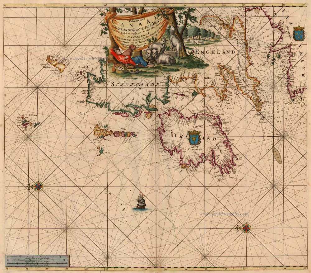
Paskaart van 't Canaal Engelandt Schotlandt en Yrland 1697-1709
British Isles, by Van Keulen Johannes.
[Item number: 5817]
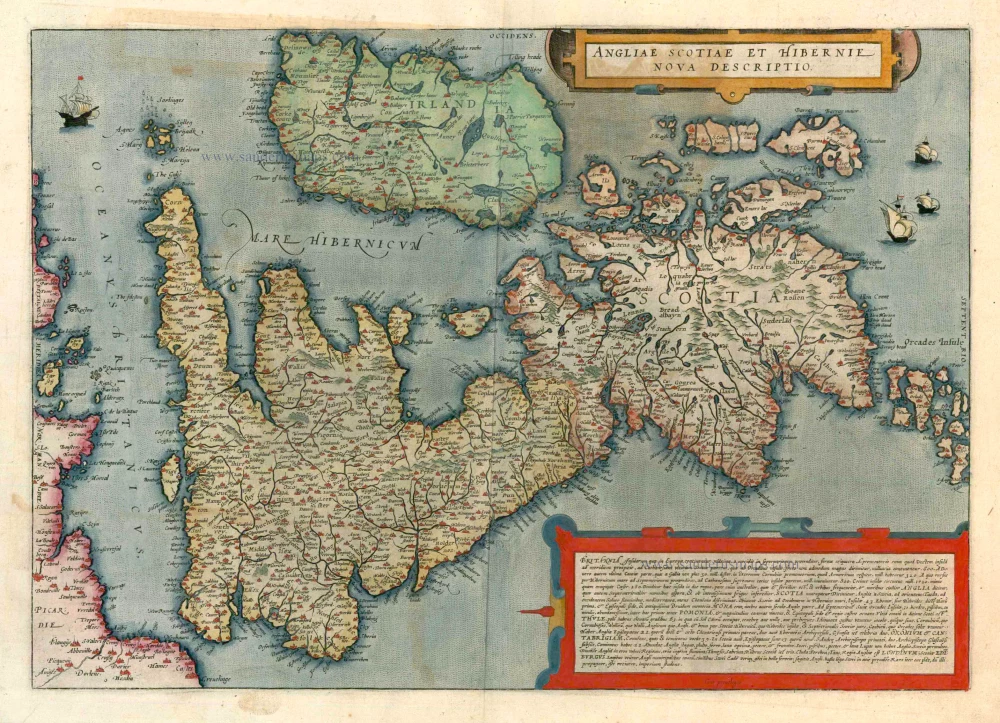
Angliae Scotiae et Hibernie Nova Descriptio 1593
British Isles, by de G. Jode.
[Item number: 11236]
Angliae, Scotiae, et Hiberniae, sive Britannicae Insularum Descriptio. 1572
BRITISH ISLES by Abraham Ortelius
[Item number: 15693]
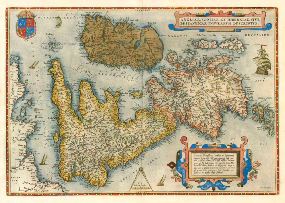
Angliae, Scotiae, et Hiberniae, sive Britannicae Insularum Descriptio. 1579
The British Isles by Abraham Ortelius.
[Item number: 17897]
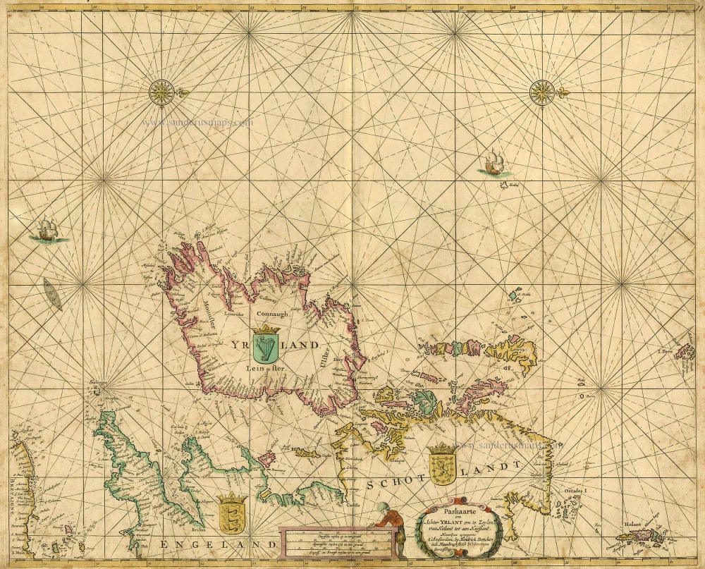
Paskaarte om achter Yrlant om te Zeylen van Hitlant tot aen Heyssant. 1665
British Isles, by Hendrik Doncker.
[Item number: 18567]

Paskaarte om Achter Yrlandt om te Zeylen van Hitlant tot aen Heyssat Nieuwlycx Uytgegeven 1667
The British Isles, by Pieter Goos.
[Item number: 19046]
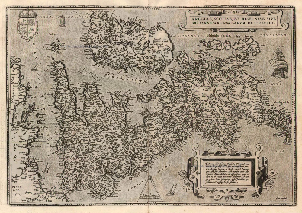
Angliae, Scotiae, et Hiberniae, sive Britannicae Insularum Descriptio. 1601
The British Isles, by Ortelius A.
[Item number: 22869]
Big and spectacular map
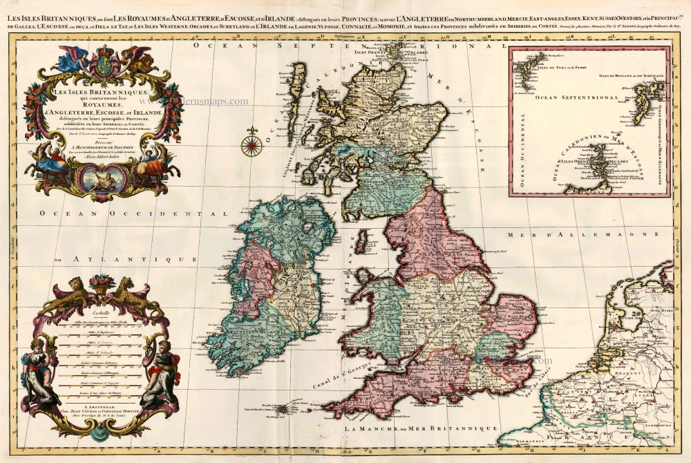
Les Isles Britanniques; qui Contiennent les Royaumes d'Angleterre, Escosse, et Irlande ... 1710
British Isles by Sanson - Covens & Mortier.
[Item number: 23726]
Anglia, Scotia et Hibernia. 1623
British Isles, by Gerard Mercator.
[Item number: 24894]
Magnae Britanniae et Hiberniae Tabula. 1662
British Isles, by W. & J. Blaeu.
[Item number: 25200]
Les Isles Britanniques ou sont le Royaume D'Angleterre Tiré de Sped Celuy D'Ecosse Tiré de Th. Pont et Celuy D'Irlande Riré de Petti. 1730
British Isles by Guillaume Delisle, published by Covens & Mortier.
[Item number: 25680]
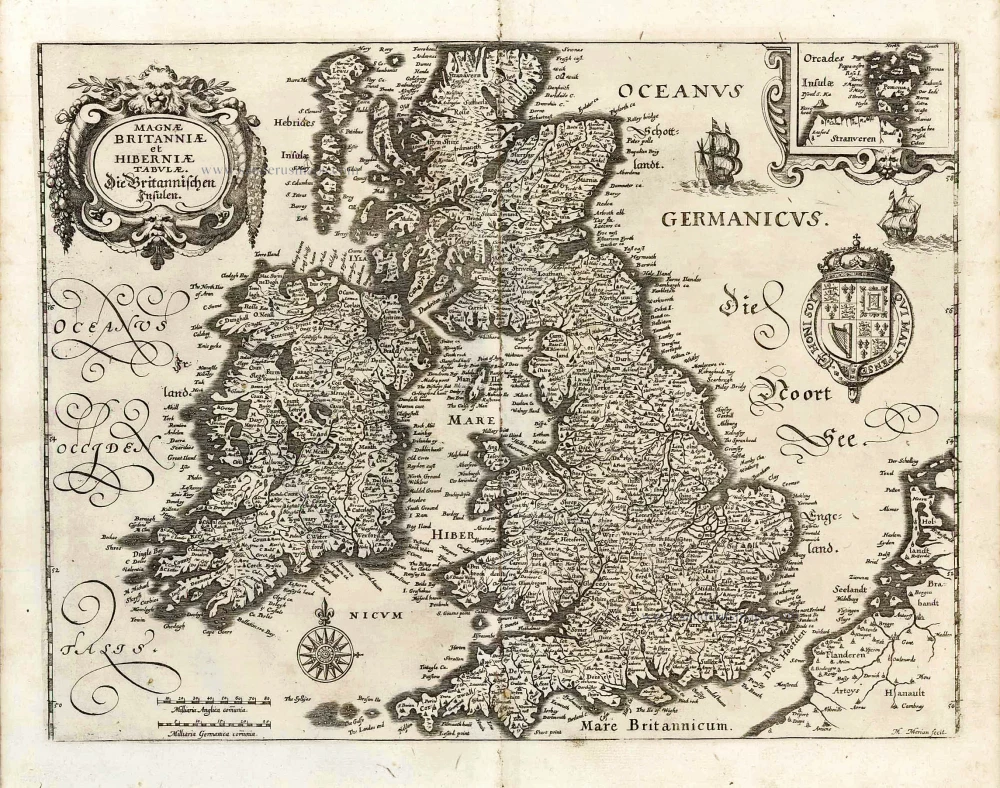
Magnae Britanniae et Hiberniae Tabulae. - Die Britannischen Insulen. 1638
The British Isles, by M. Merian.
[Item number: 25904]
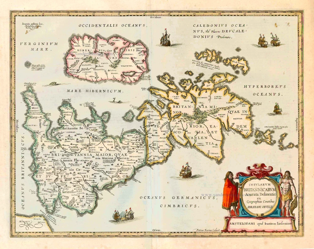
Insularum Britannicarum Acurata Delineatio ex Geographicis Conatibus Abrahami Ortelii. 1641
The British Isles, by Johannes Janssonius.
[Item number: 26483]
Magnae Britanniae et Hiberniae Tabula. 1645
The British Isles, by Joan and Willem Blaeu
[Item number: 26715]

Les Isles Britanniques Comprenant les Royaumes d'Angleterre, d'Ecosse et d'Iralnade, divisés en grandes provinces, ... 1776-79
British Isles, by Francesco Santini.
[Item number: 26959]
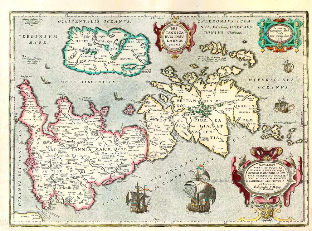
Britannicarum Insularum Typus. 1624
The British Isles, by Abraham Ortelius.
[Item number: 27469]
Magnae Britanniae et Hiberniae Tabula. 1629
British Isles by Pieter Verbiest
[Item number: 27737]

Les Isles Britanniques; qui Contiennent les Royaumes d'Angleterre, Escosse, et Irlande. c. 1705
British Isles, by H. Jaillot
[Item number: 27772]
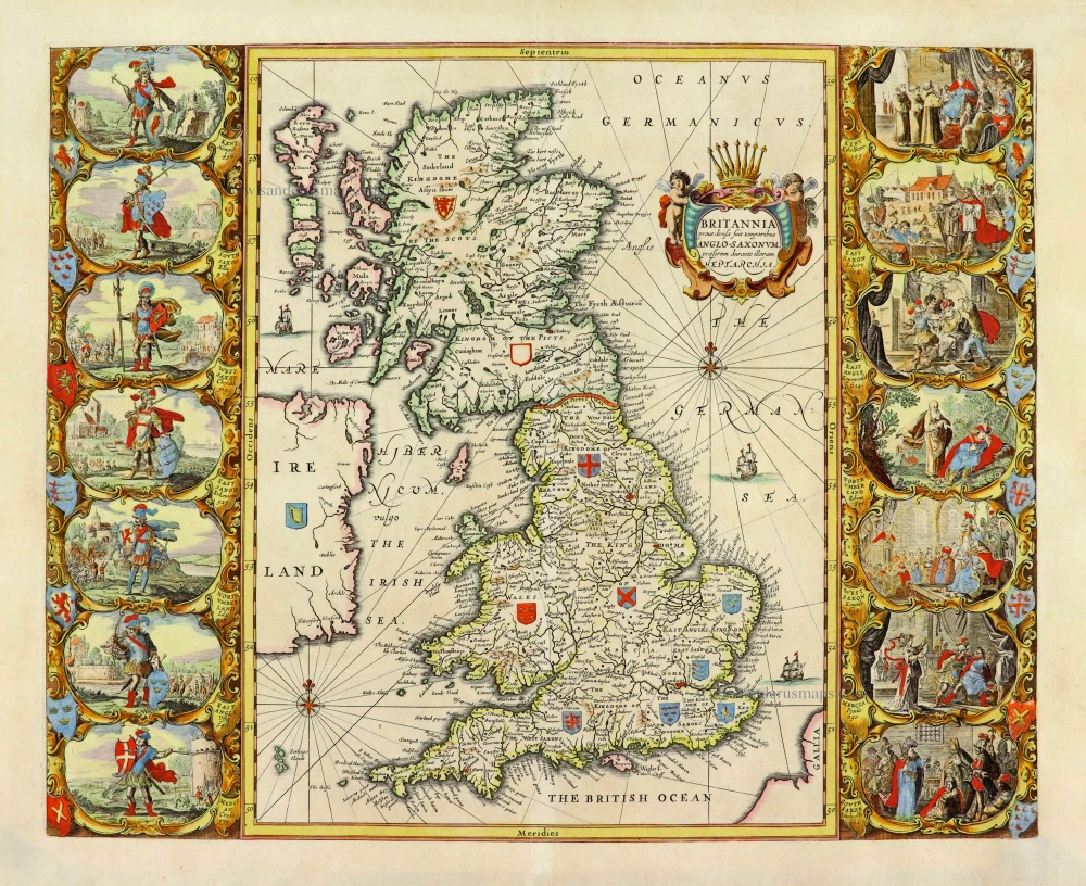
Britannia prout divisa fuit temporibus Anglo-Saxonum, praesertim durante illorum Heptarchia. 1652
Great Brittain by Georg Hornius
[Item number: 28033]
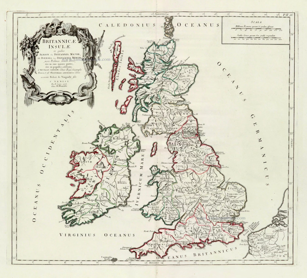
Britannicae Insulae in quibus Albion Seu Britannia Major, et Ivernia Seu Britannia Minor. 1776-79
British Isles, by Paolo Santini, after Nicolas Sanson & Sr. Robert de Vaugondy.
[Item number: 28105]
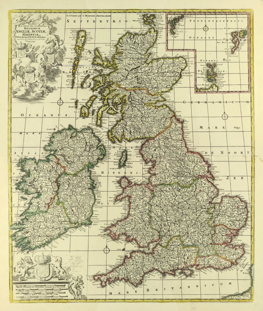
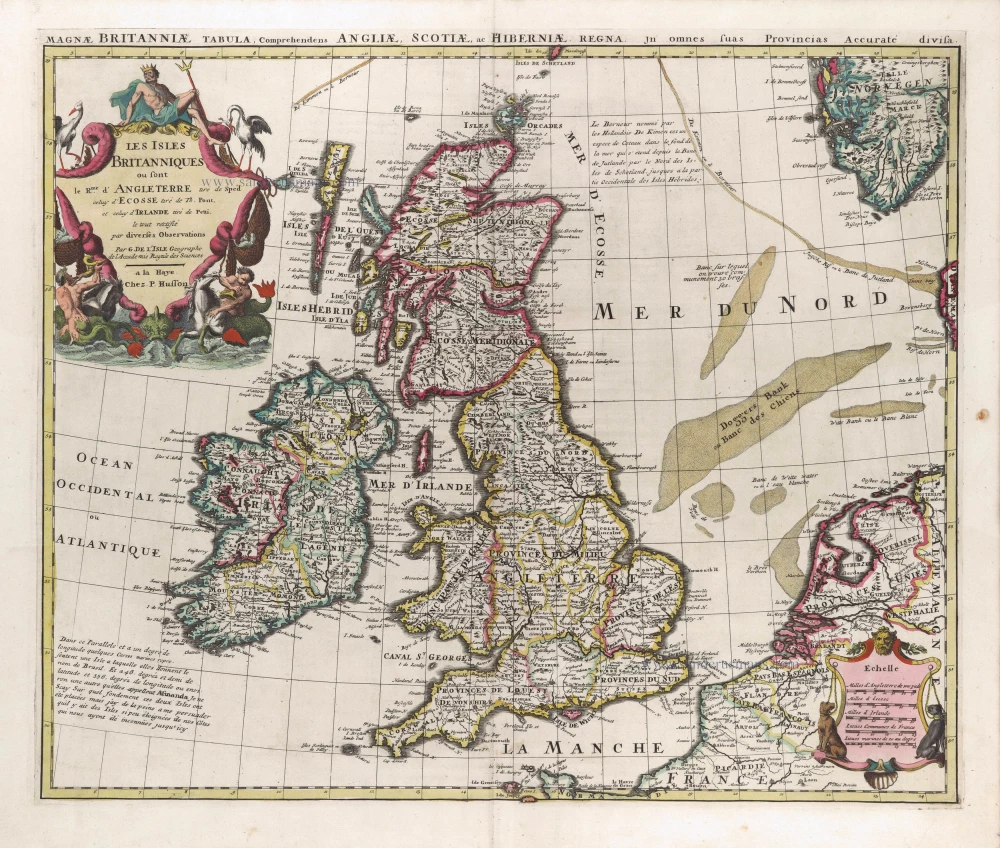
Novissima Prae Caeteris aliis Accuratissima Regnorum Angliae, Scotiae, Hiberniae. c. 1691-96
British Isles by Frederik De Wit.
[Item number: 28239]
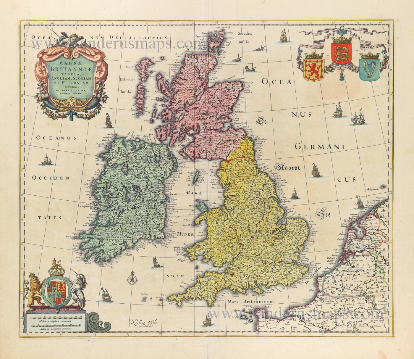
Magnae Britanniae Tabula, Angliam, Scotiam, et Hiberniam continens. 1677-80
British Isles by Nicolaes Visscher I.
[Item number: 28586]
Les Isles Britanniques qui contiennent les Royaumes d'Angleterre Escosse, et Irlande. 1730-45
British Isles by Hubert Jaillot, published by Reinier and Josua Ottens.
[Item number: 28747]
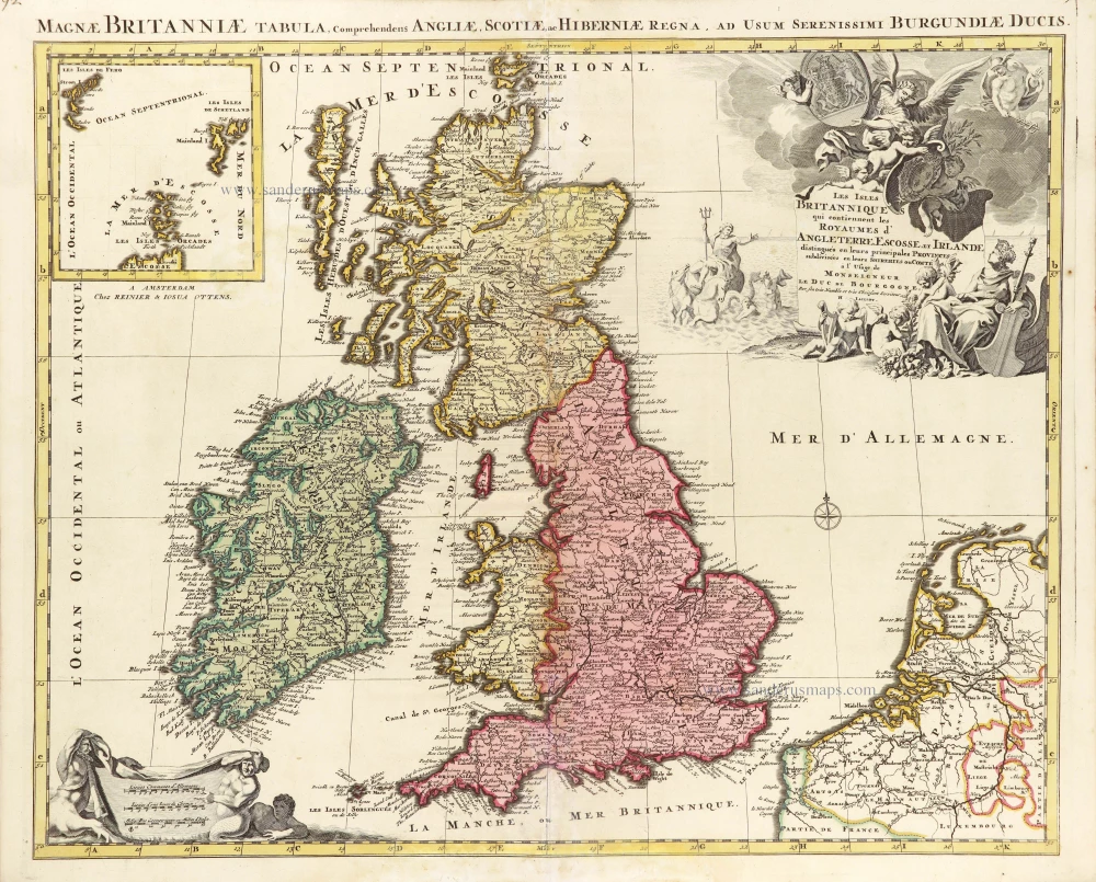
Les Isles Britanniques ou sont le Rme d'Angleterre tiré de Sped celuy d'Ecosse tiré de Th.Pont &c. et celuy d'Irlande tire de Petti, c. 1709
The British Isles by G. Delisle, published by Pierre Husson.
[Item number: 29562]
Magnae Britanniae et Hiberniae Tabula. 1631
British Isles by Blaeu, with three decorative borders
[Item number: 29586]
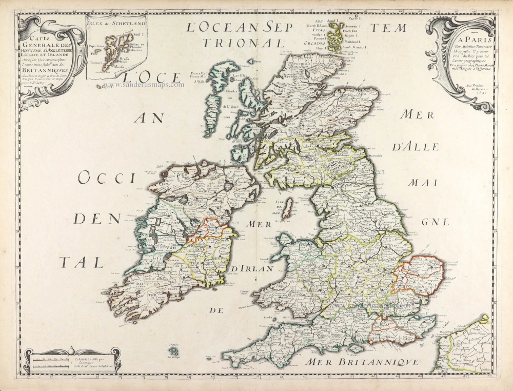
Carte Générale des Royaume d'Angleterre Escosse et Irlande. 1652
British Isles by Nicolas Sanson, published by Melchior Tavernier / Pierre Mariette.
[Item number: 29604]
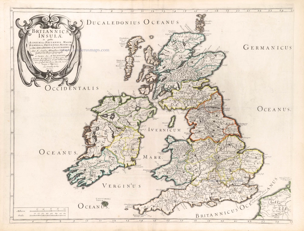
Brtiannicae [sic] Insulae in quibus Albium sive Britannia Maior Iuernia sive Britannia Minor tum et Orcades, Ebudes, Cassiterides. 1652
Ancient British Isles by Nicolas Sanson.
[Item number: 29623]
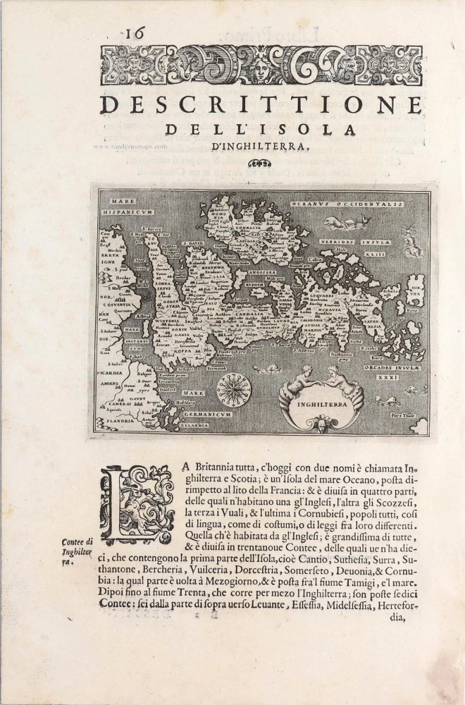
Inghilterra. - [Above map :] Descrittione dell'Isola d'Inghilterra. 1590
British Isles, by Thomaso Porcacchi.
[Item number: 29755]
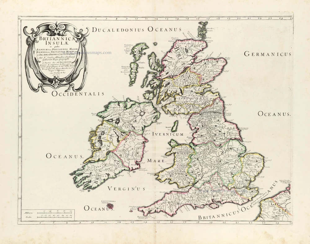
Britannicae Insulae in quibus Albium Sive Britannia Maior Iuernie Sive Bitannia Minor tum et Orcades, Ebudes, Cassiterides. 1659
Ancient British Isles by Melchior Tavernier and Nicolas Sanson.
[Item number: 30014]