
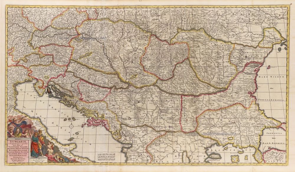
Hungary & the Balkans by Frederick de Wit c. 1691-97
Frederick de Wit (1630-1706)
The engraver and map-seller, Frederick de Wit, was born in Gouda (Netherlands) in 1630 as a son of Hendrick Fredericksz de Wit. Through his marriage with Maria van der Waag of Amsterdam in 1661, he obtained citizenship of the city where he had been working since 1648 and where he became one of the most famous engravers of maps of the second half of the 17th century. Although De Wit was a Catholic, which meant that he was not favoured at the time by the city council, he was awarded the honour of being listed as one of the "excellent citizens" on the roll of the city council in the years 1694-1704. However, his name was not written in the Guild of St. Luke book before 1664. At that time, he lived on the Kalverstraat "in de Witte Pascaert", where he stayed until his death in 1706. His earliest dates on maps engraved are 1659 (Regni Daniae) and 1660 (World map).
Frederick de Wit published several world atlases, a sea atlas, and an atlas of the Netherlands.
The dating of the maps is difficult. However, as a privilege was granted in 1689, the annotation 'cum privilegio' marks an edition after 1688.
Around 1700, Frederick de Wit entered the market with a town atlas. He produced two volumes with a total of 260 plans and views. Most were printed from plates used for Janssonius and Blaeu town atlases.
After he died in 1706, his widow continued the shop until 1709. The plates and stock of De Wit's atlas were sold to Covens & Mortier in 1710, who sold the atlas for an extended period.
Regni Hungariae et Regionum, quae ei quondam fuere unitae, ut Transilvaniae, Valachiae, Moldaviae, Serviae, Romaniae, Bulgariae, Bessarabiae, Croatiae, Bosniae, Dalmatiae, Sclavoniae, Morlachiae, Ragusanae Reipublicae Maximaeq Partis Danubii Fluminis, Novissima Delineatio.
Item Number: 29243 Authenticity Guarantee
Category: Antique maps > Europe > Central Europe
Old, antique map of the Balkan Peninsula (Hungary & the Balkans), by Frederick de Wit.
Title: Regni Hungariae et Regionum, quae ei quondam fuere unitae, ut Transilvaniae, Valachiae, Moldaviae, Serviae, Romaniae, Bulgariae, Bessarabiae, Croatiae, Bosniae, Dalmatiae, Sclavoniae, Morlachiae, Ragusanae Reipublicae Maximaeq Partis Danubii Fluminis, Novissima Delineatio.
Cum Privilegio.
Ex Officina Frederick De Wit.
Amstelodami 1688.
Date of the first edition: 1686.
Date of this map: c. 1691-97.
Date on map: 1688.
Copper engraving, printed on paper.
Map size: 500 x 880mm (19.69 x 34.65 inches).
Sheet size: 540 x 905mm (21.26 x 35.63 inches).
Verso: Blank.
Condition: Original coloured, partially backed with archival paper, some fold splits reinforced.
Condition Rating: A.
From: Composite Atlas by F. De Wit, c. 1691-97.
Frederick de Wit (1630-1706)
The engraver and map-seller, Frederick de Wit, was born in Gouda (Netherlands) in 1630 as a son of Hendrick Fredericksz de Wit. Through his marriage with Maria van der Waag of Amsterdam in 1661, he obtained citizenship of the city where he had been working since 1648 and where he became one of the most famous engravers of maps of the second half of the 17th century. Although De Wit was a Catholic, which meant that he was not favoured at the time by the city council, he was awarded the honour of being listed as one of the "excellent citizens" on the roll of the city council in the years 1694-1704. However, his name was not written in the Guild of St. Luke book before 1664. At that time, he lived on the Kalverstraat "in de Witte Pascaert", where he stayed until his death in 1706. His earliest dates on maps engraved are 1659 (Regni Daniae) and 1660 (World map).
Frederick de Wit published several world atlases, a sea atlas, and an atlas of the Netherlands.
The dating of the maps is difficult. However, as a privilege was granted in 1689, the annotation 'cum privilegio' marks an edition after 1688.
Around 1700, Frederick de Wit entered the market with a town atlas. He produced two volumes with a total of 260 plans and views. Most were printed from plates used for Janssonius and Blaeu town atlases.
After he died in 1706, his widow continued the shop until 1709. The plates and stock of De Wit's atlas were sold to Covens & Mortier in 1710, who sold the atlas for an extended period.
Related items

Dotis Ungaris Thata c. 1625
Tata (Hungary) by Braun G. & Hogenberg F.
[Item number: 16381]

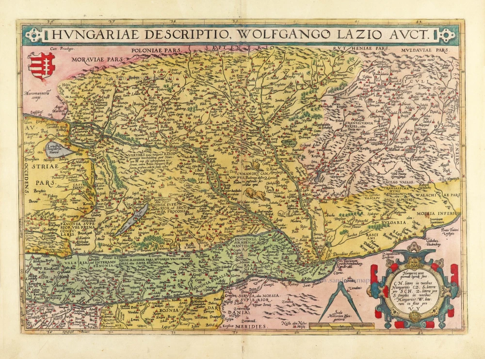
Hungariae Descriptio, Wolfgango Lazio Auct. 1612
Hungary by Abraham Ortelius.
[Item number: 23084]
Hungaria 1623
Hungary, by Gerard Mercator.
[Item number: 24948]

Le Royaume de Hongrie et des Pays qui en dependoient autrefois. 1730
Balkans by Guillaume Delisle - Covens & Mortier
[Item number: 25910]
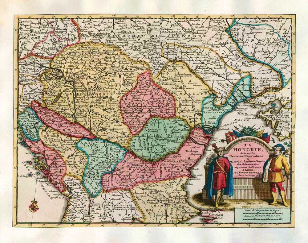
La Hongrie, Suivant les Nouvelles Observations de Mess.rs de l'Academie Royale des Sciences, 1713
Hungary, by Pieter van der Aa.
[Item number: 26043]

La ville d'Eger, iadis subiette à l'empire romain et auiourd'huy au royaume de Bohem. 1575
Eger (Hungary), by François de Belleforest.
[Item number: 27372]
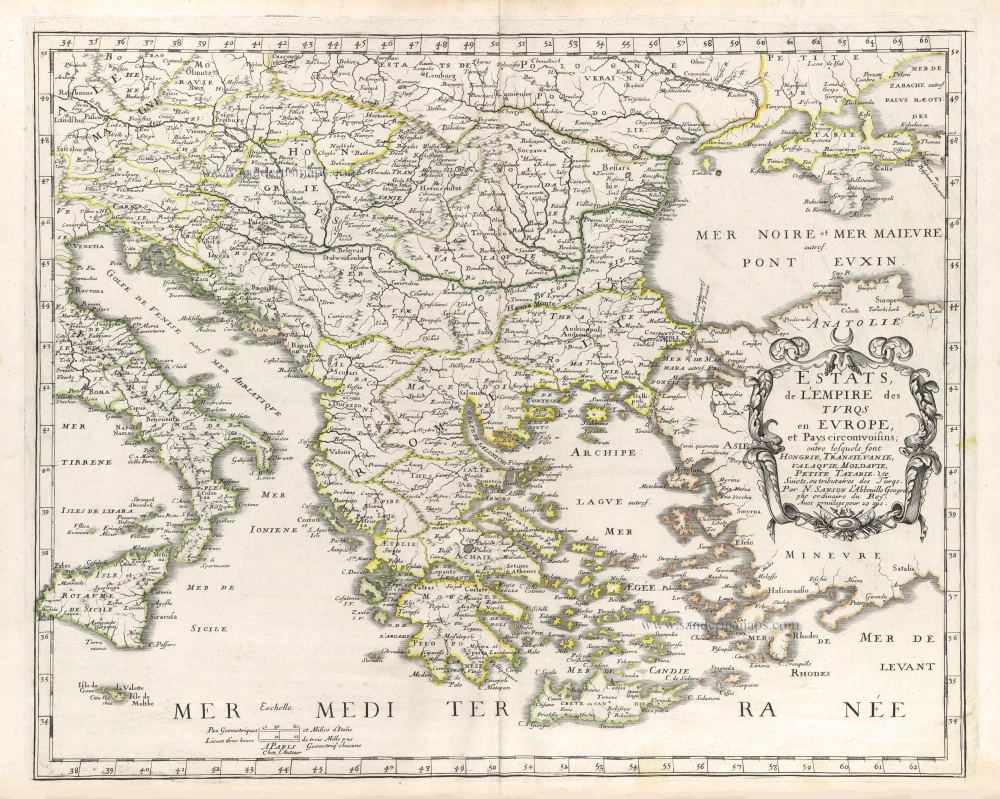
Estats, de l'Empire des Turqs en Europe; et Pays circomvoisins; entre lesquels sont Hongrie, Transilvanie, Valaquie, Moldavie, Petite Tatarie. &c. 1659
The Balkans by Nicolas Sanson.
[Item number: 29686]
Hungariae Descriptio, Wolfgango Lazio Auct. 1584
Hungary by Abraham Ortelius.
[Item number: 30026]
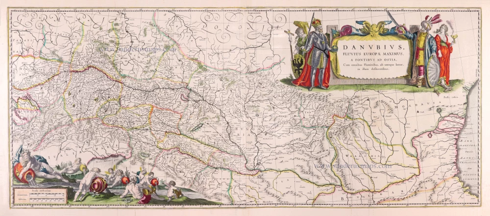
Danubius, Fluvius Europae Maximus, a Fontibus ad Ostia, Cum omnibus Fluminibus, ab utroque latere, in illum defluentibus. 1643
Danube River by Willem Blaeu.
[Item number: 30307]