
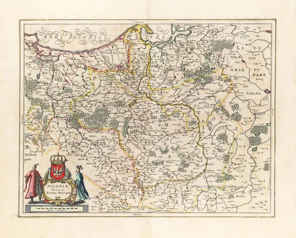
Poland - Lithuania by Frederick de Wit. c. 1691-97

Frederick de Wit (1630-1706)
The engraver and map-seller, Frederick de Wit, was born in Gouda (Netherlands) in 1630 as a son of Hendrick Fredericksz de Wit. Through his marriage with Maria van der Waag of Amsterdam in 1661, he obtained citizenship of the city where he had been working since 1648 and where he became one of the most famous engravers of maps of the second half of the 17th century. Although De Wit was a Catholic, which meant that he was not favoured at the time by the city council, he was awarded the honour of being listed as one of the "excellent citizens" on the roll of the city council in the years 1694-1704. However, his name was not written in the Guild of St. Luke book before 1664. At that time, he lived on the Kalverstraat "in de Witte Pascaert", where he stayed until his death in 1706. His earliest dates on maps engraved are 1659 (Regni Daniae) and 1660 (World map).
Frederick de Wit published several world atlases, a sea atlas, and an atlas of the Netherlands.
The dating of the maps is difficult. However, as a privilege was granted in 1689, the annotation 'cum privilegio' marks an edition after 1688.
Around 1700, Frederick de Wit entered the market with a town atlas. He produced two volumes with a total of 260 plans and views. Most were printed from plates used for Janssonius and Blaeu town atlases.
After he died in 1706, his widow continued the shop until 1709. The plates and stock of De Wit's atlas were sold to Covens & Mortier in 1710, who sold the atlas for an extended period.
Reipublicae et Status Generalis Poloniae Nova Tabula, Comprehendens Maioris et Minoris Poloniae Regni Magni Ducatus Lithuaniae, Ducatus Prussiae, Curlandiae, Russiae, Ucraniae et Podoliae.
Item Number: 28890 Authenticity Guarantee
Category: Antique maps > Europe > Eastern Europe
Old, antique map of Poland - Lithuania by Frederick de Wit.
Title: Reipublicae et Status Generalis Poloniae Nova Tabula, Comprehendens Maioris et Minoris Poloniae Regni Magni Ducatus Lithuaniae, Ducatus Prussiae, Curlandiae, Russiae, Ucraniae et Podoliae.
Accuratam Descriptionem Per F. de Wit.
Amstelodami Cum Priv: D.D. Ordin: Holl. Westfrisiaeq.
Date: c. 1691-97.
Copper engraving, printed on paper.
Map size: 485 x 555mm (19.09 x 21.85 inches).
Sheet size: 540 x 630mm (21.26 x 24.8 inches).
Verso: Blank.
Condition: Original coloured, excellent.
Condition Rating: A+.
From: De Wit Atlas. Amsterdam, c. 1691-97.
Frederick de Wit (1630-1706)
The engraver and map-seller, Frederick de Wit, was born in Gouda (Netherlands) in 1630 as a son of Hendrick Fredericksz de Wit. Through his marriage with Maria van der Waag of Amsterdam in 1661, he obtained citizenship of the city where he had been working since 1648 and where he became one of the most famous engravers of maps of the second half of the 17th century. Although De Wit was a Catholic, which meant that he was not favoured at the time by the city council, he was awarded the honour of being listed as one of the "excellent citizens" on the roll of the city council in the years 1694-1704. However, his name was not written in the Guild of St. Luke book before 1664. At that time, he lived on the Kalverstraat "in de Witte Pascaert", where he stayed until his death in 1706. His earliest dates on maps engraved are 1659 (Regni Daniae) and 1660 (World map).
Frederick de Wit published several world atlases, a sea atlas, and an atlas of the Netherlands.
The dating of the maps is difficult. However, as a privilege was granted in 1689, the annotation 'cum privilegio' marks an edition after 1688.
Around 1700, Frederick de Wit entered the market with a town atlas. He produced two volumes with a total of 260 plans and views. Most were printed from plates used for Janssonius and Blaeu town atlases.
After he died in 1706, his widow continued the shop until 1709. The plates and stock of De Wit's atlas were sold to Covens & Mortier in 1710, who sold the atlas for an extended period.
Related items
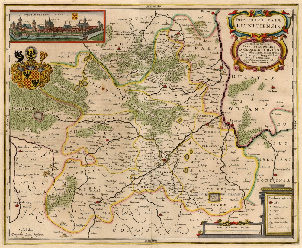
Ducatus Silesiae Ligniciensis 1632+
Poland - Legnica, by Hondius H. - Janssonius J.
[Item number: 6942]
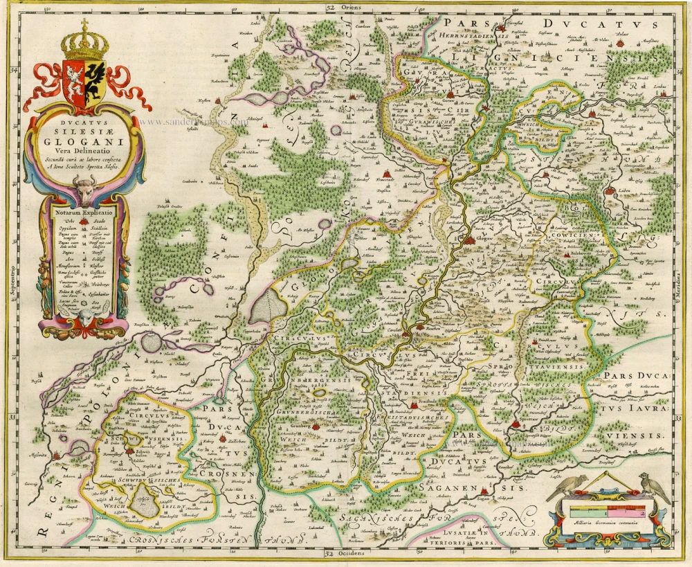
Ducatus Silesiae Glogani Vera Delineatio. 1659-72
Poland - Glogów, by Blaeu J.
[Item number: 15616]
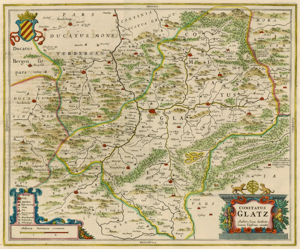
Comitatus Glatz. 1658
Poland - Klodzko, by J. Janssonius.
[Item number: 15619]
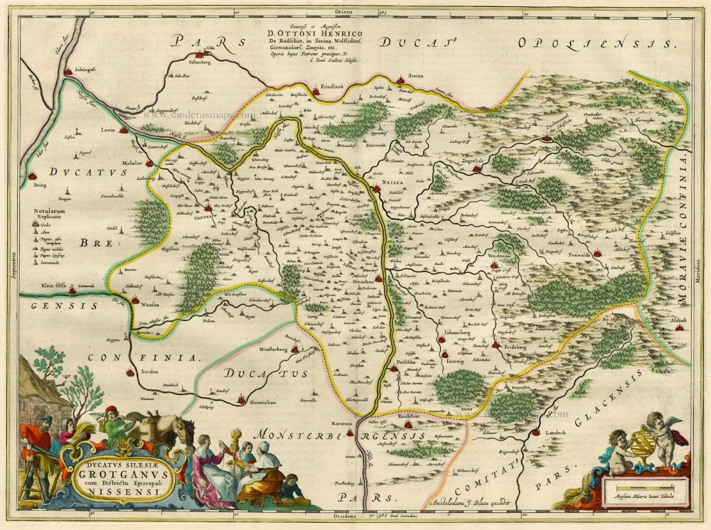
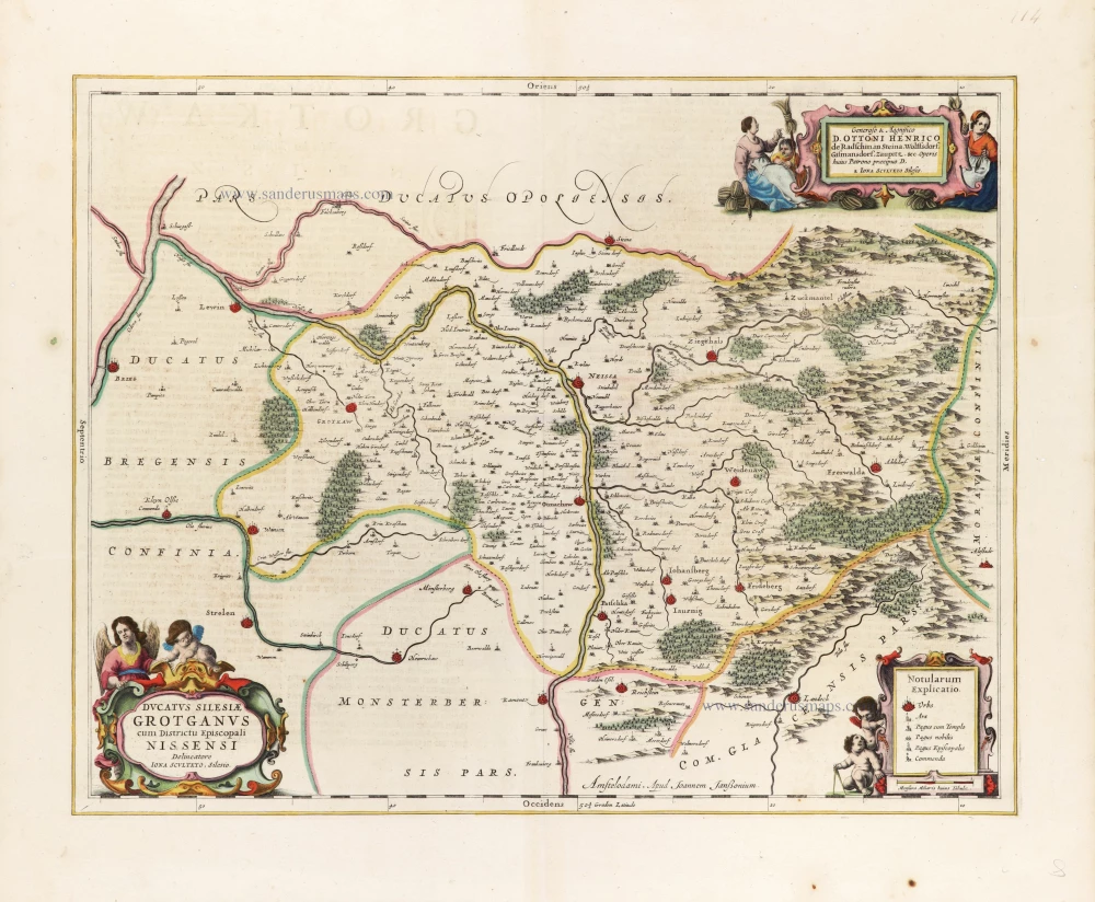
Ducatus Silesiae Grotganus cum Districtu Episcopali Nissensi. 1662
Poland - Grodków and Nysa, by Blaeu J.
[Item number: 15621]
Ducatus Silesiae Grotganus cum Districtu Episcopali Nissensi. 1645-47
Poland - Grodków and Nysa, by Johannes Janssonius.
[Item number: 15645]
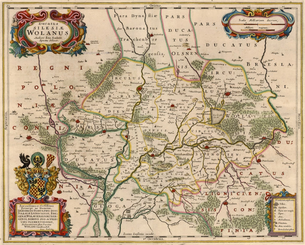
Ducatus Silesiae Wolanus. 1632+
Poland - Silesia - Wolow, by Janssonius J.
[Item number: 15646]
Polonia. 1618
Poland, by Petrus Bertius.
[Item number: 18262]
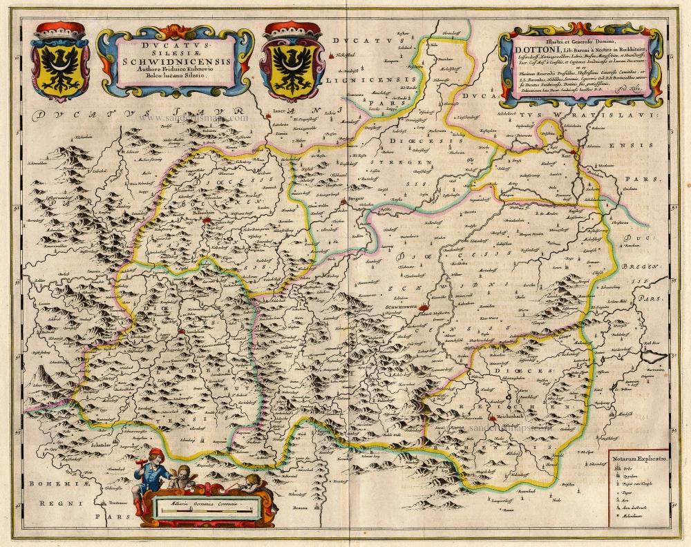
Ducatus Silesiae Schwidnicensis. 1659-72
Poland - Swidnica (Schweidnitz), by Blaeu J.
[Item number: 18702]
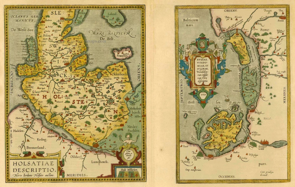
Holsatiae Descriptio [on sheet with] Rugiae, Usedomiae, et Iulinae, Wandalicarum Insularum Vera Descriptio. 1601
Poland - Rügen - Holstein, by Ortelius A.
[Item number: 21277]
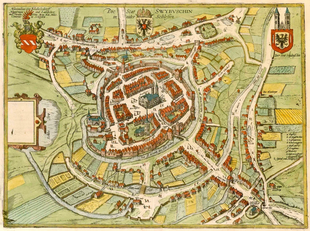
Die Stat Swybuschin in Nider Schlesien. 1596
Poland - Swiebodzin, by Braun & Hogenberg.
[Item number: 22102]
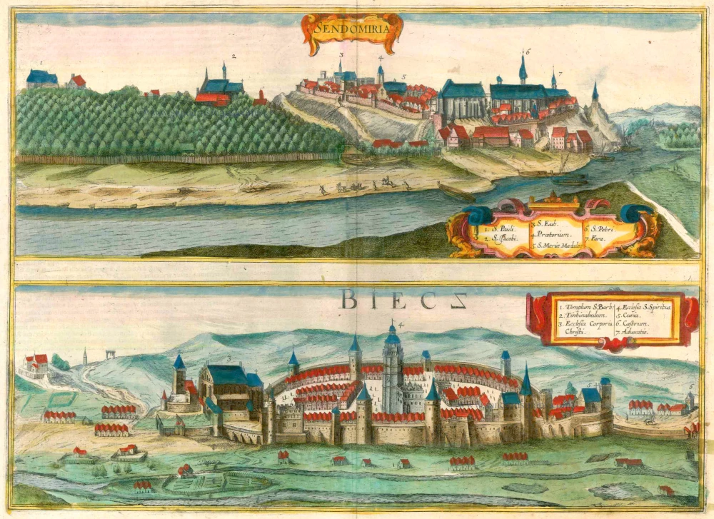
Sendomiria [on sheet with] Biecz 1618
Sandomierz and Biecz in Poland, by Georg Braun and Frans Hogenberg.
[Item number: 23452]
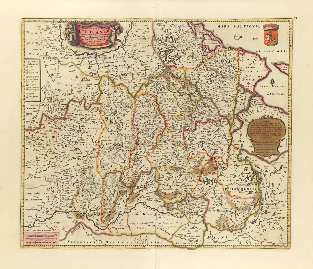
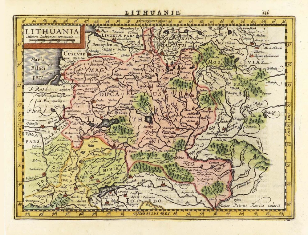
Magni Ducatus Lithuaniae Tabula, divisa tam in Palatinatus, quam in subjacentes Castellanias. c. 1697
Lithuania by Frederick De Wit.
[Item number: 28892]
Lithuania. 1630
Lithuania by Jodocus Hondius.
[Item number: 29159]
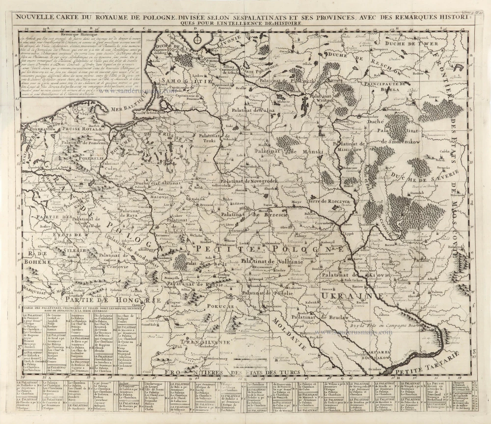
Nouvelle Carte du Royaume de Pologne, divisée selon ses Palatinats et ses Provinces, avec des Remarques Historiques pour l'Intelligence de l'Histoire. 1714
Poland by Zacharias Châtelain.
[Item number: 29427]
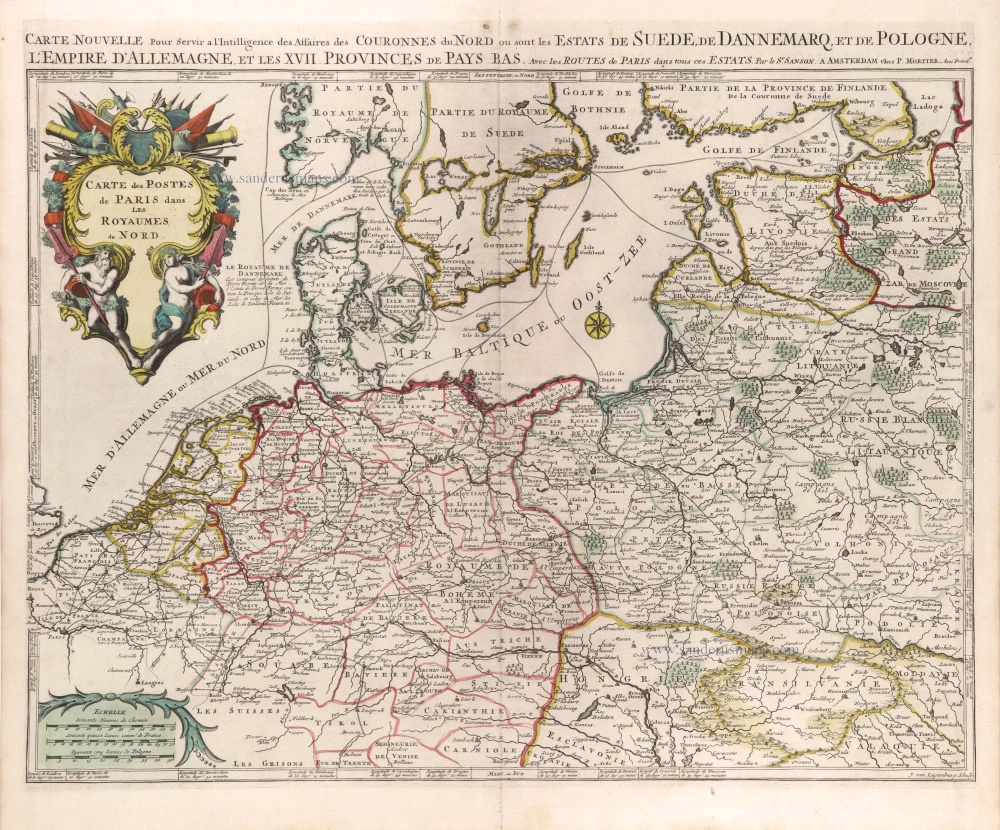
Cartes des Postes de Paris dans les Royaumes du Nord. c. 1709
Postal map of Northern Germania, Poland, and the Baltic States by Nicolas Sanson, published by Pierre Mortier.
[Item number: 29619]
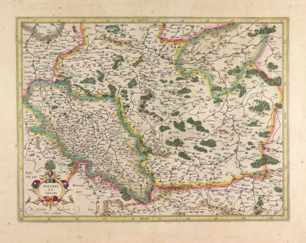
Polonia et Silesia. 1613
Poland, by Gerard Mercator.
[Item number: 29762]
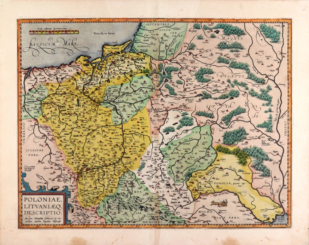
Poloniae, Lituaniaeq. Descriptio. 1595
Lithuania, Poland & Ukraine by Abraham Ortelius
[Item number: 29857]
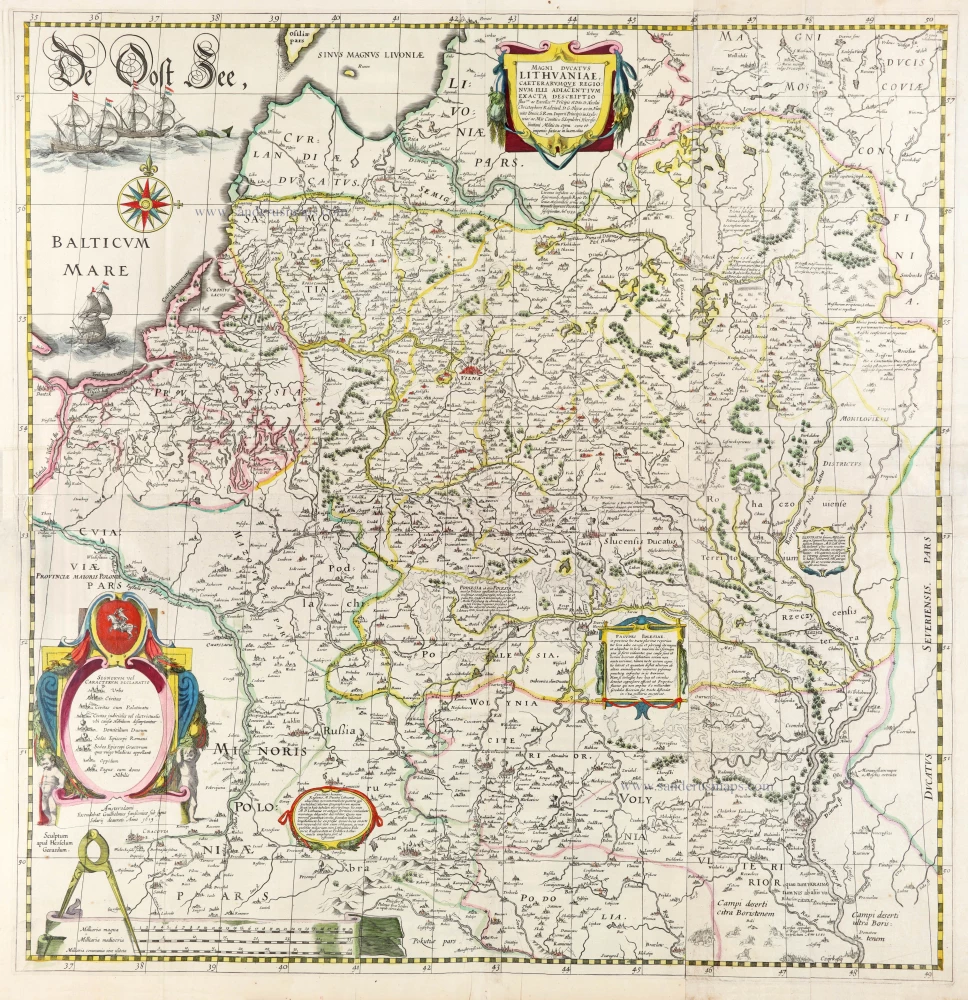
The most important wall map of Lithuania from the 17th century.
Magni Ducatus Lithuaniae Caeterarumque Regionum illi Adiacentium Exacta Descriptio. 1643
Lithuania, by Willem Blaeu.
[Item number: 30171]
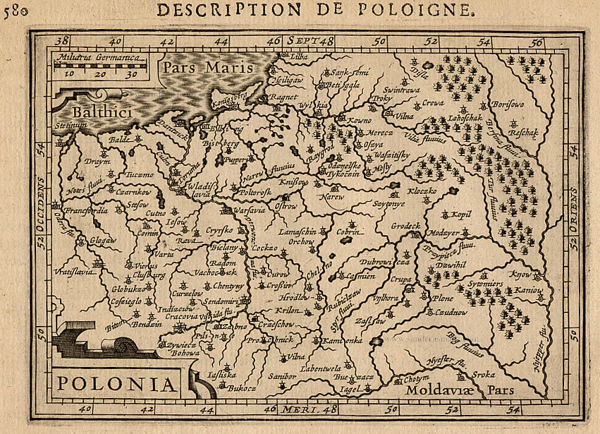
Poloniae Nova et Descriptio. 1653
Poland by Johannes Janssonius.
[Item number: 30345]