
The most important wall map of Lithuania from the 17th century.
Lithuania, by Willem Blaeu. 1643
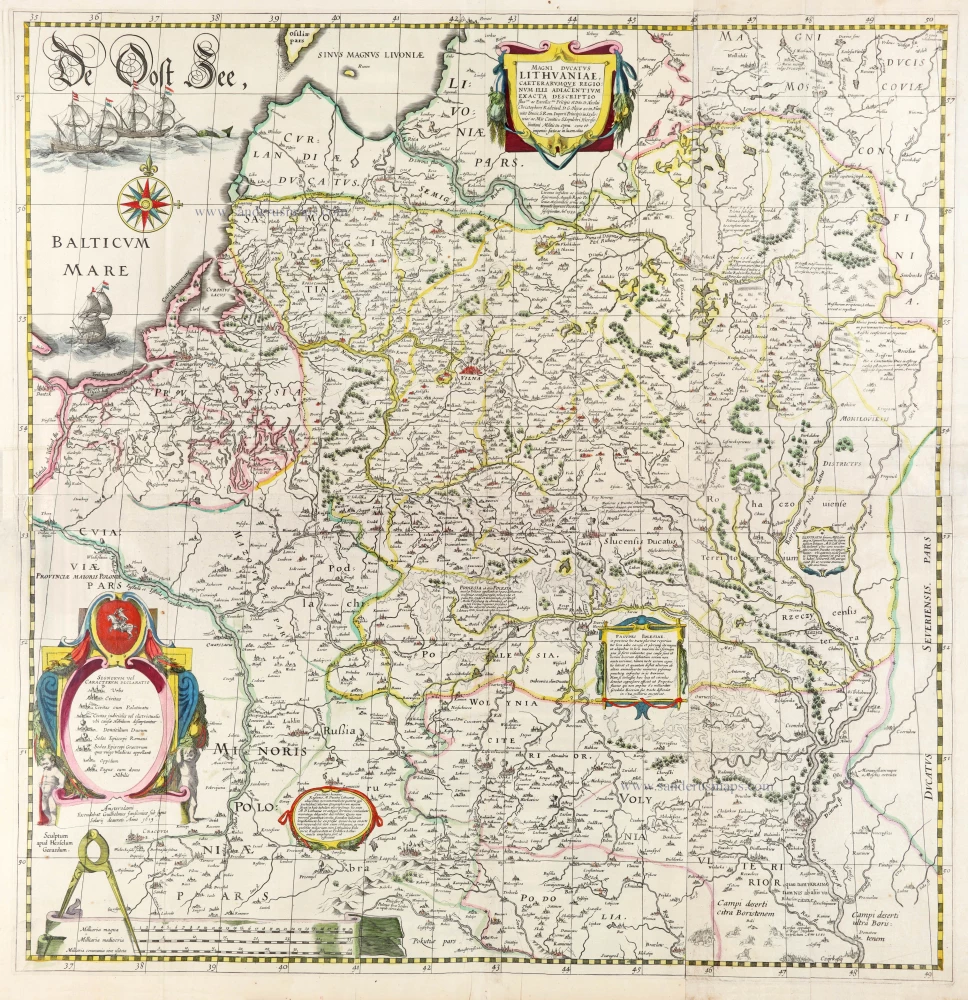
The original of this map was made during the last decade of the sixteenth century by the efforts of Prince Nikolaj Krzystof Radziwill (Radvillas 1549-1616) and was a collaborative effort. Unfortunately, only the draughtsman's name, Tomasz Makowski, is known. Alexandrowicz (1989) assumes that a first (now lost) printed state existed before 1604, of which the printing plate is no longer extant. The second plate of the map was engraved by Hessel Gerritsz and published by Blaeu. Blaeu changed the arrangement of the map sheets; he separated the map of the river Dniepr from the map of Lithuania. The first atlas edition (1631) has printed Latin text on the back; from 1634, the map was included in the atlas without text on the back.
The Blaeus: Willem Janszoon, Cornelis & Joan
Willem Jansz. Blaeu and his son Joan Blaeu are the seventeenth century's most widely known cartographic publishers.
Willem Jansz. (also written Guilielmus Janssonius) = Willem Janszoon Blaeu was born in Uitgeest (Netherlands), near Alkmaar, in 1571. He studied mathematics under Tycho Brahe and learned the theory and practice of astronomical observations and the art of instrument- and globe-making.
In 1596, he came to Amsterdam, where he settled down as a globe-, instrument- and mapmaker. He published his first cartographic work (a globe) in 1599 and probably published his first printed map (a map of the Netherlands) in 1604. He specialised in maritime cartography, published the first edition of the pilot guide Het Licht der Zeevaert in 1608, and was appointed Hydrographer of the V.O.C. (United East India Company) in 1633. After publishing books, wall maps, globes, charts and pilot guides for thirty years, he brought out his first atlas, Atlas Appendix (1630). This was the beginning of the great tradition of atlas-making by the Blaeus.
In 1618, another mapmaker, bookseller and publisher, Johannes Janssonius, established himself in Amsterdam next door to Blaeu's shop. No wonder these two neighbours began accusing each other of copying and stealing their information and became fierce competitors who did not have a good word to say about each other. In about 1621 Willem Jansz. decided to end the confusion between his name and his competitor's and assumed his grandfather's nickname, 'blauwe Willem' ('blue Willem'), as the family name; after that, he called himself Willem Jansz. Blaeu.
Willem Janszoon Blaeu died in 1638, leaving his prospering business to his sons, Cornelis and Joan. We only know that Cornelis's name occurs in the prefaces of books and atlases until c. 1645.
Joan Blaeu, born in Amsterdam in 1596, became a partner in his father's book trade and printing business. 1638, he was appointed his father's successor in the Hydrographic Office of the V.O.C. His efforts culminated in the magnificent Atlas Major and the town books of the Netherlands and Italy – works unsurpassed in history and modern times, giving eternal fame to the name of the Blaeu's.
A fire ruined the business on February 23, 1672, and one year later, Dr. Joan Blaeu died. The fire and the director's passing caused the complete sale of the Blaeu House's stock. Five public auctions dispersed the remaining books, atlases, copperplates, globes, etc., among many other map dealers and publishers in Amsterdam. The majority was acquired by several booksellers acting in partnership.
In the succeeding years, the remaining printing department remained in the hands of the Blaeu family until 1695, when the printing house's inventory was sold at a public auction. That meant the end of the Blaeu family as a printing house of world renown.
Magni Ducatus Lithuaniae Caeterarumque Regionum illi Adiacentium Exacta Descriptio.
Item Number: 30171 Authenticity Guarantee
Category: Antique maps > Europe > Eastern Europe
Wall map of the Grand Duchy of Lithuania, by Willem Blaeu.
Shows Lithuania and parts of Poland, Russia, Ukraine, and Latvia, extending to Cracow, Kiev, Warsaw, Riga, Konigsberg, Dantzig, Leopolis, and nearby regions.
Title: Magni Ducatus Lithuaniae Caeterarumque Regionum illi Adiacentium Exacta Descriptio.
Amsterodami Excudebat Guilhelmus Janßonius sub signo Solarij deaurati. Anno 1613.
Sculptum apud Hesselum Gerardum.
Cartographer: Nikolaj Krzysztof Radziwill (1549-1616).
Engraver: Hessel Gerritsz.
Date of the first edition: 1631.
Date of this map: 1643.
Date on map: 1613.
Copper engraving, printed on paper.
Image size: 755 x 730mm (29.72 x 28.74 inches).
Sheet size: 770 x 750mm (30.31 x 29.53 inches).
Verso: Blank.
Condition: Original coloured.
Condition Rating: A+
From: Théâtre du Monde ou Nouvel Atlas. Première partie. J. Blaeu, 1643. (Van der Krogt 2, 211.1F)
The original of this map was made during the last decade of the sixteenth century by the efforts of Prince Nikolaj Krzystof Radziwill (Radvillas 1549-1616) and was a collaborative effort. Unfortunately, only the draughtsman's name, Tomasz Makowski, is known. Alexandrowicz (1989) assumes that a first (now lost) printed state existed before 1604, of which the printing plate is no longer extant. The second plate of the map was engraved by Hessel Gerritsz and published by Blaeu. Blaeu changed the arrangement of the map sheets; he separated the map of the river Dniepr from the map of Lithuania. The first atlas edition (1631) has printed Latin text on the back; from 1634, the map was included in the atlas without text on the back.
The Blaeus: Willem Janszoon, Cornelis & Joan
Willem Jansz. Blaeu and his son Joan Blaeu are the seventeenth century's most widely known cartographic publishers.
Willem Jansz. (also written Guilielmus Janssonius) = Willem Janszoon Blaeu was born in Uitgeest (Netherlands), near Alkmaar, in 1571. He studied mathematics under Tycho Brahe and learned the theory and practice of astronomical observations and the art of instrument- and globe-making.
In 1596, he came to Amsterdam, where he settled down as a globe-, instrument- and mapmaker. He published his first cartographic work (a globe) in 1599 and probably published his first printed map (a map of the Netherlands) in 1604. He specialised in maritime cartography, published the first edition of the pilot guide Het Licht der Zeevaert in 1608, and was appointed Hydrographer of the V.O.C. (United East India Company) in 1633. After publishing books, wall maps, globes, charts and pilot guides for thirty years, he brought out his first atlas, Atlas Appendix (1630). This was the beginning of the great tradition of atlas-making by the Blaeus.
In 1618, another mapmaker, bookseller and publisher, Johannes Janssonius, established himself in Amsterdam next door to Blaeu's shop. No wonder these two neighbours began accusing each other of copying and stealing their information and became fierce competitors who did not have a good word to say about each other. In about 1621 Willem Jansz. decided to end the confusion between his name and his competitor's and assumed his grandfather's nickname, 'blauwe Willem' ('blue Willem'), as the family name; after that, he called himself Willem Jansz. Blaeu.
Willem Janszoon Blaeu died in 1638, leaving his prospering business to his sons, Cornelis and Joan. We only know that Cornelis's name occurs in the prefaces of books and atlases until c. 1645.
Joan Blaeu, born in Amsterdam in 1596, became a partner in his father's book trade and printing business. 1638, he was appointed his father's successor in the Hydrographic Office of the V.O.C. His efforts culminated in the magnificent Atlas Major and the town books of the Netherlands and Italy – works unsurpassed in history and modern times, giving eternal fame to the name of the Blaeu's.
A fire ruined the business on February 23, 1672, and one year later, Dr. Joan Blaeu died. The fire and the director's passing caused the complete sale of the Blaeu House's stock. Five public auctions dispersed the remaining books, atlases, copperplates, globes, etc., among many other map dealers and publishers in Amsterdam. The majority was acquired by several booksellers acting in partnership.
In the succeeding years, the remaining printing department remained in the hands of the Blaeu family until 1695, when the printing house's inventory was sold at a public auction. That meant the end of the Blaeu family as a printing house of world renown.
Related items
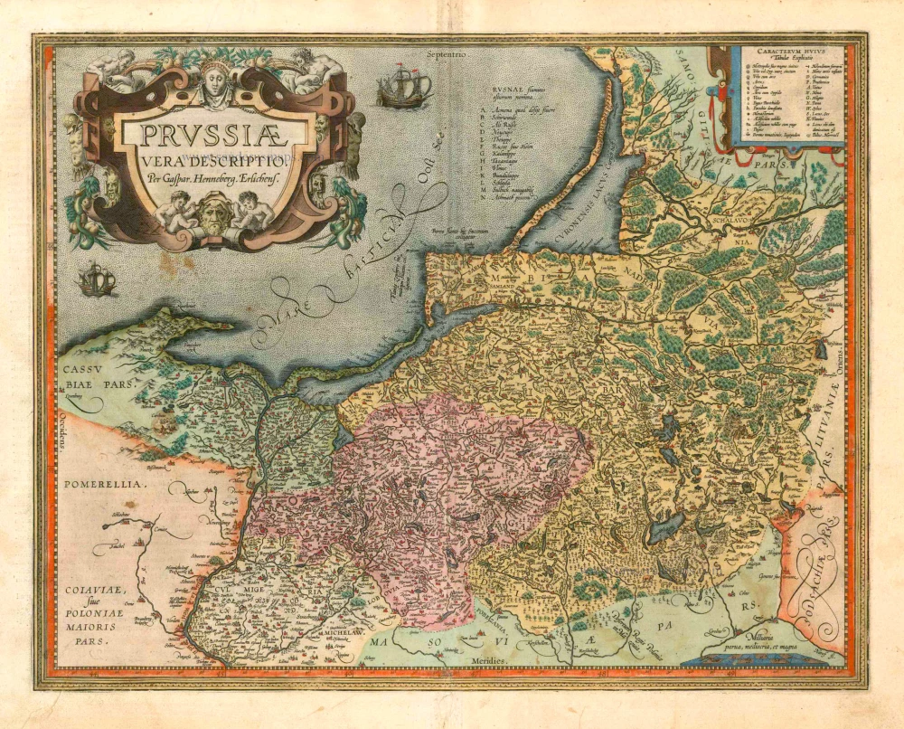
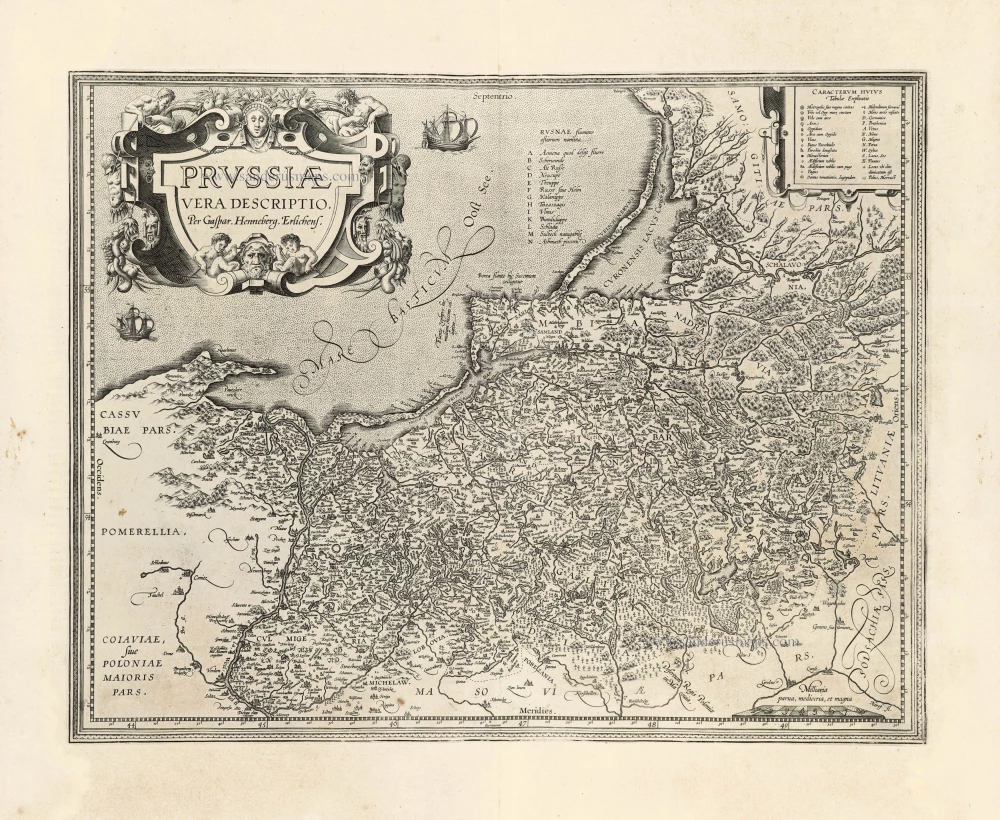
Prussiae Vera Descriptio. 1601
Prussia (Poland) by Abraham Ortelius.
[Item number: 25260]
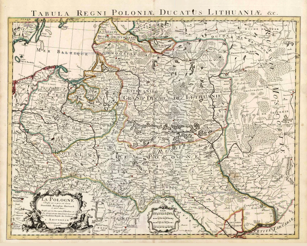
La Pologne Dressée sur ce qu'en ont donné Starovolsk, Beauplan, Hartnoch, et autres auteurs. [Latin title in upper margin:] Tabula Regni Poloniae, Ducatus Lithuaniae &c. 1730
Poland - Lithuania by Guillaume Delisle, published by Covens & Mortier.
[Item number: 25890]
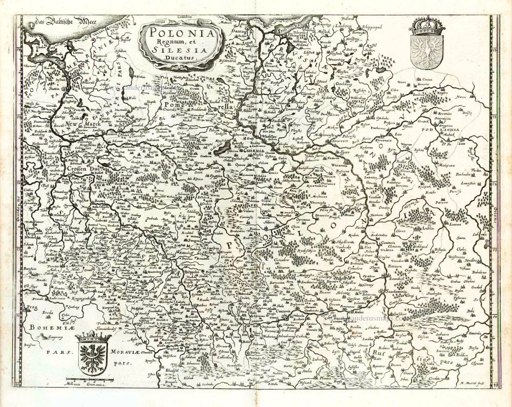
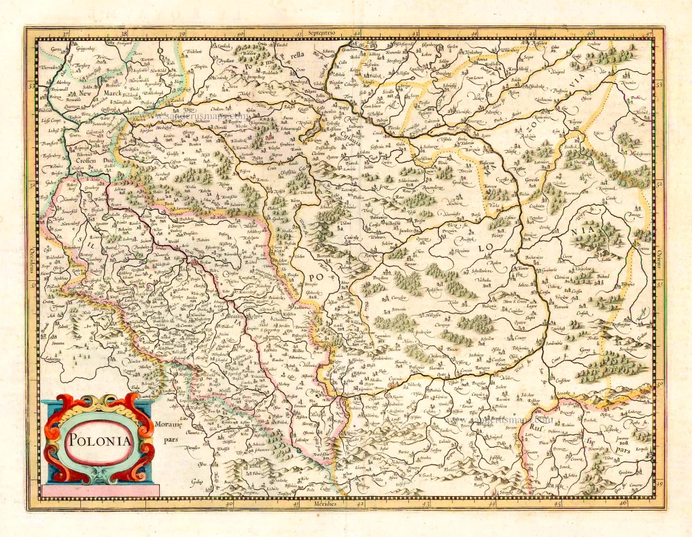
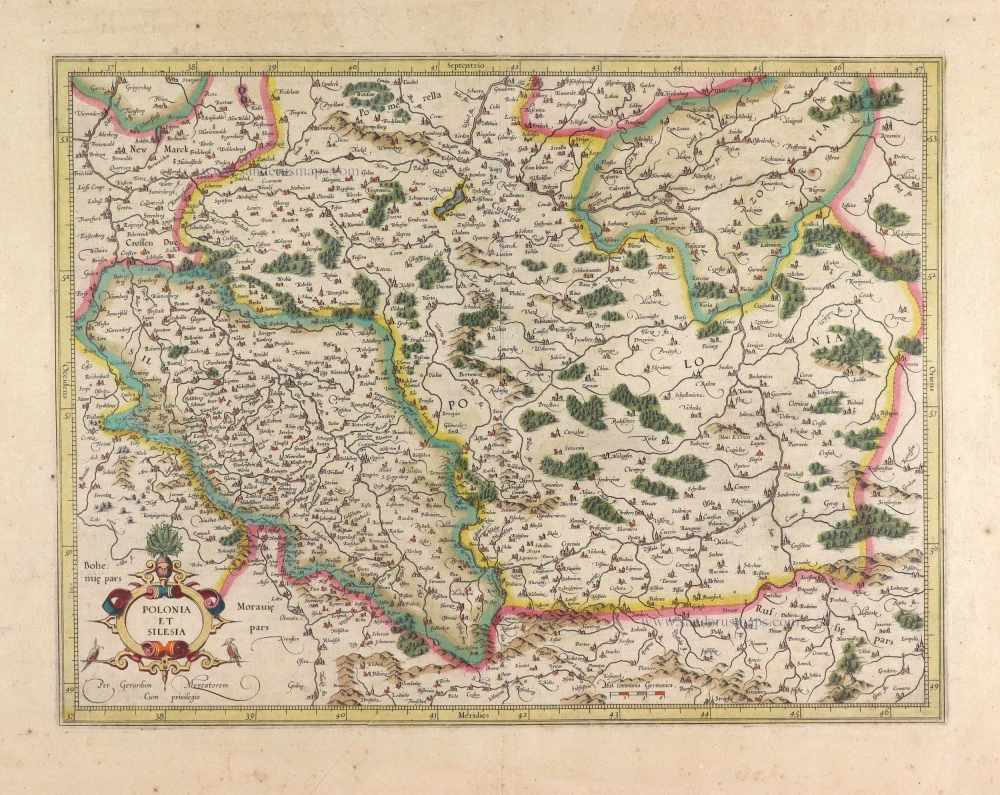
Polonia Regnum et Silesia Ducatus. 1638
Poland, by M. Merian.
[Item number: 25927]
Polonia. 1641
Poland, by Henricus Hondius.
[Item number: 26267]

Carte de la Lithuanie Russienne qui Comprend les Palatinats de Livonie, de Witepsk, de Miscislaw, et une Partie de ceux de Polock et de Minsk Cédés par la Pologne a la Russie. 1776-79
Bellarus and parts of Lithuania and Ukraine, by Francesco Santini.
[Item number: 26969]
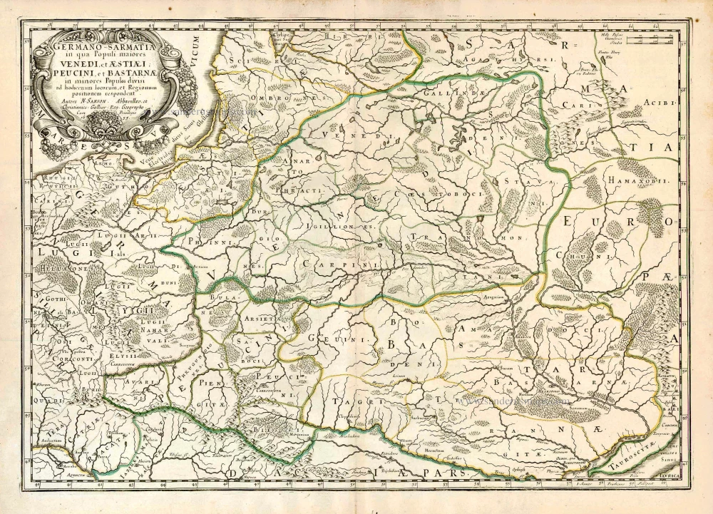
Germano-Sarmatia in qua populi maiores Venedi et Aestiaei Peucini et Bastarnae in minores populos divisi ad hodiernam locorum et regionum positionem respondent. 1658
Poland, Lithuania, Ukraine, Latvia, by Nicolas Sanson.
[Item number: 27918]
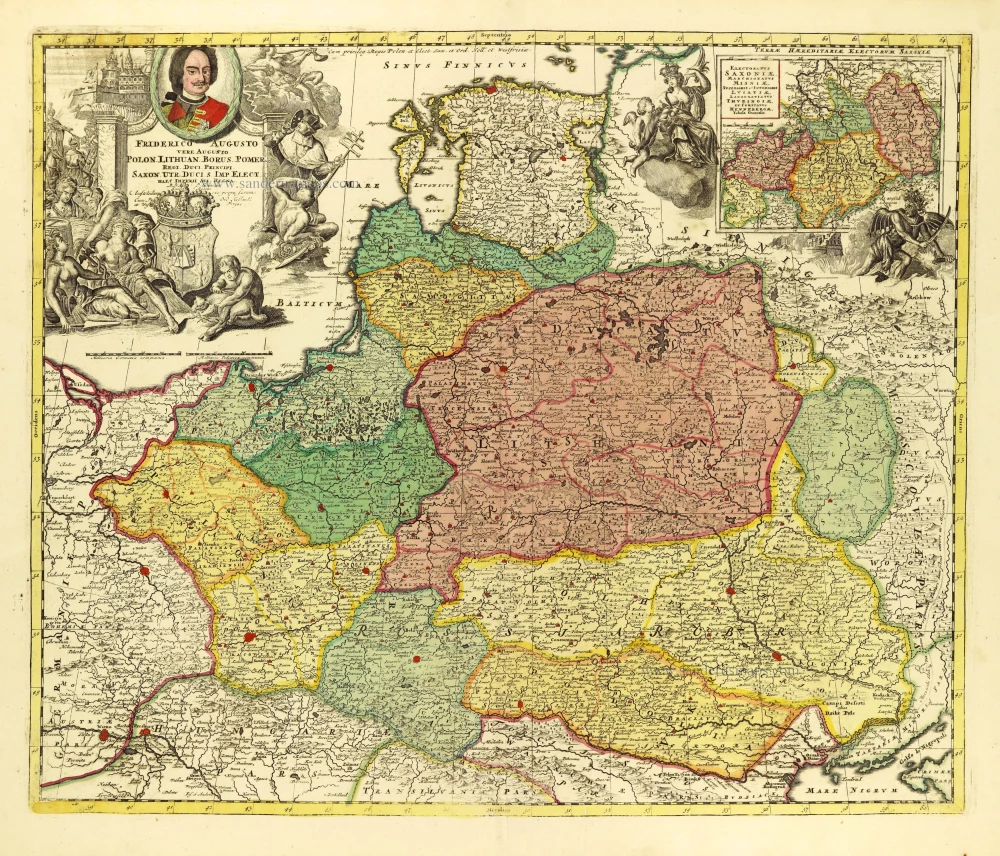
Friderico Augusto Vero Augusto Polon. Lithua. Borus. Pomer. Regi. Duci. Principi. Saxon. Utr. Duci. S. Imp. Elect. Haec. Imperii Sui Regna. c. 1715
Poland - Lithuania by Petrus Schenk.
[Item number: 28264]
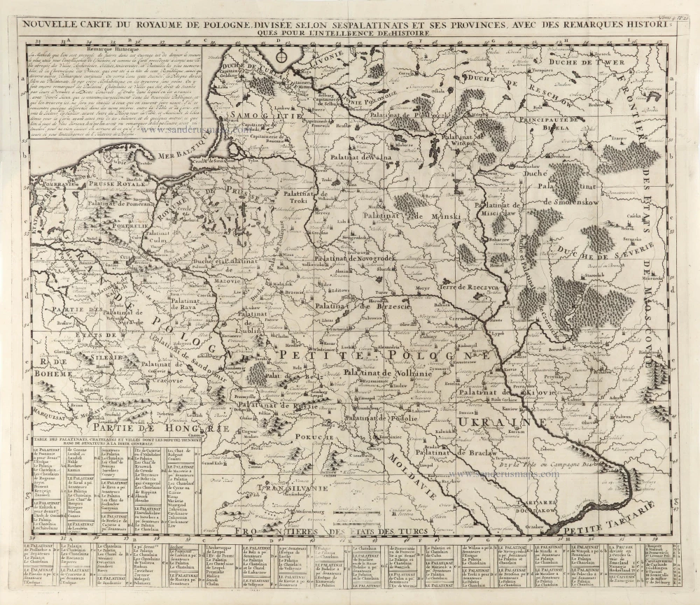
Nouvelle Carte du Royaume de Pologne, divisée selon ses Palatinats et ses Provinces, avec des Remarques Historiques pour l'Intelligence de l'Histoire. 1714
Poland by Zacharias Châtelain.
[Item number: 29427]
Polonia et Silesia. 1613
Poland, by Gerard Mercator.
[Item number: 29762]
Exceptional nice copy of the first edition
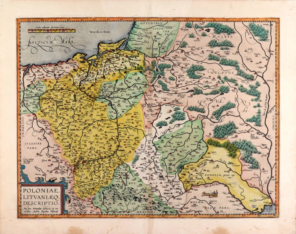
Poloniae, Lituaniaeq. Descriptio. 1595
Lithuania, Poland & Ukraine by Abraham Ortelius
[Item number: 29857]
Prussiae Vera Descriptio. 1601
Prussia (Poland) by Abraham Ortelius.
[Item number: 30679]

Li Palatinati di Wilna, Troji, Inflant, coi Ducati di Kurlandia, e Smuz. 1779-1785
Lithuania - Latvia, by Antonio Zatta.
[Item number: 32135]