
Poland, by Henricus Hondius. 1641


The Hondius Family
Jodocus Hondius the Elder (1563-1612)
Joost d’Hondt was born at Wakken (Flanders) in 1563. Two years later, his family settled in Ghent, where young Joost displayed an excellent gift for drawing and calligraphy. Through study and lessons, he developed his talents and became an engraver with a good reputation.
Due to the circumstances of the war, he moved to London in 1584, where he settled down as an engraver, instrument-maker, and map-maker. In 1587, he married Coletta van den Keere, sister of the well-known engraver Pieter van den Keere (Petrus Kaerius); some years earlier, his sister, Jacomina, had married Pieter van den Berghe (Petrus Montanus). Joost, who had Latinized his name to Jodocus Hondius, closely co-operated with his two brothers-in-law.
The political situation in the Northern Netherlands in 1593 was such that Jodocus seemed justified in establishing himself in Amsterdam, where many Antwerp printers, publishers, and engravers had gone. In this new centre of cartography, Jodocus Hondius set up his business “In de Wackere Hondt” (in the vigilant dog), this name being an allusion to his birthplace and name. He engraved many maps and published atlases and many other works, such as his continuation of Gerard Mercator’s Atlas.
He suddenly passed away in February 1612. The publishing firm of Jodocus Hondius was continued by his widow, later on, by his two sons, Jodocus Jr. and Henricus, and by his son-in-law, J. Janssonius.
Jodocus Hondius II (1594-1629) & Henricus Hondius (1597-1651)
After the father’s death, the widow and her seven children continued publishing the atlases under the name of Jodocus Hondius till 1620. The firm was reinforced by the very welcome help of Joannes Janssonius (1588-1664), who married 24-year-old Elisabeth Hondius in 1612. After 1619, Mercator’s Atlas was published under the name of Henricus Hondius.
One of the most dramatic events in the early history of commercial cartography in Amsterdam was the sale of Jodocus Hondius Jr.’s copper plates to Willem Jansz. Blaeu in 1629, the year of his death. At least 34 plates, from which Jodocus II had printed single-sheet maps for his benefit, passed into the hands of his great competitor. Immediately after that, his brother, Henricus, and Joannes Janssonius ordered the engraving of identical plates.
Henricus devoted all his energy to publishing the Atlas for an extended period. He saw its growth up to and including the fourth part in 1646; after that, his name no longer figures on the title pages. After 1638, the title of the Atlas was changed to Atlas Novus; Joannes Janssonius mainly carried it on.
The competition with the Blaeu's dates from 1630. In 1630, Willem Janszoon (=Blaeu) first attacked with his Atlantis Appendix. In 1635, Blaeu completed his Theatrum Orbis Terrarum in two volumes with French, Latin, Dutch, and German texts, prompting Henricus Hondius to speed up the enlargement of his Atlas.
Polonia.
Item Number: 26267 Authenticity Guarantee
Category: Antique maps > Europe > Eastern Europe
Poland, by Henricus Hondius.
Title: Polonia.
Cartographer: G. Mercator.
Date of the first edition: 1636.
Date of this map: 1641.
Copper engraving, printed on paper.
Size (not including margins): 345 x 458mm (13.58 x 18.03 inches).
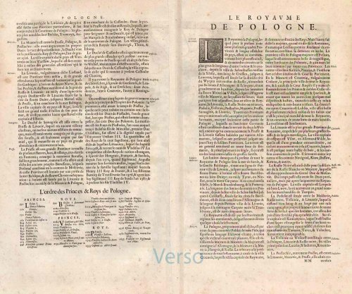
Verso: French text.
Condition: Original coloured, excellent.
Condition Rating: A+.
From: Nouveau Theatre du Monde ou Nouvel Atlas comprenant Les Tables et Descriptions de toutes les Regions de la Terre. Amsterdam, Henricus Hondius, 1641. (Van der Krogt 1, 412)
The Hondius Family
Jodocus Hondius the Elder (1563-1612)
Joost d’Hondt was born at Wakken (Flanders) in 1563. Two years later, his family settled in Ghent, where young Joost displayed an excellent gift for drawing and calligraphy. Through study and lessons, he developed his talents and became an engraver with a good reputation.
Due to the circumstances of the war, he moved to London in 1584, where he settled down as an engraver, instrument-maker, and map-maker. In 1587, he married Coletta van den Keere, sister of the well-known engraver Pieter van den Keere (Petrus Kaerius); some years earlier, his sister, Jacomina, had married Pieter van den Berghe (Petrus Montanus). Joost, who had Latinized his name to Jodocus Hondius, closely co-operated with his two brothers-in-law.
The political situation in the Northern Netherlands in 1593 was such that Jodocus seemed justified in establishing himself in Amsterdam, where many Antwerp printers, publishers, and engravers had gone. In this new centre of cartography, Jodocus Hondius set up his business “In de Wackere Hondt” (in the vigilant dog), this name being an allusion to his birthplace and name. He engraved many maps and published atlases and many other works, such as his continuation of Gerard Mercator’s Atlas.
He suddenly passed away in February 1612. The publishing firm of Jodocus Hondius was continued by his widow, later on, by his two sons, Jodocus Jr. and Henricus, and by his son-in-law, J. Janssonius.
Jodocus Hondius II (1594-1629) & Henricus Hondius (1597-1651)
After the father’s death, the widow and her seven children continued publishing the atlases under the name of Jodocus Hondius till 1620. The firm was reinforced by the very welcome help of Joannes Janssonius (1588-1664), who married 24-year-old Elisabeth Hondius in 1612. After 1619, Mercator’s Atlas was published under the name of Henricus Hondius.
One of the most dramatic events in the early history of commercial cartography in Amsterdam was the sale of Jodocus Hondius Jr.’s copper plates to Willem Jansz. Blaeu in 1629, the year of his death. At least 34 plates, from which Jodocus II had printed single-sheet maps for his benefit, passed into the hands of his great competitor. Immediately after that, his brother, Henricus, and Joannes Janssonius ordered the engraving of identical plates.
Henricus devoted all his energy to publishing the Atlas for an extended period. He saw its growth up to and including the fourth part in 1646; after that, his name no longer figures on the title pages. After 1638, the title of the Atlas was changed to Atlas Novus; Joannes Janssonius mainly carried it on.
The competition with the Blaeu's dates from 1630. In 1630, Willem Janszoon (=Blaeu) first attacked with his Atlantis Appendix. In 1635, Blaeu completed his Theatrum Orbis Terrarum in two volumes with French, Latin, Dutch, and German texts, prompting Henricus Hondius to speed up the enlargement of his Atlas.
Related items

Polonia. 1618
Poland, by Petrus Bertius.
[Item number: 18262]

Holsatiae Descriptio [on sheet with] Rugiae, Usedomiae, et Iulinae, Wandalicarum Insularum Vera Descriptio. 1601
Poland - Rügen - Holstein, by Ortelius A.
[Item number: 21277]

Polonia Regnum et Silesia Ducatus. 1638
Poland, by M. Merian.
[Item number: 25927]
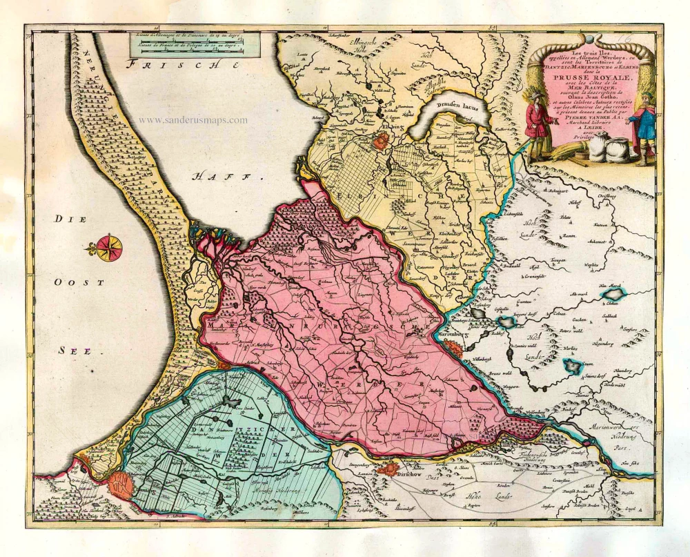
Les trois Iles, appellées en Allemand Werders, ou sont les Territoires de Dantzic, Marienbourg et Elbing dans la Prusse Royale, avec les Côtes de la Mer Baltique, suivant la description de Olaus Jean Gotho, ... 1713
Gdansk, Marlbork and Elblag, by Pieter van der Aa.
[Item number: 26041]

Carte de la Pologne Autrichienne Contenant la Russie Rouge et la Partie Méridionale du Palatinat de Cracovie. 1776-79
Poland, by Francesco Santini.
[Item number: 26966]

Nouvelle Carte du Royaume de Pologne, divisée selon ses Palatinats et ses Provinces, avec des Remarques Historiques pour l'Intelligence de l'Histoire. 1714
Poland by Zacharias Châtelain.
[Item number: 29427]

Polonia et Silesia. 1613
Poland, by Gerard Mercator.
[Item number: 29762]

Exceptional nice copy of the first edition
Poloniae, Lituaniaeq. Descriptio. 1595
Lithuania, Poland & Ukraine by Abraham Ortelius
[Item number: 29857]

Poloniae Nova et Descriptio. 1653
Poland by Johannes Janssonius.
[Item number: 30345]

Reise Charte durch das Könichreich Polen mit allen darzu gehörigen Laendern. c. 1745.
Poland by J.G. Schreiber.
[Item number: 31107]

Estats de Pologne Subdivises Suivant l'Estendue des Palatinats 1692
Poland by N. Sanson, so-called published by Hubert Jaillot. (Pirated edition by Pierre Mortier).
[Item number: 31436]

Poloigne Cassubie & Pomerellie. 1633
Poland by C. Tassin.
[Item number: 31754]

Polonia. 1618
Poland by Petrus Bertius, published by Jodocus Hondius II.
[Item number: 31855]
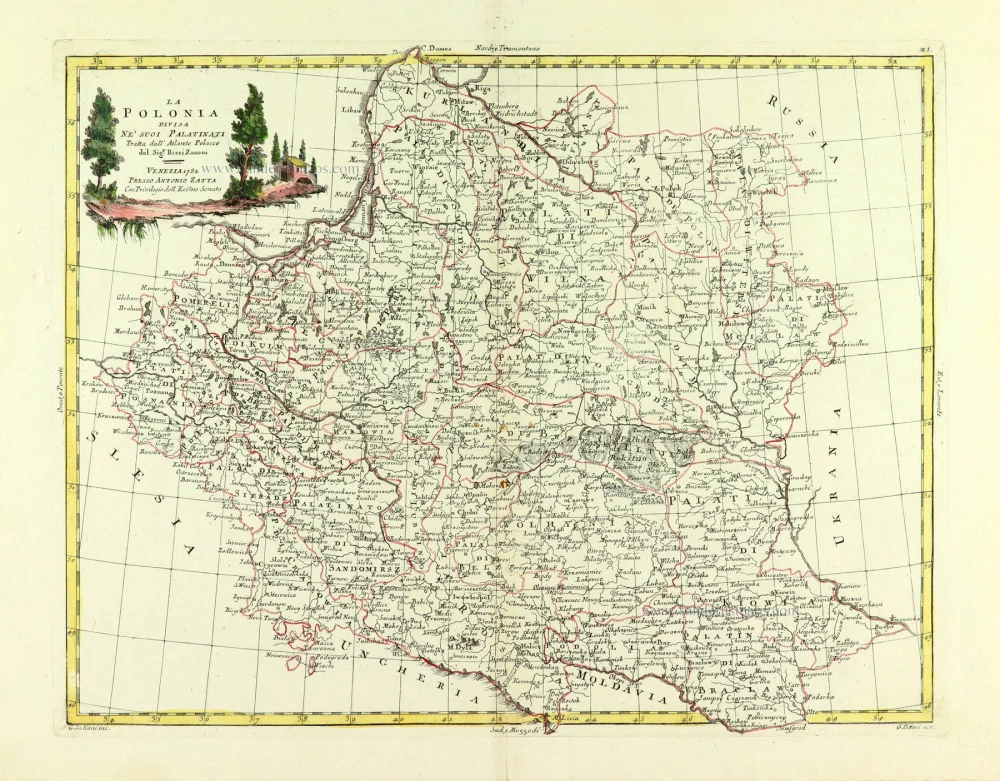
La Polonia divisa ne suoi Palatinati. 1779-1785
Poland, by Antonio Zatta.
[Item number: 32039]

Li Palatinati di Manzovia Rawa, e Plock. 1779-1785
Central Poland, by Antonio Zatta.
[Item number: 32040]

Li Palatinati di Posnania, Gniesno, Brzesc, Kalisz, e Inowroclaw. 1779-1785
Western Poland, by Antonio Zatta.
[Item number: 32041]

Li Palatinati di Cracowia, Lekzyca, Sieradz, Sandomir e Lublino 1779-1785
Central Poland, by Antonio Zatta.
[Item number: 32132]
Scarce
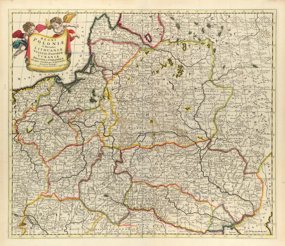
Regni Poloniae et Ducatus Lithuaniae Voliniae, Podoliae Ucraniae Prussiae et Curlandiae. c. 1680
Poland, Lithuania, and Ukraine by Justus Danckerts
[Item number: 32513]

Polonia Regnum et Silesia Ducatus. 1647
Poland by W. Blaeu.
[Item number: 32565]

Polonia Regnum et Silesia Ducatus. 1642-43
Poland and Silesia, by W. & J. Blaeu.
[Item number: 32580]

Reipublicae et Status Generalis Poloniae Nova Tabula, Comprehendens Maioris et Minoris Poloniae Regni Magni Ducatus Lithuaniae, Ducatus Prussiae, Curlandiae, Russiae, Ucraniae et Podoliae. c. 1691-97
Lithuania by Frederick de Wit.
[Item number: 32698]

RARE FIRST STATE
Stati della Corona di Polonia. 1684
Poland - Lithuania, by Nicolas Sanson, published by Giovanni Giacomo de Rossi.
[Item number: 32904]

Novissima Poloniae Regni Descriptio. 1666
Poland, by Johannes Janssonius.
[Item number: 33096]
new
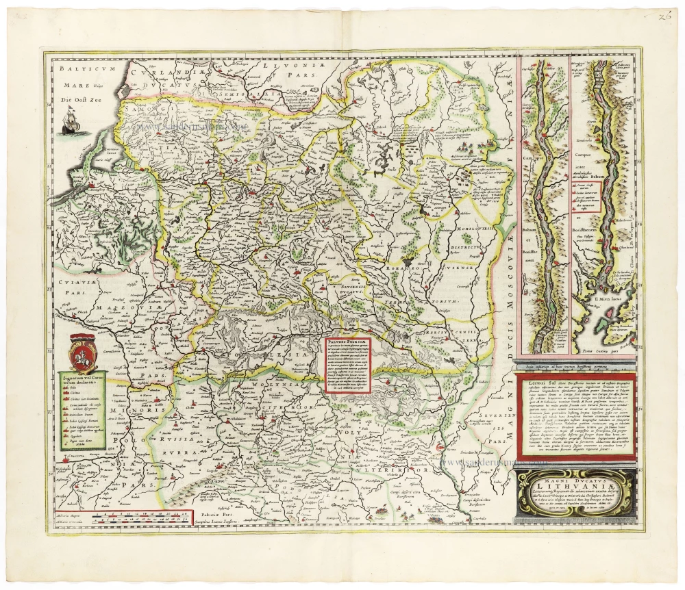
Magni Ducatus Lithuaniae Caeterarumq. Regionum Illi Adiacentium Exacta Descrip. . . . 1666
Lithuania by Johannes Janssonius.
[Item number: 33097]
new