
Western Poland, by Antonio Zatta. 1779-1785

Antonio Zatta (ca. 1722-1804)
Antonio Zatta was an influential Italian cartographer and publisher based in Venice during the 18th century. As one of the last great mapmakers of the Italian Enlightenment, Zatta played a crucial role in preserving and advancing the art of cartography at a time when Venice's status as a centre for mapmaking was in decline.
Little is known about his early life, but Zatta established himself as a prolific publisher and printer, producing a wide range of works including atlases, city plans, and historical maps. His most celebrated achievement is the Atlante Novissimo, published between 1775 and 1785. This monumental four-volume atlas is considered one of the finest Italian cartographic productions of its time. It combined contemporary geographical knowledge with elegant artistry, featuring detailed hand-coloured maps, elaborate title cartouches, and decorative embellishments characteristic of the late Baroque style.
Zatta’s work is notable for incorporating the latest geographical discoveries alongside classical and historical information, reflecting the Enlightenment's emphasis on reason, exploration, and empirical knowledge. He published maps covering all parts of the known world, including detailed representations of Europe, the Americas, and Asia, often updating older cartographic models with new data from explorers and diplomats.
Among his notable contributions is one of the earliest printed maps depicting the newly independent United States after the American Revolutionary War. Zatta's 1778 map, "Gli Stati Uniti della America Settentrionale," adapted English and French sources, marking a significant moment in the cartographic recognition of the United States.
Antonio Zatta's legacy endures through the beauty and precision of his maps, which continue to be prized by collectors and historians alike for their artistic merit and historical value. His works offer a window into the geographical understanding and visual culture of the 18th century, securing his place among the notable figures of cartographic history.
Li Palatinati di Posnania, Gniesno, Brzesc, Kalisz, e Inowroclaw.
Item Number: 32041 Authenticity Guarantee
Category: Antique maps > Europe > Eastern Europe
Western Poland, by Antonio Zatta.
Title: Li Palatinati di Posnania, Gniesno, Brzesc, Kalisz, e Inowroclaw.
Tratta dall' Atlante Polacco del sig.r Rizzi Zanoni.
Venezia 1781 | Presso Antonio Zatta.
Con Privilegio dell Eccmo Senato.
G. Zuliani inc. G Pitteri scr.
Engraver: Giuliano Zuliani & Giovanni Pitteri.
Date of the first edition: 1779-1785.
Date of this map: 1779-1785.
Date on map: 1781.
Copper engraving, printed on paper.
Image size: 320 x 410mm (12½ x 16¼ inches).
Sheet size: 390 x 500mm (15¼ x 19¾ inches).
Verso: Blank.
Condition: Original coloured, excellent.
Condition Rating: A+.
From: Atlante novissimo, illustrato ed accresciuto sulle osservazioni, e scoperte fatte dai più celebri e più recenti geografi, che ora per la prima volta si produce. Venice, Antonio Zatta, 1779-1785.
Antonio Zatta (ca. 1722-1804)
Antonio Zatta was an influential Italian cartographer and publisher based in Venice during the 18th century. As one of the last great mapmakers of the Italian Enlightenment, Zatta played a crucial role in preserving and advancing the art of cartography at a time when Venice's status as a centre for mapmaking was in decline.
Little is known about his early life, but Zatta established himself as a prolific publisher and printer, producing a wide range of works including atlases, city plans, and historical maps. His most celebrated achievement is the Atlante Novissimo, published between 1775 and 1785. This monumental four-volume atlas is considered one of the finest Italian cartographic productions of its time. It combined contemporary geographical knowledge with elegant artistry, featuring detailed hand-coloured maps, elaborate title cartouches, and decorative embellishments characteristic of the late Baroque style.
Zatta’s work is notable for incorporating the latest geographical discoveries alongside classical and historical information, reflecting the Enlightenment's emphasis on reason, exploration, and empirical knowledge. He published maps covering all parts of the known world, including detailed representations of Europe, the Americas, and Asia, often updating older cartographic models with new data from explorers and diplomats.
Among his notable contributions is one of the earliest printed maps depicting the newly independent United States after the American Revolutionary War. Zatta's 1778 map, "Gli Stati Uniti della America Settentrionale," adapted English and French sources, marking a significant moment in the cartographic recognition of the United States.
Antonio Zatta's legacy endures through the beauty and precision of his maps, which continue to be prized by collectors and historians alike for their artistic merit and historical value. His works offer a window into the geographical understanding and visual culture of the 18th century, securing his place among the notable figures of cartographic history.
Related items

Polonia. 1618
Poland, by Petrus Bertius.
[Item number: 18262]

Prussiae Vera Descriptio. 1601
Prussia (Poland) by Abraham Ortelius.
[Item number: 25260]

La Pologne Dressée sur ce qu'en ont donné Starovolsk, Beauplan, Hartnoch, et autres auteurs. [Latin title in upper margin:] Tabula Regni Poloniae, Ducatus Lithuaniae &c. 1730
Poland - Lithuania by Guillaume Delisle, published by Covens & Mortier.
[Item number: 25890]

Polonia Regnum et Silesia Ducatus. 1638
Poland, by M. Merian.
[Item number: 25927]

Polonia. 1641
Poland, by Henricus Hondius.
[Item number: 26267]

Carte de la Pologne Autrichienne Contenant la Russie Rouge et la Partie Méridionale du Palatinat de Cracovie. 1776-79
Poland, by Francesco Santini.
[Item number: 26966]

Polonia. 1609
Poland, by Abraham Ortelius.
[Item number: 27696]

Friderico Augusto Vero Augusto Polon. Lithua. Borus. Pomer. Regi. Duci. Principi. Saxon. Utr. Duci. S. Imp. Elect. Haec. Imperii Sui Regna. c. 1715
Poland - Lithuania by Petrus Schenk.
[Item number: 28264]

Nouvelle Carte du Royaume de Pologne, divisée selon ses Palatinats et ses Provinces, avec des Remarques Historiques pour l'Intelligence de l'Histoire. 1714
Poland by Zacharias Châtelain.
[Item number: 29427]

Polonia et Silesia. 1613
Poland, by Gerard Mercator.
[Item number: 29762]

Exceptional nice copy of the first edition
Poloniae, Lituaniaeq. Descriptio. 1595
Lithuania, Poland & Ukraine by Abraham Ortelius
[Item number: 29857]

Pomeraniae Ducatus Tabula. 1643
Poland - Pommern, by Willem Blaeu.
[Item number: 30238]

Poloniae Nova et Descriptio. 1653
Poland by Johannes Janssonius.
[Item number: 30345]

Prussiae Vera Descriptio. 1601
Prussia (Poland) by Abraham Ortelius.
[Item number: 30679]

Reise Charte durch das Könichreich Polen mit allen darzu gehörigen Laendern. c. 1745.
Poland by J.G. Schreiber.
[Item number: 31107]
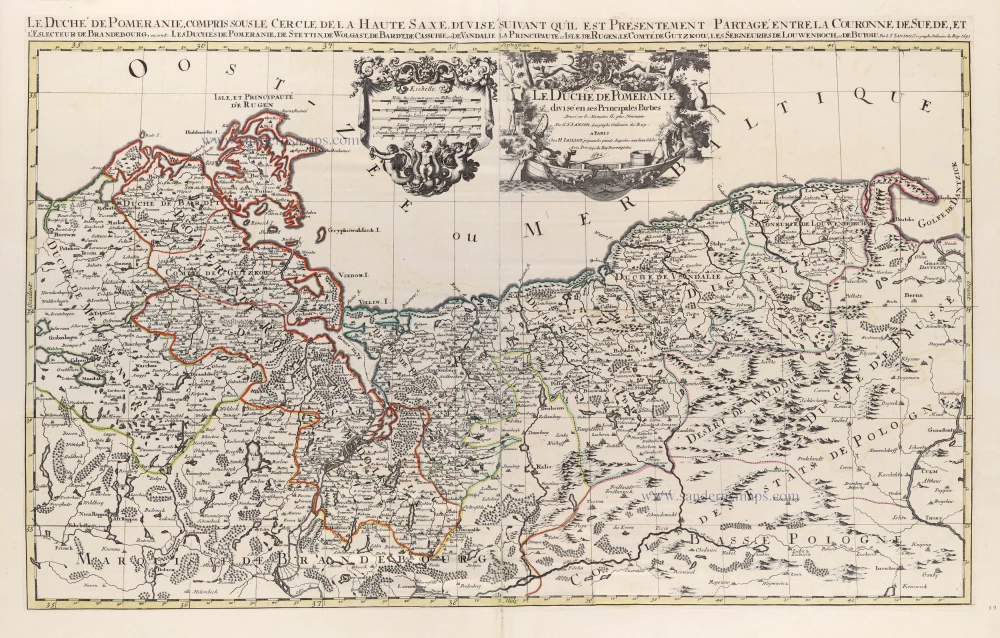
Le Duché de Pomeranie divisé en ses Principales Parties. 1692
Poland - Pomerania by N. Sanson, so-called published by Hubert Jaillot. (Pirated edition by Pierre Mortier).
[Item number: 31407]

Estats de Pologne Subdivises Suivant l'Estendue des Palatinats 1692
Poland by N. Sanson, so-called published by Hubert Jaillot. (Pirated edition by Pierre Mortier).
[Item number: 31436]

Dantzig. 1686
Poland - Gdansk (Danzig) by Christoph Riegel.
[Item number: 31707]

Poloigne Cassubie & Pomerellie. 1633
Poland by C. Tassin.
[Item number: 31754]
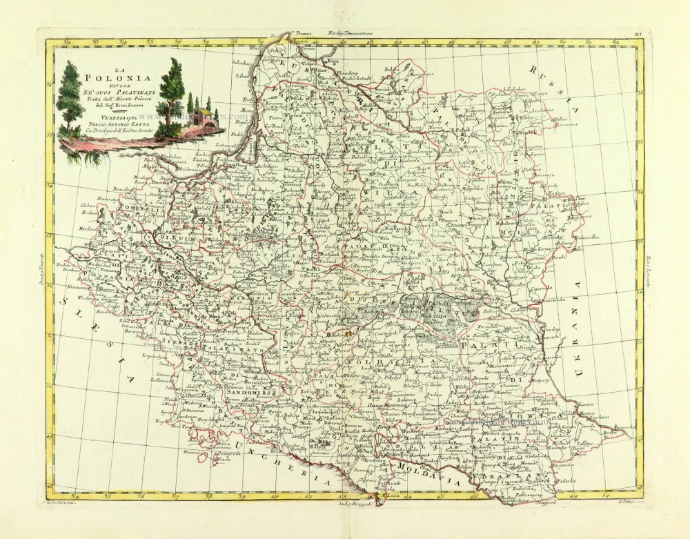
La Polonia divisa ne suoi Palatinati. 1779-1785
Poland, by Antonio Zatta.
[Item number: 32039]

Li Palatinati di Manzovia Rawa, e Plock. 1779-1785
Central Poland, by Antonio Zatta.
[Item number: 32040]

Li Palatinati di Cracowia, Lekzyca, Sieradz, Sandomir e Lublino 1779-1785
Central Poland, by Antonio Zatta.
[Item number: 32132]
Scarce
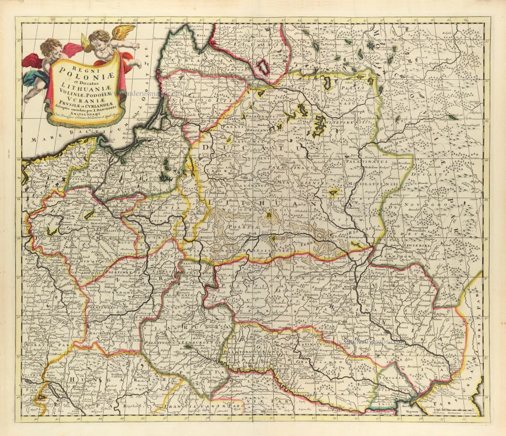
Regni Poloniae et Ducatus Lithuaniae Voliniae, Podoliae Ucraniae Prussiae et Curlandiae. c. 1680
Poland, Lithuania, and Ukraine by Justus Danckerts
[Item number: 32513]

Reipublicae et Status Generalis Poloniae Nova Tabula, Comprehendens Maioris et Minoris Poloniae Regni Magni Ducatus Lithuaniae, Ducatus Prussiae, Curlandiae, Russiae, Ucraniae et Podoliae. c. 1691-97
Lithuania by Frederick de Wit.
[Item number: 32698]

RARE FIRST STATE
Stati della Corona di Polonia. 1684
Poland - Lithuania, by Nicolas Sanson, published by Giovanni Giacomo de Rossi.
[Item number: 32904]
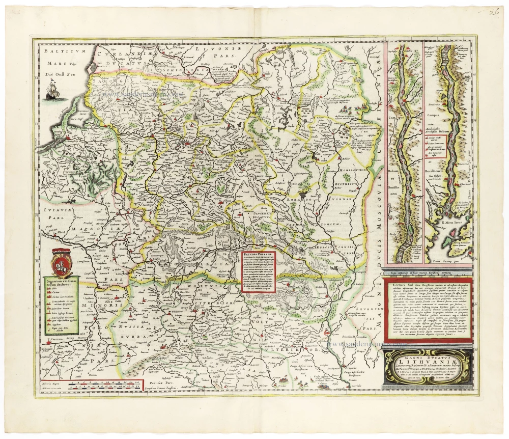
Magni Ducatus Lithuaniae Caeterarumq. Regionum Illi Adiacentium Exacta Descrip. . . . 1666
Lithuania by Johannes Janssonius.
[Item number: 33097]
new