
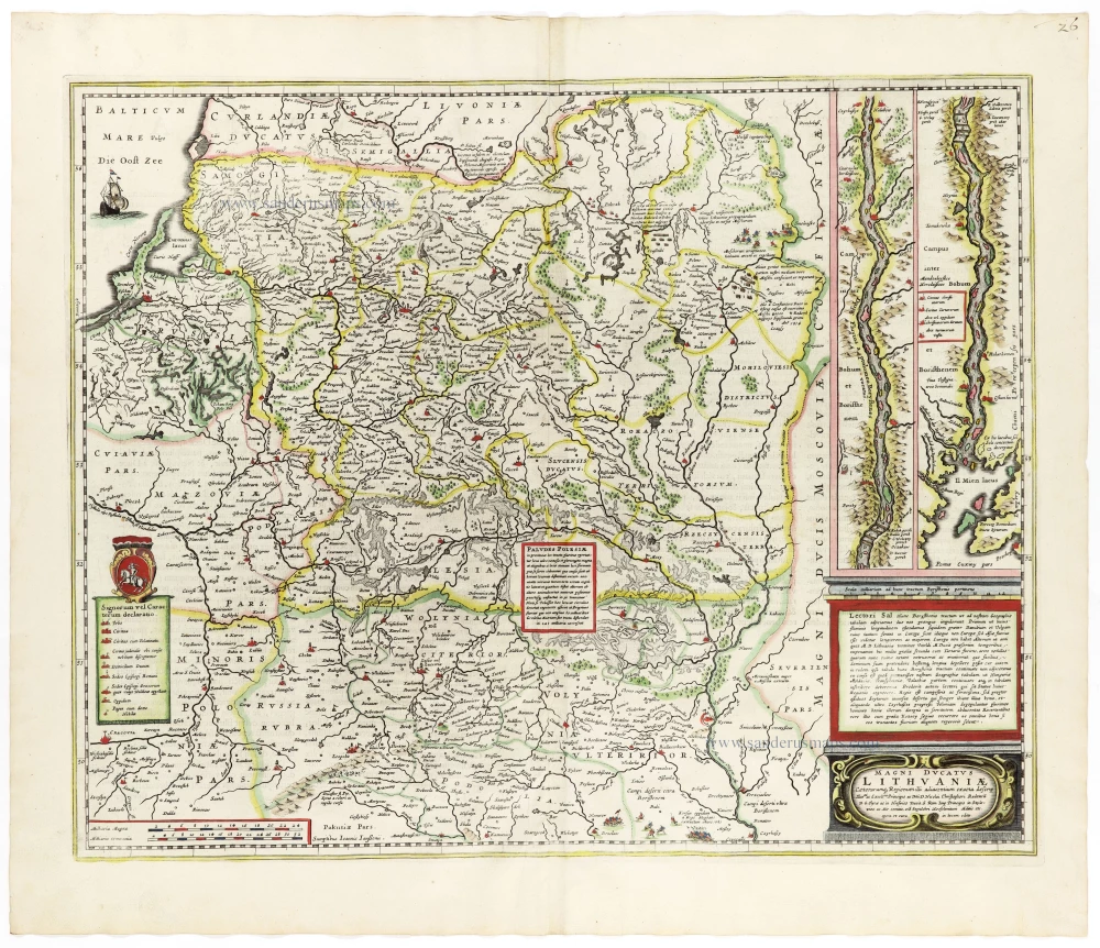
Lithuania by Frederick de Wit. c. 1691-97


Frederick de Wit (1630-1706)
The engraver and map-seller, Frederick de Wit, was born in Gouda (Netherlands) in 1630 as a son of Hendrick Fredericksz de Wit. Through his marriage with Maria van der Waag of Amsterdam in 1661, he obtained citizenship of the city where he had been working since 1648 and where he became one of the most famous engravers of maps of the second half of the 17th century. Although De Wit was a Catholic, which meant that he was not favoured at the time by the city council, he was awarded the honour of being listed as one of the "excellent citizens" on the roll of the city council in the years 1694-1704. However, his name was not written in the Guild of St. Luke book before 1664. At that time, he lived on the Kalverstraat "in de Witte Pascaert", where he stayed until his death in 1706. His earliest dates on maps engraved are 1659 (Regni Daniae) and 1660 (World map).
Frederick de Wit published several world atlases, a sea atlas, and an atlas of the Netherlands.
The dating of the maps is difficult. However, as a privilege was granted in 1689, the annotation 'cum privilegio' marks an edition after 1688.
Around 1700, Frederick de Wit entered the market with a town atlas. He produced two volumes with a total of 260 plans and views. Most were printed from plates used for Janssonius and Blaeu town atlases.
After he died in 1706, his widow continued the shop until 1709. The plates and stock of De Wit's atlas were sold to Covens & Mortier in 1710, who sold the atlas for an extended period.
Reipublicae et Status Generalis Poloniae Nova Tabula, Comprehendens Maioris et Minoris Poloniae Regni Magni Ducatus Lithuaniae, Ducatus Prussiae, Curlandiae, Russiae, Ucraniae et Podoliae.
Item Number: 32698 Authenticity Guarantee
Category: Antique maps > Europe > Eastern Europe
Poland - Lithuania by Frederick de Wit.
Title: Reipublicae et Status Generalis Poloniae Nova Tabula, Comprehendens Maioris et Minoris Poloniae Regni Magni Ducatus Lithuaniae, Ducatus Prussiae, Curlandiae, Russiae, Ucraniae et Podoliae.
Accuratam Descriptionem Per F. de Wit.
Amstelodami Cum Priv: D.D. Ordin: Holl. Westfrisiaeq.
Date of the first edition: c. 1662.
Date of this map: c. 1691-97.
Copper engraving, printed on paper.
Image size: 485 x 555mm (19 x 21¾ inches).
Sheet size: 525 x 600mm (20¾ x 23½ inches).
Verso: Blank.
Condition: Original coloured, excellent.
Condition Rating: A+.
From: De Wit Atlas. Amsterdam, c. 1691-97.
Frederick de Wit (1630-1706)
The engraver and map-seller, Frederick de Wit, was born in Gouda (Netherlands) in 1630 as a son of Hendrick Fredericksz de Wit. Through his marriage with Maria van der Waag of Amsterdam in 1661, he obtained citizenship of the city where he had been working since 1648 and where he became one of the most famous engravers of maps of the second half of the 17th century. Although De Wit was a Catholic, which meant that he was not favoured at the time by the city council, he was awarded the honour of being listed as one of the "excellent citizens" on the roll of the city council in the years 1694-1704. However, his name was not written in the Guild of St. Luke book before 1664. At that time, he lived on the Kalverstraat "in de Witte Pascaert", where he stayed until his death in 1706. His earliest dates on maps engraved are 1659 (Regni Daniae) and 1660 (World map).
Frederick de Wit published several world atlases, a sea atlas, and an atlas of the Netherlands.
The dating of the maps is difficult. However, as a privilege was granted in 1689, the annotation 'cum privilegio' marks an edition after 1688.
Around 1700, Frederick de Wit entered the market with a town atlas. He produced two volumes with a total of 260 plans and views. Most were printed from plates used for Janssonius and Blaeu town atlases.
After he died in 1706, his widow continued the shop until 1709. The plates and stock of De Wit's atlas were sold to Covens & Mortier in 1710, who sold the atlas for an extended period.
Related items

Polonia. 1618
Poland, by Petrus Bertius.
[Item number: 18262]

Holsatiae Descriptio [on sheet with] Rugiae, Usedomiae, et Iulinae, Wandalicarum Insularum Vera Descriptio. 1601
Poland - Rügen - Holstein, by Ortelius A.
[Item number: 21277]

Prussiae Vera Descriptio. 1601
Prussia (Poland) by Abraham Ortelius.
[Item number: 25260]

La Pologne Dressée sur ce qu'en ont donné Starovolsk, Beauplan, Hartnoch, et autres auteurs. [Latin title in upper margin:] Tabula Regni Poloniae, Ducatus Lithuaniae &c. 1730
Poland - Lithuania by Guillaume Delisle, published by Covens & Mortier.
[Item number: 25890]

Polonia Regnum et Silesia Ducatus. 1638
Poland, by M. Merian.
[Item number: 25927]

Polonia. 1641
Poland, by Henricus Hondius.
[Item number: 26267]

Carte de la Pologne Autrichienne Contenant la Russie Rouge et la Partie Méridionale du Palatinat de Cracovie. 1776-79
Poland, by Francesco Santini.
[Item number: 26966]

Polonia. 1609
Poland, by Abraham Ortelius.
[Item number: 27696]

Germano-Sarmatia in qua populi maiores Venedi et Aestiaei Peucini et Bastarnae in minores populos divisi ad hodiernam locorum et regionum positionem respondent. 1658
Poland, Lithuania, Ukraine, Latvia, by Nicolas Sanson.
[Item number: 27918]

Friderico Augusto Vero Augusto Polon. Lithua. Borus. Pomer. Regi. Duci. Principi. Saxon. Utr. Duci. S. Imp. Elect. Haec. Imperii Sui Regna. c. 1715
Poland - Lithuania by Petrus Schenk.
[Item number: 28264]

Nouvelle Carte du Royaume de Pologne, divisée selon ses Palatinats et ses Provinces, avec des Remarques Historiques pour l'Intelligence de l'Histoire. 1714
Poland by Zacharias Châtelain.
[Item number: 29427]

Polonia et Silesia. 1613
Poland, by Gerard Mercator.
[Item number: 29762]

Exceptional nice copy of the first edition
Poloniae, Lituaniaeq. Descriptio. 1595
Lithuania, Poland & Ukraine by Abraham Ortelius
[Item number: 29857]

Poloniae Nova et Descriptio. 1653
Poland by Johannes Janssonius.
[Item number: 30345]

Prussiae Vera Descriptio. 1601
Prussia (Poland) by Abraham Ortelius.
[Item number: 30679]

Reise Charte durch das Könichreich Polen mit allen darzu gehörigen Laendern. c. 1745.
Poland by J.G. Schreiber.
[Item number: 31107]

Estats de Pologne Subdivises Suivant l'Estendue des Palatinats 1692
Poland by N. Sanson, so-called published by Hubert Jaillot. (Pirated edition by Pierre Mortier).
[Item number: 31436]

Poloigne Cassubie & Pomerellie. 1633
Poland by C. Tassin.
[Item number: 31754]

La Slesia Super[ia] divisa ne suoi Principati 1779-1785
Upper Silesia (Poland), by Antonio Zatta.
[Item number: 31808]

Oswieczimensis et Zatoriensis Ducat. 1618
Oswiecim & Zator (Poland) by Petrus Bertius, published by Jodocus Hondius II.
[Item number: 31854]
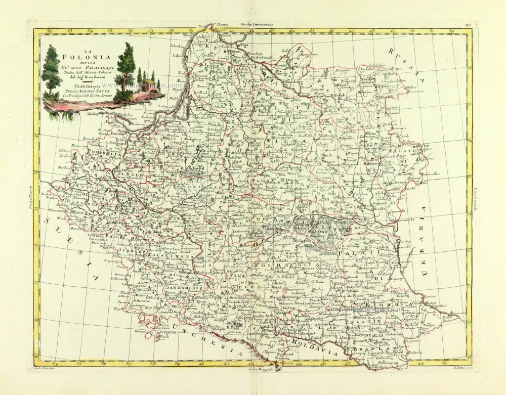
La Polonia divisa ne suoi Palatinati. 1779-1785
Poland, by Antonio Zatta.
[Item number: 32039]

Li Palatinati di Manzovia Rawa, e Plock. 1779-1785
Central Poland, by Antonio Zatta.
[Item number: 32040]

Li Palatinati di Posnania, Gniesno, Brzesc, Kalisz, e Inowroclaw. 1779-1785
Western Poland, by Antonio Zatta.
[Item number: 32041]

Li Palatinati di Nowogrodek Podlachia e Brzesk Littew. 1779-1785
Eastern Poland & part of Belarus, by Antonio Zatta.
[Item number: 32043]

Li Palatinati di Cracowia, Lekzyca, Sieradz, Sandomir e Lublino 1779-1785
Central Poland, by Antonio Zatta.
[Item number: 32132]

Ducatuum Livoniae et Curlandiae cum vicinis Insulis c. 1720
Livonia & Curlandia (Latvia), by J.B. Homann.
[Item number: 32273]
Scarce
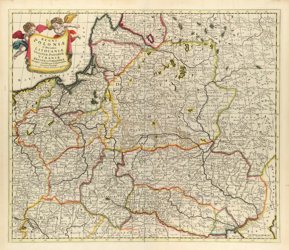
Regni Poloniae et Ducatus Lithuaniae Voliniae, Podoliae Ucraniae Prussiae et Curlandiae. c. 1680
Poland, Lithuania, and Ukraine by Justus Danckerts
[Item number: 32513]
Magni Ducatus Lithuaniae Caeterarumq. Regionum Illi Adiacentium Exacta Descrip. . . . 1666
Lithuania by Johannes Janssonius.
[Item number: 33097]
new