
Garonne region by Jean Leclerc. c. 1610-1650

Jean Le Clerc (1560-c. 1622)
Geographer, publisher, and engraver, fourth in a dynasty of printers and booksellers. Trades from 'Rue S. Jean de Latran à la Sallemandre Royalle'. He worked for a while for Maurice Bouguereau, the plates for whose Le Théâtre François passed to Leclerc sometime before 1619. These formed the core of his own Théâtre.
La Carte du Bourdelois, du Pays de Medoc, et de la Prevosté de Born.
Item Number: 30889 Authenticity Guarantee
Category: Antique maps > Europe > France
Rare map of the Garonne Medoc regions by Jean Leclerc.
Title: La Carte du Bourdelois, du Pays de Medoc, et de la Prevosté de Born.
Jean le Clerc excudit. Cum privilegio Regis.
Salomon Rogers sculp.
Oriented to the east.
Engraver: Salomon Rogers.
Date of the first edition: 1619.
Date of this map: c. 1630-1633.
Date on map: 1628.
Copper engraving, printed on heavy paper.
Image size: 330 x 455mm (12.99 x 17.91 inches).
Sheet size: 505 x 685mm (19.88 x 26.97 inches).
Verso: Blank.
Condition: Original coloured, side margins extended; excellent.
Condition Rating: A+.
Separate publication - from a French Composite Atlas, c. 1610-1650.
Appeared in: Theatre geographique du royaume de France. Paris, Jean Le Clerc, 1619. (Pastoureau, Leclerc A 1619)
Jean Le Clerc (1560-c. 1622)
Geographer, publisher, and engraver, fourth in a dynasty of printers and booksellers. Trades from 'Rue S. Jean de Latran à la Sallemandre Royalle'. He worked for a while for Maurice Bouguereau, the plates for whose Le Théâtre François passed to Leclerc sometime before 1619. These formed the core of his own Théâtre.
Related items

Rare
Description de la Ville de Bourdeaux Cappitalle de la Guienne et Grand Port de Mer. 1648
Bordeaux by J. Boisseau.
[Item number: 25928]

Bourdelois, Pays de Medoc, et la Prevoste de Born. 1641
The Medoc and Les Landes, by J. & H. Hondius.
[Item number: 26290]
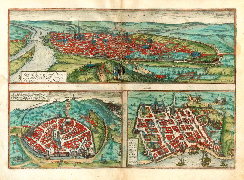
Rotomagus, vulgo Roan, Normandiae Metropolis [on sheet with] Nemavsus, Nismes, Civitas Narbonensie Galliae Vetustissima [and] Civitas Burdegalensis in Aquitanea, Genuina Descrip. 1582
Rouen - Nîmes - Bordeaux, by Braun Georg & Hogenberg Frans.
[Item number: 26680]

Le vif pourtraict de la Cité de Bourdeaux. 1575
Bordeaux, by François de Belleforest.
[Item number: 27262]

Bourdeaux ancienement Burdigala, Ville Capitale de la Guienne, avec Siege Archiepiscopale, Parlement, Sénéchaussée, Chambre des Comptes, Cour des Aides, Intendance c. 1780
Bordeaux by Pierre Aveline, published in Paris by Jean.
[Item number: 28793]

Paskaart van de Garomne of Rivier van Bordeaux. 1709
Sea chart of the mouth of the Garonne, by J. van Keulen.
[Item number: 31430]