
The Territory of Frankfurt am Main by J. Blaeu 1649-55
The item displayed on this page has been sold. However, we have a similar map in stock:
The Territory of Frankfurt am Main by J. Blaeu 1643
Novam Hanc Territorii Francofurtensis Tabulam ...
[Item number: 29904]

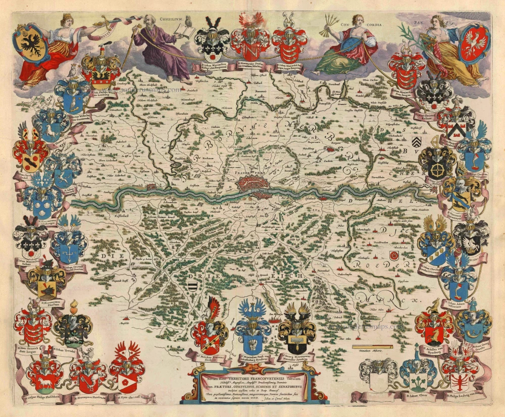
Joan and Cornelis Blaeu dedicate this new map of the Territory of Frankfurt to "The noblest, most magnificent and most prudent lords, the sheriff, burgomasters, aldermen and councillors of this famous city and republic of Frankfurt, most distinguished, most friendly and most incorruptible men, to these their lord protectors, with humble reverence."
The 34 coats of arms of the magistrates of Frankfurt are depicted around the margins. Above the map are personifications of justice (Justicia), Counsel (Consilium), Unity (Concordia) and Peace (Pax), the first with the arms of the Holy Roman Empire and the last with the arms of the city of Frankfurt.
Among the potential purchasers of Blaeu's magnificent atlases would have been the two mayers of Frankfurt and their council of magistrates, the men whose coats of arms surround this sheet. Neither a town plan nor a remarkably detailed topographical map, this picture of the area up to ten miles around Frankfurt was primarily intended to flatter this powerful ruling group. A rebellion twenty-five years earlier had been directed explicitly at the magistracy. Still, the duplication of family names (discernible in the repeated coats of arms) shows how dismally it had failed to alter the oligarchic structure of the society.
The Blaeus: Willem Janszoon, Cornelis & Joan
Willem Jansz. Blaeu and his son Joan Blaeu are the seventeenth century's most widely known cartographic publishers.
Willem Jansz. (also written Guilielmus Janssonius) = Willem Janszoon Blaeu was born in Uitgeest (Netherlands), near Alkmaar, in 1571. He studied mathematics under Tycho Brahe and learned the theory and practice of astronomical observations and the art of instrument- and globe-making.
In 1596, he came to Amsterdam, where he settled down as a globe-, instrument- and mapmaker. He published his first cartographic work (a globe) in 1599 and probably published his first printed map (a map of the Netherlands) in 1604. He specialised in maritime cartography, published the first edition of the pilot guide Het Licht der Zeevaert in 1608, and was appointed Hydrographer of the V.O.C. (United East India Company) in 1633. After publishing books, wall maps, globes, charts and pilot guides for thirty years, he brought out his first atlas, Atlas Appendix (1630). This was the beginning of the great tradition of atlas-making by the Blaeus.
In 1618, another mapmaker, bookseller and publisher, Johannes Janssonius, established himself in Amsterdam next door to Blaeu's shop. No wonder these two neighbours began accusing each other of copying and stealing their information and became fierce competitors who did not have a good word to say about each other. In about 1621 Willem Jansz. decided to end the confusion between his name and his competitor's and assumed his grandfather's nickname, 'blauwe Willem' ('blue Willem'), as the family name; after that, he called himself Willem Jansz. Blaeu.
Willem Janszoon Blaeu died in 1638, leaving his prospering business to his sons, Cornelis and Joan. We only know that Cornelis's name occurs in the prefaces of books and atlases until c. 1645.
Joan Blaeu, born in Amsterdam in 1596, became a partner in his father's book trade and printing business. 1638, he was appointed his father's successor in the Hydrographic Office of the V.O.C. His efforts culminated in the magnificent Atlas Major and the town books of the Netherlands and Italy – works unsurpassed in history and modern times, giving eternal fame to the name of the Blaeu's.
A fire ruined the business on February 23, 1672, and one year later, Dr. Joan Blaeu died. The fire and the director's passing caused the complete sale of the Blaeu House's stock. Five public auctions dispersed the remaining books, atlases, copperplates, globes, etc., among many other map dealers and publishers in Amsterdam. The majority was acquired by several booksellers acting in partnership.
In the succeeding years, the remaining printing department remained in the hands of the Blaeu family until 1695, when the printing house's inventory was sold at a public auction. That meant the end of the Blaeu family as a printing house of world renown.
Novam Hanc Territorii Francofurtensis Tabulam ...
Item Number: 3276 Authenticity Guarantee
Category: Antique maps > Europe > Germany
Old, antique map of The Territory of Frankfurt am Main by J. Blaeu.
Title: Novam Hanc Territorii Francofurtensis Tabulam ...
Dedicated to the Council of Fankfurt by Joan and Cornelius Blaeu.
Date of the first edition: 1640.
Date of this map: 1649-55.
Copper engraving, printed on paper.
Map size: 450 x 545mm (17.72 x 21.46 inches).
Sheet size: 520 x 625mm (20.47 x 24.61 inches).
Verso: Latin text.
Condition: Original coloured, excellent.
Condition Rating: A+.
From: Theatrum Orbis Terrarum.. J. Blaeu, 1649-55. (Van der Krogt 2, 2:203)
Joan and Cornelis Blaeu dedicate this new map of the Territory of Frankfurt to "The noblest, most magnificent and most prudent lords, the sheriff, burgomasters, aldermen and councillors of this famous city and republic of Frankfurt, most distinguished, most friendly and most incorruptible men, to these their lord protectors, with humble reverence."
The 34 coats of arms of the magistrates of Frankfurt are depicted around the margins. Above the map are personifications of justice (Justicia), Counsel (Consilium), Unity (Concordia) and Peace (Pax), the first with the arms of the Holy Roman Empire and the last with the arms of the city of Frankfurt.
Among the potential purchasers of Blaeu's magnificent atlases would have been the two mayers of Frankfurt and their council of magistrates, the men whose coats of arms surround this sheet. Neither a town plan nor a remarkably detailed topographical map, this picture of the area up to ten miles around Frankfurt was primarily intended to flatter this powerful ruling group. A rebellion twenty-five years earlier had been directed explicitly at the magistracy. Still, the duplication of family names (discernible in the repeated coats of arms) shows how dismally it had failed to alter the oligarchic structure of the society.
The Blaeus: Willem Janszoon, Cornelis & Joan
Willem Jansz. Blaeu and his son Joan Blaeu are the seventeenth century's most widely known cartographic publishers.
Willem Jansz. (also written Guilielmus Janssonius) = Willem Janszoon Blaeu was born in Uitgeest (Netherlands), near Alkmaar, in 1571. He studied mathematics under Tycho Brahe and learned the theory and practice of astronomical observations and the art of instrument- and globe-making.
In 1596, he came to Amsterdam, where he settled down as a globe-, instrument- and mapmaker. He published his first cartographic work (a globe) in 1599 and probably published his first printed map (a map of the Netherlands) in 1604. He specialised in maritime cartography, published the first edition of the pilot guide Het Licht der Zeevaert in 1608, and was appointed Hydrographer of the V.O.C. (United East India Company) in 1633. After publishing books, wall maps, globes, charts and pilot guides for thirty years, he brought out his first atlas, Atlas Appendix (1630). This was the beginning of the great tradition of atlas-making by the Blaeus.
In 1618, another mapmaker, bookseller and publisher, Johannes Janssonius, established himself in Amsterdam next door to Blaeu's shop. No wonder these two neighbours began accusing each other of copying and stealing their information and became fierce competitors who did not have a good word to say about each other. In about 1621 Willem Jansz. decided to end the confusion between his name and his competitor's and assumed his grandfather's nickname, 'blauwe Willem' ('blue Willem'), as the family name; after that, he called himself Willem Jansz. Blaeu.
Willem Janszoon Blaeu died in 1638, leaving his prospering business to his sons, Cornelis and Joan. We only know that Cornelis's name occurs in the prefaces of books and atlases until c. 1645.
Joan Blaeu, born in Amsterdam in 1596, became a partner in his father's book trade and printing business. 1638, he was appointed his father's successor in the Hydrographic Office of the V.O.C. His efforts culminated in the magnificent Atlas Major and the town books of the Netherlands and Italy – works unsurpassed in history and modern times, giving eternal fame to the name of the Blaeu's.
A fire ruined the business on February 23, 1672, and one year later, Dr. Joan Blaeu died. The fire and the director's passing caused the complete sale of the Blaeu House's stock. Five public auctions dispersed the remaining books, atlases, copperplates, globes, etc., among many other map dealers and publishers in Amsterdam. The majority was acquired by several booksellers acting in partnership.
In the succeeding years, the remaining printing department remained in the hands of the Blaeu family until 1695, when the printing house's inventory was sold at a public auction. That meant the end of the Blaeu family as a printing house of world renown.
Related items
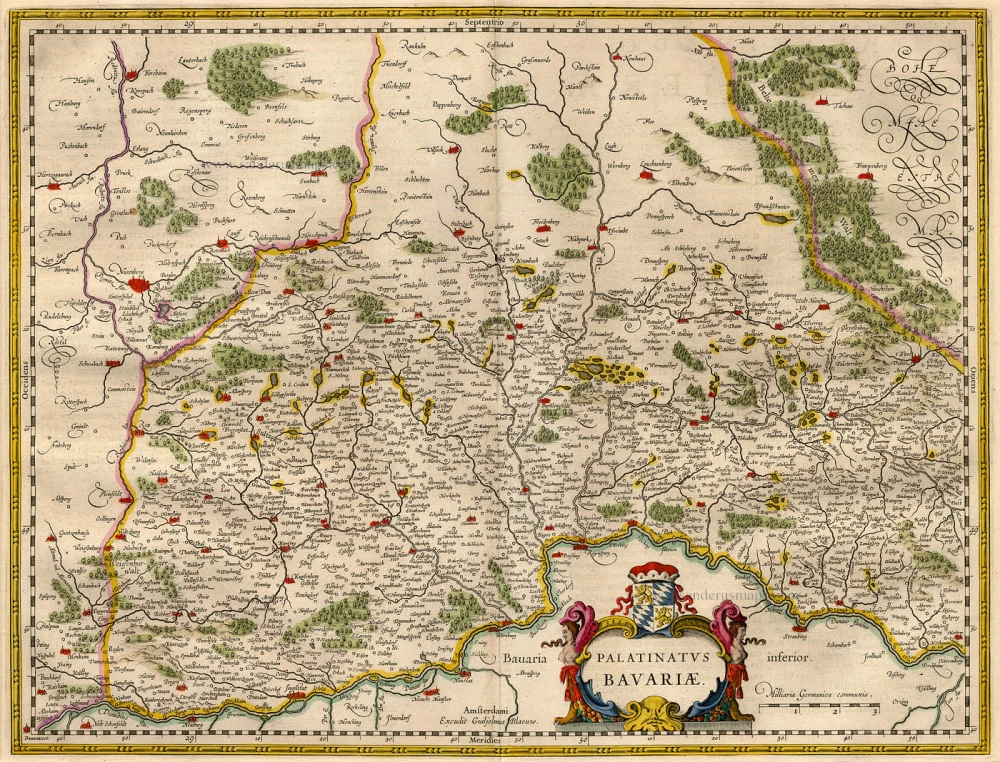
Palatinatus Bavariae. 1659-72
The Oberpfalz, by Willem Blaeu.
[Item number: 9806]
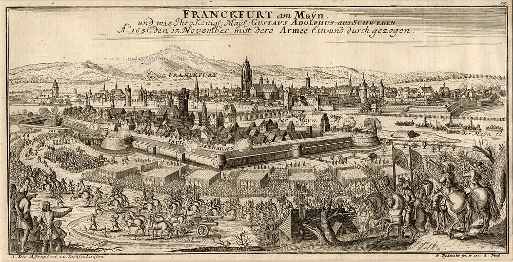
Franckfurt am Mayn, ... 1720
Frankfurt am Main, by Bodenehr G.
[Item number: 13335]

Francfurt am Main c.1716
Frankfurt am Main by G. Bodenehr.
[Item number: 13428]
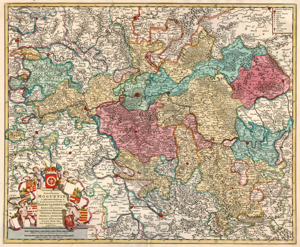
Archiepiscopatus et Electoratus Moguntini et adjacentium Regionum, ut Landgraviatuum Hasso Darmstadiensis et Rhenofeldensis ... 1721-41
Frankfurt, by F. de Wit - Covens & Mortier.
[Item number: 23833]
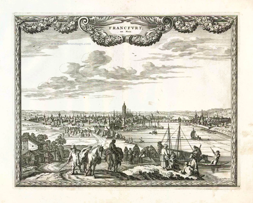
Francfurt, am Main. 1658/60
Frankfurt am Main, by Nicolaes Visscher & Pieter Hendricksz. Schut.
[Item number: 26652]
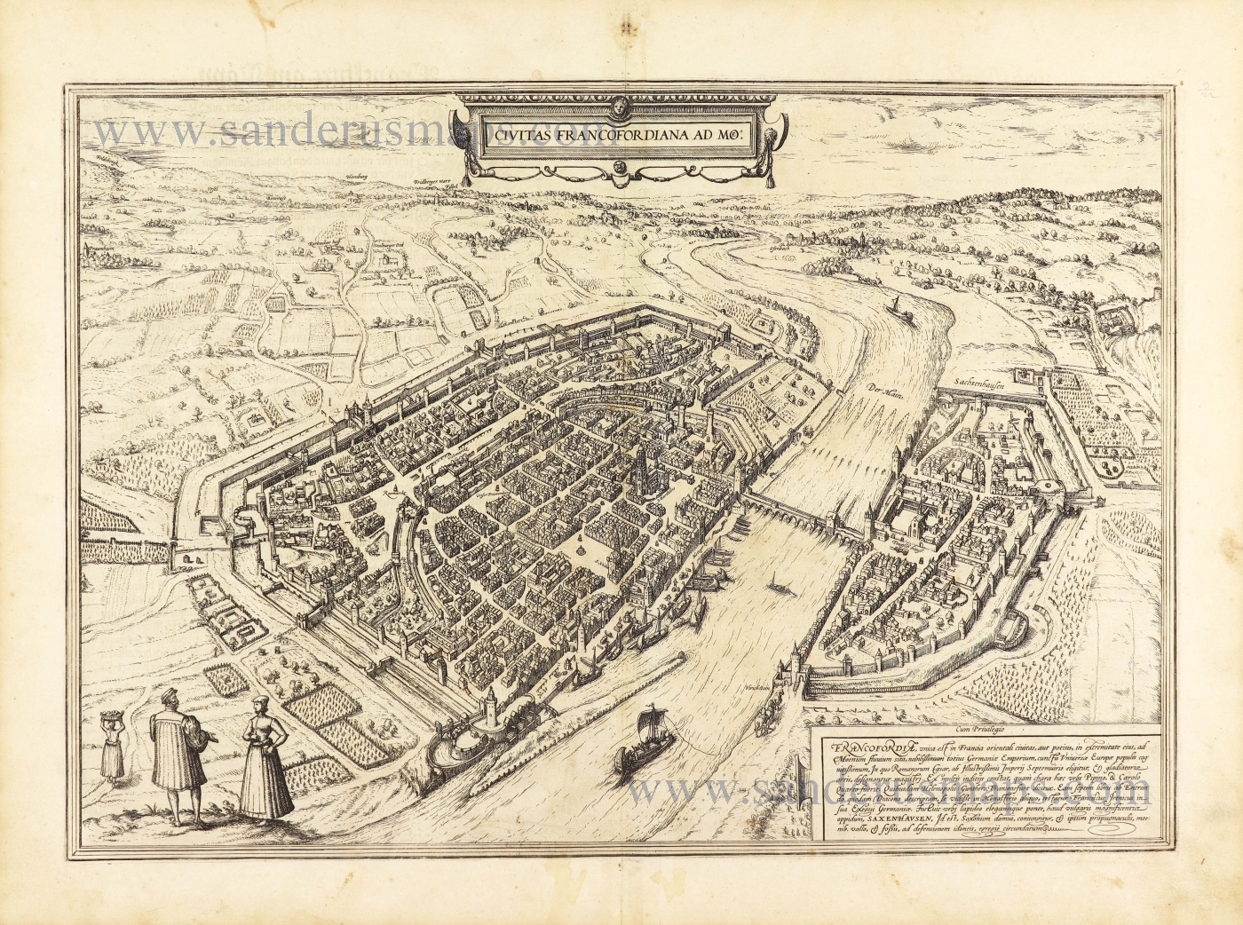
Civitas Francofordiana ad Moe: 1582
Frankfurt am Main by Georg Braun & Frans Hogenberg.
[Item number: 28664]
new