
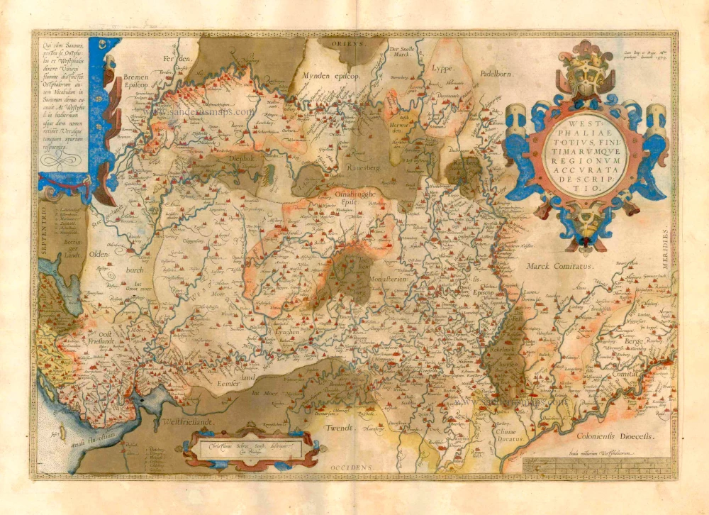
Antique map of Westfalen by A. Ortelius 1603
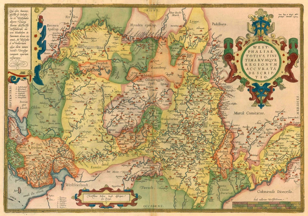


Westphaliae totius, finitimarumque Regionum accurata descriptio.
Currently not available
Item Number: 22878 Authenticity Guarantee
Category: Antique maps > Europe > Germany
Map of Westfalen, oriented to the East
Cartographer: Christian Sgroten
Copper engraving
Size: 34 x 49.5cm (13.3 x 19.3 inches)
Verso text: Latin
Condition: Old coloured, repair at top centre with reinstatement of small area in the image (2 x 4 cm).
Condition Rating: C
References: Van der Krogt 3, 2300:31; van den Broecke, 91.
From: Theatrum Orbis Terrarum Abrahami Ortelii Antverp. Geographi Regii. Antwerpen, J.B. Vrients, 1603. (Van der Krogt 3, 1:053)
Related items
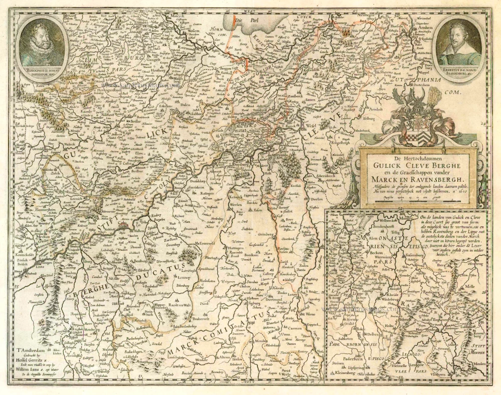
De Hertochdommen Gulick Cleve Berghe en de Graefschappen vander Marck en Ravensbergh. 1631
North Rhein-Westphalia by Hessel Gerritsz., published by Willem Blaeu.
[Item number: 4203]
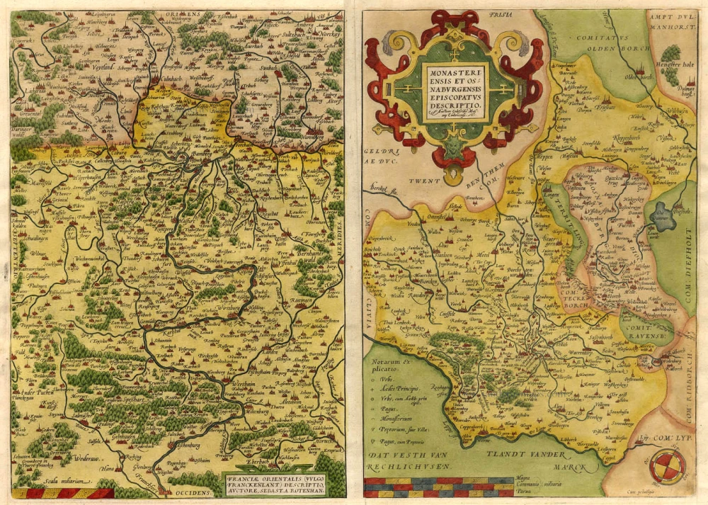
Franciae Orientalis (vulgo Franckenlant) Descriptio, Auctore, Sebast. A Rotenhan. [on sheet with:] Monasteriensis et Osnaburgensis Episcopatus Descriptio. 1571
Franken - Munster, by Abraham Ortelius.
[Item number: 6893]
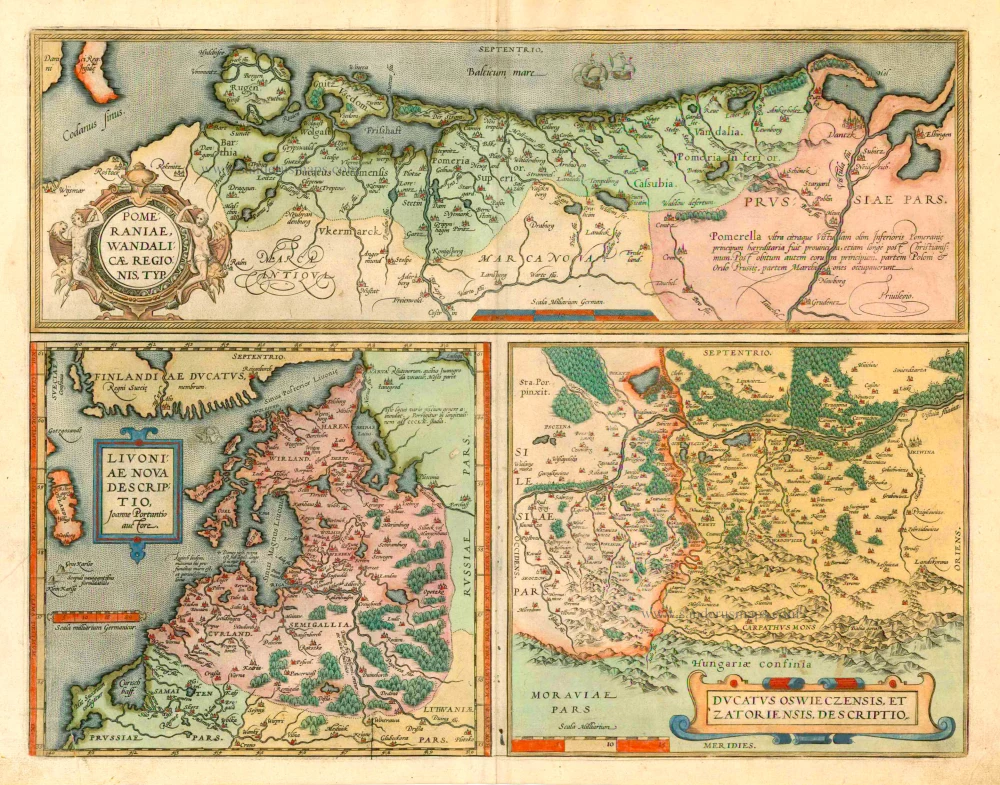
Pomeraniae, Wandaliae Regionis Typ. [on sheet with] Livoniae Nova Descriptio [and] Ducatus Oswieczensis Et Zatoriensis, Descriptio. 1601
Pommern, Livonia, Oswiecim & Zator by Abraham Ortelius.
[Item number: 8090]
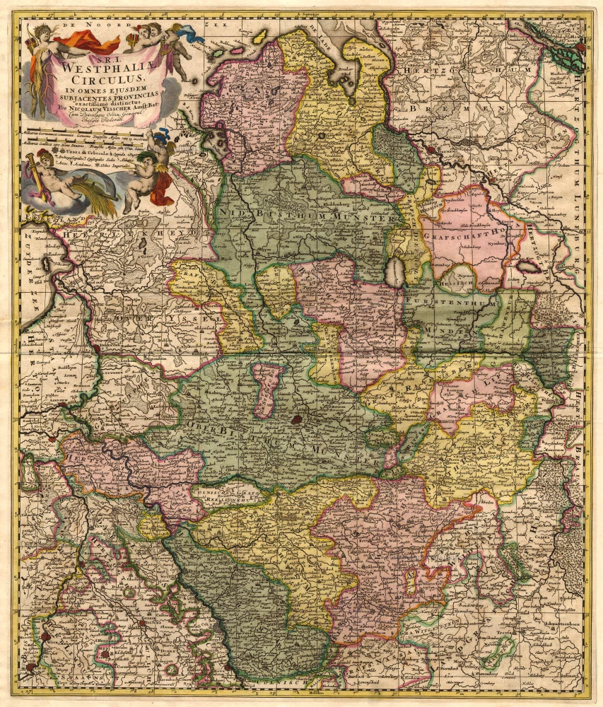
S.R.I. Westphaliae Circulus, in omnes ejusdem subjacentes Provincias. 1683-1696
Westfalen, by Visscher N. II.
[Item number: 18690]
Westphaliae totius, finitimarumque Regionum accurata descriptio. 1579
Westfalen by Abraham Ortelius.
[Item number: 25319]