
Bayern by Johannes Janssonius. 1653


The Janssonius Family
Joannes Janssonius (Arnhem, 1588-1664), son of the Arnhem publisher Jan Janssen, married Elisabeth Hondius, daughter of Jodocus Hondius, in Amsterdam in 1612. After his marriage, he settled down in this town as a bookseller and publisher of cartographic material. In 1618, he established himself in Amsterdam next door to Blaeu’s bookshop. He entered into serious competition with Willem Jansz. Blaeu when copying Blaeu’s Licht der Zeevaert after the expiration of the privilege in 1620. His activities concerned the publication of atlases, books, single maps, and an extensive book trade with branches in Frankfurt, Danzig, Stockholm, Copenhagen, Berlin, Koningsbergen, Geneva, and Lyon. In 1631, he began publishing atlases together with Henricus Hondius.
In the early 1640s, Henricus Hondius left the atlas publishing business to Janssonius. Competition with Joan Blaeu, Willem’s son and successor, in atlas production, prompted Janssonius to enlarge his Atlas Novus finally into a work of six volumes, into which a sea atlas and an atlas of the Old World were inserted. Other atlases published by Janssonius are Mercator’s Atlas Minor, Hornius’s historical atlas (1652), the townbooks in eight volumes (1657), Cellarius’s Atlas Coelestis and several sea atlases and pilot guides.
After the death of Joannes Janssonius, the shop and publishing firm were continued by the heirs under the direction of Johannes van Waesbergen (c. 1616-1681), son-in-law of Joannes Janssonius. Van Waesbergen added Janssonius's name to his own.
In 1676, Joannes Janssonius’s heirs sold by auction “all the remaining Atlases in Latin, French, High and Low German, as well as the Stedeboecken in Latin, in 8 volumes, bound and unbound, maps, plates belonging to the Atlas and Stedeboecken.” The copperplates from Janssonius’s atlases were afterwards sold to Schenk and Valck.
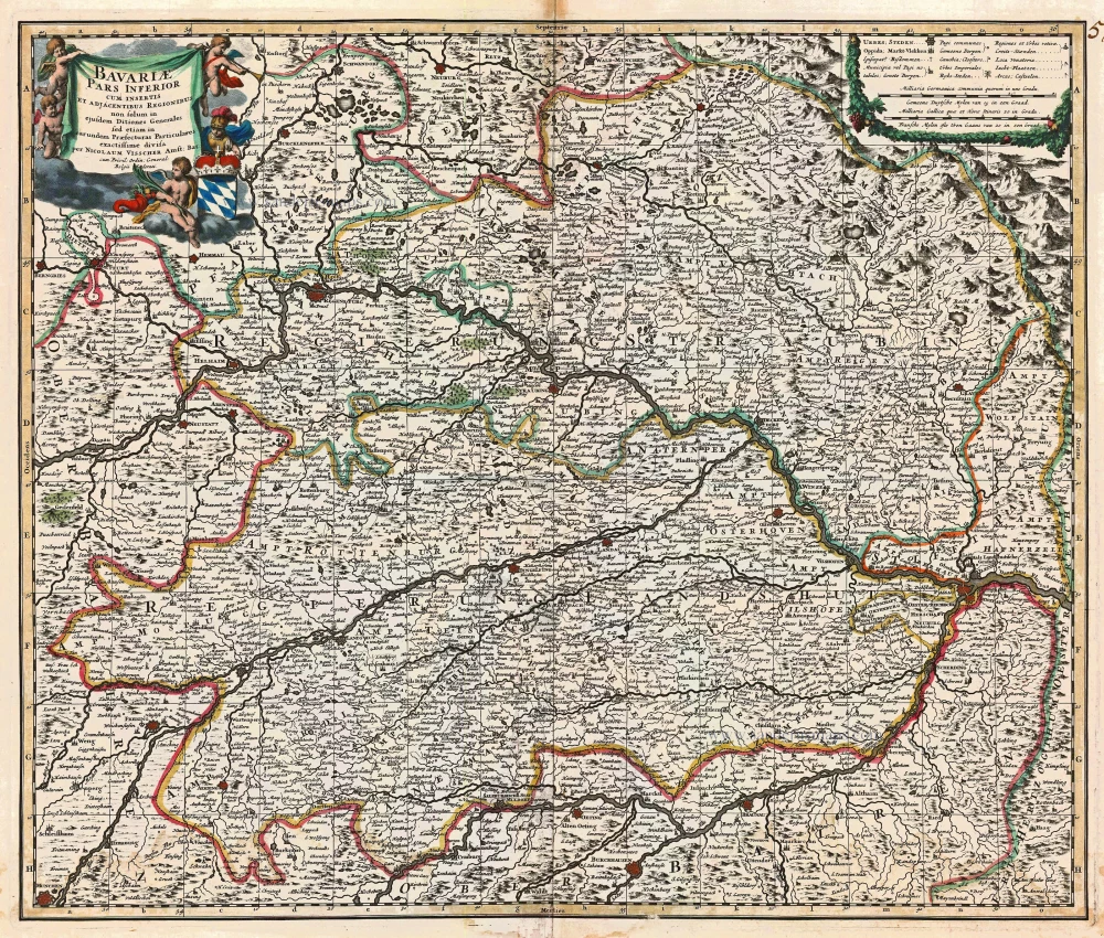
Bavariae superioris et Inferioris nova descriptio.
Item Number: 30392 Authenticity Guarantee
Category: Antique maps > Europe > Germany
Bayern by Johannes Janssonius.
Title: Bavariae superioris et Inferioris nova descriptio.
Amstelodami Excudebat Ioannes Ianßonius.
Date of the first edition: 1633.
Date of this map: 1653.
Copper engraving, printed on paper.
Image size: 385 x 465mm (15.16 x 18.31 inches).
Sheet size: 500 x 590mm (19.69 x 23.23 inches).
Verso: Latin text.
Condition: Original coloured, excellent.
Condition Rating: A+.
From: Ioannes Janssonii Novus Atlas, Sive Theatrum Orbis Terrarum: in quo Tabulae & Descriptiones omnium Regionum totius Universi accuratissime exhibentur. in quinque tomos distinctus. Amstelodami, Apud Ianßonium. Anno MDCLIII. (1653) (Van der Krogt 1,404)
The Janssonius Family
Joannes Janssonius (Arnhem, 1588-1664), son of the Arnhem publisher Jan Janssen, married Elisabeth Hondius, daughter of Jodocus Hondius, in Amsterdam in 1612. After his marriage, he settled down in this town as a bookseller and publisher of cartographic material. In 1618, he established himself in Amsterdam next door to Blaeu’s bookshop. He entered into serious competition with Willem Jansz. Blaeu when copying Blaeu’s Licht der Zeevaert after the expiration of the privilege in 1620. His activities concerned the publication of atlases, books, single maps, and an extensive book trade with branches in Frankfurt, Danzig, Stockholm, Copenhagen, Berlin, Koningsbergen, Geneva, and Lyon. In 1631, he began publishing atlases together with Henricus Hondius.
In the early 1640s, Henricus Hondius left the atlas publishing business to Janssonius. Competition with Joan Blaeu, Willem’s son and successor, in atlas production, prompted Janssonius to enlarge his Atlas Novus finally into a work of six volumes, into which a sea atlas and an atlas of the Old World were inserted. Other atlases published by Janssonius are Mercator’s Atlas Minor, Hornius’s historical atlas (1652), the townbooks in eight volumes (1657), Cellarius’s Atlas Coelestis and several sea atlases and pilot guides.
After the death of Joannes Janssonius, the shop and publishing firm were continued by the heirs under the direction of Johannes van Waesbergen (c. 1616-1681), son-in-law of Joannes Janssonius. Van Waesbergen added Janssonius's name to his own.
In 1676, Joannes Janssonius’s heirs sold by auction “all the remaining Atlases in Latin, French, High and Low German, as well as the Stedeboecken in Latin, in 8 volumes, bound and unbound, maps, plates belonging to the Atlas and Stedeboecken.” The copperplates from Janssonius’s atlases were afterwards sold to Schenk and Valck.
Related items

Circulus Bavaricus in quo sunt ... c. 1715
Bayern by de Wit - Covens & Mortier.
[Item number: 1266]

Scarce
Bavariae Utriusque cum Inferioris tu Superioris Vera et ad Amus Sim Descriptio 1593
Bayern, by de Jode.
[Item number: 5101]
Bavariae Pars Inferior cum insertis et adjacentibus Regionibus ... 1683-1696
Bavaria (Bayern), by N. Visscher.
[Item number: 14590]
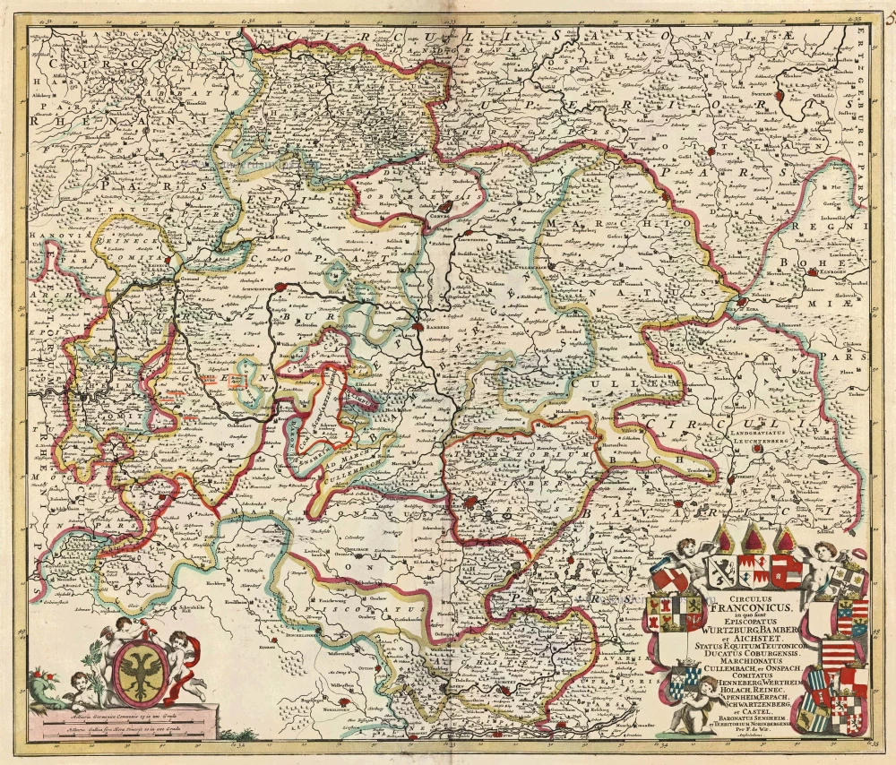
Circulus Franconicus in quo sunt Episcopatus Wurtzburg, Bamberg et Aichstet, Status Equitum Teutonicor Ducatus Coburgensis, Marchionatus Cullembach, et Onspach, Comitatus Henneberg, Wertheim Holach, Reinec, Papenheim, Erpach Schwartzenberg, et Castel, Baronatus Sensheim et Territorium Norinbergensis. c. 1682-96
Bavaria (Bayern) by F. de Wit
[Item number: 14815]

Bavariae olim Vindeliciae, delineationis compendium 1612
Bayern, by A. Ortelius.
[Item number: 23005]

Le Cercle de Baviere subdivisé en tous les Estats qui le composent ... 1721-41
Bavaria (Bayern), by Covens & Mortier.
[Item number: 23814]
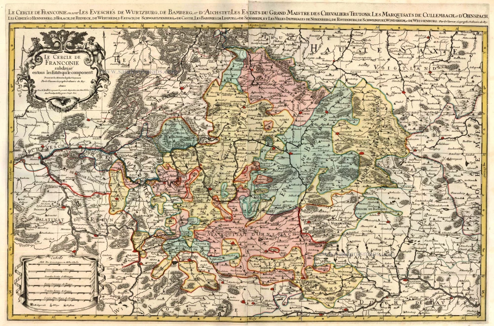
Le Cercle de Franconie subdivisé en tous les Estats qui le composent. c. 1695
Bavaria (Bayern) by Hubert Jaillot - Covens & Mortier.
[Item number: 23819]

Partie Orientale du Cercle de Franconie. 1721-41
Bavaria (Bayern), by Covens & Mortier.
[Item number: 23820]

Circulus Bavaricus in quo sunt Ducatus Electoratus, & Palatinat Bavariae, Archiepisc. Salisburgi, Episcopatus Ratisbonae, Pataviae, & Fruxini, Palatinat Neoburgi & Landgravius Leuchtenbergi. c. 1680
Bayern, by F. De Wit.
[Item number: 24403]

Bavaria Ducatus 1623
Bayern, by G. Mercator.
[Item number: 24950]

La description de Souabe et Baviere. 1555
Bayern, by S. Munster.
[Item number: 25169]

Bavaria Ducatus. 1644
The Duchy of Bayern by Willem Blaeu.
[Item number: 28588]

Bavaria Ducatus. c. 1640
Bayern by Cornelis Danckerts.
[Item number: 29014]

Sueviae et Bavariae Descriptio. 1550
Southern Germany (Schwaben & Bayern), by Sebastian Münster.
[Item number: 29302]
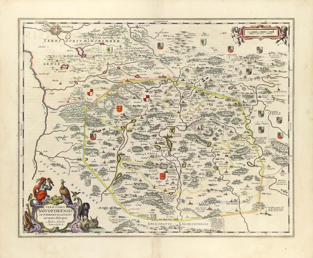
Territorii Novoforensis in Superiore Palatinatu accurata descriptio. 1653
Neuburg by Johannes Janssonius.
[Item number: 30393]
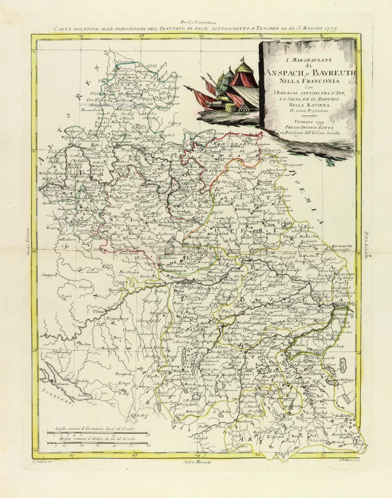
I Margraviati di Anspach, e Bayreuth nella Franconia Con I Bailaggi situati fra l'Inn, La Salza, ed il Danubio nella Baviera. 1779-1785
Southeastern Germany, by Antonio Zatta.
[Item number: 32317]