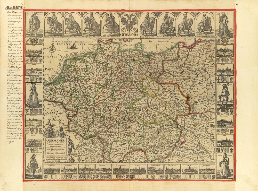
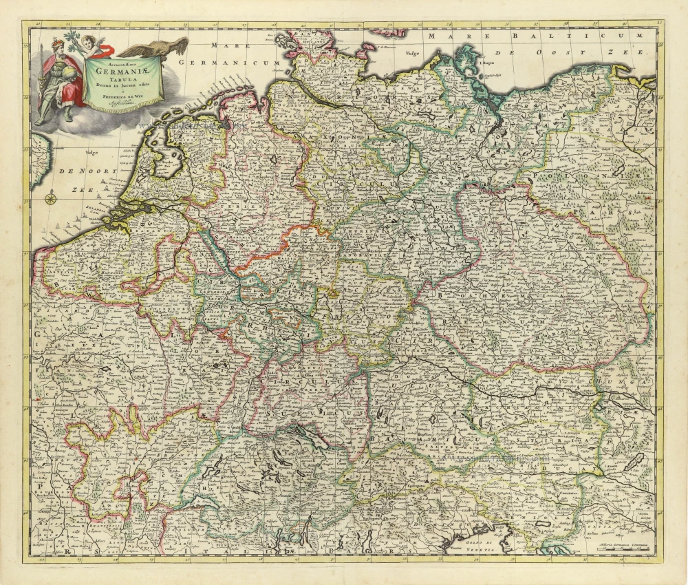
Germania, by George Matthaus Seutter. c. 1741
Matthäus Seutter (Augsburg, 1678 - 1757)
Matthäus Seutter was an engraver, globe maker and map publisher in Augsburg. He apprenticed as an engraver to publisher J.B. Homann in Nuremberg in 1697. He returned to Augsburg c. 1707 and set up his own map publishing house, which became a primary competitor of the Homann company. As a result, most of Seutter's maps were based upon, if not copies, earlier work done by the Homann and Delisle firms.
Karl VI awarded him the title of Imperial Geographer in 1731.
Hydrographica Germaniae
Item Number: 29057 Authenticity Guarantee
Category: Antique maps > Europe > Germany
Old, antique map of Germania, by George Matthaus Seutter.
Title: Hydrographica Germaniae
Delineatio qua celebriorum Germaniae Fluvior Seaturigines, eursus et Ostia Oculis proponuntur.
Opera et studio Matth. Seutteri, S.C.M. Geogr. Augustani.
Shows the river basins of the major rivers in Germania.
Date: c. 1741.
Copper engraving, printed on paper.
Map size: 495 x 575mm (19.49 x 22.64 inches).
Sheet size: 620 x 600mm (24.41 x 23.62 inches).
Verso: Blank.
Condition: Original coloured, water stains in upper corners.
Condition Rating: A.
From: Seutter M. Grosser Atlas. Augsburg, c.1741.
Matthäus Seutter (Augsburg, 1678 - 1757)
Matthäus Seutter was an engraver, globe maker and map publisher in Augsburg. He apprenticed as an engraver to publisher J.B. Homann in Nuremberg in 1697. He returned to Augsburg c. 1707 and set up his own map publishing house, which became a primary competitor of the Homann company. As a result, most of Seutter's maps were based upon, if not copies, earlier work done by the Homann and Delisle firms.
Karl VI awarded him the title of Imperial Geographer in 1731.


