
Germania by Sebastian Münster. 1568

Sebastian Münster (1488-1552)
Sebastian Münster, a German geographer, cartographer, Hebraist, and theologian, was born in Ingelheim, near Mainz In 1505, he went to Heidelberg to enter the Franciscan order. In 1507 he went to Louvain, where he studied mathematics, geography, and astronomy. In 1509 Münster became a student of Konrad Pelikan, who taught Hebrew and Greek as well as mathematics and cosmography. In 1518 he completed his studies at the University of Tübingen. He was the favorite of the famous mathematician and astronomer Johann Stöffler.
In 1524 Münster was appointed professor of Hebrew at Heidelberg University. In 1525 he published his first map as part of a broadside: The Instrument of the Suns combined a map, calendar, astrological almanac, sundial, and nocturnal on one attractive sheet, suitable for wall mounting.
In 1540 he published a Latin edition of Ptolemy's Geographia with illustrations. He based this edition on the Latin translation by Willibald Pirkheimer and produced new maps to supplement the Ptolemaic maps. The twenty-seven maps of the Ptolemaic canon are supplemented by twenty-one new maps. Further editions appeared in 1541 and 1542.
In 1544 he published the Cosmographia, a bulky book with 659 pages and some 520 woodcuts. Maps in this edition included three maps from the Ptolemaic canon and fourteen modern maps (from previous editions of the Geographia), as well as nine new maps. Later editions (1545, 1546, 1548) enlarged the Cosmographia. The 1550 edition contains cities, portraits, and costumes. These editions in both Latin and German constitute the full fruition of Münster's dream of a comprehensive geography.
The Cosmographia was one of the most successful works of the 16th century. It passed through 24 editions in 100 years, in different languages, including Latin, French, Italian, English, and even Czech. The last German edition was published in 1628.
He died at Basel of the plague in 1552.
As a cartographer, Münster deserves special recognition for formulating a plan for a comprehensive and uniform map of a country. As a geographer, his greatest achievement was the Cosmographia. (Karrow).
Description de la Germanie.
Item Number: 30522 Authenticity Guarantee
Category: Antique maps > Europe > Germany
map of Germania by Sebastian Münster.
Title: Description de la Germanie.
Oriented to the south.
Date of the first edition: 1540.
Date of this map: 1568.
Woodcut, printed on paper.
Image size: 250 x 345mm (9.84 x 13.58 inches).
Sheet size: 295 x 395mm (11.61 x 15.55 inches).
Verso: French text.
Condition: Excellent.
Condition Rating: A+.
From: Münster S. Cosmographie universelle, contenant la situation de toutes les parties du monde ... Basel, Henry Pierre, 1568.
Sebastian Münster (1488-1552)
Sebastian Münster, a German geographer, cartographer, Hebraist, and theologian, was born in Ingelheim, near Mainz In 1505, he went to Heidelberg to enter the Franciscan order. In 1507 he went to Louvain, where he studied mathematics, geography, and astronomy. In 1509 Münster became a student of Konrad Pelikan, who taught Hebrew and Greek as well as mathematics and cosmography. In 1518 he completed his studies at the University of Tübingen. He was the favorite of the famous mathematician and astronomer Johann Stöffler.
In 1524 Münster was appointed professor of Hebrew at Heidelberg University. In 1525 he published his first map as part of a broadside: The Instrument of the Suns combined a map, calendar, astrological almanac, sundial, and nocturnal on one attractive sheet, suitable for wall mounting.
In 1540 he published a Latin edition of Ptolemy's Geographia with illustrations. He based this edition on the Latin translation by Willibald Pirkheimer and produced new maps to supplement the Ptolemaic maps. The twenty-seven maps of the Ptolemaic canon are supplemented by twenty-one new maps. Further editions appeared in 1541 and 1542.
In 1544 he published the Cosmographia, a bulky book with 659 pages and some 520 woodcuts. Maps in this edition included three maps from the Ptolemaic canon and fourteen modern maps (from previous editions of the Geographia), as well as nine new maps. Later editions (1545, 1546, 1548) enlarged the Cosmographia. The 1550 edition contains cities, portraits, and costumes. These editions in both Latin and German constitute the full fruition of Münster's dream of a comprehensive geography.
The Cosmographia was one of the most successful works of the 16th century. It passed through 24 editions in 100 years, in different languages, including Latin, French, Italian, English, and even Czech. The last German edition was published in 1628.
He died at Basel of the plague in 1552.
As a cartographer, Münster deserves special recognition for formulating a plan for a comprehensive and uniform map of a country. As a geographer, his greatest achievement was the Cosmographia. (Karrow).
Related items

S.R.I. in Germania ... c. 1715
Germania, by F. de Wit - Covens & Mortier.
[Item number: 1262]
Deutschlanndt - Germaniae Typus 1612
Germania, by Frans Hogenberg, published by J.B. Vrients.
[Item number: 21682]

Germania 1598
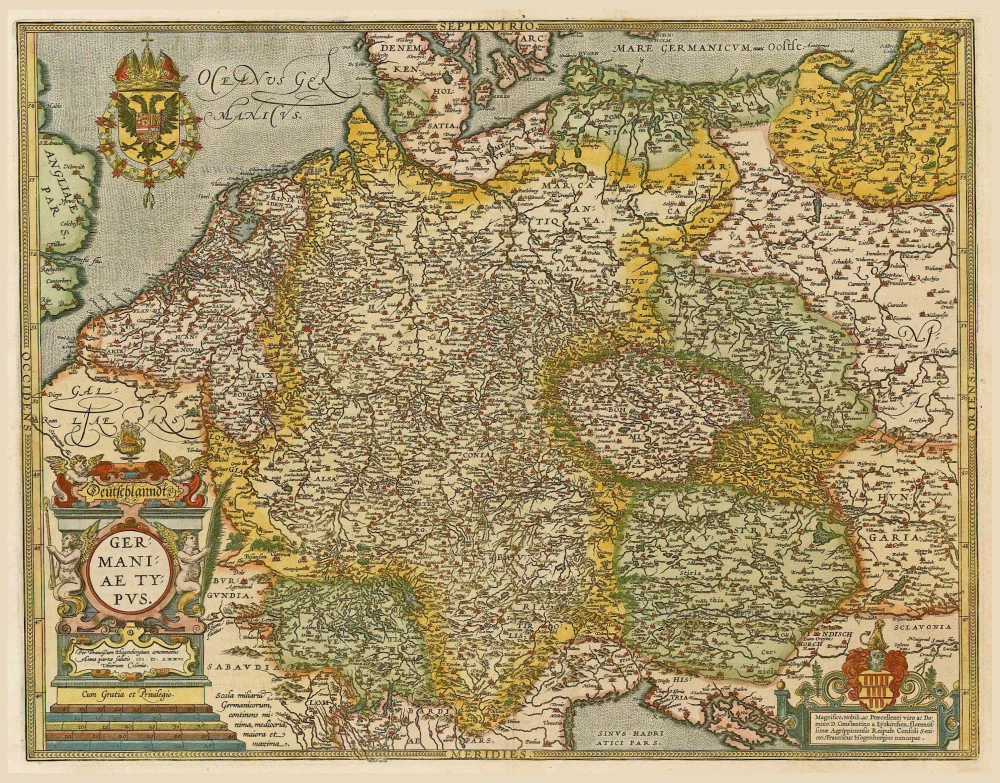
Germania, by A. Ortelius.
[Item number: 22916]
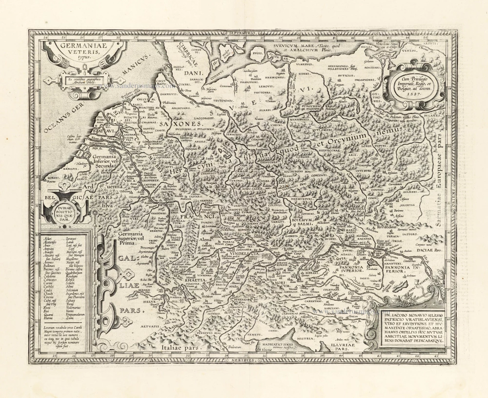
Germaniae Veteris Typus. 1612
Ancient Germania by Abraham Ortelius.
[Item number: 23115]

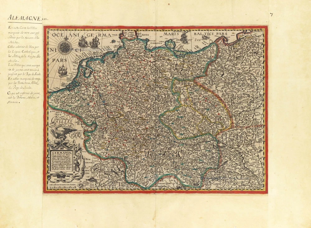
Nova et prae caeteris aliis Correcta Germaniae Tabula, comprehendens accuratam X. Circulorum, Bohemiae Regni, ac Universae Helvetiae descriptionem. 1689-90
GERMANIA by de Wit F.
[Item number: 24404]

L'Allemagne. 1713
Germania, by P. Van der Aa.
[Item number: 26178]
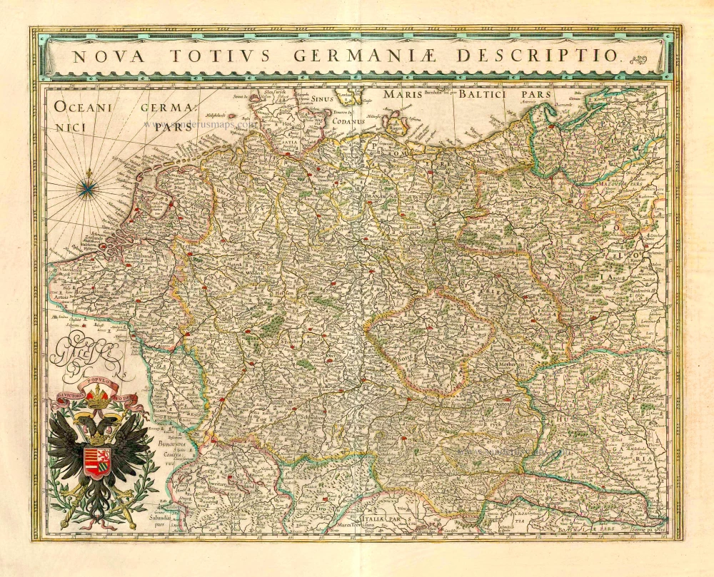
Nova Totius Germaniae Descriptio. 1643
Germania, by Willem Blaeu.
[Item number: 27104]
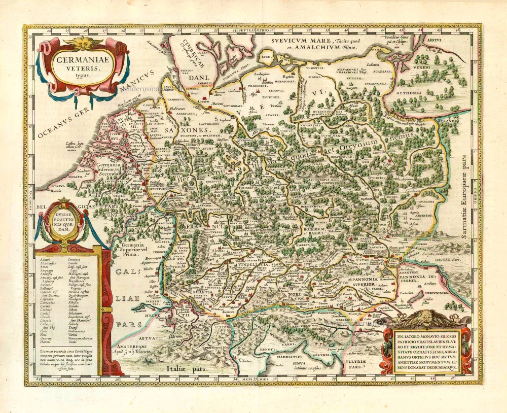
Germaniae Veteris Typus. 1643
Ancient Germania, by Willem Blaeu.
[Item number: 27122]

Germania. [Above the map :] Carte générale d'Alemaigne. 1575
Germania, by François de Belleforest.
[Item number: 27381]
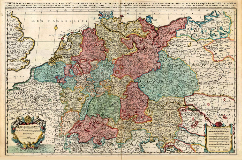
L'Empire d'Allemagne distingué suivant l'étendue de tous les Estats, Principautés et Souverainetés qui passent ou qui ont passé jusque a present sous le nom d'Allemagne. c. 1705
Germania, by Pieter Mortier.
[Item number: 27803]

Very rare. First state.
Nova Germaniae & Accurata delineatio. 1628
Germania, by Pieter Verbiest.
[Item number: 27933]
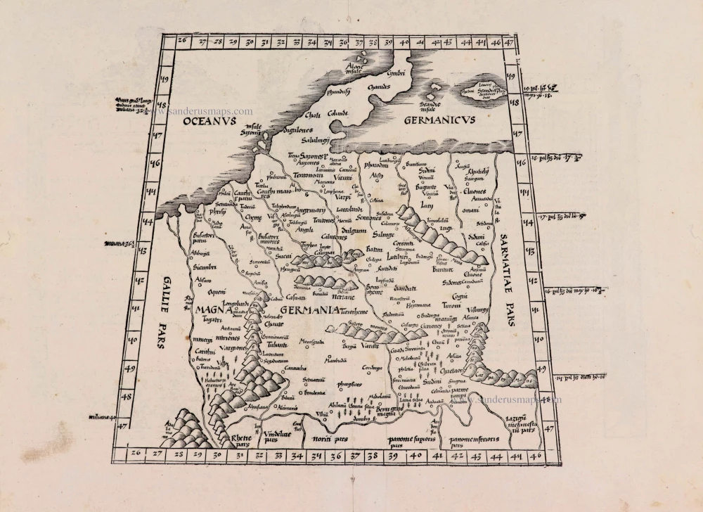
[No title] - [On verso:] Tabula .IIII. Europae. 1525
Ptolemaic Germania, by Lorenz Fries.
[Item number: 27958]
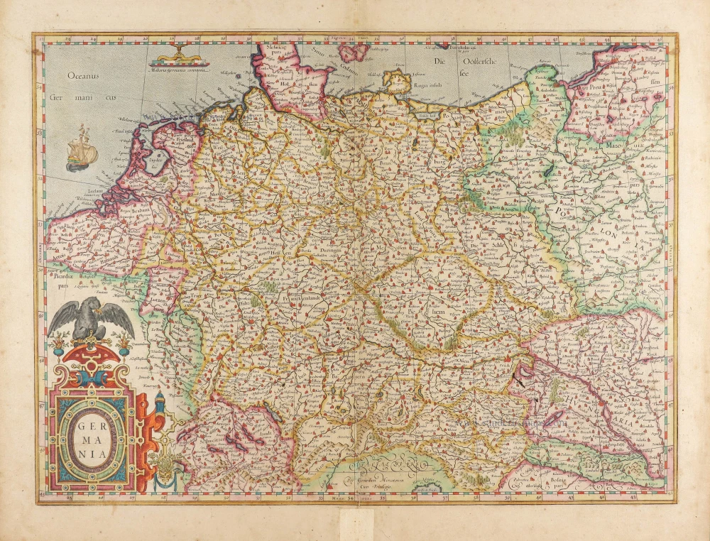
Germania. 1623
Germania by Gerard Mercator.
[Item number: 28939]
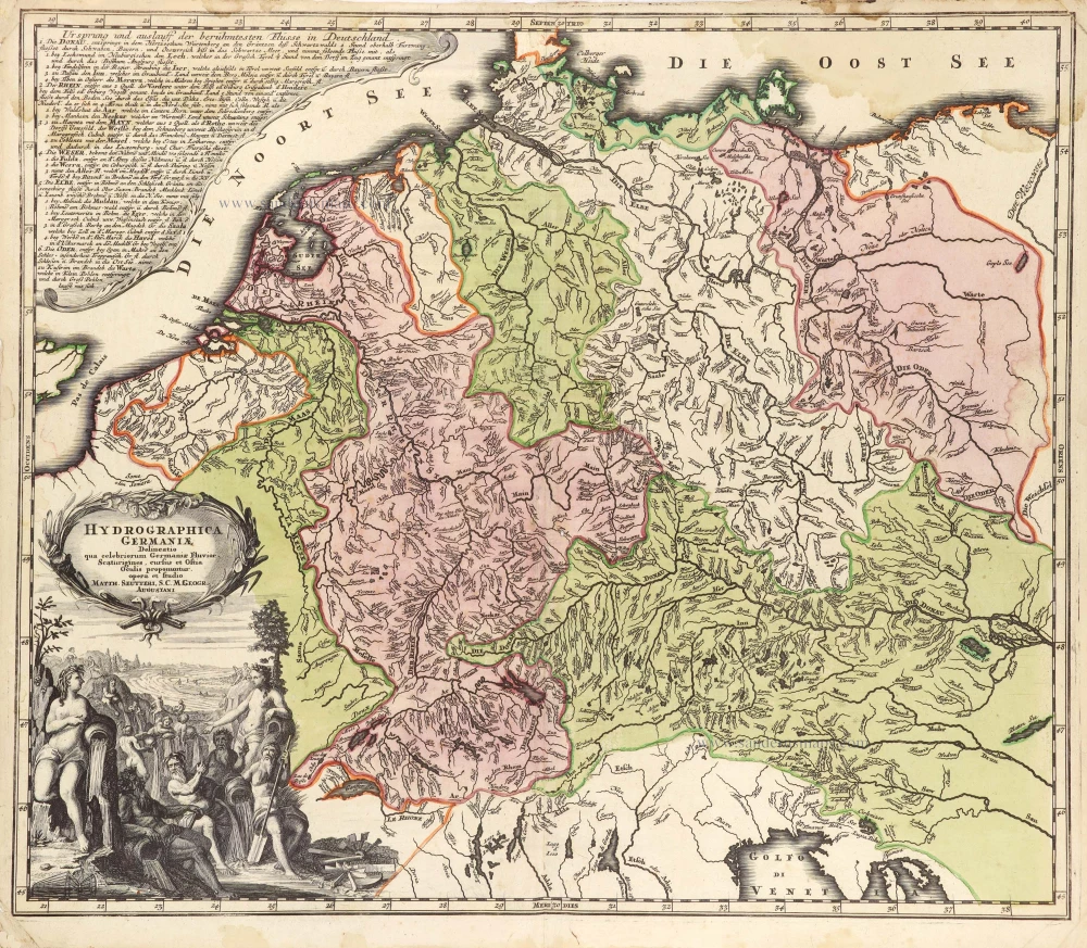
Hydrographica Germaniae c. 1741
Germania, by George Matthaus Seutter.
[Item number: 29057]
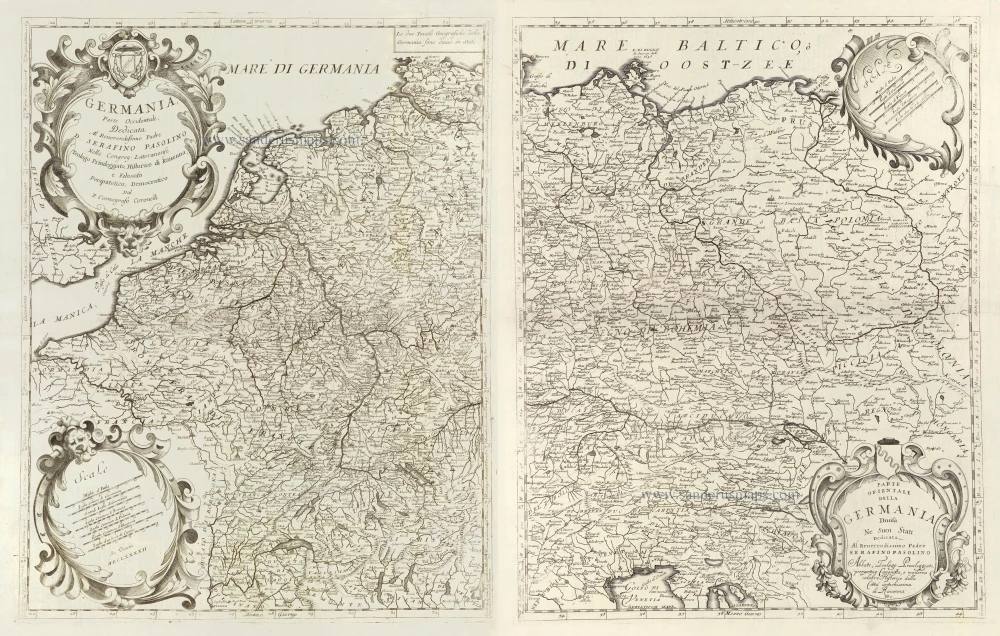
Germania, Parte Occidentale, [in set with:] Parte Orientale della Germania Divisa Ne Suoi Stati. 1696
Germania, by Vincenzo Coronelli.
[Item number: 29295]

Germania. 1595
Germania, by Abraham Ortelius.
[Item number: 30248]
Germania, Non ea tantum quae Rheno, Vistula, Danubio, mariqz Germanico Veteribus claudebatur; c. 1630-1650
Germania by an unknown mapmaker (Jean Leclerc?)
[Item number: 30842]

Scarce second state, unknown to Hollstein
Germania - Germaniae post omnes in hac forma editiones exactissima locupletißimaqz descriptio. 1631
Germania by Claes Jansz Visscher.
[Item number: 31336]

Accuratissima Germaniae Tabula 1682-88
Germania by Frederick de Wit.
[Item number: 32604]