
Germania, by P. Van der Aa. 1713

Pieter van der Aa (Leiden, 1659-1733)
Pieter van der Aa was already in 1682 owner of a bookshop and auction house. During his life, he has published an enormous amount of printed material.
After 1700, van der Aa increasingly specialised in books on geography and travel.
He published composite atlases, a series of geographical descriptions of European countries, and some very spectacular works. Between 1706 and 1708 he published the Naauweurige versameling der gedenkwaardigste zee- en land-reysen, in 28 volumes.
Many of Van der Aa’s publications are richly illustrated with maps and plates. He took over many copperplates and prints from other publishers such as Carel Allard and Frederik De Wit. The composite atlases that appeared from his workshop contain a curious mixture of his own material, copies of maps from other publishers, and reprints made from old copper plates, now with his own imprint.
The Galérie agréable du monde, was completed in 1729, and comprised 66 parts, bound in 27 volumes. Van der Aa presented it as a good investment; after publication, the antiquarian value of the work would double, the more so since it was printed in a limited edition of only one hundred copies.
L'Allemagne.
Item Number: 26178 Authenticity Guarantee
Category: Antique maps > Europe > Germany
Germania, by P. Van der Aa.
Title: L'Allemagne.
Date of the first edition: 1713.
Date of this map: 1713.
Copper engraving, printed on paper.
Size (not including margins): 220 x 295mm (8.66 x 11.61 inches).
Verso: Blank.
Condition: Original body colour, trimmed to neatline and mounted on heavy paper at an early time.
Condition Rating: A.
From: Nouvel Atlas, très exact et fort commode pour toutes sortes de personnes, Contenant Les Principales cartes géographiques. Leiden, P. Van der Aa, n.d. (1713) (Koeman, Aa7).
Van der Aa maps are rarely found in original colouring.
Pieter van der Aa (Leiden, 1659-1733)
Pieter van der Aa was already in 1682 owner of a bookshop and auction house. During his life, he has published an enormous amount of printed material.
After 1700, van der Aa increasingly specialised in books on geography and travel.
He published composite atlases, a series of geographical descriptions of European countries, and some very spectacular works. Between 1706 and 1708 he published the Naauweurige versameling der gedenkwaardigste zee- en land-reysen, in 28 volumes.
Many of Van der Aa’s publications are richly illustrated with maps and plates. He took over many copperplates and prints from other publishers such as Carel Allard and Frederik De Wit. The composite atlases that appeared from his workshop contain a curious mixture of his own material, copies of maps from other publishers, and reprints made from old copper plates, now with his own imprint.
The Galérie agréable du monde, was completed in 1729, and comprised 66 parts, bound in 27 volumes. Van der Aa presented it as a good investment; after publication, the antiquarian value of the work would double, the more so since it was printed in a limited edition of only one hundred copies.
Related items
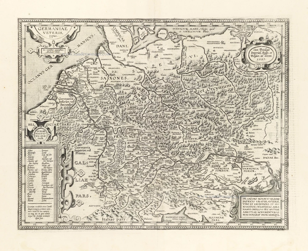
Germaniae Veteris Typus. 1612
Ancient Germania by Abraham Ortelius.
[Item number: 23115]

Nova et prae caeteris aliis Correcta Germaniae Tabula, comprehendens accuratam X. Circulorum, Bohemiae Regni, ac Universae Helvetiae descriptionem. 1689-90
GERMANIA by de Wit F.
[Item number: 24404]
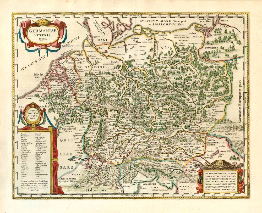
Germaniae Veteris Typus. 1643
Ancient Germania, by Willem Blaeu.
[Item number: 27122]
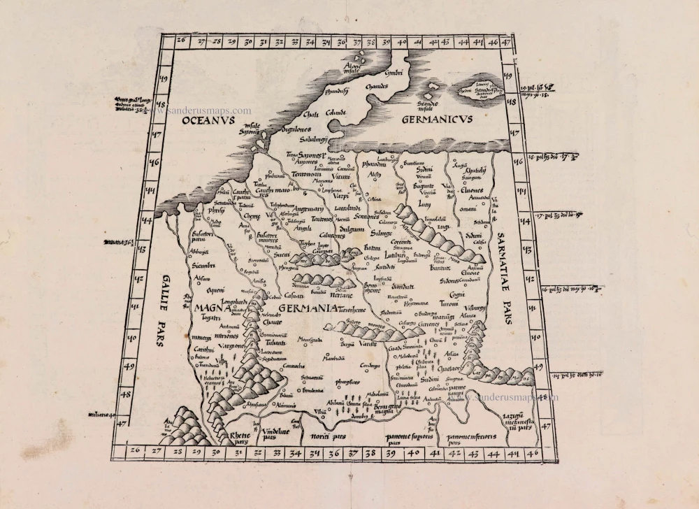
[No title] - [On verso:] Tabula .IIII. Europae. 1525
Ptolemaic Germania, by Lorenz Fries.
[Item number: 27958]
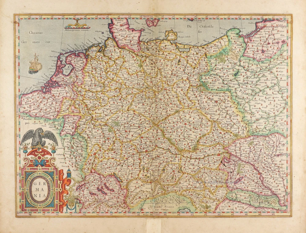
Germania. 1623
Germania by Gerard Mercator.
[Item number: 28939]

Germania. 1595
Germania, by Abraham Ortelius.
[Item number: 30248]

Description de la Germanie. 1568
Germania by Sebastian Münster.
[Item number: 30522]
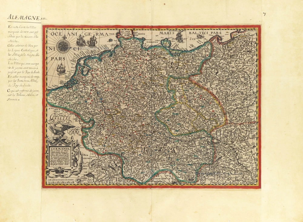
Germania, Non ea tantum quae Rheno, Vistula, Danubio, mariqz Germanico Veteribus claudebatur; c. 1630-1650
Germania by an unknown mapmaker (Jean Leclerc?)
[Item number: 30842]

Scarce second state, unknown to Hollstein
Germania - Germaniae post omnes in hac forma editiones exactissima locupletißimaqz descriptio. 1631
Germania by Claes Jansz Visscher.
[Item number: 31336]

Accuratissima Germaniae Tabula 1682-88
Germania by Frederick de Wit.
[Item number: 32604]

Germaniae Nova Et Accurata Delineatio. 1639-44
Germania, by Henricus Hondius.
[Item number: 33212]

Hydrographia Germaniae qua Geographiae Naturalis ... 1712
Germania - River System, by Johann Baptist Homann.
[Item number: 33256]
new