
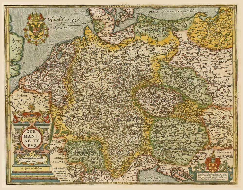
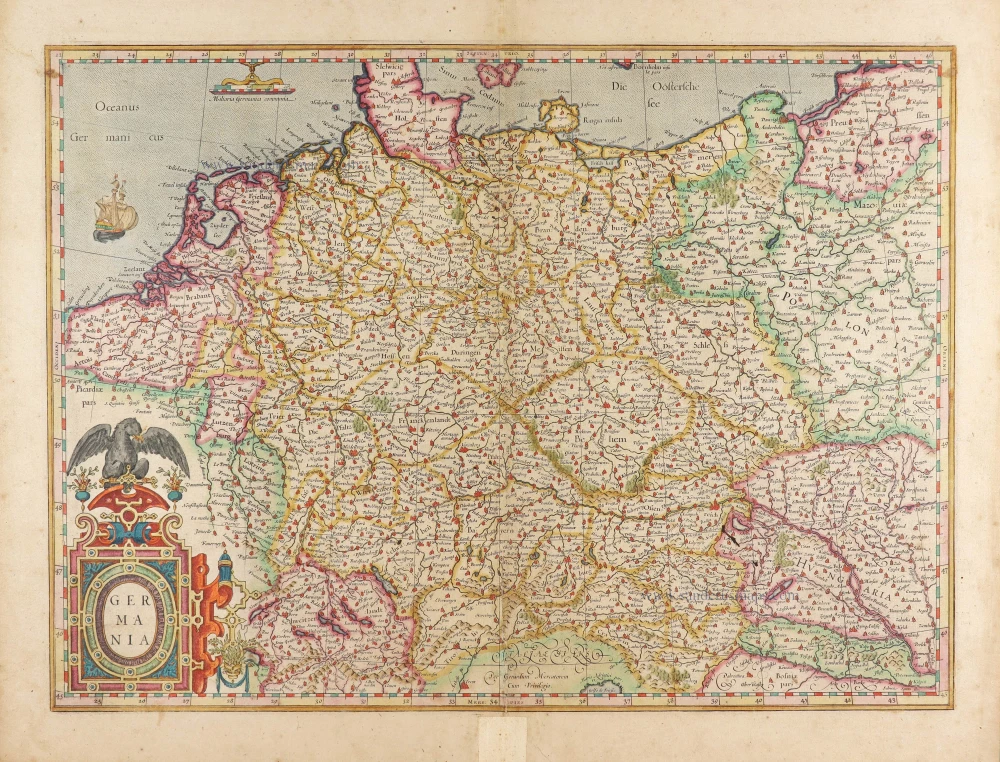
Germania by Frederick de Wit. 1682-88


Frederick de Wit (1630-1706)
The engraver and map-seller, Frederick de Wit, was born in Gouda (Netherlands) in 1630 as a son of Hendrick Fredericksz de Wit. Through his marriage with Maria van der Waag of Amsterdam in 1661, he obtained citizenship of the city where he had been working since 1648 and where he became one of the most famous engravers of maps of the second half of the 17th century. Although De Wit was a Catholic, which meant that he was not favoured at the time by the city council, he was awarded the honour of being listed as one of the "excellent citizens" on the roll of the city council in the years 1694-1704. However, his name was not written in the Guild of St. Luke book before 1664. At that time, he lived on the Kalverstraat "in de Witte Pascaert", where he stayed until his death in 1706. His earliest dates on maps engraved are 1659 (Regni Daniae) and 1660 (World map).
Frederick de Wit published several world atlases, a sea atlas, and an atlas of the Netherlands.
The dating of the maps is difficult. However, as a privilege was granted in 1689, the annotation 'cum privilegio' marks an edition after 1688.
Around 1700, Frederick de Wit entered the market with a town atlas. He produced two volumes with a total of 260 plans and views. Most were printed from plates used for Janssonius and Blaeu town atlases.
After he died in 1706, his widow continued the shop until 1709. The plates and stock of De Wit's atlas were sold to Covens & Mortier in 1710, who sold the atlas for an extended period.
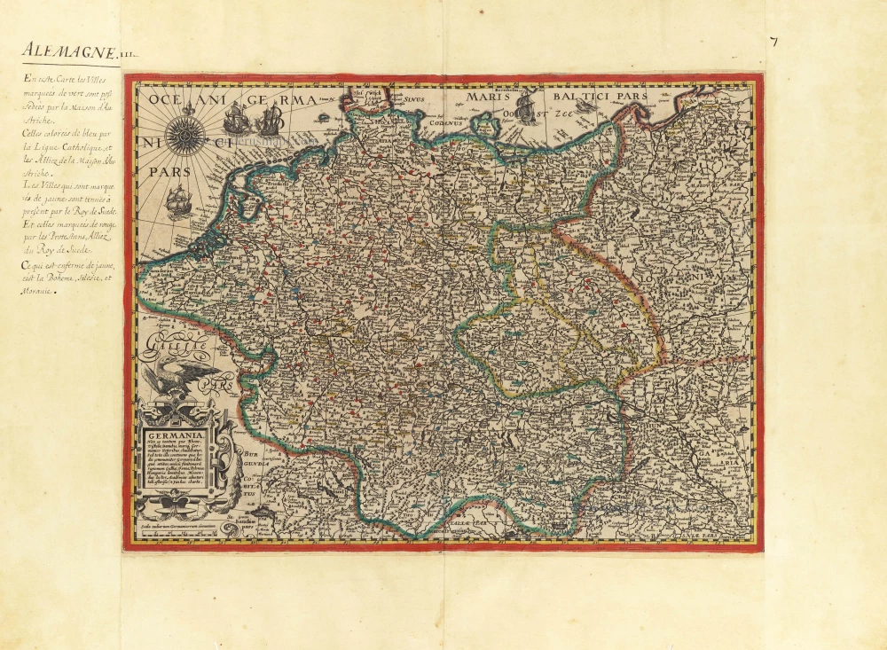
Accuratissima Germaniae Tabula
Item Number: 32604 Authenticity Guarantee
Category: Antique maps > Europe > Germany
Germania by Frederick de Wit.
Title: Accuratissima Germaniae Tabula
Denuo in lucem edita à Frederico de Wit Amstelodami.
Date of the first edition: 1689-90.
Date of this map: 1682-88.
Copper engraving, printed on paper.
Image size: 490 x 580mm (19¼ x 22¾ inches).
Sheet size: 530 x 615mm (20¾ x 24¼ inches).
Verso: Blank.
Condition: Original coloured, excellent.
Condition Rating: A+.
From: Atlas. Amsterdam, Frederick de Wit, 1682-88. (Carhart, p. 146 A100b)
Frederick de Wit (1630-1706)
The engraver and map-seller, Frederick de Wit, was born in Gouda (Netherlands) in 1630 as a son of Hendrick Fredericksz de Wit. Through his marriage with Maria van der Waag of Amsterdam in 1661, he obtained citizenship of the city where he had been working since 1648 and where he became one of the most famous engravers of maps of the second half of the 17th century. Although De Wit was a Catholic, which meant that he was not favoured at the time by the city council, he was awarded the honour of being listed as one of the "excellent citizens" on the roll of the city council in the years 1694-1704. However, his name was not written in the Guild of St. Luke book before 1664. At that time, he lived on the Kalverstraat "in de Witte Pascaert", where he stayed until his death in 1706. His earliest dates on maps engraved are 1659 (Regni Daniae) and 1660 (World map).
Frederick de Wit published several world atlases, a sea atlas, and an atlas of the Netherlands.
The dating of the maps is difficult. However, as a privilege was granted in 1689, the annotation 'cum privilegio' marks an edition after 1688.
Around 1700, Frederick de Wit entered the market with a town atlas. He produced two volumes with a total of 260 plans and views. Most were printed from plates used for Janssonius and Blaeu town atlases.
After he died in 1706, his widow continued the shop until 1709. The plates and stock of De Wit's atlas were sold to Covens & Mortier in 1710, who sold the atlas for an extended period.
Related items

S.R.I. in Germania ... c. 1715
Germania, by F. de Wit - Covens & Mortier.
[Item number: 1262]
Deutschlanndt - Germaniae Typus 1612
Germania, by Frans Hogenberg, published by J.B. Vrients.
[Item number: 21682]

Germania 1598
Germania, by A. Ortelius.
[Item number: 22916]
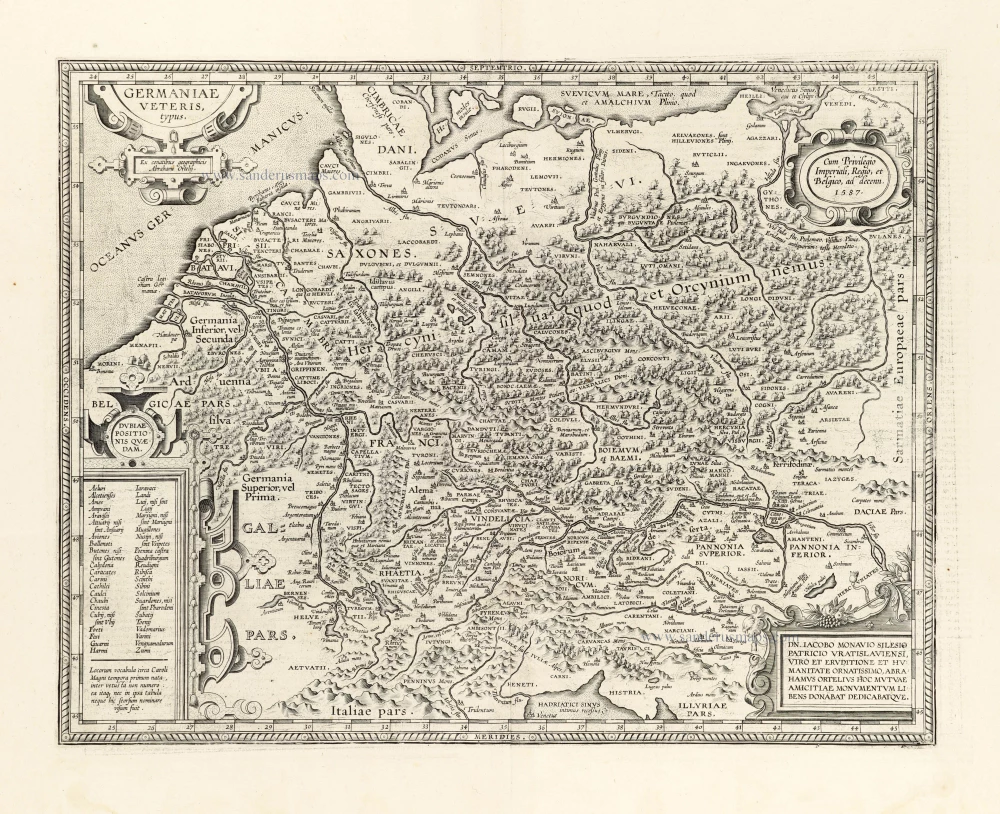
Germaniae Veteris Typus. 1612
Ancient Germania by Abraham Ortelius.
[Item number: 23115]

Nova et prae caeteris aliis Correcta Germaniae Tabula, comprehendens accuratam X. Circulorum, Bohemiae Regni, ac Universae Helvetiae descriptionem. 1689-90
GERMANIA by de Wit F.
[Item number: 24404]

L'Allemagne. 1713
Germania, by P. Van der Aa.
[Item number: 26178]
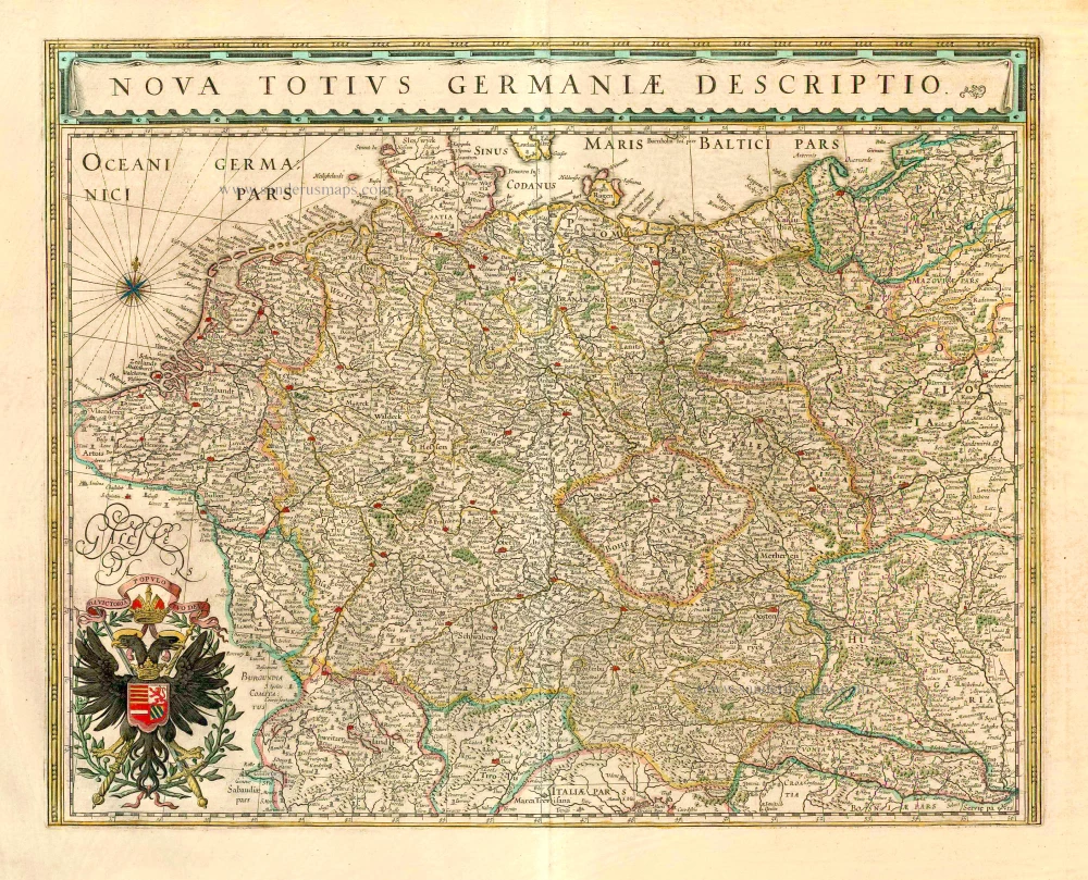
Nova Totius Germaniae Descriptio. 1643
Germania, by Willem Blaeu.
[Item number: 27104]
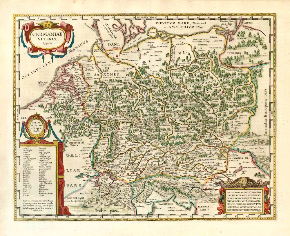
Germaniae Veteris Typus. 1643
Ancient Germania, by Willem Blaeu.
[Item number: 27122]

Germania. [Above the map :] Carte générale d'Alemaigne. 1575
Germania, by François de Belleforest.
[Item number: 27381]
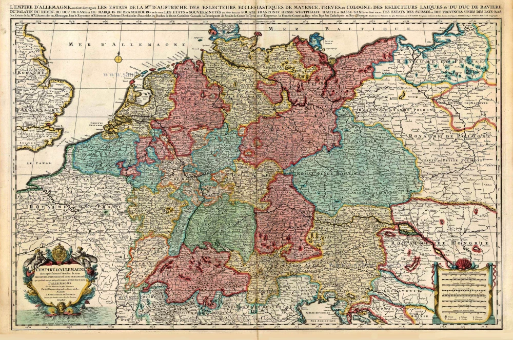
L'Empire d'Allemagne distingué suivant l'étendue de tous les Estats, Principautés et Souverainetés qui passent ou qui ont passé jusque a present sous le nom d'Allemagne. c. 1705
Germania, by Pieter Mortier.
[Item number: 27803]

Very rare. First state.
Nova Germaniae & Accurata delineatio. 1628
Germania, by Pieter Verbiest.
[Item number: 27933]
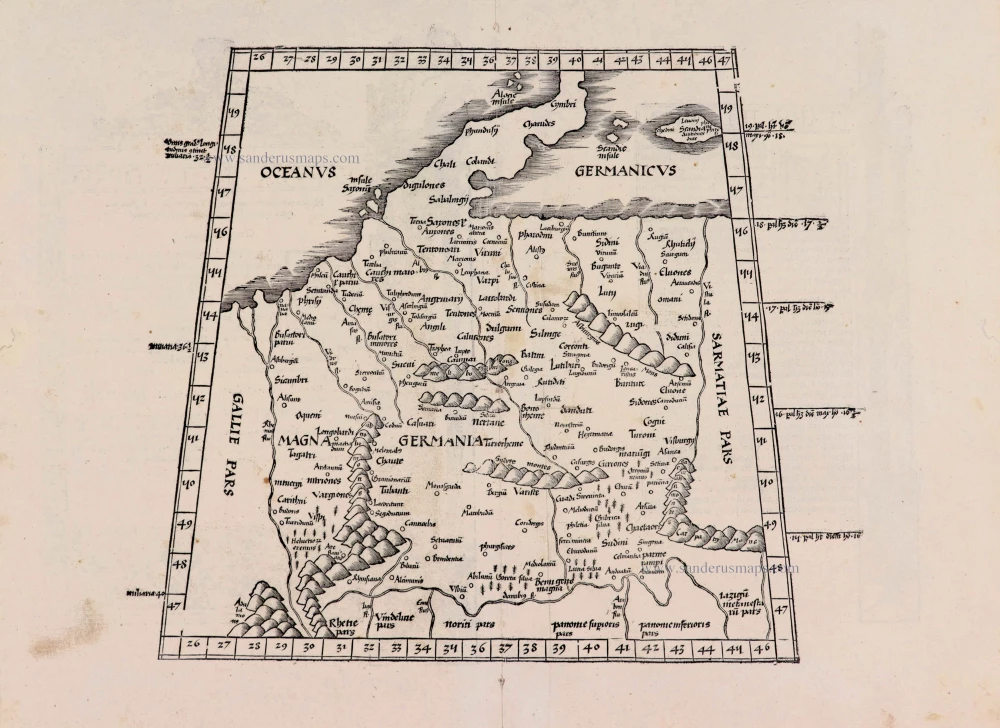
[No title] - [On verso:] Tabula .IIII. Europae. 1525
Ptolemaic Germania, by Lorenz Fries.
[Item number: 27958]
Germania. 1623
Germania by Gerard Mercator.
[Item number: 28939]
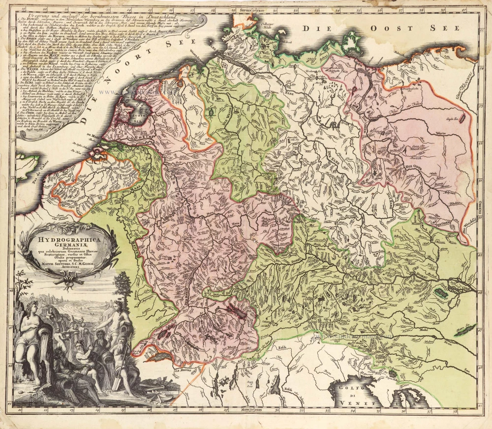
Hydrographica Germaniae c. 1741
Germania, by George Matthaus Seutter.
[Item number: 29057]

Germania. 1595
Germania, by Abraham Ortelius.
[Item number: 30248]

Description de la Germanie. 1568
Germania by Sebastian Münster.
[Item number: 30522]
Germania, Non ea tantum quae Rheno, Vistula, Danubio, mariqz Germanico Veteribus claudebatur; c. 1630-1650
Germania by an unknown mapmaker (Jean Leclerc?)
[Item number: 30842]

Scarce second state, unknown to Hollstein
Germania - Germaniae post omnes in hac forma editiones exactissima locupletißimaqz descriptio. 1631
Germania by Claes Jansz Visscher.
[Item number: 31336]