
Germania, by Frans Hogenberg, published by J.B. Vrients. 1612
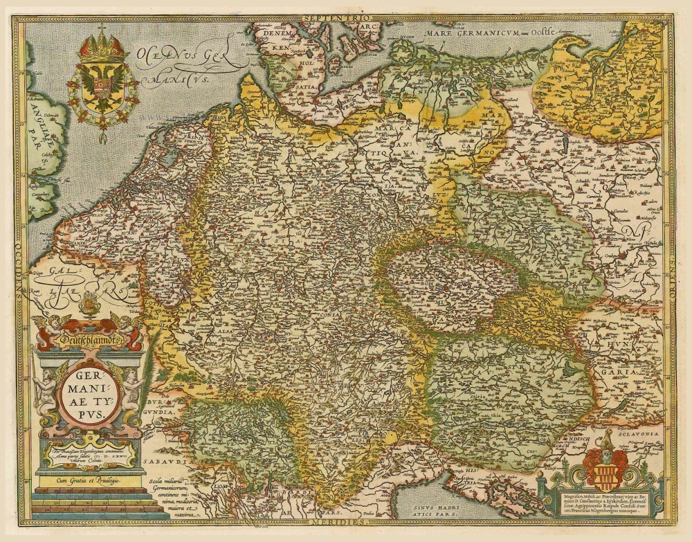
The original plate, engraved in 1576 by F. Hogenberg, was acquired by Vrients and with some small alternations used for his editions of the Theatrum Orbis Terrarum since 1603.
Abraham Ortelius (1527-1598)
The maker of the 'first atlas', the Theatrum Orbis Terrarum (1570), was born on 4 April 1527 into an old Antwerp family. He learned Latin and studied Greek and mathematics.
Abraham and his sisters, Anne and Elizabeth, took up map colouring. Ortelius was admitted to the Guild of St. Luke as an "illuminator of maps." In addition to colouring maps, Ortelius was a dealer in antiques, coins, maps, and books, and the book and map trade gradually became his primary occupation.
Business went well because his means allowed him to amass an extensive collection of medals, coins, and antiques, as well as a library of many volumes. In addition, he travelled extensively, visited Italy and France, made contacts with scholars and editors everywhere, and maintained extensive correspondence with them.
In 1564, he published his first map, a large and ambitious world wall map. The inspiration for this map may well have been Gastaldi's large world map. In 1565, he published a map of Egypt and a map of the Holy Land; a large map of Asia followed.
In 1568, the production of individual maps for his atlas Theatrum Orbis Terrarum was already in full swing. He completed the atlas in 1569, and in May 1570, it was available for sale. It was one of the most expensive books ever published.
This first edition contained seventy maps on fifty-three sheets. Franciscus Hogenberg engraved the maps.
Later editions included Additamenta (additions), resulting in Ortelius' historical atlas, the Parergon, which is mainly bound together with the atlas. The Parergon can be considered a truly original work by Ortelius, who drew the maps based on his research.
The importance of the Theatrum Orbis Terrarum for geographical knowledge in the last quarter of the sixteenth century is difficult to overemphasise. Nothing was like it until Mercator's atlas appeared twenty-five years later. Demand for the Theatrum was remarkable. Some 24 editions appeared during Ortelius's lifetime, and another 10 after he died in 1598. Editions were published in Dutch, German, French, Spanish, English, and Italian. The number of map sheets grew from 53 in 1570 to 167 in the last edition in 1612.
In 1577, engraver Philip Galle and poet-translator Pieter Heyns published the first pocket-sized edition of the Theatrum, the Epitome. The work was trendy. Over thirty editions of this Epitome were published in different languages.
Ortelius is also remembered for an early idea resembling continental drift: he suggested that the Americas, Europe, and Africa may once have been joined together before separating over time. His work helped shape the development of modern geography and mapmaking.
Jan Baptist Vrients 1552-1612
Although Jan Baptist Vrients (Vrintius) was a map- and print-seller and an engraver, he was mainly active as a map publisher. He was enrolled in the Guild of St. Luke in Antwerpen in 1575. He published several cartographic works of great importance, i.e., Petrus Plancius's large world map of 1592. After 1600, he acquired the stock and the plates of De Jode's Speculum and Ortelius' Theatrum. He continued the editions of the Theatrum and those of the Epitome, the plates of which he had acquired from Philip Galle and Johannes Keerbergen. In 1603, Vrients published an atlas of the Netherlands compiled from the Theatrum sheets. When Vrients died in 1612, the whole stock and the copperplates were sold to the Moretus Brothers of the House Plantin, who compiled another three editions of the Theatrum.
Frans (Franz) Hogenberg (1535-1590)
Frans Hogenberg was a Flemish and German painter, engraver, and mapmaker. He was born in Mechelen as the son of Nicolaas Hogenberg.
By the end of the 1560s Frans Hogenberg was employed upon Abraham Ortelius's Theatrum Orbis Terrarum, published in 1570; he is named as engraver of numerous maps. In 1568 he was bannend from Antwerp by the Duke of Alva and travelled to London, where he stayed a few years before emigrating to Cologne. There he immediately embarked on his two most important works, the Civitates published from 1572 and the Geschichtsblätter, which appeared in several series from 1569 until about 1587.
Thanks to such large scale projects as the Geschichtsblätter and the Civitates, Hogenberg's social circumstances improved with each passing year. He died as a wealthy man in Cologne in 1590.
Deutschlanndt - Germaniae Typus
Item Number: 21682 Authenticity Guarantee
Category: Antique maps > Europe > Germany
Germania, by Frans Hogenberg, published by J.B. Vrients.
Title: Deutschlanndt - Germaniae Typus
Date of the first atlas edition: 1602.
Date of this map: 1612.
Date on map: 1576.
Copper engraving, printed on paper.
Image size: 380 x 495mm (15 x 19½ inches).
Sheet size: 460 x 570mm (18 x 22½ inches).
Verso: Latin text.
Condition: Original coloured, excellent.
Condition Rating: A+.
From: Theatrum Orbis Terrarum Abrahami Ortelii Antverp. Antwerpen, Plantin Press (J. & B. Moretus), 1612. (Van der Krogt 3, 1:055).
The original plate, engraved in 1576 by F. Hogenberg, was acquired by Vrients and with some small alternations used for his editions of the Theatrum Orbis Terrarum since 1603.
Abraham Ortelius (1527-1598)
The maker of the 'first atlas', the Theatrum Orbis Terrarum (1570), was born on 4 April 1527 into an old Antwerp family. He learned Latin and studied Greek and mathematics.
Abraham and his sisters, Anne and Elizabeth, took up map colouring. Ortelius was admitted to the Guild of St. Luke as an "illuminator of maps." In addition to colouring maps, Ortelius was a dealer in antiques, coins, maps, and books, and the book and map trade gradually became his primary occupation.
Business went well because his means allowed him to amass an extensive collection of medals, coins, and antiques, as well as a library of many volumes. In addition, he travelled extensively, visited Italy and France, made contacts with scholars and editors everywhere, and maintained extensive correspondence with them.
In 1564, he published his first map, a large and ambitious world wall map. The inspiration for this map may well have been Gastaldi's large world map. In 1565, he published a map of Egypt and a map of the Holy Land; a large map of Asia followed.
In 1568, the production of individual maps for his atlas Theatrum Orbis Terrarum was already in full swing. He completed the atlas in 1569, and in May 1570, it was available for sale. It was one of the most expensive books ever published.
This first edition contained seventy maps on fifty-three sheets. Franciscus Hogenberg engraved the maps.
Later editions included Additamenta (additions), resulting in Ortelius' historical atlas, the Parergon, which is mainly bound together with the atlas. The Parergon can be considered a truly original work by Ortelius, who drew the maps based on his research.
The importance of the Theatrum Orbis Terrarum for geographical knowledge in the last quarter of the sixteenth century is difficult to overemphasise. Nothing was like it until Mercator's atlas appeared twenty-five years later. Demand for the Theatrum was remarkable. Some 24 editions appeared during Ortelius's lifetime, and another 10 after he died in 1598. Editions were published in Dutch, German, French, Spanish, English, and Italian. The number of map sheets grew from 53 in 1570 to 167 in the last edition in 1612.
In 1577, engraver Philip Galle and poet-translator Pieter Heyns published the first pocket-sized edition of the Theatrum, the Epitome. The work was trendy. Over thirty editions of this Epitome were published in different languages.
Ortelius is also remembered for an early idea resembling continental drift: he suggested that the Americas, Europe, and Africa may once have been joined together before separating over time. His work helped shape the development of modern geography and mapmaking.
Jan Baptist Vrients 1552-1612
Although Jan Baptist Vrients (Vrintius) was a map- and print-seller and an engraver, he was mainly active as a map publisher. He was enrolled in the Guild of St. Luke in Antwerpen in 1575. He published several cartographic works of great importance, i.e., Petrus Plancius's large world map of 1592. After 1600, he acquired the stock and the plates of De Jode's Speculum and Ortelius' Theatrum. He continued the editions of the Theatrum and those of the Epitome, the plates of which he had acquired from Philip Galle and Johannes Keerbergen. In 1603, Vrients published an atlas of the Netherlands compiled from the Theatrum sheets. When Vrients died in 1612, the whole stock and the copperplates were sold to the Moretus Brothers of the House Plantin, who compiled another three editions of the Theatrum.
Frans (Franz) Hogenberg (1535-1590)
Frans Hogenberg was a Flemish and German painter, engraver, and mapmaker. He was born in Mechelen as the son of Nicolaas Hogenberg.
By the end of the 1560s Frans Hogenberg was employed upon Abraham Ortelius's Theatrum Orbis Terrarum, published in 1570; he is named as engraver of numerous maps. In 1568 he was bannend from Antwerp by the Duke of Alva and travelled to London, where he stayed a few years before emigrating to Cologne. There he immediately embarked on his two most important works, the Civitates published from 1572 and the Geschichtsblätter, which appeared in several series from 1569 until about 1587.
Thanks to such large scale projects as the Geschichtsblätter and the Civitates, Hogenberg's social circumstances improved with each passing year. He died as a wealthy man in Cologne in 1590.
Related items

S.R.I. in Germania ... c. 1715
Germania, by F. de Wit - Covens & Mortier.
[Item number: 1262]
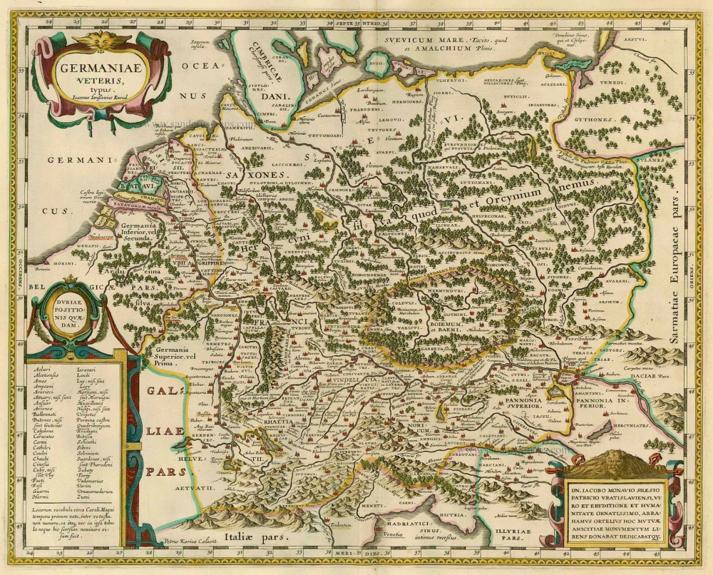
Germaniae Veteris, typus. 1630
GERMANY by Joannes Janssonius
[Item number: 21525]

Germania 1598
Germania, by A. Ortelius.
[Item number: 22916]
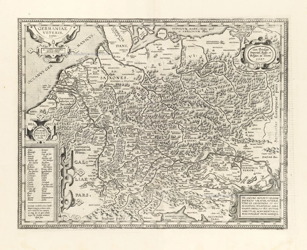
Germaniae Veteris Typus. 1612
Ancient Germania by Abraham Ortelius.
[Item number: 23115]

Nova et prae caeteris aliis Correcta Germaniae Tabula, comprehendens accuratam X. Circulorum, Bohemiae Regni, ac Universae Helvetiae descriptionem. 1689-90
GERMANIA by de Wit F.
[Item number: 24404]

L'Allemagne. 1713
Germania, by P. Van der Aa.
[Item number: 26178]
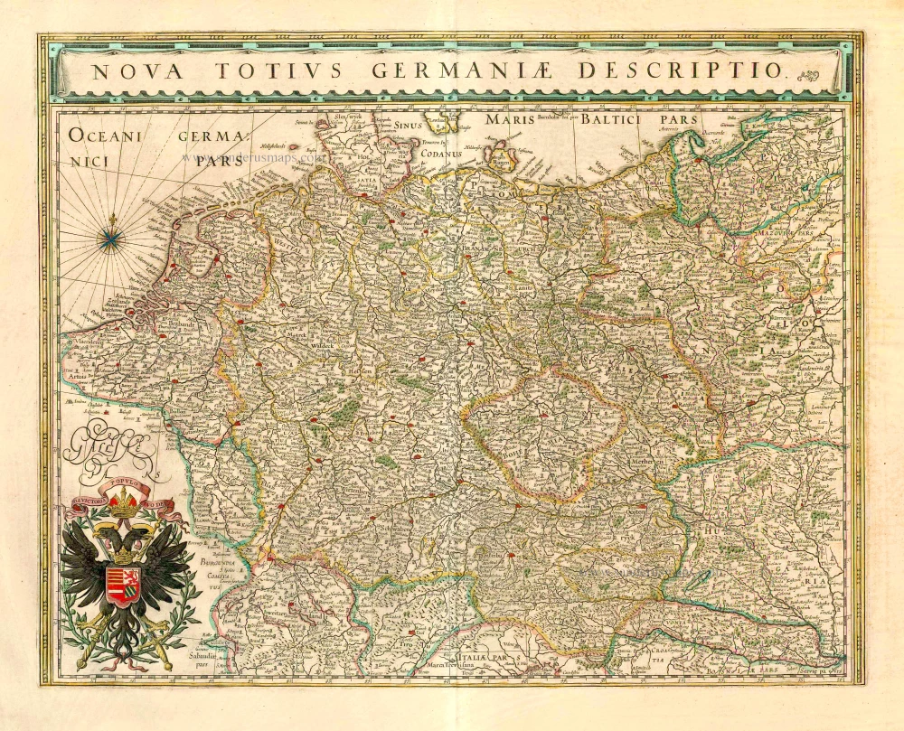
Nova Totius Germaniae Descriptio. 1643
Germania, by Willem Blaeu.
[Item number: 27104]
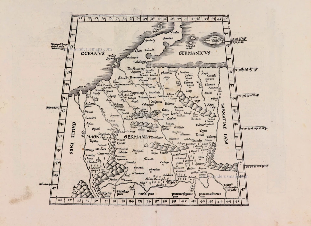
[No title] - [On verso:] Tabula .IIII. Europae. 1525
Ptolemaic Germania, by Lorenz Fries.
[Item number: 27958]
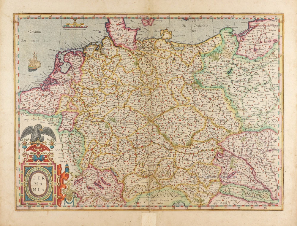
Germania. 1623
Germania by Gerard Mercator.
[Item number: 28939]

Germania. 1595
Germania, by Abraham Ortelius.
[Item number: 30248]

Description de la Germanie. 1568
Germania by Sebastian Münster.
[Item number: 30522]
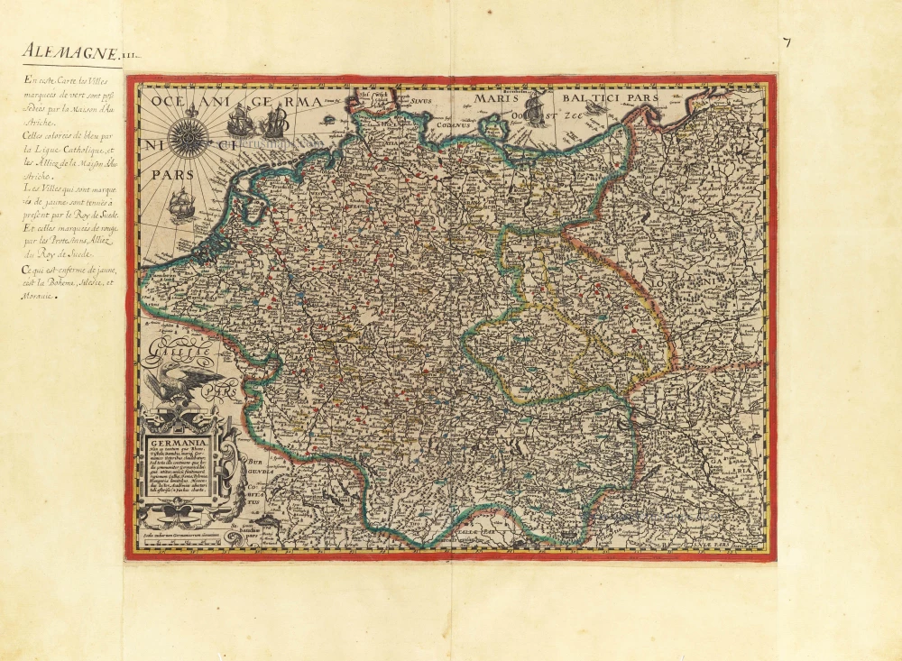
Germania, Non ea tantum quae Rheno, Vistula, Danubio, mariqz Germanico Veteribus claudebatur; c. 1630-1650
Germania by an unknown mapmaker (Jean Leclerc?)
[Item number: 30842]

Scarce second state, unknown to Hollstein
Germania - Germaniae post omnes in hac forma editiones exactissima locupletißimaqz descriptio. 1631
Germania by Claes Jansz Visscher.
[Item number: 31336]

Accuratissima Germaniae Tabula 1682-88
Germania by Frederick de Wit.
[Item number: 32604]

Germaniae Nova Et Accurata Delineatio. 1639-44
Germania, by Henricus Hondius.
[Item number: 33212]

Hydrographia Germaniae qua Geographiae Naturalis ... 1712
Germania - River System, by Johann Baptist Homann.
[Item number: 33256]
new