
Gottorp (South) by Johannes Meyer, published by Joan Blaeu. 1662
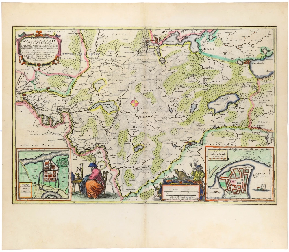
A magnificent and highly detailed seventeenth-century map of the southern part of the district of Gottorp in the Duchy of Schleswig, in present-day Schleswig-Holstein, northern Germany. Surveyed and drawn by the distinguished German cartographer Johannes Meyer (Mejer), engraved by the brothers Matthias and Nikolaus Petersen of Husum, and published by Joan Blaeu in his celebrated Atlas Maior.
The map covers the territory extending from the marshlands along the North Sea coast in the west to the Baltic coast around Eckernförde in the east. It includes the districts of Stapelholm, Kropp, Hohn and Hütten, together with the surrounding countryside. The town of Schleswig and the ducal residence of Gottorp appear near the upper centre, while Eckernförde is prominently depicted on the Baltic coast.
The map is remarkable for its exceptionally detailed topographical information, showing an extensive network of roads, rivers, streams, lakes, villages, settlements, forests, heathlands and marshes. Particular attention is given to the complex waterways of the Eider River and its tributaries, as well as to the geographical distinction between the fertile coastal marshes and the sandy inland heathlands. Wooded areas are represented by clusters of miniature trees, while the administrative boundaries are carefully delineated.
The map is particularly distinguished by its elaborate decorative programme. The title appears in a richly ornamented cartouche in the upper left corner and includes a dedication to Johann Adolf Kielmann von Kielmannsegg (1612–1676), the influential chancellor and statesman of the Duchy of Schleswig-Holstein-Gottorp.
Two finely engraved inset town plans occupy the map's lower corners. The inset at lower left depicts Friedrichstadt, the planned town founded in 1621 by Duke Frederick III of Schleswig-Holstein-Gottorp, with its characteristic regular street pattern and canals. The inset at lower right shows Eckernförde, illustrating the town's layout and its position on the Baltic coast.
Between these insets are two charming allegorical compositions. At lower left, a seated female figure is engaged in domestic work, accompanied by implements and objects associated with everyday rural life. At lower centre, two figures and a group of animals surround an ornamental cartouche containing the scale and the engravers' signatures. These decorative details lend the map an exceptional artistic quality, characteristic of the finest productions of seventeenth-century Dutch cartography.
Johannes Meyer (1606–1674), born in Husum, was one of the most accomplished regional cartographers of seventeenth-century Germany. He devoted much of his career to surveying Schleswig-Holstein and the North Frisian coastal regions. His maps are notable for their remarkable geographical precision and rich local detail. His most important cartographic achievement was the Newe Landesbeschreibung der zwey Hertzogthümer Schleswich und Holstein, published in Husum in 1652 in collaboration with the historian Caspar Danckwerth.
Meyer's detailed surveys provided an important foundation for subsequent cartographic representations of Schleswig-Holstein, including maps published by the great Dutch atlasmakers.
The present map was published in Joan Blaeu's monumental Atlas Maior, issued in Amsterdam from 1662 onwards. This lavish atlas, comprising hundreds of finely engraved maps, represented one of the greatest achievements of the Dutch Golden Age of cartography.
Together with Praefecturae Gottorpiensis Pars Borealis, this map forms a complementary pair illustrating the northern and southern parts of the Gottorp district. The two maps are especially interesting for their combination of Meyer's detailed regional surveying, the fine engraving of the Petersen brothers, and the elegant presentation associated with Blaeu's atlas production.
A superb example of seventeenth-century regional cartography, with finely engraved topographical detail, elaborate cartouches and two inset town plans.
The Blaeus: Willem Janszoon, Cornelis & Joan
Willem Jansz. Blaeu and his son Joan Blaeu are the seventeenth century's most widely known cartographic publishers.
Willem Jansz. (also written Guilielmus Janssonius) = Willem Janszoon Blaeu was born in Uitgeest (Netherlands), near Alkmaar, in 1571. He studied mathematics under Tycho Brahe and learned the theory and practice of astronomical observations and the art of instrument- and globe-making.
In 1596, he came to Amsterdam, where he settled down as a globe-, instrument- and mapmaker. He published his first cartographic work (a globe) in 1599 and probably published his first printed map (a map of the Netherlands) in 1604. He specialised in maritime cartography, published the first edition of the pilot guide Het Licht der Zeevaert in 1608, and was appointed Hydrographer of the V.O.C. (United East India Company) in 1633. After publishing books, wall maps, globes, charts and pilot guides for thirty years, he brought out his first atlas, Atlas Appendix (1630). This was the beginning of the great tradition of atlas-making by the Blaeus.
In 1618, another mapmaker, bookseller and publisher, Johannes Janssonius, established himself in Amsterdam next door to Blaeu's shop. No wonder these two neighbours began accusing each other of copying and stealing their information and became fierce competitors who did not have a good word to say about each other. In about 1621 Willem Jansz. decided to end the confusion between his name and his competitor's and assumed his grandfather's nickname, 'blauwe Willem' ('blue Willem'), as the family name; after that, he called himself Willem Jansz. Blaeu.
Willem Janszoon Blaeu died in 1638, leaving his prospering business to his sons, Cornelis and Joan. We only know that Cornelis's name occurs in the prefaces of books and atlases until c. 1645.
Joan Blaeu, born in Amsterdam in 1596, became a partner in his father's book trade and printing business. 1638, he was appointed his father's successor in the Hydrographic Office of the V.O.C. His efforts culminated in the magnificent Atlas Major and the town books of the Netherlands and Italy – works unsurpassed in history and modern times, giving eternal fame to the name of the Blaeu's.
A fire ruined the business on February 23, 1672, and one year later, Dr. Joan Blaeu died. The fire and the director's passing caused the complete sale of the Blaeu House's stock. Five public auctions dispersed the remaining books, atlases, copperplates, globes, etc., among many other map dealers and publishers in Amsterdam. The majority was acquired by several booksellers acting in partnership.
In the succeeding years, the remaining printing department remained in the hands of the Blaeu family until 1695, when the printing house's inventory was sold at a public auction. That meant the end of the Blaeu family as a printing house of world renown.
Praefecturae Gottorpiensis Pars Australis.
Item Number: 33400 new Authenticity Guarantee
Category: Antique maps > Europe > Germany
Gottorp (South) by Johannes Meyer, published by Joan Blaeu.
Title: Praefecturae Gottorpiensis Pars Australis.
Matthias und Clauss Peters. Goldtschmide und gbr. sculp.Husumens.
Cartographer: Johannes Meyer.
Engraver: Matthias and Nikolaus Peters.
Date of the first edition: 1662.
Date of this map: 1662.
Copper engraving, printed on paper.
Image size: 405 x 600mm (16 x 23½ inches).
Sheet size: 555 x 645mm (21¾ x 25½ inches).
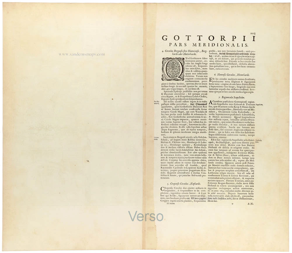
Verso: Latin text.
Condition: Hand-coloured, excellent.
Condition Rating: A+.
From: Atlas Maior, Sive Cosmographia Blaviana, Qua Solum, Salum, Coelum, Accuratissime Describuntur. Amsterdam, J. Blaeu, 1662-65. (Van der Krogt 2, 601-3)
A magnificent and highly detailed seventeenth-century map of the southern part of the district of Gottorp in the Duchy of Schleswig, in present-day Schleswig-Holstein, northern Germany. Surveyed and drawn by the distinguished German cartographer Johannes Meyer (Mejer), engraved by the brothers Matthias and Nikolaus Petersen of Husum, and published by Joan Blaeu in his celebrated Atlas Maior.
The map covers the territory extending from the marshlands along the North Sea coast in the west to the Baltic coast around Eckernförde in the east. It includes the districts of Stapelholm, Kropp, Hohn and Hütten, together with the surrounding countryside. The town of Schleswig and the ducal residence of Gottorp appear near the upper centre, while Eckernförde is prominently depicted on the Baltic coast.
The map is remarkable for its exceptionally detailed topographical information, showing an extensive network of roads, rivers, streams, lakes, villages, settlements, forests, heathlands and marshes. Particular attention is given to the complex waterways of the Eider River and its tributaries, as well as to the geographical distinction between the fertile coastal marshes and the sandy inland heathlands. Wooded areas are represented by clusters of miniature trees, while the administrative boundaries are carefully delineated.
The map is particularly distinguished by its elaborate decorative programme. The title appears in a richly ornamented cartouche in the upper left corner and includes a dedication to Johann Adolf Kielmann von Kielmannsegg (1612–1676), the influential chancellor and statesman of the Duchy of Schleswig-Holstein-Gottorp.
Two finely engraved inset town plans occupy the map's lower corners. The inset at lower left depicts Friedrichstadt, the planned town founded in 1621 by Duke Frederick III of Schleswig-Holstein-Gottorp, with its characteristic regular street pattern and canals. The inset at lower right shows Eckernförde, illustrating the town's layout and its position on the Baltic coast.
Between these insets are two charming allegorical compositions. At lower left, a seated female figure is engaged in domestic work, accompanied by implements and objects associated with everyday rural life. At lower centre, two figures and a group of animals surround an ornamental cartouche containing the scale and the engravers' signatures. These decorative details lend the map an exceptional artistic quality, characteristic of the finest productions of seventeenth-century Dutch cartography.
Johannes Meyer (1606–1674), born in Husum, was one of the most accomplished regional cartographers of seventeenth-century Germany. He devoted much of his career to surveying Schleswig-Holstein and the North Frisian coastal regions. His maps are notable for their remarkable geographical precision and rich local detail. His most important cartographic achievement was the Newe Landesbeschreibung der zwey Hertzogthümer Schleswich und Holstein, published in Husum in 1652 in collaboration with the historian Caspar Danckwerth.
Meyer's detailed surveys provided an important foundation for subsequent cartographic representations of Schleswig-Holstein, including maps published by the great Dutch atlasmakers.
The present map was published in Joan Blaeu's monumental Atlas Maior, issued in Amsterdam from 1662 onwards. This lavish atlas, comprising hundreds of finely engraved maps, represented one of the greatest achievements of the Dutch Golden Age of cartography.
Together with Praefecturae Gottorpiensis Pars Borealis, this map forms a complementary pair illustrating the northern and southern parts of the Gottorp district. The two maps are especially interesting for their combination of Meyer's detailed regional surveying, the fine engraving of the Petersen brothers, and the elegant presentation associated with Blaeu's atlas production.
A superb example of seventeenth-century regional cartography, with finely engraved topographical detail, elaborate cartouches and two inset town plans.
The Blaeus: Willem Janszoon, Cornelis & Joan
Willem Jansz. Blaeu and his son Joan Blaeu are the seventeenth century's most widely known cartographic publishers.
Willem Jansz. (also written Guilielmus Janssonius) = Willem Janszoon Blaeu was born in Uitgeest (Netherlands), near Alkmaar, in 1571. He studied mathematics under Tycho Brahe and learned the theory and practice of astronomical observations and the art of instrument- and globe-making.
In 1596, he came to Amsterdam, where he settled down as a globe-, instrument- and mapmaker. He published his first cartographic work (a globe) in 1599 and probably published his first printed map (a map of the Netherlands) in 1604. He specialised in maritime cartography, published the first edition of the pilot guide Het Licht der Zeevaert in 1608, and was appointed Hydrographer of the V.O.C. (United East India Company) in 1633. After publishing books, wall maps, globes, charts and pilot guides for thirty years, he brought out his first atlas, Atlas Appendix (1630). This was the beginning of the great tradition of atlas-making by the Blaeus.
In 1618, another mapmaker, bookseller and publisher, Johannes Janssonius, established himself in Amsterdam next door to Blaeu's shop. No wonder these two neighbours began accusing each other of copying and stealing their information and became fierce competitors who did not have a good word to say about each other. In about 1621 Willem Jansz. decided to end the confusion between his name and his competitor's and assumed his grandfather's nickname, 'blauwe Willem' ('blue Willem'), as the family name; after that, he called himself Willem Jansz. Blaeu.
Willem Janszoon Blaeu died in 1638, leaving his prospering business to his sons, Cornelis and Joan. We only know that Cornelis's name occurs in the prefaces of books and atlases until c. 1645.
Joan Blaeu, born in Amsterdam in 1596, became a partner in his father's book trade and printing business. 1638, he was appointed his father's successor in the Hydrographic Office of the V.O.C. His efforts culminated in the magnificent Atlas Major and the town books of the Netherlands and Italy – works unsurpassed in history and modern times, giving eternal fame to the name of the Blaeu's.
A fire ruined the business on February 23, 1672, and one year later, Dr. Joan Blaeu died. The fire and the director's passing caused the complete sale of the Blaeu House's stock. Five public auctions dispersed the remaining books, atlases, copperplates, globes, etc., among many other map dealers and publishers in Amsterdam. The majority was acquired by several booksellers acting in partnership.
In the succeeding years, the remaining printing department remained in the hands of the Blaeu family until 1695, when the printing house's inventory was sold at a public auction. That meant the end of the Blaeu family as a printing house of world renown.
Related items
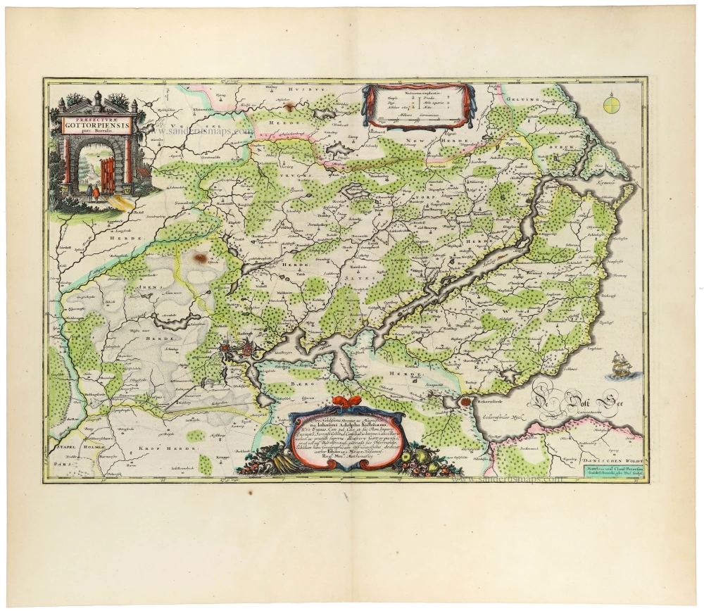
Praefecturae Gottorpiensis Pars Borealis. 1662
Gottorp (North) by Johannes Meyer, published by Joan Blaeu.
[Item number: 33399]
new
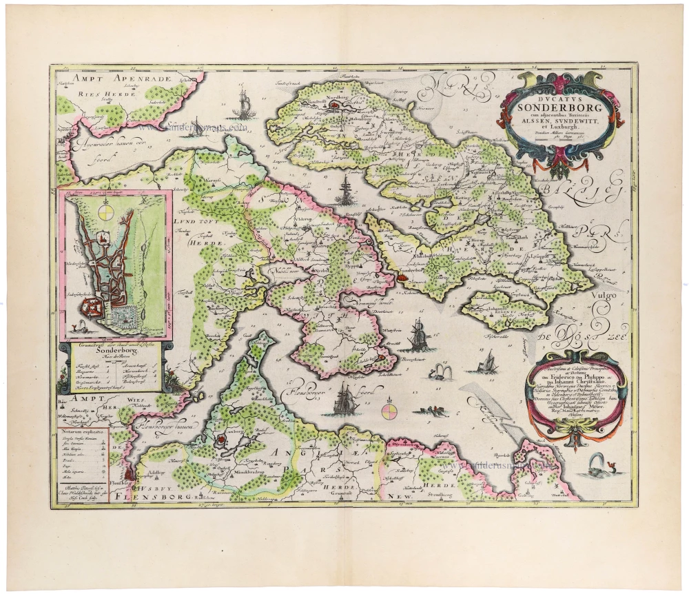
Ducatus Sonderborg cum adjacentibus Territoriis Alssen, Sundewitt, et Luxburgh. 1662
Sonderborg and the Island of Als, by Johannes Meyer, published by Joan Blaeu.
[Item number: 33403]
new
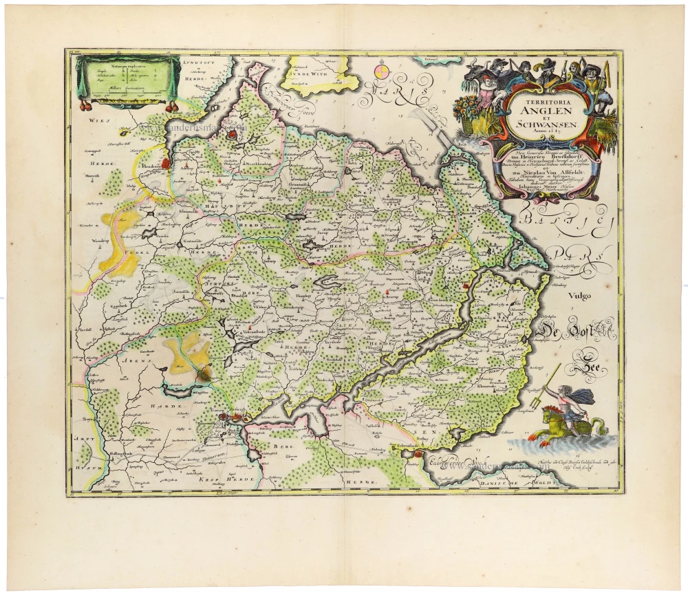
Territoria Anglen et Schwansen. 1662
Angeln and Schwansen, Schleswig-Holstein, by Johannes Meyer, published by Joan Blaeu.
[Item number: 33404]
new
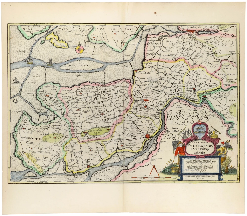
Territoria Eyderstede Everschop et Uthholm Matthias und Nicolaus Pet. 1662
Eiderstedt, Evershop, and Utholm, Schleswig-Holstein, by Johannes Meyer, published by Joan Blaeu.
[Item number: 33405]
new
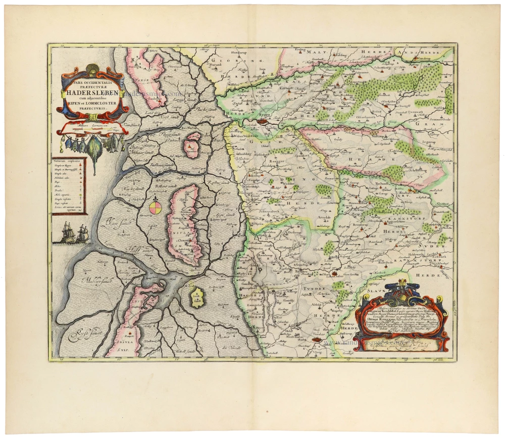
Pars Occidentalis Praefecturae Hadersleben cum adjacentibus Ripen et Lohmcloster Praefecturis. 1662
Haderslev (West), Denmark, by Johannes Meyer, published by Joan Blaeu.
[Item number: 33406]
new
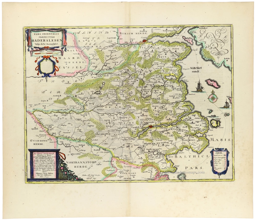
Pars Orientalis Praefecturae Hadersleben Vulgo dictae Baringsijssel. 1662
Haderslev (East), Denmark, by Johannes Meyer, published by Joan Blaeu.
[Item number: 33407]
new
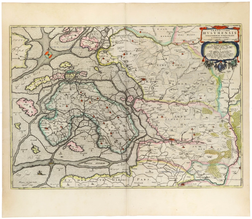
Praefectura Husumensis Lunderbergh Nordstrand et Nordgoesherde. 1662
Nordergosharde, Husum, Lundenberg, and Nordstrand (Schleswig-Holstein), by Johannes Meyer, published by Joan Blaeu.
[Item number: 33408]
new