
Sonderborg and the Island of Als, by Johannes Meyer, published by Joan Blaeu. 1662
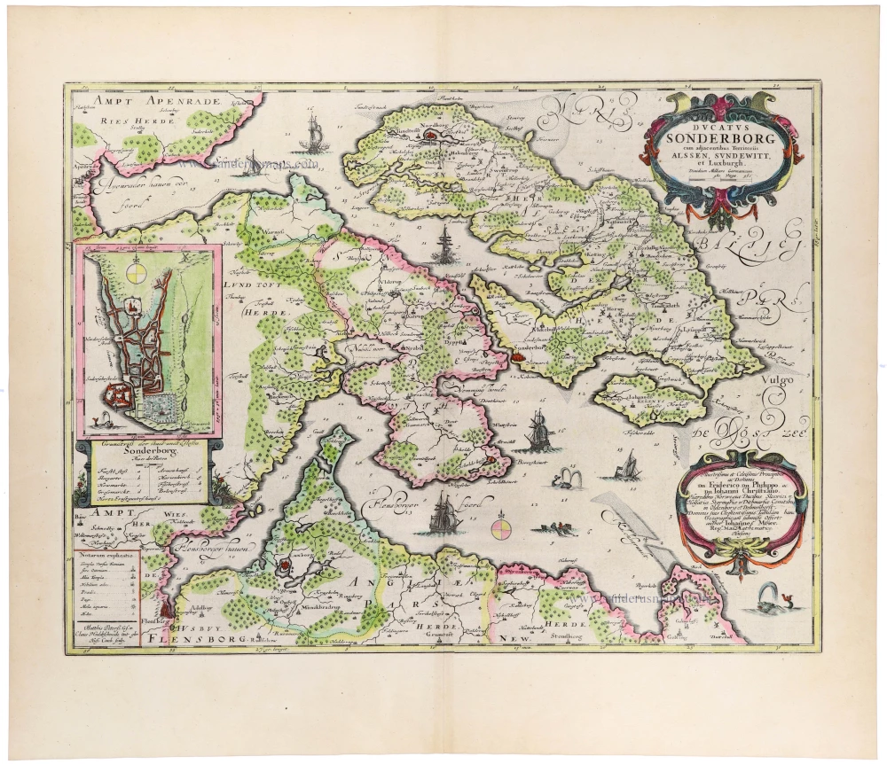
A magnificent, highly detailed seventeenth-century map of the Duchy of Sonderborg, depicting the island of Als (Alsen), the peninsula of Sundeved (Sundewitt), and the surrounding territories of southern Jutland in present-day Denmark.
The map was prepared by the distinguished Schleswig-Holstein cartographer Johannes Meyer (1606–1674), whose remarkably accurate surveys of the region formed the basis for a series of maps published in Joan Blaeu's monumental Atlas Maior.
The island of Als occupies the central and eastern portions of the map, separated from the mainland by the narrow Als Sund. The surrounding waters, including the Flensburg Fjord and the western Baltic Sea, are carefully delineated, with numerous soundings indicating navigational depths. Towns, villages, churches, estates, forests, roads, and administrative boundaries are represented in considerable detail, providing a valuable record of the region's seventeenth-century topography and settlement.
Particularly attractive is the inset plan of Sonderborg, situated on the left side of the map. It shows the fortified town, its street layout, harbour, and imposing castle, accompanied by a numbered key identifying important buildings and landmarks.
The map is richly embellished with two elaborate Baroque cartouches. The large title cartouche in the upper right is surrounded by colourful ornamental scrollwork, while the dedicatory cartouche below honours the princes Friedrich, Philipp, and Johann Christian of the Schleswig-Holstein-Sonderburg dynasty. The surrounding sea is enlivened by several sailing ships, a rowing boat, a sea creature, and decorative compass roses.
The engraving is the work of Matthias and Nikolaus Peters, goldsmiths and engravers from Husum, who collaborated with Meyer on his celebrated maps of Schleswig-Holstein.
The combination of exceptionally detailed cartography, elaborate decoration, and fine engraving makes this one of the most attractive regional maps of southern Denmark published in Blaeu's Atlas Maior.
The Blaeus: Willem Janszoon, Cornelis & Joan
Willem Jansz. Blaeu and his son Joan Blaeu are the seventeenth century's most widely known cartographic publishers.
Willem Jansz. (also written Guilielmus Janssonius) = Willem Janszoon Blaeu was born in Uitgeest (Netherlands), near Alkmaar, in 1571. He studied mathematics under Tycho Brahe and learned the theory and practice of astronomical observations and the art of instrument- and globe-making.
In 1596, he came to Amsterdam, where he settled down as a globe-, instrument- and mapmaker. He published his first cartographic work (a globe) in 1599 and probably published his first printed map (a map of the Netherlands) in 1604. He specialised in maritime cartography, published the first edition of the pilot guide Het Licht der Zeevaert in 1608, and was appointed Hydrographer of the V.O.C. (United East India Company) in 1633. After publishing books, wall maps, globes, charts and pilot guides for thirty years, he brought out his first atlas, Atlas Appendix (1630). This was the beginning of the great tradition of atlas-making by the Blaeus.
In 1618, another mapmaker, bookseller and publisher, Johannes Janssonius, established himself in Amsterdam next door to Blaeu's shop. No wonder these two neighbours began accusing each other of copying and stealing their information and became fierce competitors who did not have a good word to say about each other. In about 1621 Willem Jansz. decided to end the confusion between his name and his competitor's and assumed his grandfather's nickname, 'blauwe Willem' ('blue Willem'), as the family name; after that, he called himself Willem Jansz. Blaeu.
Willem Janszoon Blaeu died in 1638, leaving his prospering business to his sons, Cornelis and Joan. We only know that Cornelis's name occurs in the prefaces of books and atlases until c. 1645.
Joan Blaeu, born in Amsterdam in 1596, became a partner in his father's book trade and printing business. 1638, he was appointed his father's successor in the Hydrographic Office of the V.O.C. His efforts culminated in the magnificent Atlas Major and the town books of the Netherlands and Italy – works unsurpassed in history and modern times, giving eternal fame to the name of the Blaeu's.
A fire ruined the business on February 23, 1672, and one year later, Dr. Joan Blaeu died. The fire and the director's passing caused the complete sale of the Blaeu House's stock. Five public auctions dispersed the remaining books, atlases, copperplates, globes, etc., among many other map dealers and publishers in Amsterdam. The majority was acquired by several booksellers acting in partnership.
In the succeeding years, the remaining printing department remained in the hands of the Blaeu family until 1695, when the printing house's inventory was sold at a public auction. That meant the end of the Blaeu family as a printing house of world renown.
Ducatus Sonderborg cum adjacentibus Territoriis Alssen, Sundewitt, et Luxburgh.
Item Number: 33403 new Authenticity Guarantee
Category: Antique maps > Europe > Northern Europe
Sonderborg and the Island of Als, by Johannes Meyer, published by Joan Blaeu.
Title: Ducatus Sonderborg cum adjacentibus Territoriis Alssen, Sundewitt, et Luxburgh.
Matthis Peterss G.s.v. Claus P. Goldtschmide und gbr. Huss. Cimbr. sculp.
Dedicated to Princes Fridericus, Philippus and Johannes Christianus of Norway, Schleswig etc. by the author Johannes Meyer.
Cartographer: Johannes Meyer.
Engraver: Matthias and Nikolaus Peters.
Date: 1662.
With an inset plan of Sonderborg.
Copper engraving, printed on paper.
Image size: 425 x 555mm (16¾ x 21¾ inches).
Sheet size: 560 x 645mm (22 x 25½ inches).
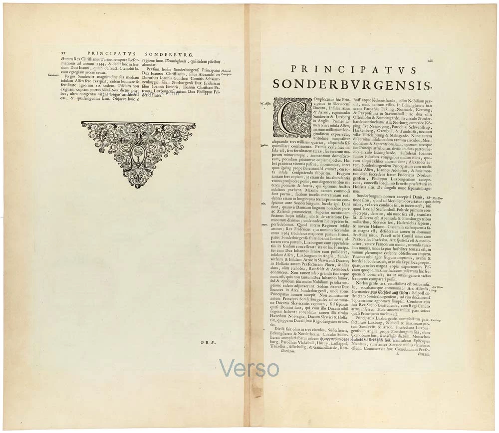
Verso: Latin text.
Condition: Hand-coloured, excellent.
Condition Rating: A+.
From: Atlas Maior, Sive Cosmographia Blaviana, Qua Solum, Salum, Coelum, Accuratissime Describuntur. Amsterdam, J. Blaeu, 1662-65. (Van der Krogt 2, 601-3)
A magnificent, highly detailed seventeenth-century map of the Duchy of Sonderborg, depicting the island of Als (Alsen), the peninsula of Sundeved (Sundewitt), and the surrounding territories of southern Jutland in present-day Denmark.
The map was prepared by the distinguished Schleswig-Holstein cartographer Johannes Meyer (1606–1674), whose remarkably accurate surveys of the region formed the basis for a series of maps published in Joan Blaeu's monumental Atlas Maior.
The island of Als occupies the central and eastern portions of the map, separated from the mainland by the narrow Als Sund. The surrounding waters, including the Flensburg Fjord and the western Baltic Sea, are carefully delineated, with numerous soundings indicating navigational depths. Towns, villages, churches, estates, forests, roads, and administrative boundaries are represented in considerable detail, providing a valuable record of the region's seventeenth-century topography and settlement.
Particularly attractive is the inset plan of Sonderborg, situated on the left side of the map. It shows the fortified town, its street layout, harbour, and imposing castle, accompanied by a numbered key identifying important buildings and landmarks.
The map is richly embellished with two elaborate Baroque cartouches. The large title cartouche in the upper right is surrounded by colourful ornamental scrollwork, while the dedicatory cartouche below honours the princes Friedrich, Philipp, and Johann Christian of the Schleswig-Holstein-Sonderburg dynasty. The surrounding sea is enlivened by several sailing ships, a rowing boat, a sea creature, and decorative compass roses.
The engraving is the work of Matthias and Nikolaus Peters, goldsmiths and engravers from Husum, who collaborated with Meyer on his celebrated maps of Schleswig-Holstein.
The combination of exceptionally detailed cartography, elaborate decoration, and fine engraving makes this one of the most attractive regional maps of southern Denmark published in Blaeu's Atlas Maior.
The Blaeus: Willem Janszoon, Cornelis & Joan
Willem Jansz. Blaeu and his son Joan Blaeu are the seventeenth century's most widely known cartographic publishers.
Willem Jansz. (also written Guilielmus Janssonius) = Willem Janszoon Blaeu was born in Uitgeest (Netherlands), near Alkmaar, in 1571. He studied mathematics under Tycho Brahe and learned the theory and practice of astronomical observations and the art of instrument- and globe-making.
In 1596, he came to Amsterdam, where he settled down as a globe-, instrument- and mapmaker. He published his first cartographic work (a globe) in 1599 and probably published his first printed map (a map of the Netherlands) in 1604. He specialised in maritime cartography, published the first edition of the pilot guide Het Licht der Zeevaert in 1608, and was appointed Hydrographer of the V.O.C. (United East India Company) in 1633. After publishing books, wall maps, globes, charts and pilot guides for thirty years, he brought out his first atlas, Atlas Appendix (1630). This was the beginning of the great tradition of atlas-making by the Blaeus.
In 1618, another mapmaker, bookseller and publisher, Johannes Janssonius, established himself in Amsterdam next door to Blaeu's shop. No wonder these two neighbours began accusing each other of copying and stealing their information and became fierce competitors who did not have a good word to say about each other. In about 1621 Willem Jansz. decided to end the confusion between his name and his competitor's and assumed his grandfather's nickname, 'blauwe Willem' ('blue Willem'), as the family name; after that, he called himself Willem Jansz. Blaeu.
Willem Janszoon Blaeu died in 1638, leaving his prospering business to his sons, Cornelis and Joan. We only know that Cornelis's name occurs in the prefaces of books and atlases until c. 1645.
Joan Blaeu, born in Amsterdam in 1596, became a partner in his father's book trade and printing business. 1638, he was appointed his father's successor in the Hydrographic Office of the V.O.C. His efforts culminated in the magnificent Atlas Major and the town books of the Netherlands and Italy – works unsurpassed in history and modern times, giving eternal fame to the name of the Blaeu's.
A fire ruined the business on February 23, 1672, and one year later, Dr. Joan Blaeu died. The fire and the director's passing caused the complete sale of the Blaeu House's stock. Five public auctions dispersed the remaining books, atlases, copperplates, globes, etc., among many other map dealers and publishers in Amsterdam. The majority was acquired by several booksellers acting in partnership.
In the succeeding years, the remaining printing department remained in the hands of the Blaeu family until 1695, when the printing house's inventory was sold at a public auction. That meant the end of the Blaeu family as a printing house of world renown.
Related items
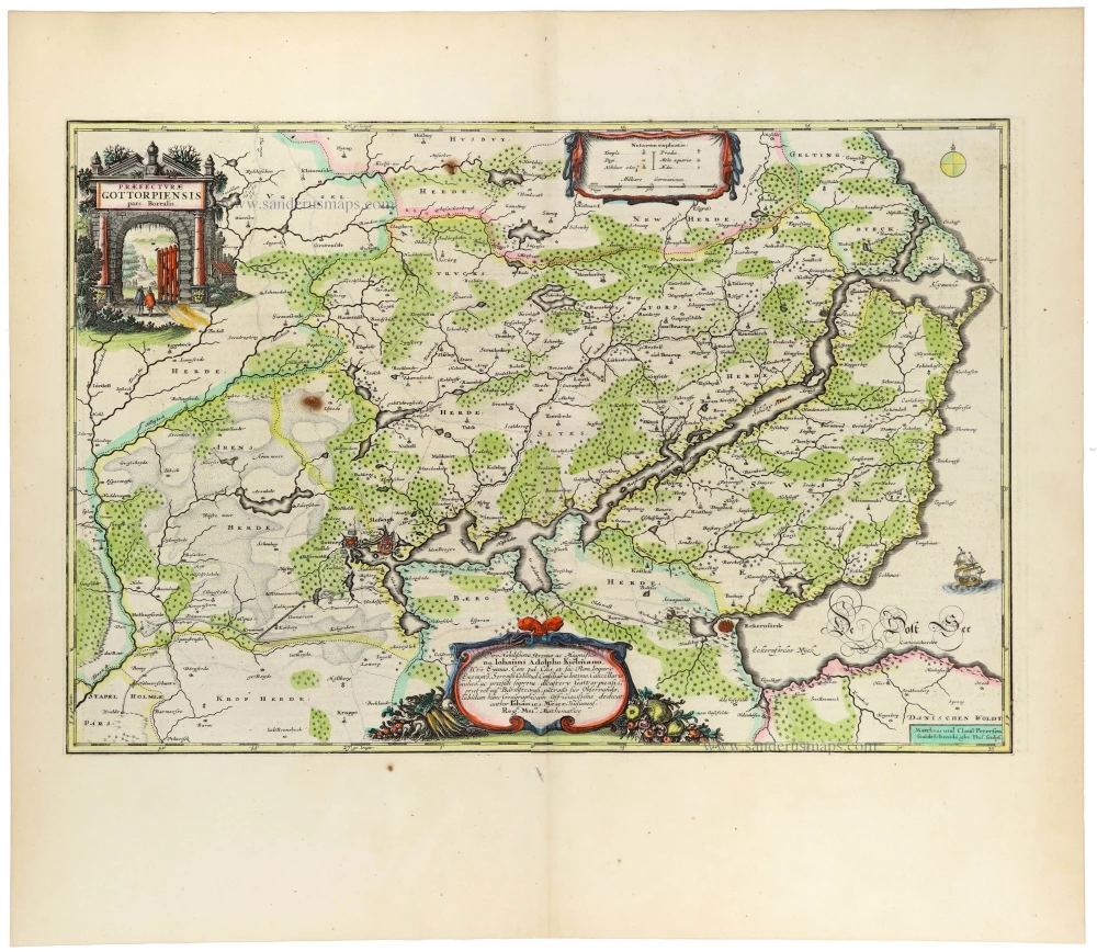
Praefecturae Gottorpiensis Pars Borealis. 1662
Gottorp (North) by Johannes Meyer, published by Joan Blaeu.
[Item number: 33399]
new
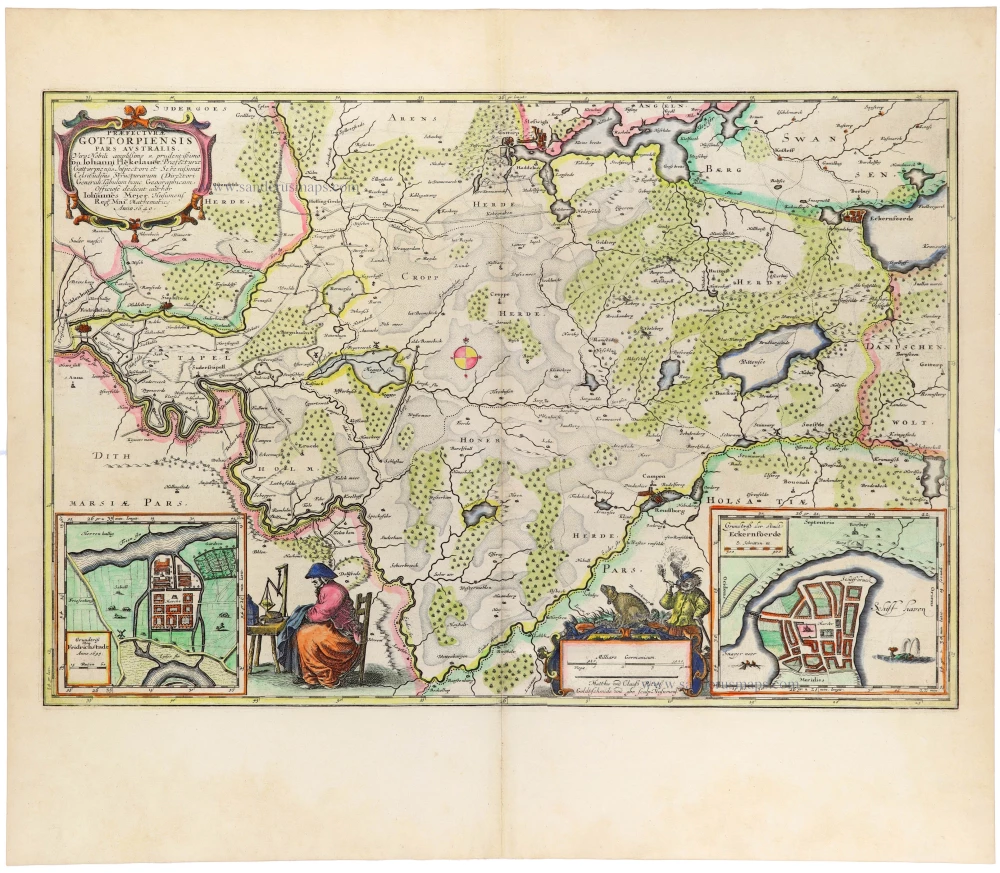
Praefecturae Gottorpiensis Pars Australis. 1662
Gottorp (South) by Johannes Meyer, published by Joan Blaeu.
[Item number: 33400]
new
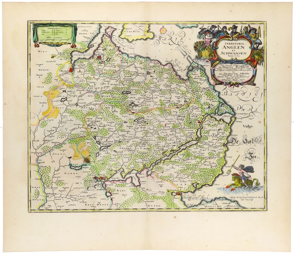
Territoria Anglen et Schwansen. 1662
Angeln and Schwansen, Schleswig-Holstein, by Johannes Meyer, published by Joan Blaeu.
[Item number: 33404]
new
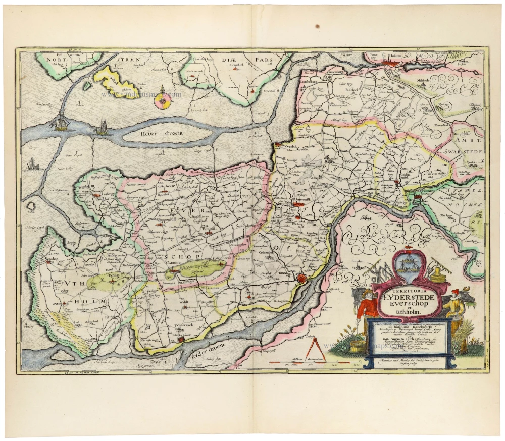
Territoria Eyderstede Everschop et Uthholm Matthias und Nicolaus Pet. 1662
Eiderstedt, Evershop, and Utholm, Schleswig-Holstein, by Johannes Meyer, published by Joan Blaeu.
[Item number: 33405]
new
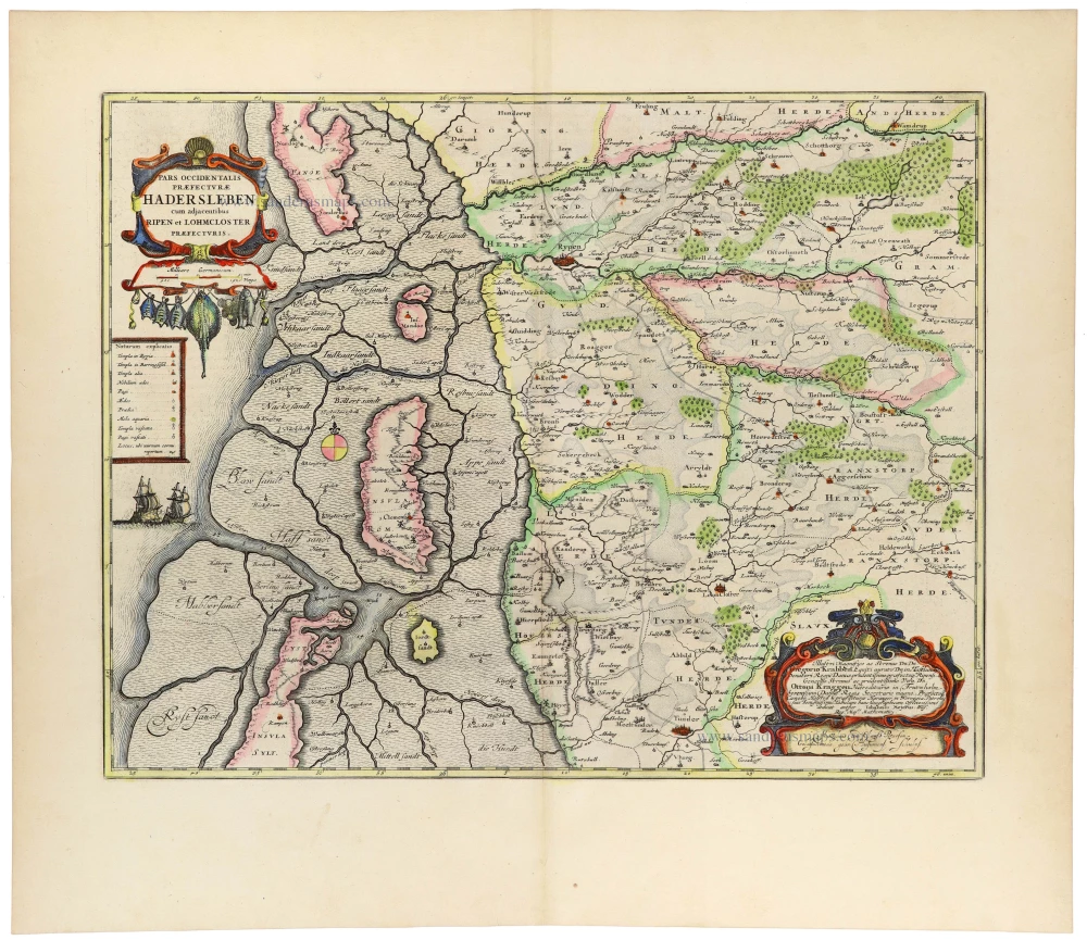
Pars Occidentalis Praefecturae Hadersleben cum adjacentibus Ripen et Lohmcloster Praefecturis. 1662
Haderslev (West), Denmark, by Johannes Meyer, published by Joan Blaeu.
[Item number: 33406]
new
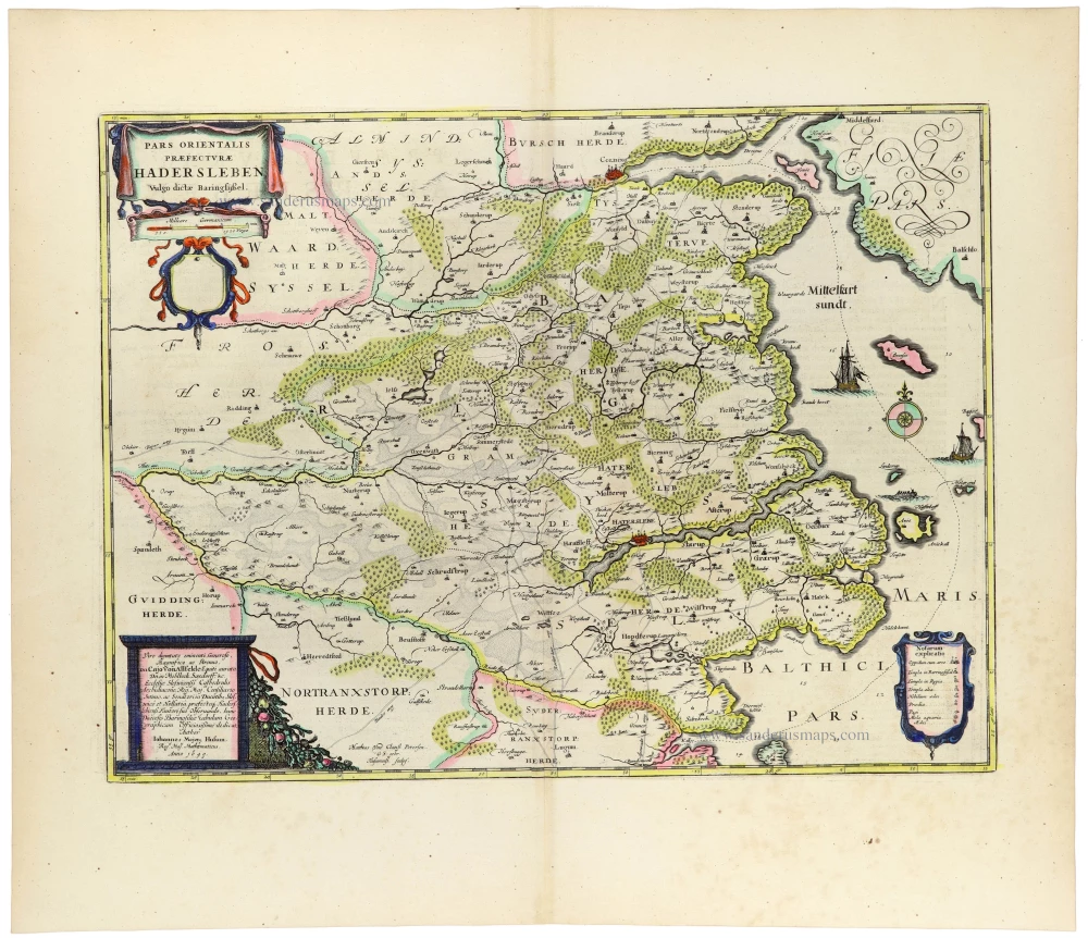
Pars Orientalis Praefecturae Hadersleben Vulgo dictae Baringsijssel. 1662
Haderslev (East), Denmark, by Johannes Meyer, published by Joan Blaeu.
[Item number: 33407]
new
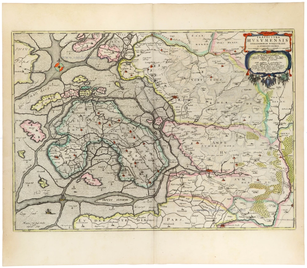
Praefectura Husumensis Lunderbergh Nordstrand et Nordgoesherde. 1662
Nordergosharde, Husum, Lundenberg, and Nordstrand (Schleswig-Holstein), by Johannes Meyer, published by Joan Blaeu.
[Item number: 33408]
new