
Crete - Heraklion (Irákleio) & Corfu (Kérkyra), by Georg Braun and Frans Hogenberg. 1575-1612

CRETE - HERAKLION (IRÁKLEIO)
COMMENTARY BY BRAUN: "Candia is the name of the capital after which the island is also named. Acting like a wall, the surrounding mountains fortify the town, it has a harbour, protected naturally and by human hands so that ships can dock safe from the ravages of the sea, with a strong and sturdy tower from which the harbour, with all its commodities, can be protected from enemy attack."
The plate depicts the town of Heraklion, on the north coast of Crete, from the sea. The town was settled as early as the Bronze Age by the Minoans, one of the earliest advanced civilizations in Europe. From c. 1100 BC, the Dorians lived here; they named their settlement Herakleia because, according to mythology, Heracles captured the Cretan Bull here. Following Byzantine rule (395-1204) Crete became, in the 13th century, part of the Republic of Venice, when the name was Italianized to "Candia", which was used to designate the entire island. In 1239 the Venetians erected St Mark's basilica, the Agios Markos (centre), and the archdiocese. Ottoman attacks in the 15th and 16th centuries led to the construction of the formidable 5.5-km-long city wall and to a fortress in the harbour.
CORFU (KÉRKYRA)
COMMENTARY BY BRAUN: "This town lies on the island of Corfu, in a range of mountains that jut into the Ionian Sea. At the highest point of these mountains lies a castle called the New Castle, and on a lower point, one called the Old Castle. Both have well-fortified walls and are covered with mighty battlements and bastions."
The bird's-eye view from the east depicts the town of Corfu with the island, seen in the foreground, where both the New and Old Castle are located. Corfu was founded around 590 BC with the erection of the Artemis Temple. According to Homer, Odysseus was stranded here and taken in by the emperor's daughter Nausikaa. From 229 BC, Corfu belonged to the Roman Empire, and from AD 395 to the Byzantine Empire. The Old Castle was built in the 6th century; in the 16th century, it was extended with the structure titled here Castell Novo. (Taschen)
Braun G. & Hogenberg F. and the Civitates Orbis Terrarum.
The Civitates Orbis Terrarum, also known as the 'Braun & Hogenberg', is a six-volume town atlas and the most excellent book of town views and plans ever published: 363 engravings, sometimes beautifully coloured. It was one of the best-selling works in the last quarter of the 16th century. Georg Braun, a skilled writer, wrote the text accompanying the plans and views on the verso. Many plates were engraved after the original drawings of a professional artist, Joris Hoefnagel (1542-1600). The first volume was published in Latin in 1572 and the sixth in 1617. Frans Hogenberg, a talented engraver, created the tables for volumes I through IV, and Simon van den Neuwel made those for volumes V and VI. Other contributors were cartographers Daniel Freese and Heinrich Rantzau, who provided valuable geographical information. Works by Jacob van Deventer, Sebastian Münster, and Johannes Stumpf were also used as references. Translations appeared in German and French, making the atlas accessible to a broader audience.
Since its original publication of volume 1 in 1572, the Civitates Orbis Terrarum has left an indelible mark on the history of cartography. Seven more editions followed the first volume in 1575, 1577, 1582, 1588, 1593, 1599, and 1612. Vol.2, initially released in 1575, saw subsequent editions in 1597 and 1612. The subsequent volumes, each a treasure trove of historical insights, graced the world in 1581, 1588, 1593, 1599, and 1606. The German translation of the first volume, a testament to its widespread appeal, debuted in 1574, followed by the French edition in 1575.
Several printers were involved: Theodor Graminaeus, Heinrich von Aich, Gottfried von Kempen, Johannis Sinniger, Bertram Buchholtz, and Peter von Brachel, all of whom worked in Cologne.
Georg Braun (1541-1622)
Georg Braun, the author of the text accompanying the plans and views in the Civitates Orbis Terrarum, was born in Cologne in 1541. After his studies in Cologne, he entered the Jesuit Order as a novice, indicating his commitment to learning and intellectual pursuits. In 1561, he obtained his bachelor's degree; in 1562, he received his Magister Artium, further demonstrating his academic achievements. Although he left the Jesuit Order, he continued his studies in theology, gaining a licentiate in theology. His theological background likely influenced the content and tone of the text in the Civitates Orbis Terrarum, adding a unique perspective to the work.
Frans Hogenberg (1535-1590)
Frans Hogenberg was a Flemish and German painter, engraver, and mapmaker. He was born in Mechelen as the son of Nicolaas Hogenberg.
By the end of the 1560s, Frans Hogenberg was employed upon Abraham Ortelius's Theatrum Orbis Terrarum, published in 1570; he is named an engraver of numerous maps. In 1568, he was banned from Antwerp by the Duke of Alva and travelled to London, where he stayed a few years before emigrating to Cologne. He immediately embarked on his two most important works, the Civitates, published in 1572 and the Geschichtsblätter, which appeared in several series from 1569 until about 1587.
Thanks to large-scale projects like the Geschichtsblätter and the Civitates, Hogenberg's social circumstances improved with each passing year. He died as a wealthy man in Cologne in 1590.
Candia [on sheet with] La Cita de Corphu
Item Number: 24007 Authenticity Guarantee
Category: Antique maps > Europe > Greece & Greek Islands
Old, antique bird’s-eye view plan of Crete - Heraklion (Irákleio) & Corfu (Kérkyra), by Georg Braun and Frans Hogenberg.
Title: Candia [on sheet with] La Cita de Corphu0
Date: 1575-1612.
Copper engraving, printed on paper.
Size (not including margins): 370 x 490mm (14.57 x 19.29 inches).
Verso: Latin text.
Condition: Uncoloured, excellent.
Condition Rating: A+.
From: Civitates Orbis Terrarum, ... Part 2. Köln, 1575-1612.
CRETE - HERAKLION (IRÁKLEIO)
COMMENTARY BY BRAUN: "Candia is the name of the capital after which the island is also named. Acting like a wall, the surrounding mountains fortify the town, it has a harbour, protected naturally and by human hands so that ships can dock safe from the ravages of the sea, with a strong and sturdy tower from which the harbour, with all its commodities, can be protected from enemy attack."
The plate depicts the town of Heraklion, on the north coast of Crete, from the sea. The town was settled as early as the Bronze Age by the Minoans, one of the earliest advanced civilizations in Europe. From c. 1100 BC, the Dorians lived here; they named their settlement Herakleia because, according to mythology, Heracles captured the Cretan Bull here. Following Byzantine rule (395-1204) Crete became, in the 13th century, part of the Republic of Venice, when the name was Italianized to "Candia", which was used to designate the entire island. In 1239 the Venetians erected St Mark's basilica, the Agios Markos (centre), and the archdiocese. Ottoman attacks in the 15th and 16th centuries led to the construction of the formidable 5.5-km-long city wall and to a fortress in the harbour.
CORFU (KÉRKYRA)
COMMENTARY BY BRAUN: "This town lies on the island of Corfu, in a range of mountains that jut into the Ionian Sea. At the highest point of these mountains lies a castle called the New Castle, and on a lower point, one called the Old Castle. Both have well-fortified walls and are covered with mighty battlements and bastions."
The bird's-eye view from the east depicts the town of Corfu with the island, seen in the foreground, where both the New and Old Castle are located. Corfu was founded around 590 BC with the erection of the Artemis Temple. According to Homer, Odysseus was stranded here and taken in by the emperor's daughter Nausikaa. From 229 BC, Corfu belonged to the Roman Empire, and from AD 395 to the Byzantine Empire. The Old Castle was built in the 6th century; in the 16th century, it was extended with the structure titled here Castell Novo. (Taschen)
Braun G. & Hogenberg F. and the Civitates Orbis Terrarum.
The Civitates Orbis Terrarum, also known as the 'Braun & Hogenberg', is a six-volume town atlas and the most excellent book of town views and plans ever published: 363 engravings, sometimes beautifully coloured. It was one of the best-selling works in the last quarter of the 16th century. Georg Braun, a skilled writer, wrote the text accompanying the plans and views on the verso. Many plates were engraved after the original drawings of a professional artist, Joris Hoefnagel (1542-1600). The first volume was published in Latin in 1572 and the sixth in 1617. Frans Hogenberg, a talented engraver, created the tables for volumes I through IV, and Simon van den Neuwel made those for volumes V and VI. Other contributors were cartographers Daniel Freese and Heinrich Rantzau, who provided valuable geographical information. Works by Jacob van Deventer, Sebastian Münster, and Johannes Stumpf were also used as references. Translations appeared in German and French, making the atlas accessible to a broader audience.
Since its original publication of volume 1 in 1572, the Civitates Orbis Terrarum has left an indelible mark on the history of cartography. Seven more editions followed the first volume in 1575, 1577, 1582, 1588, 1593, 1599, and 1612. Vol.2, initially released in 1575, saw subsequent editions in 1597 and 1612. The subsequent volumes, each a treasure trove of historical insights, graced the world in 1581, 1588, 1593, 1599, and 1606. The German translation of the first volume, a testament to its widespread appeal, debuted in 1574, followed by the French edition in 1575.
Several printers were involved: Theodor Graminaeus, Heinrich von Aich, Gottfried von Kempen, Johannis Sinniger, Bertram Buchholtz, and Peter von Brachel, all of whom worked in Cologne.
Georg Braun (1541-1622)
Georg Braun, the author of the text accompanying the plans and views in the Civitates Orbis Terrarum, was born in Cologne in 1541. After his studies in Cologne, he entered the Jesuit Order as a novice, indicating his commitment to learning and intellectual pursuits. In 1561, he obtained his bachelor's degree; in 1562, he received his Magister Artium, further demonstrating his academic achievements. Although he left the Jesuit Order, he continued his studies in theology, gaining a licentiate in theology. His theological background likely influenced the content and tone of the text in the Civitates Orbis Terrarum, adding a unique perspective to the work.
Frans Hogenberg (1535-1590)
Frans Hogenberg was a Flemish and German painter, engraver, and mapmaker. He was born in Mechelen as the son of Nicolaas Hogenberg.
By the end of the 1560s, Frans Hogenberg was employed upon Abraham Ortelius's Theatrum Orbis Terrarum, published in 1570; he is named an engraver of numerous maps. In 1568, he was banned from Antwerp by the Duke of Alva and travelled to London, where he stayed a few years before emigrating to Cologne. He immediately embarked on his two most important works, the Civitates, published in 1572 and the Geschichtsblätter, which appeared in several series from 1569 until about 1587.
Thanks to large-scale projects like the Geschichtsblätter and the Civitates, Hogenberg's social circumstances improved with each passing year. He died as a wealthy man in Cologne in 1590.
Related items

Cyprus Insula - Candia, olim Creta. 1572
Cyprus - Crete, by A. Ortelius.
[Item number: 16585]

Candia [on sheet with:] Corphu. 1638
Crete - Corfu, by Matthäus Merian.
[Item number: 27982]

Tabula nova Candiae. 1541
Crete, by Lorenz Fries
[Item number: 28127]

Creta Insula Olerumq: Deum Natalibus, Iovis Incunabulis, Sepulchroq: Inclyta: ... 1676
Crete by Guillaume Sanson.
[Item number: 28522]

Candia - [Above map :] Descrittione del l'Isola di Candia. 1590
Crete by Thomasso Porcacchi.
[Item number: 29838]

Corfu - [Above map :] Descrittione del l'Isola di Corfu. 1590
Corfu by Thomasso Porcacchi.
[Item number: 29845]

Candia [on sheet with] La Cita de Corphu. 1657
Crete (Iraklion) & Corfu, by Georg Braun and Frans Hogenberg, published by J. Janssonius.
[Item number: 31080]
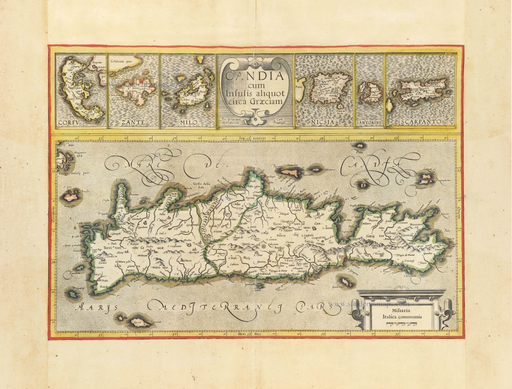
Candia cum insulis aliquot circa Graeciam. c. 1610-1650
Crete and Mediterranean Islands, by Gerard Mercator.
[Item number: 31324]

Retimo in Candia. c. 1690
Rethymno (Crete) by J. Peeters, published by Gaspar Huberti.
[Item number: 31366]

Porta Suda Paleo in Candia. c. 1690
Souda (Crete) by J. Peeters.
[Item number: 31367]

Canea in Candia. c. 1690
Chania (Crete) by J. Peeters.
[Item number: 31377]

La Citta di Candia. c. 1690
Irakleio (Crete) by J. Peeters.
[Item number: 31378]

Candia 1618
Crete by Petrus Bertius, published by Jodocus Hondius II.
[Item number: 31848]

Corfu. 1618
Kerkyra (Corfu) by Petrus Bertius, published by Jodocus Hondius II.
[Item number: 31853]