
Bird's eye view plan of Rome by Zacharias Châtelain. 1713

The Châtelain Family
Zacharias Châtelain (1684-1743) was a bookseller and publisher of Amsterdam. He was succeeded by his sons Zacharias jr and Henry Abraham. The Châtelain family was best known for the historical atlas Atlas Historique, ou nouvelle introduction à l’histoire…, a major work of its time. It was an encyclopaedia in seven volumes, including geography as one of its main subjects. The atlas was published in Amsterdam in seven volumes in various editions with different imprints from 1705 to 1739. An anonym person (Mr. C***) compiled the work with compositions of text, maps, plates and chronological and genealogical tables by Gueudeville, except volume 7, where H.P. Limiers took over this task. The maps were made mainly after the work of Guillaume de l'Isle.
The 1705 edition was published with the imprint “L’Honoré & Châtelain”. Later editions had the imprint: “les Frères Châtelain Libraires” or “L’Honoré & Châtelain Libraires”.
Nouveau Pland de la Ville de Rome tiré par ordre du Pape par Matteo Gregoria de Romans tres utille pour les voiageurs.
Item Number: 29640 Authenticity Guarantee
Category: Antique maps > Europe > Italy - Cities
Old, antique bird's eye view plan of Rome by Zacharias Châtelain.
Title: Nouveau Pland de la Ville de Rome tiré par ordre du Pape par Matteo Gregoria de Romans tres utille pour les voiageurs.
Date of the first edition: 1705.
Date of this map: 1713.
Copper engraving, printed on paper.
Map size, including text: 335 x 430mm (13.19 x 16.93 inches).
Sheet size: 440 x 540mm (17.32 x 21.26 inches).
Verso: Blank.
Condition: Excellent.
Condition Rating: A+.
From: Châtelain Z. Atlas Historique, ou Nouvelle Introduction A l'Histoire, à la Chronologie & à la Geographie Ancienne & Moderne; ... Tome Premier. Conténant la Gréce, l'Histoire Romaine, Rome Moderne, Naples, la France, l'Espagne, & les Provinces Unies.A Amsterdam, Chez L'Honoré & Châtelain, M.DCC.XIII. (1713). (Koeman II, p. 35, Cha2)
The Châtelain Family
Zacharias Châtelain (1684-1743) was a bookseller and publisher of Amsterdam. He was succeeded by his sons Zacharias jr and Henry Abraham. The Châtelain family was best known for the historical atlas Atlas Historique, ou nouvelle introduction à l’histoire…, a major work of its time. It was an encyclopaedia in seven volumes, including geography as one of its main subjects. The atlas was published in Amsterdam in seven volumes in various editions with different imprints from 1705 to 1739. An anonym person (Mr. C***) compiled the work with compositions of text, maps, plates and chronological and genealogical tables by Gueudeville, except volume 7, where H.P. Limiers took over this task. The maps were made mainly after the work of Guillaume de l'Isle.
The 1705 edition was published with the imprint “L’Honoré & Châtelain”. Later editions had the imprint: “les Frères Châtelain Libraires” or “L’Honoré & Châtelain Libraires”.
Related items

Urbis Romae Veteris ac Modernae Accurata Delineatio ... 1716-37
Rome (Roma), by J.B. Homann.
[Item number: 1856]
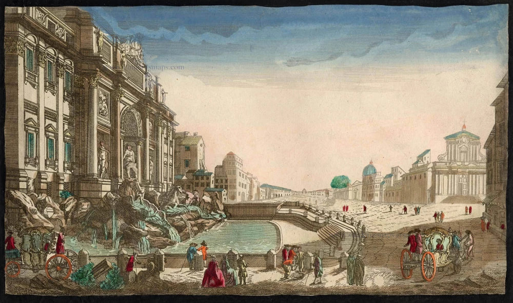
Trevi Fountain
La Fontaine de Trevi à Rome Ca. 1780
Rome - Optica
[Item number: 8158]

Urbis Romae Situs cum ils quae adhuc Conspiciuntur Veter. Monumet Reliquiis Pyrrho Ligorio Neap. Invent. Romae M.D.LXX 1623
Ancient Rome by Braun and Hogenberg.
[Item number: 22409]

Roma. 1599
Rome by Braun and Hogenberg.
[Item number: 23941]

Roma. 1658/60
Rome (Roma), by P.H. Schut.
[Item number: 26626]

Veduta di Piazza Navona Sopra le rovine del Circo Agonale. c. 1780
Rome (Roma), Piazza Navona after Piranesi, published in Paris by the Jean family.
[Item number: 28893]

Veduta della Dogana di Terra a Piazza di Pietra. c. 1780
Rome (Roma), Piazza di Pietra, after Piranesi, published in Paris by the Jean family.
[Item number: 28903]

St. Pierre du Vatican A Rome. c. 1780
St. Peter Vatican by Aveline (Rome), published in Paris by the Jean family
[Item number: 28941]

La situation de la ville de Rome, comme elle est ceste annee 1549. 1568
Rome, by Sebastian Münster.
[Item number: 30595]

Roma. c. 1610
Rome by Georg Braun & Frans Hogenberg
[Item number: 30631]

'Incunable' view
Roma. 1493
Rome by Hartmann Schedel.
[Item number: 31802]

Urbis Romae Situs cum ils quae adhuc Conspiciuntur Veter. Monumet Reliquiis Pyrrho Ligorio Neap. Invent. Romae M.D.LXX 1576
Rome (Roma) by Braun & Hogenberg
[Item number: 31916]