
Vicenza, by Georg Braun and Frans Hogenberg. 1588
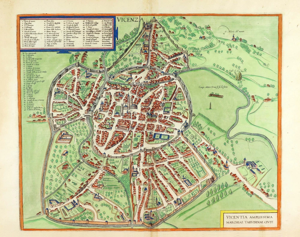
CARTOUCHE: Very rich Vicenza, a city in the province of Tarvisium (Treviso).
COMMENTARY BY BRAUN: "The city itself is wonderful and adorned by stately buildings, of which the town hall on the market square and the Dominican convent of the Friars Minor are the most elegant and the most handsome. A thorn from the Crown of Thorn worn by Christ our Saviour can be seen in the priory church, which Bartholomew Vicentius, bishop of this city and a Dominican friar from France, brought with him since it had been given to him by St Louis, king of France. This thorn is the relic most venerated by Vincentines and is carried about in the city yearly with the greatest reverence. There is also a noble library in the monastery mentioned above."
The city is seen from the north in a bird's-eye view. At the centre is the Piazza dei Signori, with the nearly 80-m-high Torre di Piazza. To the right is the Basilica Palladiana, originally a Gothic palace (Palazzo della Ragione), of which little remains since it underwent extensive renovation in magnificent Renaissance style in the 16th century, as did the adjacent buildings. The detailed depiction of the buildings and the rather sketchy street map are deceptive and do not do justice to the size and magnificence of this densely built city. Initially founded by the Euganei, Vicenza became Roman in 177 BC. In 1404 the town passed to Venice, as indicated by the winged lion on the left-hand edge of the main square. Many of the earlier buildings were either remodelled or rebuilt by Andrea Palladio in the second half of the 16th century, including the superb Piazza dei Signori complex. (Taschen)
Braun G. & Hogenberg F. and the Civitates Orbis Terrarum.
The Civitates Orbis Terrarum, also known as the 'Braun & Hogenberg', is a six-volume town atlas and the most excellent book of town views and plans ever published: 363 engravings, sometimes beautifully coloured. It was one of the best-selling works in the last quarter of the 16th century. Georg Braun, a skilled writer, wrote the text accompanying the plans and views on the verso. Many plates were engraved after the original drawings of a professional artist, Joris Hoefnagel (1542-1600). The first volume was published in Latin in 1572 and the sixth in 1617. Frans Hogenberg, a talented engraver, created the tables for volumes I through IV, and Simon van den Neuwel made those for volumes V and VI. Other contributors were cartographers Daniel Freese and Heinrich Rantzau, who provided valuable geographical information. Works by Jacob van Deventer, Sebastian Münster, and Johannes Stumpf were also used as references. Translations appeared in German and French, making the atlas accessible to a broader audience.
Since its original publication of volume 1 in 1572, the Civitates Orbis Terrarum has left an indelible mark on the history of cartography. Seven more editions followed the first volume in 1575, 1577, 1582, 1588, 1593, 1599, and 1612. Vol.2, initially released in 1575, saw subsequent editions in 1597 and 1612. The subsequent volumes, each a treasure trove of historical insights, graced the world in 1581, 1588, 1593, 1599, and 1606. The German translation of the first volume, a testament to its widespread appeal, debuted in 1574, followed by the French edition in 1575.
Several printers were involved: Theodor Graminaeus, Heinrich von Aich, Gottfried von Kempen, Johannis Sinniger, Bertram Buchholtz, and Peter von Brachel, all of whom worked in Cologne.
Georg Braun (1541-1622)
Georg Braun, the author of the text accompanying the plans and views in the Civitates Orbis Terrarum, was born in Cologne in 1541. After his studies in Cologne, he entered the Jesuit Order as a novice, indicating his commitment to learning and intellectual pursuits. In 1561, he obtained his bachelor's degree; in 1562, he received his Magister Artium, further demonstrating his academic achievements. Although he left the Jesuit Order, he continued his studies in theology, gaining a licentiate in theology. His theological background likely influenced the content and tone of the text in the Civitates Orbis Terrarum, adding a unique perspective to the work.
Frans Hogenberg (1535-1590)
Frans Hogenberg was a Flemish and German painter, engraver, and mapmaker. He was born in Mechelen as the son of Nicolaas Hogenberg.
By the end of the 1560s, Frans Hogenberg was employed upon Abraham Ortelius's Theatrum Orbis Terrarum, published in 1570; he is named an engraver of numerous maps. In 1568, he was banned from Antwerp by the Duke of Alva and travelled to London, where he stayed a few years before emigrating to Cologne. He immediately embarked on his two most important works, the Civitates, published in 1572 and the Geschichtsblätter, which appeared in several series from 1569 until about 1587.
Thanks to large-scale projects like the Geschichtsblätter and the Civitates, Hogenberg's social circumstances improved with each passing year. He died as a wealthy man in Cologne in 1590.
Vicenza - Vicentia Amplissima Marchiae Tarvisinae Civit.
Item Number: 29160 Authenticity Guarantee
Category: Antique maps > Europe > Italy - Cities
Old, antique bird’s-eye view plan of Vicenza, by Georg Braun and Frans Hogenberg.
Title: Vicenza - Vicentia Amplissima Marchiae Tarvisinae Civit.
Date of the first edition: 1588.
Date of this map: 1588.
Copper engraving, printed on paper.
Map size: 360 x 435mm (14.17 x 17.13 inches).
Sheet size: 395 x 535mm (15.55 x 21.06 inches).
Verso: Latin text.
Condition: Original coloured, excellent.
Condition Rating: A+.
From: Liber Quartus Urbium Praecipuarum Totius Mundi. Cologne, 1588. (Koeman, B&H4, Van der Krogt 4, 41:1.4)
CARTOUCHE: Very rich Vicenza, a city in the province of Tarvisium (Treviso).
COMMENTARY BY BRAUN: "The city itself is wonderful and adorned by stately buildings, of which the town hall on the market square and the Dominican convent of the Friars Minor are the most elegant and the most handsome. A thorn from the Crown of Thorn worn by Christ our Saviour can be seen in the priory church, which Bartholomew Vicentius, bishop of this city and a Dominican friar from France, brought with him since it had been given to him by St Louis, king of France. This thorn is the relic most venerated by Vincentines and is carried about in the city yearly with the greatest reverence. There is also a noble library in the monastery mentioned above."
The city is seen from the north in a bird's-eye view. At the centre is the Piazza dei Signori, with the nearly 80-m-high Torre di Piazza. To the right is the Basilica Palladiana, originally a Gothic palace (Palazzo della Ragione), of which little remains since it underwent extensive renovation in magnificent Renaissance style in the 16th century, as did the adjacent buildings. The detailed depiction of the buildings and the rather sketchy street map are deceptive and do not do justice to the size and magnificence of this densely built city. Initially founded by the Euganei, Vicenza became Roman in 177 BC. In 1404 the town passed to Venice, as indicated by the winged lion on the left-hand edge of the main square. Many of the earlier buildings were either remodelled or rebuilt by Andrea Palladio in the second half of the 16th century, including the superb Piazza dei Signori complex. (Taschen)
Braun G. & Hogenberg F. and the Civitates Orbis Terrarum.
The Civitates Orbis Terrarum, also known as the 'Braun & Hogenberg', is a six-volume town atlas and the most excellent book of town views and plans ever published: 363 engravings, sometimes beautifully coloured. It was one of the best-selling works in the last quarter of the 16th century. Georg Braun, a skilled writer, wrote the text accompanying the plans and views on the verso. Many plates were engraved after the original drawings of a professional artist, Joris Hoefnagel (1542-1600). The first volume was published in Latin in 1572 and the sixth in 1617. Frans Hogenberg, a talented engraver, created the tables for volumes I through IV, and Simon van den Neuwel made those for volumes V and VI. Other contributors were cartographers Daniel Freese and Heinrich Rantzau, who provided valuable geographical information. Works by Jacob van Deventer, Sebastian Münster, and Johannes Stumpf were also used as references. Translations appeared in German and French, making the atlas accessible to a broader audience.
Since its original publication of volume 1 in 1572, the Civitates Orbis Terrarum has left an indelible mark on the history of cartography. Seven more editions followed the first volume in 1575, 1577, 1582, 1588, 1593, 1599, and 1612. Vol.2, initially released in 1575, saw subsequent editions in 1597 and 1612. The subsequent volumes, each a treasure trove of historical insights, graced the world in 1581, 1588, 1593, 1599, and 1606. The German translation of the first volume, a testament to its widespread appeal, debuted in 1574, followed by the French edition in 1575.
Several printers were involved: Theodor Graminaeus, Heinrich von Aich, Gottfried von Kempen, Johannis Sinniger, Bertram Buchholtz, and Peter von Brachel, all of whom worked in Cologne.
Georg Braun (1541-1622)
Georg Braun, the author of the text accompanying the plans and views in the Civitates Orbis Terrarum, was born in Cologne in 1541. After his studies in Cologne, he entered the Jesuit Order as a novice, indicating his commitment to learning and intellectual pursuits. In 1561, he obtained his bachelor's degree; in 1562, he received his Magister Artium, further demonstrating his academic achievements. Although he left the Jesuit Order, he continued his studies in theology, gaining a licentiate in theology. His theological background likely influenced the content and tone of the text in the Civitates Orbis Terrarum, adding a unique perspective to the work.
Frans Hogenberg (1535-1590)
Frans Hogenberg was a Flemish and German painter, engraver, and mapmaker. He was born in Mechelen as the son of Nicolaas Hogenberg.
By the end of the 1560s, Frans Hogenberg was employed upon Abraham Ortelius's Theatrum Orbis Terrarum, published in 1570; he is named an engraver of numerous maps. In 1568, he was banned from Antwerp by the Duke of Alva and travelled to London, where he stayed a few years before emigrating to Cologne. He immediately embarked on his two most important works, the Civitates, published in 1572 and the Geschichtsblätter, which appeared in several series from 1569 until about 1587.
Thanks to large-scale projects like the Geschichtsblätter and the Civitates, Hogenberg's social circumstances improved with each passing year. He died as a wealthy man in Cologne in 1590.
Related items
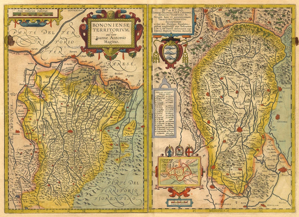
Bononiense Territorium [on sheet with] Territori Vicentini. 1612
Bologna and Vicenza by Ortelius A.
[Item number: 1034]

Carte Nouvelle du Territoire de Vicenza, ou sont Marquees Toutes les Vallees, Cols, Passages et Mines d'Argent 1721-41
Vicenza, by Covens & Mortier.
[Item number: 23555]
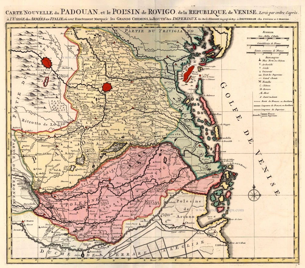
Carte Nouvelle du Padouan, et le Polesin de Rovigo, de la Pepublique de Venise 1721-41
Padova by Covens & Mortier.
[Item number: 23556]
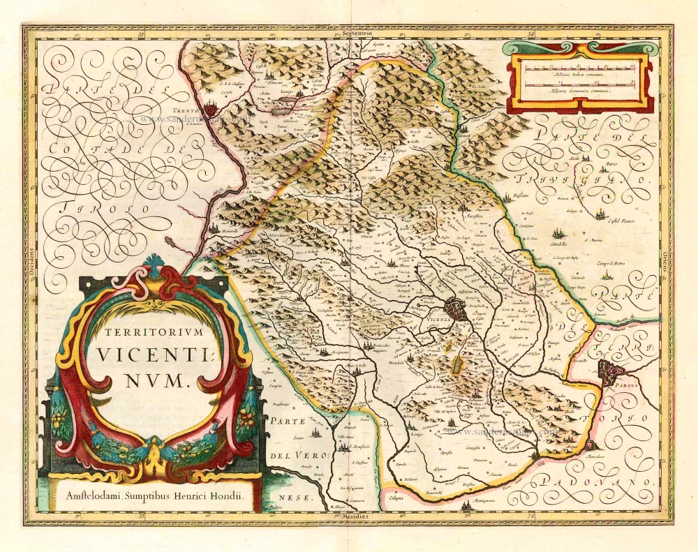
Territorium Vicentinum. 1641
Vicenza, by Henricus Hondius.
[Item number: 26372]
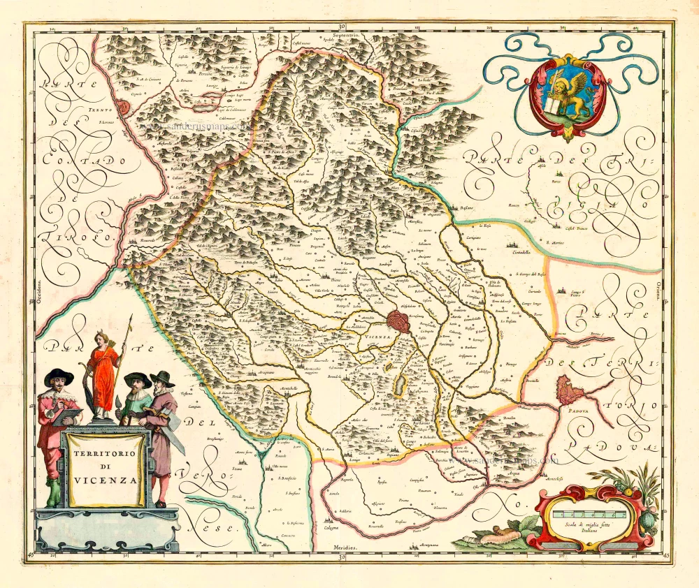
Territorio di Vicenza. 1640
Vicenza, by Joan Blaeu.
[Item number: 27221]
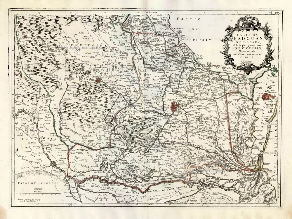
Carte du Padouan, du Dogado, et de la plus grande partie du Vincentin. Dressée sur celle du Sr. Paul Barthelemi Clarici. 1776-79
Vicenza, Padua and Venice, by Paolo Santini.
[Item number: 27717]
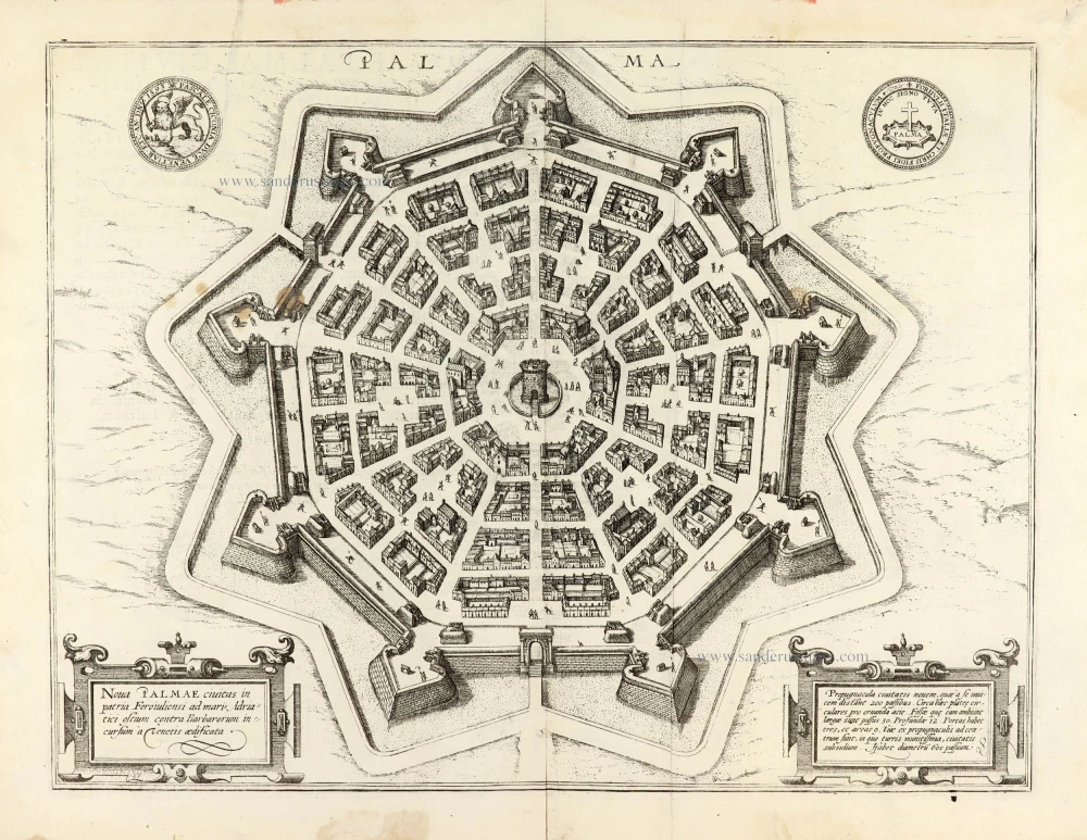
Nova Palmae civitas in patria Foroiuliensi ad maris Adriatici ostium contra Barbarorum incursum à Venetis aedificata. 1617
Palmanova by Georg Braun and Frans Hogenberg.
[Item number: 30092]