
Rare
Italy, by Willem Blaeu, published by Cornelis Danckerts. 1640


Scarce Italy map with decorative borders, by Willem Blaeu, published by Cornelis Danckerts.
The title appears at the upper right in an oval scrollwork cartouche flanked by two winged mermaids; the imprint is at the lower right, to the left of the view of Florence. A compass rose, a legend with the symbols and the bar scale decorated by a pair of compasses appear along the left part of the lower edge. Ships are depicted in the seas.
The map is decorated on three sides. The top border is composed almost entirely of a view of Rome; on both sides are smaller bird's-eye views of Venice and Genoa. In the two lower corners are bird's-eye views of Naples and Florence. In depicting the town views, the engraver used two different sources. The dominating view of Rome is based on a large, five-sheet panoramic view after a design by Hendrick van Cleef and polished in The Hague by Hendrik Hondius I in c. 1599-1605. The source of the four smaller town views is the first volume of Civitates Orbis Terrarum (1572) by Braun and Hogenberg.
Each side border contains four costumed figures. Hessel Gerritsz undoubtedly etched the borders and the other decorative elements.
The geographical content is based entirely on Gerard Mercator's 1589 of Italy, which from 1606 onward was included in the Amsterdam edition of Mercator's Atlas by Jodocus Hondius.
The Blaeus: Willem Janszoon, Cornelis & Joan
Willem Jansz. Blaeu and his son Joan Blaeu are the seventeenth century's most widely known cartographic publishers.
Willem Jansz. (also written Guilielmus Janssonius) = Willem Janszoon Blaeu was born in Uitgeest (Netherlands), near Alkmaar, in 1571. He studied mathematics under Tycho Brahe and learned the theory and practice of astronomical observations and the art of instrument- and globe-making.
In 1596, he came to Amsterdam, where he settled down as a globe-, instrument- and mapmaker. He published his first cartographic work (a globe) in 1599 and probably published his first printed map (a map of the Netherlands) in 1604. He specialised in maritime cartography, published the first edition of the pilot guide Het Licht der Zeevaert in 1608, and was appointed Hydrographer of the V.O.C. (United East India Company) in 1633. After publishing books, wall maps, globes, charts and pilot guides for thirty years, he brought out his first atlas, Atlas Appendix (1630). This was the beginning of the great tradition of atlas-making by the Blaeus.
In 1618, another mapmaker, bookseller and publisher, Johannes Janssonius, established himself in Amsterdam next door to Blaeu's shop. No wonder these two neighbours began accusing each other of copying and stealing their information and became fierce competitors who did not have a good word to say about each other. In about 1621 Willem Jansz. decided to end the confusion between his name and his competitor's and assumed his grandfather's nickname, 'blauwe Willem' ('blue Willem'), as the family name; after that, he called himself Willem Jansz. Blaeu.
Willem Janszoon Blaeu died in 1638, leaving his prospering business to his sons, Cornelis and Joan. We only know that Cornelis's name occurs in the prefaces of books and atlases until c. 1645.
Joan Blaeu, born in Amsterdam in 1596, became a partner in his father's book trade and printing business. 1638, he was appointed his father's successor in the Hydrographic Office of the V.O.C. His efforts culminated in the magnificent Atlas Major and the town books of the Netherlands and Italy – works unsurpassed in history and modern times, giving eternal fame to the name of the Blaeu's.
A fire ruined the business on February 23, 1672, and one year later, Dr. Joan Blaeu died. The fire and the director's passing caused the complete sale of the Blaeu House's stock. Five public auctions dispersed the remaining books, atlases, copperplates, globes, etc., among many other map dealers and publishers in Amsterdam. The majority was acquired by several booksellers acting in partnership.
In the succeeding years, the remaining printing department remained in the hands of the Blaeu family until 1695, when the printing house's inventory was sold at a public auction. That meant the end of the Blaeu family as a printing house of world renown.
The Danckerts Family.
The Danckerts family of Amsterdam was one of the best-known print and map sellers in 17th century Amsterdam. Their business activity covered a vast period, from ca. 1633. From 1669 until 1701, father Justus and his sons had their shop in the ‘Calverstraet in de Danckbaerheyt’.
Cornelis Danckerts (1561-1631) was a printseller born in Amsterdam and active in Antwerp.
Cornelis Danckerts, the elder (1603-1656) was an engraver and publisher in Amsterdam and Nieuwendijk. Son of Cornelis (above), whom he succeeded in 1631.
The house of Danckerts gained its greatest fame from Justus Danckerts (1635-1701 - son of Cornelis the elder) and his two sons, Theodorus and Cornelis. Dancker Danckerts (1634-1666), the elder brother of Justus, was known for his etchings of paintings, maps, and publications.
The grandfather, father, and sons were highly skilled and excellent artistic drafters and engravers. They are famous for the edition of their Atlas, which appeared from ca. 1686, and for several monumental and beautiful wall maps and views. However, compared with that published by the Blaeu's or Janssonius's, their cartographic work has attracted little attention and has never received proper recognition.
On 14 August 1684, Justus and his sons obtained the privilege from the States of Holland for their publications. In 1713, twelve years after Justus Danckerts, the heirs decided to sell part of the stock of maps and atlases and many copperplates. In 1727, after the death of the last surviving brother Theodorus, a final sale took place.
Italiae, Sardiniae, Corsicae, et confinium Regionum nova Tabula, effigies praecipuarum Urbiu[m] et habituum inibi simul complectens.
Item Number: 29405 Authenticity Guarantee
Category: Antique maps > Europe > Italy
Old, antique map of Italy, by Willem Blaeu, published by Cornelis Danckerts.
Title: Italiae, Sardiniae, Corsicae, et confinium Regionum nova Tabula, effigies praecipuarum Urbiu[m] et habituum inibi simul complectens.
Amstelodami Aput Cornelis Dankerts. 1640.
Cartographer: Willem Blaeu after Gerard Mercator.
Date of the first edition: 1606.
Date of this map: 1640.
Date on map: 1640.
Copper engraving, printed on paper.
Map size: 410 x 565mm (16.14 x 22.24 inches).
Sheet size: 433 x 565mm (17.05 x 22.24 inches).
Verso: Blank.
Condition: Original coloured, side margins trimmed, short top margin.
Condition Rating: A
Separate publication.
The third state of Willem Blaeu's scarce "Carte à figures" map of Italy, published by Cornelis Danckerts.
Dancker Danckerts published a fourth state in 1661.
Scarce Italy map with decorative borders, by Willem Blaeu, published by Cornelis Danckerts.
The title appears at the upper right in an oval scrollwork cartouche flanked by two winged mermaids; the imprint is at the lower right, to the left of the view of Florence. A compass rose, a legend with the symbols and the bar scale decorated by a pair of compasses appear along the left part of the lower edge. Ships are depicted in the seas.
The map is decorated on three sides. The top border is composed almost entirely of a view of Rome; on both sides are smaller bird's-eye views of Venice and Genoa. In the two lower corners are bird's-eye views of Naples and Florence. In depicting the town views, the engraver used two different sources. The dominating view of Rome is based on a large, five-sheet panoramic view after a design by Hendrick van Cleef and polished in The Hague by Hendrik Hondius I in c. 1599-1605. The source of the four smaller town views is the first volume of Civitates Orbis Terrarum (1572) by Braun and Hogenberg.
Each side border contains four costumed figures. Hessel Gerritsz undoubtedly etched the borders and the other decorative elements.
The geographical content is based entirely on Gerard Mercator's 1589 of Italy, which from 1606 onward was included in the Amsterdam edition of Mercator's Atlas by Jodocus Hondius.
The Blaeus: Willem Janszoon, Cornelis & Joan
Willem Jansz. Blaeu and his son Joan Blaeu are the seventeenth century's most widely known cartographic publishers.
Willem Jansz. (also written Guilielmus Janssonius) = Willem Janszoon Blaeu was born in Uitgeest (Netherlands), near Alkmaar, in 1571. He studied mathematics under Tycho Brahe and learned the theory and practice of astronomical observations and the art of instrument- and globe-making.
In 1596, he came to Amsterdam, where he settled down as a globe-, instrument- and mapmaker. He published his first cartographic work (a globe) in 1599 and probably published his first printed map (a map of the Netherlands) in 1604. He specialised in maritime cartography, published the first edition of the pilot guide Het Licht der Zeevaert in 1608, and was appointed Hydrographer of the V.O.C. (United East India Company) in 1633. After publishing books, wall maps, globes, charts and pilot guides for thirty years, he brought out his first atlas, Atlas Appendix (1630). This was the beginning of the great tradition of atlas-making by the Blaeus.
In 1618, another mapmaker, bookseller and publisher, Johannes Janssonius, established himself in Amsterdam next door to Blaeu's shop. No wonder these two neighbours began accusing each other of copying and stealing their information and became fierce competitors who did not have a good word to say about each other. In about 1621 Willem Jansz. decided to end the confusion between his name and his competitor's and assumed his grandfather's nickname, 'blauwe Willem' ('blue Willem'), as the family name; after that, he called himself Willem Jansz. Blaeu.
Willem Janszoon Blaeu died in 1638, leaving his prospering business to his sons, Cornelis and Joan. We only know that Cornelis's name occurs in the prefaces of books and atlases until c. 1645.
Joan Blaeu, born in Amsterdam in 1596, became a partner in his father's book trade and printing business. 1638, he was appointed his father's successor in the Hydrographic Office of the V.O.C. His efforts culminated in the magnificent Atlas Major and the town books of the Netherlands and Italy – works unsurpassed in history and modern times, giving eternal fame to the name of the Blaeu's.
A fire ruined the business on February 23, 1672, and one year later, Dr. Joan Blaeu died. The fire and the director's passing caused the complete sale of the Blaeu House's stock. Five public auctions dispersed the remaining books, atlases, copperplates, globes, etc., among many other map dealers and publishers in Amsterdam. The majority was acquired by several booksellers acting in partnership.
In the succeeding years, the remaining printing department remained in the hands of the Blaeu family until 1695, when the printing house's inventory was sold at a public auction. That meant the end of the Blaeu family as a printing house of world renown.
The Danckerts Family.
The Danckerts family of Amsterdam was one of the best-known print and map sellers in 17th century Amsterdam. Their business activity covered a vast period, from ca. 1633. From 1669 until 1701, father Justus and his sons had their shop in the ‘Calverstraet in de Danckbaerheyt’.
Cornelis Danckerts (1561-1631) was a printseller born in Amsterdam and active in Antwerp.
Cornelis Danckerts, the elder (1603-1656) was an engraver and publisher in Amsterdam and Nieuwendijk. Son of Cornelis (above), whom he succeeded in 1631.
The house of Danckerts gained its greatest fame from Justus Danckerts (1635-1701 - son of Cornelis the elder) and his two sons, Theodorus and Cornelis. Dancker Danckerts (1634-1666), the elder brother of Justus, was known for his etchings of paintings, maps, and publications.
The grandfather, father, and sons were highly skilled and excellent artistic drafters and engravers. They are famous for the edition of their Atlas, which appeared from ca. 1686, and for several monumental and beautiful wall maps and views. However, compared with that published by the Blaeu's or Janssonius's, their cartographic work has attracted little attention and has never received proper recognition.
On 14 August 1684, Justus and his sons obtained the privilege from the States of Holland for their publications. In 1713, twelve years after Justus Danckerts, the heirs decided to sell part of the stock of maps and atlases and many copperplates. In 1727, after the death of the last surviving brother Theodorus, a final sale took place.
Related items

Nouvelle Carte de L'Etat present de l'Italie pour parvenir par une Methode nouvelle, a la connoissance de la Geographie, et de l'Histoire; et tres utile pour les voiages. 1713
Map of Italy by Zacharias Châtelain.
[Item number: 29641]

Carte Generale de l'Italie et des Isles et Pays Circonvoisins. 1652
Italy by Nicolas Sanson.
[Item number: 29672]

Italia Antiqua Cum Insulis Sicilia Sardinia & Corsica. 1652
Ancient Italy (Italia) by Nicolas Sanson.
[Item number: 29692]
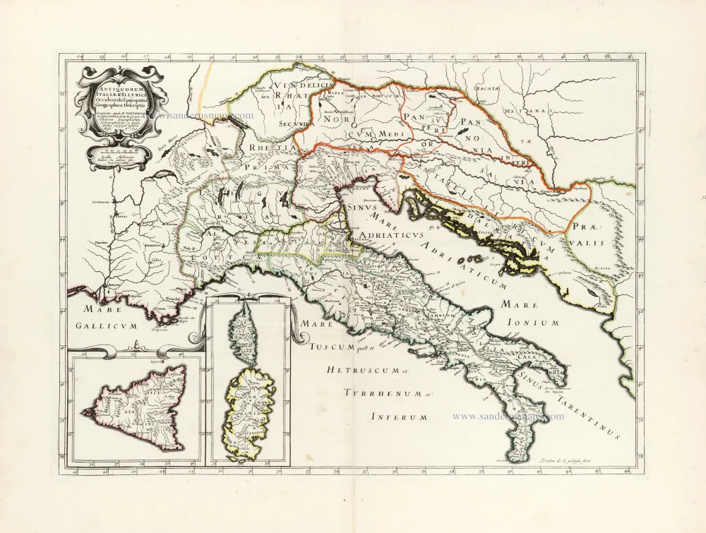
Antiquorum Italiae & Illyrici Occidentalis Episcopatuu Geographica descriptio. 1641 or later
Ancient Italy (Italia) & Dalmatia by Melchior Tavernier.
[Item number: 30035]

Tabula .VI. Euro. 1525
Ptolemy map of Italy by Lorenz Fries, after Martin Waldseemüller.
[Item number: 30370]

Italiae Novissima Descriptio Auctore Iacobo Castaldo Pedemontano. 1584
Italy by Abraham Ortelius.
[Item number: 30985]

Italien in seine unterschiedene Laender eingeteilet c. 1745.
Italy by J.G. Schreiber.
[Item number: 31106]

L'Italie distinguée suivant l'estendue de tous les Estats, Royaumes, Republiques, Duchés, Principautés qui la partagent presentement. 1692
Italy by N. Sanson, so-called published by Hubert Jaillot. (Pirated edition by Pierre Mortier).
[Item number: 31275]
Italia. 1618
Italy by Petrus Bertius, published by Jodocus Hondius II.
[Item number: 31645]
Scarce and decorative map
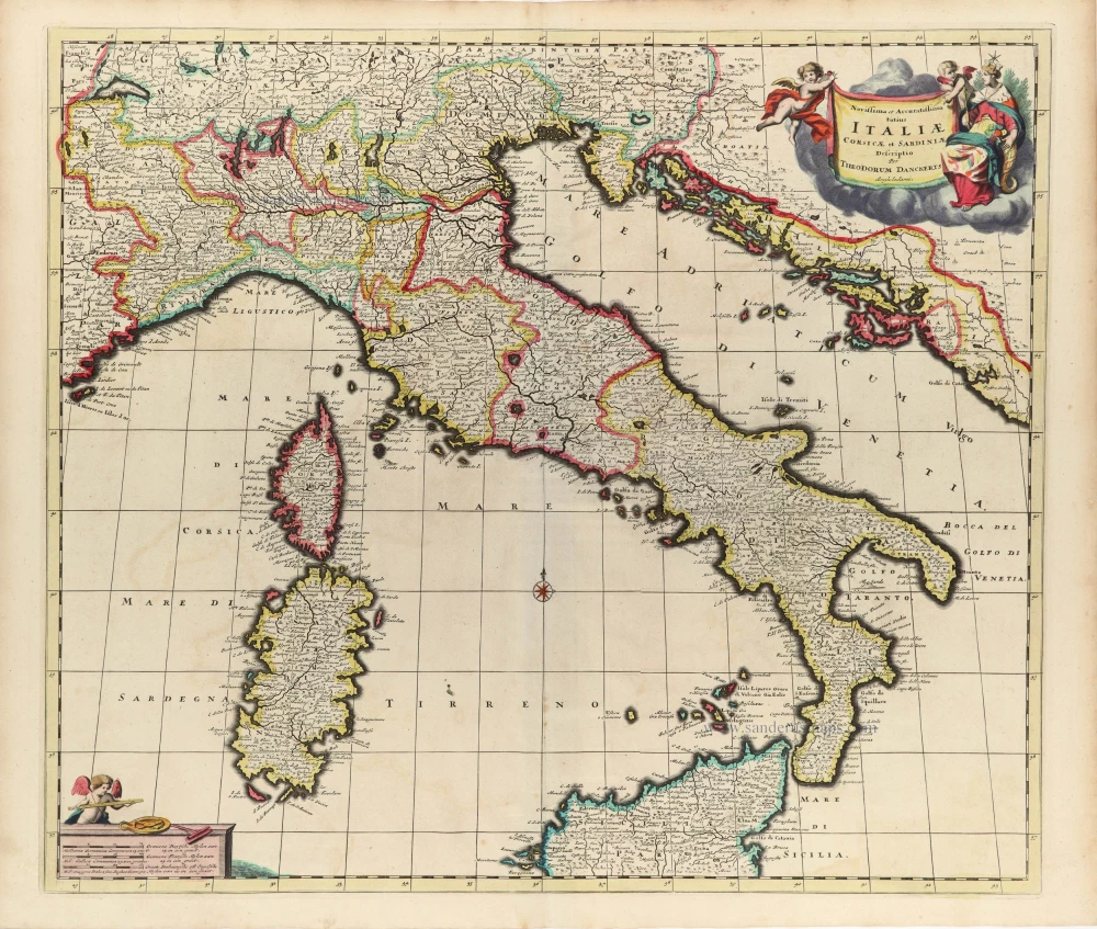
Novissima et Accuratissima totius Italiae Corsicae et Sardiniae. c. 1680
Italy by Theodore Danckerts.
[Item number: 32501]