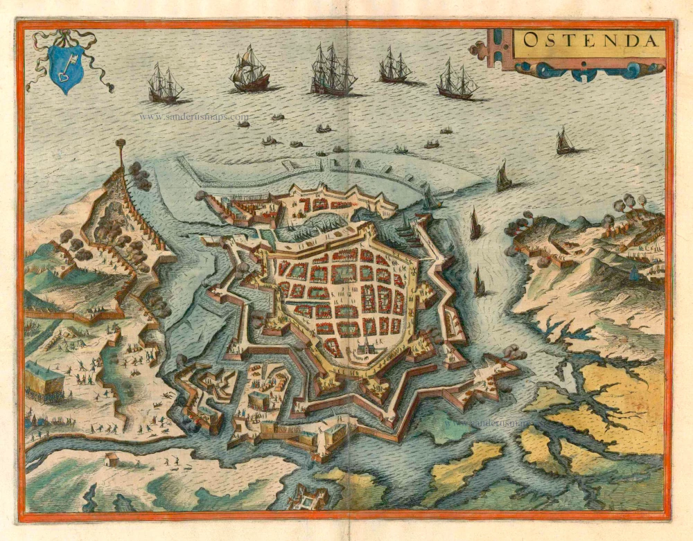
Antique map - bird's-eye plan of Ostend by Braun and Hogenberg c. 1625
Ostenda
Item Number: 16408 Authenticity Guarantee
Category: Antique maps > Europe > Belgium
Antique map - bird's-eye plan of Ostend by Braun and Hogenberg.
COMMENTARY BY BRAUN: "It was once a very poor village in which no one lived except for a few fishermen. But after the beginning of the war in the Netherlands, the States-General decided to fortify it because of its advantageous position. [...] The siege began on 26 July 1601 and within a few days the harbour was blocked and under fire, so that it could not be used. But they soon dug a new one, pierced through the dams and pools and forced the Spanish to retreat. [...] Whole books, to which the reader is referred, have been filled with accounts of the damage inflicted by one party on the other, and of the dangerous storms and bloody skirmisches that occured during the long siege."
This bird's-eye view looking out to sea in a northwesterly direction shows the city, secured by two or three fortification rings and moats, under siege by the Spanish Habsburg troops during the Dutch Revolt. Inside the inner ring with its eight bastions are the marketplace surrounded by blocks of houses, and the Sint-Pieterskerk, with the tower known as Peperbusse ("peppermill"). The tent of the Habsburg commander can be seen bottom left. The Dutch fleet in the upper part of the plate is bringing troops and provisions to the besieged fort. The projecting third defence wall in the southeast has already been captured by the Habsburg troops. Ostend's capitulation in 1604 put an end to the bloodiest siege of that period. (Taschen)
Date of the first edition: 1617
Date of this map: c. 1625
Copper engraving
Size: 35 x 46.5cm (13.7 x 18.1 inches)
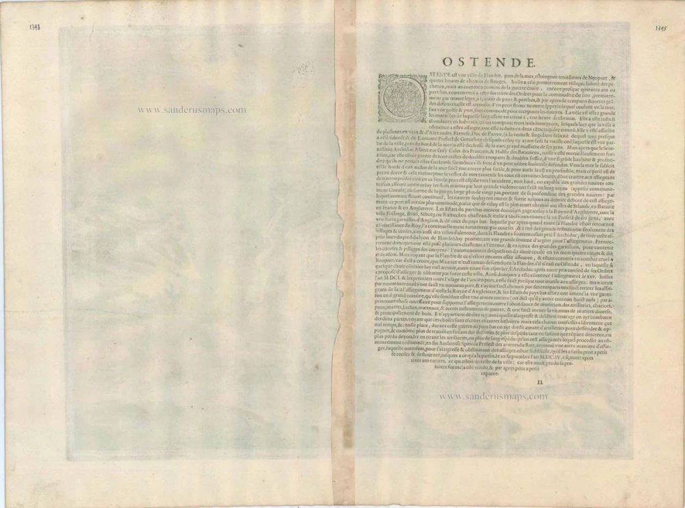
Verso text: French
Condition: Contemporary coloured, excellent.
Condition Rating: A
References: Van der Krogt 4, 3167; Taschen, Braun and Hogenberg, p.447.
From: Théatre des Principales Villes de tout l'Univers Vol. VI. c. 1625. (Van der Krogt 4, 41:3.6)


