
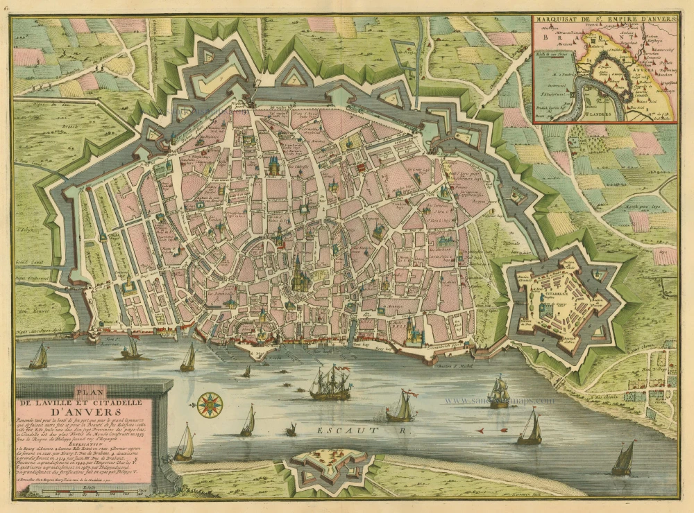
Antique map of Antwerpen by Fricx E. 1712
back
Plan de la ville et citadelle d'Anvers
SOLD
Item Number: 1003 Authenticity Guarantee
Category: Antique maps > Europe > Belgium
Copper engraving
Size: 39 x 53cm (15 x 21 inches)
Verso: Blank
Condition: Old coloured, excellent.
From: Table des cartes des Pays Bas et des Frontières de France, Avec un recueil des plans des villes, sièges et battailles données entre les Hauts Alliés et la France. Bruxelles, H. Fricx, 1712.