
Dendermonde, by Rapin de Thoyras. 1758

Plan of the City of Dendermonde, and the manner in which it was blocked by the troops of the Allies. With inset
Item Number: 22644 Authenticity Guarantee
Category: Antique maps > Europe > Belgium
Old, antique map of the vicinity of Dendermonde by Rapin de Thoyras.
Title: Plan of the City of Dendermonde, and the manner in which it was blocked by the troops of the Allies.
With inset
Date: 1758.
Copper engraving, printed on paper.
Size (not including margins): 380 x 475mm (14.96 x 18.7 inches).
Verso: Blank.
Condition: Hand coloured.
Condition Rating: A+.
From: The History of England, continued by H. Tindal. London, 1758.
Related items

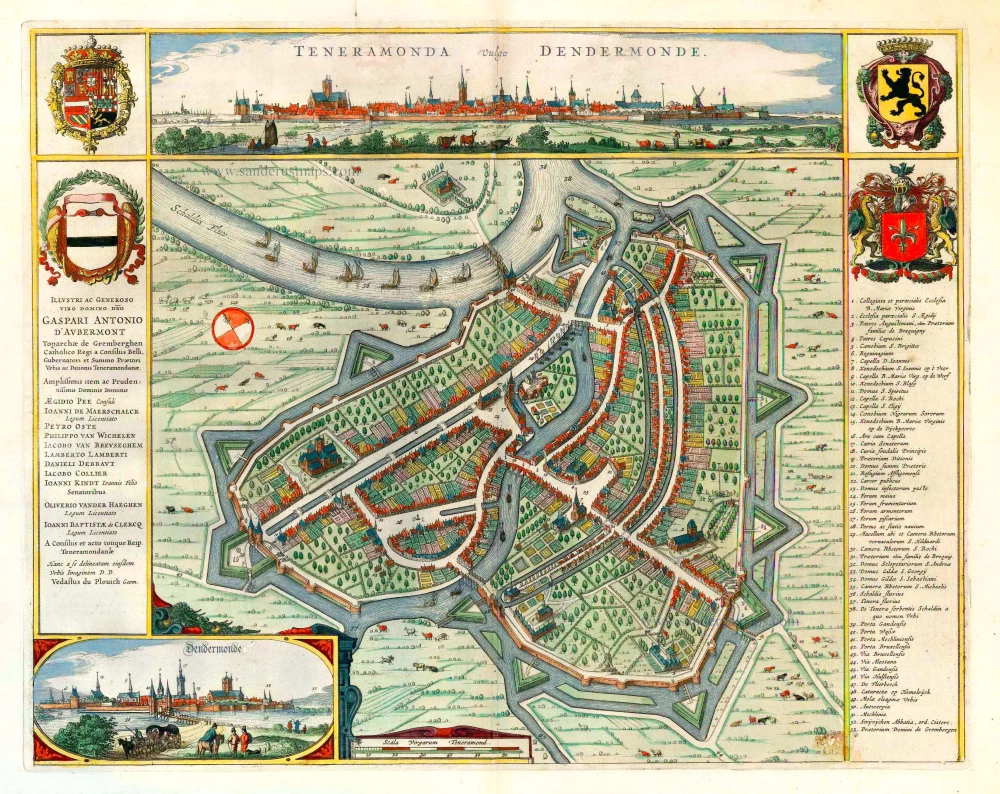
Teneramonda Vulgo Dendermonde. 1649
Dendermonde, by A. Sanderus, published by Joan Blaeu.
[Item number: 25232]

Teneramonda Vulgo Dendermonde. 1641
Dendermonde by Antonius Sanderus
[Item number: 25274]

Dendermonde. 1656
Dendermonde by Visscher N. - Schut P
[Item number: 25416]
Teneramonda Vulgo Dendermonde. 1652
Dendermonde by Joan Blaeu.
[Item number: 25521]

Vue de l'Hôtel de Ville de Termonde. ca. 1780
Dendermonde - Stadhuis door Basset (Paris)
[Item number: 32078]