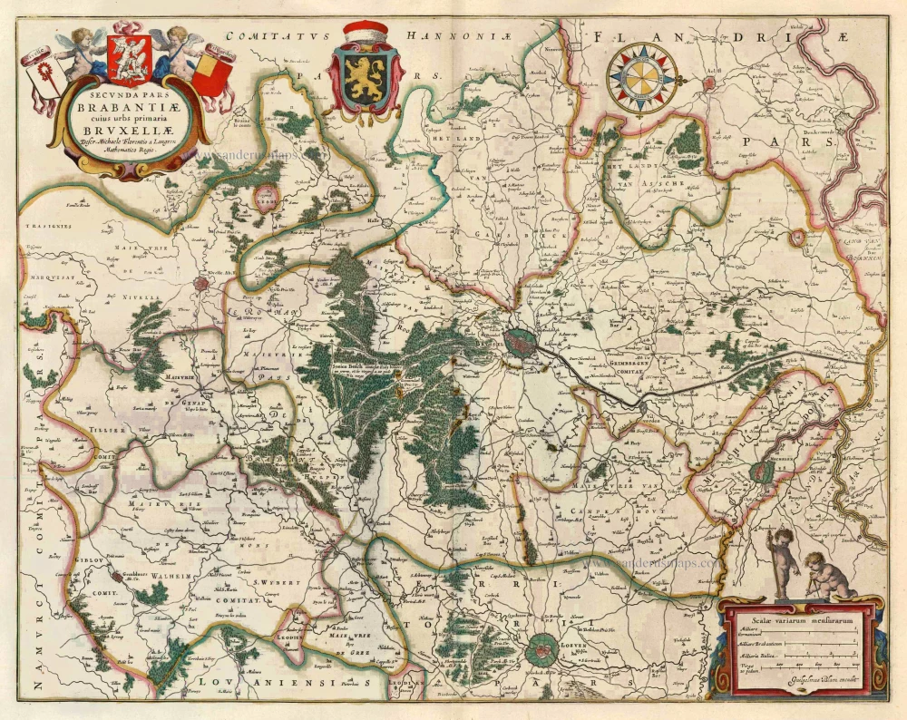
Antique map of the vicinity of Brussels by Blaeu J 1649-55
Secunda Pars Brabantiae cuius urbs primaria Bruxellae
Item Number: 6621 Authenticity Guarantee
Category: Antique maps > Europe > Belgium
Antique map of the vicinity of Brussels by Blaeu J., oriented to the West
The title cartouche is adorned with the arms of Brussels, Nivelles and Vilvoorde.
COMMENTARY ON VERSO: "As to the city of Brussels, it occupies a large area, having a double circuit of walls. The entire space between the two walls is filled with the townhouses of the great and a few houses of private individuals, along with gardens, meadows, orchards and, in places, fields; all of which make the city a very pleasant spot."
Cartographer: van Langeren M. F. (1598-1675)
Date of the first edition: 1634
Date of this map: 1649-55
Copper engraving
Size: 41.5 x 52.5cm (16.1 x 20.5 inches)
Verso text: Latin
Condition: Old coloured, excellent.
Condition Rating: A
References: Van der Krogt 2, 3111:2.
From: Theatrum Orbis Terrarum.. J. Blaeu, 1649-55. (Van der Krogt 2, 2:202)


