
Very important naval print: The first print published by the Blaeu family
Defeat of Spanish galleys by an Anglo-Dutch naval force off the coast of Flanders, 3-4 Oct. 1602. by Willem Blaeu c. 1602

The engraved title runs along the upper edge of the sheets. A cartouche in the lower right corner refers to the privilege granted to the author and engraver Johannes Rem: Johannes Remius | Inventor Andoverpianus | Cum Gratia et Privilegio. In the left corner is a decorative cartouche dedicated to the States General and Prince Maurits.
In the foreground of the print is a depiction of the coast, on which the following places are mentioned: 'Cales' [Calais], Greuelinge' [Gravelines], 'Nieupoort' [Nieuwpoort], 'Oostende' [Ostend], 'Blankeberge', 'Heist' and 'Sluys' [Sluis].
This is a second state: the paper strip with a text in Latin in ten columns, written by Richardus Lubbaeus, bears the imprint of Willem Jansz (= Willem Blaeu).
Separate underneath: An anonymous and previously unrecorded 44-strophe verse in Dutch.
Title of the verse: Eigentlijcke Figuerlijcke | Afbeldinghe | Oock | Cort ende warachtich verhael vande ondergangh ende vernielinghe van acht spaensche Galeyen, geschiet inden Iaer 1602, daer Generael op was Fredericus Spinola, waer van twee omtrent St uves Hoeck by Sesember door een Engels Coningins Schip t'ondergebrocht, ende d'andere door de oorlooghsschepen vande E.M.H. Staten sommighe overgeseylt ende de reste aende Strant gelaecht ende alsoo verdestrubeert zijn.
In the autumn of 1602, King Philip II of Spain equipped eight large galleys in Seville; these were to set out to the Netherlands under archduke Albert. The main object of sending this fleet was, together with the galleys and warships that were already present, to 'trouble and constrain the navigation of the coasts of England, Holland and Zeeland, and to close in on Ostend'. Two galleys were lost along the Spanish coast, while the remaining ones were destroyed by a combined Anglo-Dutch fleet of seven warships in a sea battle on 3 and 4 October 1602. Two galleys were sunk, and four were cast ashore on the coasts of Flanders and Zeeland.
The extensive text which has been added to the print along the lower edge provides the reader with detailed information about the various phases of the battle.
As early as 8 November the very same year, the States-General granted an exclusive five-year patent to the printmaker and publisher, Hans Rem, allowing him to make, print and sell pictures of 'the arrival of the enemy's galleys and how they were rammed and stranded'. Rem dedicated the monumental print to the States-General and Stadholder Prince Maurice. His three sheets depict different battle stages, as was customary in broad sheets of this kind.
Although Rem's legacy is limited - only three prints and a few landscape paintings have been attributed to him - his role in the Amsterdam art scene of the early 1600s seems to have been crucial. Originating from an Antwerp family of goldsmiths and painters, he's recorded as an Amsterdam poorter in 1594 and was active as a painter, engraver and art dealer.
Willem Blaeu's first involvement in cartography dates back as far as 1599. The present print canonizes an important episode of Dutch naval history and inspired many painters and printmakers of the time.
The Blaeus: Willem Janszoon, Cornelis & Joan
Willem Jansz. Blaeu and his son Joan Blaeu are the seventeenth century's most widely known cartographic publishers.
Willem Jansz. (also written Guilielmus Janssonius) = Willem Janszoon Blaeu was born in Uitgeest (Netherlands), near Alkmaar, in 1571. He studied mathematics under Tycho Brahe and learned the theory and practice of astronomical observations and the art of instrument- and globe-making.
In 1596, he came to Amsterdam, where he settled down as a globe-, instrument- and mapmaker. He published his first cartographic work (a globe) in 1599 and probably published his first printed map (a map of the Netherlands) in 1604. He specialised in maritime cartography, published the first edition of the pilot guide Het Licht der Zeevaert in 1608, and was appointed Hydrographer of the V.O.C. (United East India Company) in 1633. After publishing books, wall maps, globes, charts and pilot guides for thirty years, he brought out his first atlas, Atlas Appendix (1630). This was the beginning of the great tradition of atlas-making by the Blaeus.
In 1618, another mapmaker, bookseller and publisher, Johannes Janssonius, established himself in Amsterdam next door to Blaeu's shop. No wonder these two neighbours began accusing each other of copying and stealing their information and became fierce competitors who did not have a good word to say about each other. In about 1621 Willem Jansz. decided to end the confusion between his name and his competitor's and assumed his grandfather's nickname, 'blauwe Willem' ('blue Willem'), as the family name; after that, he called himself Willem Jansz. Blaeu.
Willem Janszoon Blaeu died in 1638, leaving his prospering business to his sons, Cornelis and Joan. We only know that Cornelis's name occurs in the prefaces of books and atlases until c. 1645.
Joan Blaeu, born in Amsterdam in 1596, became a partner in his father's book trade and printing business. 1638, he was appointed his father's successor in the Hydrographic Office of the V.O.C. His efforts culminated in the magnificent Atlas Major and the town books of the Netherlands and Italy – works unsurpassed in history and modern times, giving eternal fame to the name of the Blaeu's.
A fire ruined the business on February 23, 1672, and one year later, Dr. Joan Blaeu died. The fire and the director's passing caused the complete sale of the Blaeu House's stock. Five public auctions dispersed the remaining books, atlases, copperplates, globes, etc., among many other map dealers and publishers in Amsterdam. The majority was acquired by several booksellers acting in partnership.
In the succeeding years, the remaining printing department remained in the hands of the Blaeu family until 1695, when the printing house's inventory was sold at a public auction. That meant the end of the Blaeu family as a printing house of world renown.
Typus octo longaru[m] naviu[m]. Anno M.VI.c.II ab Hispaniae rege missaru[m] ad Oceanum Belgicum infestandu[m]. quarum naviu[m] quatuor Angloru[m] atq³ Hollandoru[m] virtute conquassatae sunt et submersae: ceterae naufragio periere.
Item Number: 26804 Authenticity Guarantee
Category: Antique maps > Europe > Belgium
Antique print showing the defeat of Spanish galleys by an Anglo-Dutch naval force off the coast of Flanders, 3-4 Oct. 1602, by Johannes Rem, published by Willem Blaeu.
The first print published by the Blaeu family: A monumental visual account containing a unique and previously unrecorded 44-strophe war poem.
Engraved by Johannes Rem (Antwerp, c.1567 - Amsterdam, c. 1620), and published by Willem Blaeu.
Date: c. 1602
Copper engraving in 3 sheets, printed on paper, joined, framed.
Size (not including margins): 54 x 122cm (21.1 x 47.6 inches)
Verso: Blank
Condition: Excellent.
Condition Rating: A+
References: Schilder 4, p.27-28 & 123ff; Muller F., Suppl. 1190 A
Separate Publication.
2nd state, with Latin text in ten columns (the first state has Dutch text in six columns).
2 copies recorded of the first state (Scheepvaartmuseum Amsterdam & Atlas van Stolk Rotterdam)
4 copies recorded of the second state (Rijksprentenkabinet Amsterdam; British Library London; Bibl. Nat. Paris; Albertina, Wien)
The engraved title runs along the upper edge of the sheets. A cartouche in the lower right corner refers to the privilege granted to the author and engraver Johannes Rem: Johannes Remius | Inventor Andoverpianus | Cum Gratia et Privilegio. In the left corner is a decorative cartouche dedicated to the States General and Prince Maurits.
In the foreground of the print is a depiction of the coast, on which the following places are mentioned: 'Cales' [Calais], Greuelinge' [Gravelines], 'Nieupoort' [Nieuwpoort], 'Oostende' [Ostend], 'Blankeberge', 'Heist' and 'Sluys' [Sluis].
This is a second state: the paper strip with a text in Latin in ten columns, written by Richardus Lubbaeus, bears the imprint of Willem Jansz (= Willem Blaeu).
Separate underneath: An anonymous and previously unrecorded 44-strophe verse in Dutch.
Title of the verse: Eigentlijcke Figuerlijcke | Afbeldinghe | Oock | Cort ende warachtich verhael vande ondergangh ende vernielinghe van acht spaensche Galeyen, geschiet inden Iaer 1602, daer Generael op was Fredericus Spinola, waer van twee omtrent St uves Hoeck by Sesember door een Engels Coningins Schip t'ondergebrocht, ende d'andere door de oorlooghsschepen vande E.M.H. Staten sommighe overgeseylt ende de reste aende Strant gelaecht ende alsoo verdestrubeert zijn.
In the autumn of 1602, King Philip II of Spain equipped eight large galleys in Seville; these were to set out to the Netherlands under archduke Albert. The main object of sending this fleet was, together with the galleys and warships that were already present, to 'trouble and constrain the navigation of the coasts of England, Holland and Zeeland, and to close in on Ostend'. Two galleys were lost along the Spanish coast, while the remaining ones were destroyed by a combined Anglo-Dutch fleet of seven warships in a sea battle on 3 and 4 October 1602. Two galleys were sunk, and four were cast ashore on the coasts of Flanders and Zeeland.
The extensive text which has been added to the print along the lower edge provides the reader with detailed information about the various phases of the battle.
As early as 8 November the very same year, the States-General granted an exclusive five-year patent to the printmaker and publisher, Hans Rem, allowing him to make, print and sell pictures of 'the arrival of the enemy's galleys and how they were rammed and stranded'. Rem dedicated the monumental print to the States-General and Stadholder Prince Maurice. His three sheets depict different battle stages, as was customary in broad sheets of this kind.
Although Rem's legacy is limited - only three prints and a few landscape paintings have been attributed to him - his role in the Amsterdam art scene of the early 1600s seems to have been crucial. Originating from an Antwerp family of goldsmiths and painters, he's recorded as an Amsterdam poorter in 1594 and was active as a painter, engraver and art dealer.
Willem Blaeu's first involvement in cartography dates back as far as 1599. The present print canonizes an important episode of Dutch naval history and inspired many painters and printmakers of the time.
The Blaeus: Willem Janszoon, Cornelis & Joan
Willem Jansz. Blaeu and his son Joan Blaeu are the seventeenth century's most widely known cartographic publishers.
Willem Jansz. (also written Guilielmus Janssonius) = Willem Janszoon Blaeu was born in Uitgeest (Netherlands), near Alkmaar, in 1571. He studied mathematics under Tycho Brahe and learned the theory and practice of astronomical observations and the art of instrument- and globe-making.
In 1596, he came to Amsterdam, where he settled down as a globe-, instrument- and mapmaker. He published his first cartographic work (a globe) in 1599 and probably published his first printed map (a map of the Netherlands) in 1604. He specialised in maritime cartography, published the first edition of the pilot guide Het Licht der Zeevaert in 1608, and was appointed Hydrographer of the V.O.C. (United East India Company) in 1633. After publishing books, wall maps, globes, charts and pilot guides for thirty years, he brought out his first atlas, Atlas Appendix (1630). This was the beginning of the great tradition of atlas-making by the Blaeus.
In 1618, another mapmaker, bookseller and publisher, Johannes Janssonius, established himself in Amsterdam next door to Blaeu's shop. No wonder these two neighbours began accusing each other of copying and stealing their information and became fierce competitors who did not have a good word to say about each other. In about 1621 Willem Jansz. decided to end the confusion between his name and his competitor's and assumed his grandfather's nickname, 'blauwe Willem' ('blue Willem'), as the family name; after that, he called himself Willem Jansz. Blaeu.
Willem Janszoon Blaeu died in 1638, leaving his prospering business to his sons, Cornelis and Joan. We only know that Cornelis's name occurs in the prefaces of books and atlases until c. 1645.
Joan Blaeu, born in Amsterdam in 1596, became a partner in his father's book trade and printing business. 1638, he was appointed his father's successor in the Hydrographic Office of the V.O.C. His efforts culminated in the magnificent Atlas Major and the town books of the Netherlands and Italy – works unsurpassed in history and modern times, giving eternal fame to the name of the Blaeu's.
A fire ruined the business on February 23, 1672, and one year later, Dr. Joan Blaeu died. The fire and the director's passing caused the complete sale of the Blaeu House's stock. Five public auctions dispersed the remaining books, atlases, copperplates, globes, etc., among many other map dealers and publishers in Amsterdam. The majority was acquired by several booksellers acting in partnership.
In the succeeding years, the remaining printing department remained in the hands of the Blaeu family until 1695, when the printing house's inventory was sold at a public auction. That meant the end of the Blaeu family as a printing house of world renown.
Related items
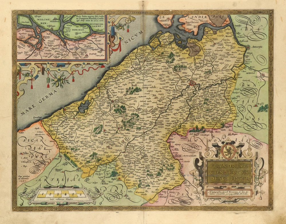
Flandriae Comitatus Descriptio. 1601
Vlaanderen by Abraham Ortelius
[Item number: 5767]

Comté de Flandres. 1633
Flanders (Vlaanderen) by Christophe Tassin.
[Item number: 31933]

Beautiful copy of this important map
Flandria. 1584
Flanders (Vlaanderen), by Abraham Ortelius.
[Item number: 32394]

Comitatus Flandriae in omnes ejusdem subjacentes Ditioescum adjacentibus accuratissime divisus. c. 1720
Flanders (Vlaanderen), by J.B. Homann.
[Item number: 32398]
The most beautiful 17th-century map of Flanders, with four decorative borders.
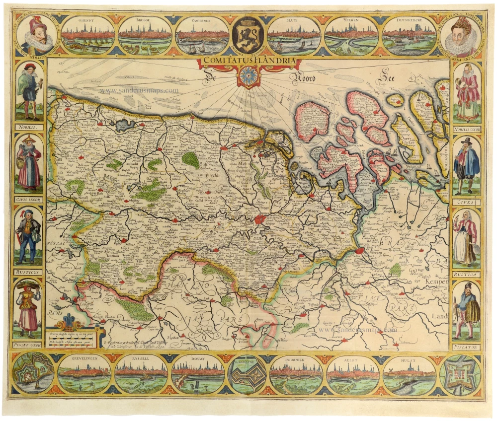
Comitatus Flandriae. 1652
Vlaanderen by C.J. Visscher.
[Item number: 33151]
new