
Very rare history plate.
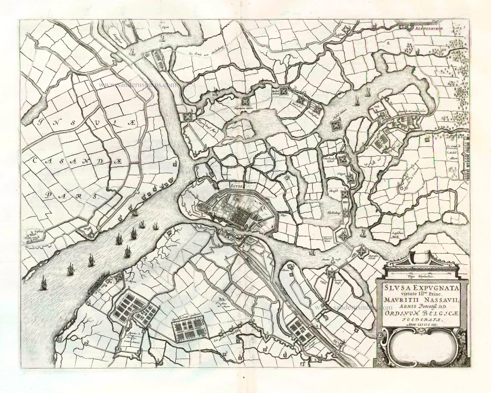
Siege of Sluis by the Spanish in 1621, by Abraham Hogenberg. 1627

Frans (Franz) Hogenberg (1535-1590)
Frans Hogenberg was a Flemish and German painter, engraver, and mapmaker. He was born in Mechelen as the son of Nicolaas Hogenberg.
By the end of the 1560s Frans Hogenberg was employed upon Abraham Ortelius's Theatrum Orbis Terrarum, published in 1570; he is named as engraver of numerous maps. In 1568 he was bannend from Antwerp by the Duke of Alva and travelled to London, where he stayed a few years before emigrating to Cologne. There he immediately embarked on his two most important works, the Civitates published from 1572 and the Geschichtsblätter, which appeared in several series from 1569 until about 1587.
Thanks to such large scale projects as the Geschichtsblätter and the Civitates, Hogenberg's social circumstances improved with each passing year. He died as a wealthy man in Cologne in 1590.
Abraham Hogenberg (c.1585-c.1653)
Painter, engraver, and publisher of Cologne, son of Frans by his second wife Agnes Lomar. He took over the Hogenberg firm c. 1610.
Eigentliche Abbildung, der starcke Statt Sluys, mit allen ihren Forten, Schanßen, und durchgegraben Teychen, und Polders, wie sie ietz lauffend 1621 anzuzehen sein, sampt des Konings Leger darumben.
Item Number: 30332 Authenticity Guarantee
Category: Antique maps > Europe > Belgium
Very rare history plate, shows the siege of Sluis by the Spanish in 1621, by Abraham Hogenberg.
Covers the region Knokke - Damme - Sas van Gent - Brugge.
Title: Eigentliche Abbildung, der starcke Statt Sluys, mit allen ihren Forten, Schanßen, und durchgegraben Teychen, und Polders, wie sie ietz lauffend 1621 anzuzehen sein, sampt des Konings Leger darumben.
Engraver: Abraham Hogenberg.
Date of the first edition: c. 1621.
Date of this map: 1627.
Copper engraving, printed on paper.
Image size: 220 x 285mm (8.66 x 11.22 inches).
Sheet size: 265 x 345mm (10.43 x 13.58 inches).
Verso: German text.
Condition: Hand coloured, centrefold reinforced.
Condition Rating: A
From: Caspar Enß, Fama Austriaca. Das ist Eugentliche Verzeichniß denckwürdiger Geschichten, welche sich in den nechverflossenen 16. Jahren hero biß auff und in das Jahr 1627 begeben haben. Cölln, Peter von Brachel und Abraham Hogenberg, 1627.
Frans (Franz) Hogenberg (1535-1590)
Frans Hogenberg was a Flemish and German painter, engraver, and mapmaker. He was born in Mechelen as the son of Nicolaas Hogenberg.
By the end of the 1560s Frans Hogenberg was employed upon Abraham Ortelius's Theatrum Orbis Terrarum, published in 1570; he is named as engraver of numerous maps. In 1568 he was bannend from Antwerp by the Duke of Alva and travelled to London, where he stayed a few years before emigrating to Cologne. There he immediately embarked on his two most important works, the Civitates published from 1572 and the Geschichtsblätter, which appeared in several series from 1569 until about 1587.
Thanks to such large scale projects as the Geschichtsblätter and the Civitates, Hogenberg's social circumstances improved with each passing year. He died as a wealthy man in Cologne in 1590.
Abraham Hogenberg (c.1585-c.1653)
Painter, engraver, and publisher of Cologne, son of Frans by his second wife Agnes Lomar. He took over the Hogenberg firm c. 1610.
Related items
Slusa Expugnata. ... 1652
Sluis, by Joan Blaeu.
[Item number: 26010]
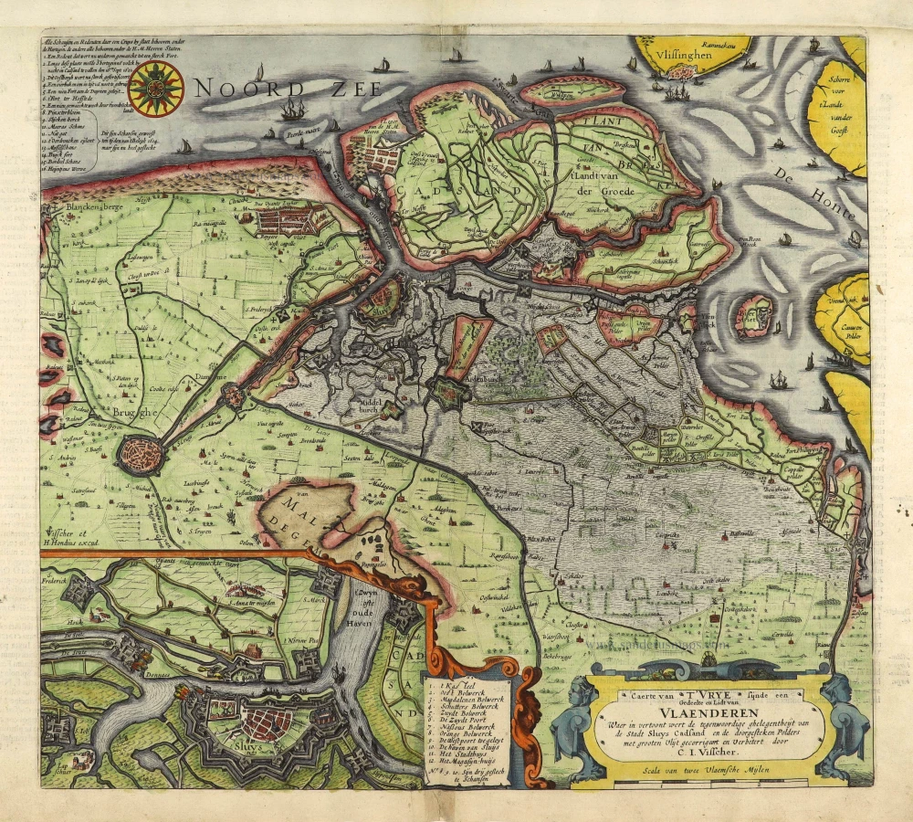
Rare.
Caerte van T'Vrye sijnde een Gedeelte en Lidt van Vlaenderen. Waer in vertoont wert de tegenwoordige ghelegenheiyt van de Stadt Sluys Cadsand en de doorgesteken Polders 1622
Brugse Vrije by C.J. Visscher, published by Petrus Kaerius (Pieter van den Keere).
[Item number: 28454]

Extremely rare map of Het Zwin (Knokke - Belgium)
Kaerte van Sluys, het Zwin ende de Schansen aen weder Syden. 1627-37
Het Zwin - Knokke, Sluis, and Cadzand by Claes Jansz Visscher.
[Item number: 30256]